Papigoe

Settlement in Caithness

Scotland

Papigoe

Wick Harbour South Pier Lighthouse Constructed in 1897.
Wick Harbour South Pier Lighthouse Credit: David Bremner

Papigoe is a small coastal village located in Caithness, a historic county in the Highlands of Scotland. Situated on the northeastern coast, Papigoe is approximately 2 miles north of the town of Wick. The village is nestled at the foot of a steep hill, overlooking the North Sea.

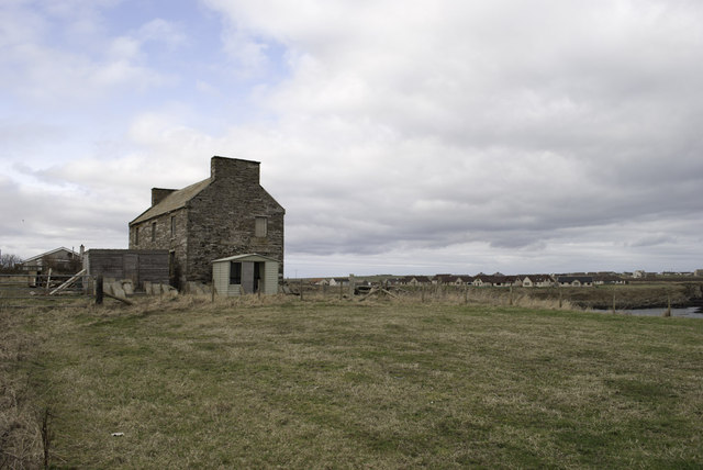
Papigoe is known for its picturesque setting and stunning views of the surrounding countryside. The village is characterized by charming traditional cottages, many of which date back to the 19th century. These cottages add to the village's quaint and idyllic atmosphere.

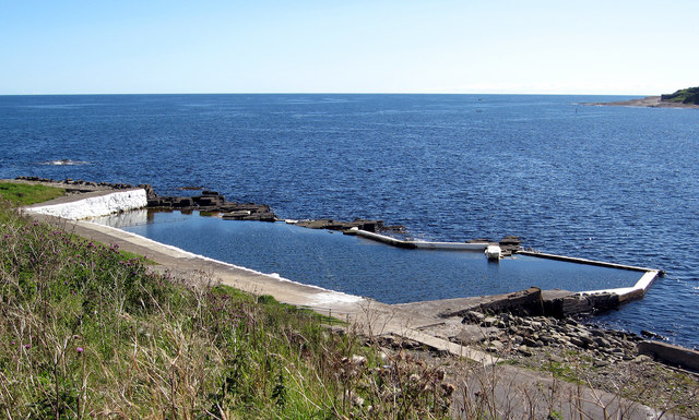
The primary industry in Papigoe is fishing, with a small fleet of fishing boats operating from the nearby harbor. The village has a close-knit community, and residents often come together for various social events and activities.

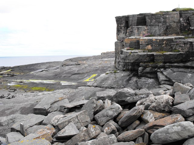
Nature enthusiasts will find Papigoe to be an ideal destination, as it offers easy access to the beautiful coastal landscape and rugged cliffs. The area is home to a rich variety of bird species, making it a popular spot for birdwatchers. Additionally, the nearby Caithness Coastal Path provides ample opportunities for hiking and exploring the scenic coastline.

The village of Papigoe is well-connected to surrounding areas via road, making it easily accessible for visitors. Wick, with its amenities such as shops, restaurants, and accommodations, is just a short drive away.

Overall, Papigoe is a charming coastal village that offers a peaceful retreat for both locals and tourists, with its stunning natural beauty and strong sense of community.

If you have any feedback on the listing, please let us know in the comments section below.

Papigoe Images

Images are sourced within 2km of 58.448257/-3.0607271 or Grid Reference ND3851. Thanks to Geograph Open Source API. All images are credited.

Wick Harbour South Pier Lighthouse Constructed in 1897.
Wick Harbour South Pier Lighthouse
Constructed in 1897.
Cliff Face Cliff face at South Head, below the old Coastguard Station
Cliff Face
Cliff face at South Head, below the old Coastguard Station
View across the entrance to Wick Bay With a fishing boat entering port past South Head.
View across the entrance to Wick Bay
With a fishing boat entering port past South Head.
Coastguard Lookout Hill of Man, Wick.
Coastguard Lookout
Hill of Man, Wick.
View over Wick Bay From near the Coastguard Lookout, with a fishing boat entering harbour.
View over Wick Bay
From near the Coastguard Lookout, with a fishing boat entering harbour.
Wick heritage Centre A great place to visit for education and local history.
Wick heritage Centre
A great place to visit for education and local history.
Yachts Ashore Yachts ashore at Wick harbour
Yachts Ashore
Yachts ashore at Wick harbour
Over wintered at Wick Harbour Collection of small boats ashore at Wick harbour
Over wintered at Wick Harbour
Collection of small boats ashore at Wick harbour
Boat Repair Slip Disused fishing boat repair slipway at Wick harbour. Picture taken at low tide.
Boat Repair Slip
Disused fishing boat repair slipway at Wick harbour. Picture taken at low tide.
North Baths, Wick The North Baths was officially opened on 7th Sept 1904. The pool continued in use for the next 60 plus years until it was abandoned in favour of the new indoor pool. The baths fell into dereliction until its restoration in 2004.
See Link: <span class="nowrap"><a title="http://www.caithness.org/community/environment/friendstrinkienorthbaths/index.htm" rel="nofollow ugc noopener" href="http://www.caithness.org/community/environment/friendstrinkienorthbaths/index.htm">Link</a><img style="margin-left:2px;" alt="External link" title="External link - shift click to open in new window" src="https://s1.geograph.org.uk/img/external.png" width="10" height="10"/></span>
North Baths, Wick
The North Baths was officially opened on 7th Sept 1904. The pool continued in use for the next 60 plus years until it was abandoned in favour of the new indoor pool. The baths fell into dereliction until its restoration in 2004. See Link: LinkExternal link
The Alexander Bain, Market Place, Wick A Wetherspoon pub in the town centre.
The Alexander Bain, Market Place, Wick
A Wetherspoon pub in the town centre.
Wick Harbour Bridge The Harbour Bridge viewed from Victoria Place.
Wick Harbour Bridge
The Harbour Bridge viewed from Victoria Place.
Wick Museum and Heritage Centre To the rear outside is a beautifully tended garden supporting all sorts of interesting plants.  This is due to the efforts of the volunteers who, as those on duty indoors, are so friendly and helpful.  If in Wick do not hesitate to visit this worthwhile place.
Wick Museum and Heritage Centre
To the rear outside is a beautifully tended garden supporting all sorts of interesting plants. This is due to the efforts of the volunteers who, as those on duty indoors, are so friendly and helpful. If in Wick do not hesitate to visit this worthwhile place.
Unloading at Wick River Harbour Cargo ship and crane in action.  The ship is in the River Harbour over the North Pier.  The foreground comprises the Inner Harbour.
Unloading at Wick River Harbour
Cargo ship and crane in action. The ship is in the River Harbour over the North Pier. The foreground comprises the Inner Harbour.
Large Barometer at Harbour Place Wall mounted and boxed.  You need a ladder to tap it though!
Large Barometer at Harbour Place
Wall mounted and boxed. You need a ladder to tap it though!
The Shore, Wick On the left is Wick Harbour Bridge.
The Shore, Wick
On the left is Wick Harbour Bridge.
Old building by Broad Haven
Wick harbour
Wick harbour
Show me another place!

Papigoe is located at Grid Ref: ND3851 (Lat: 58.448257, Lng: -3.0607271)

Unitary Authority: Highland

Police Authority: Highlands and Islands

What 3 Words

///good.prompting.magically. Near Wick, Highland

Related Wikis

Papigoe

Papigoe is a village on the east coast of Caithness, at the head of Broad Haven Bay in the Scottish Highlands and is in the Scottish council area of Highland...

Staxigoe

Staxigoe is a former fishing village, located 2 miles east of Wick on the north-eastern coast of the former county of Caithness, Scottish Highlands and...
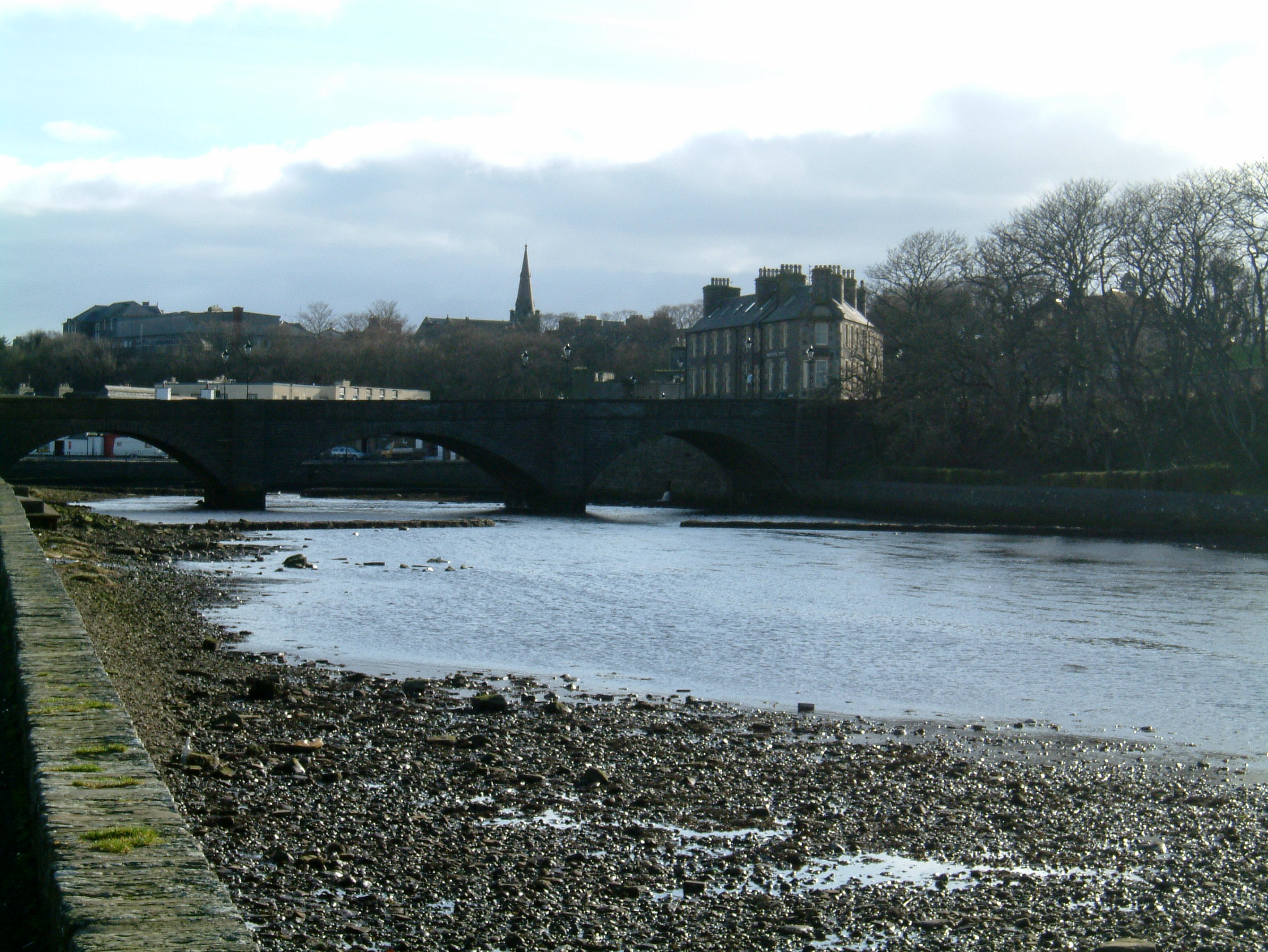
Wick, Caithness

Wick (Scottish Gaelic: Inbhir Ùige [ˈinivɪɾʲˈuːkʲə]; Scots: Week) is a town and royal burgh in Caithness, in the far north of Scotland. The town straddles...

County Offices, Wick

County Offices, formerly Stafford Place, is a municipal structure in the High Street, Wick, Caithness, Scotland. The façade of the building, which was...

Nearby Amenities

Located within 500m of 58.448257,-3.0607271
Bus Stop
Broadhaven Road
Naptan AtcoCode: 6700600209
Naptan Bearing: SW
Naptan CommonName: Broadhaven Road
Naptan Indicator: at Mowat Place
Naptan Landmark: Mowat Place
Naptan NaptanCode: 45326363
Naptan Street: Broadhaven Road
Naptan Verified: no
Source: naptan_import
Lat/Long: 58.4476514/-3.0616896
Bus Stop
Broadhaven Road
Naptan AtcoCode: 6700600210
Naptan Bearing: SW
Naptan CommonName: Broadhaven Road
Naptan Indicator: at Pilot Row
Naptan Landmark: Pilot Row
Naptan NaptanCode: 45326364
Naptan Street: Broadhaven Road
Naptan Verified: no
Source: naptan_import
Lat/Long: 58.4502212/-3.0572263
Papigoe
Place: village
Wikidata: Q7132835
Wikipedia: en:Papigoe
Lat/Long: 58.4492843/-3.0571606
Generator Method: photovoltaic
Generator Output Electricity: yes
Generator Source: solar
Generator Type: solar_photovoltaic_panel
Location: roof
Power: generator
Lat/Long: 58.4472963/-3.0601993
Generator Method: photovoltaic
Generator Output Electricity: yes
Generator Source: solar
Generator Type: solar_photovoltaic_panel
Location: roof
Power: generator
Lat/Long: 58.4447474/-3.0640858
Generator Method: photovoltaic
Generator Output Electricity: yes
Generator Source: solar
Generator Type: solar_photovoltaic_panel
Location: roof
Power: generator
Lat/Long: 58.4448751/-3.0644104
Give Way
Direction: forward
Lat/Long: 58.4451392/-3.0662798
Give Way
Direction: backward
Lat/Long: 58.44522/-3.0658623
Give Way
Direction: backward
Lat/Long: 58.4477443/-3.0615431
The data included in this document is from www.openstreetmap.org. The data is made available under ODbL.

Have you been to Papigoe?

Leave your review of Papigoe below (or comments, questions and feedback).