Panteg
Settlement in Cardiganshire
Wales
Panteg
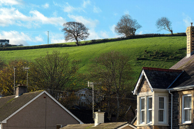
Panteg is a small village located in the county of Cardiganshire, Wales. Situated in the western part of the country, it is nestled in a picturesque valley surrounded by rolling hills and lush green countryside. The village is known for its tranquil and idyllic setting, making it a popular destination for nature lovers and those seeking a peaceful retreat.
Panteg is home to a close-knit community of approximately 300 residents. The village is characterized by its charming stone cottages and traditional Welsh architecture, which adds to its overall charm and appeal. The locals are known for their warm hospitality and strong sense of community spirit.
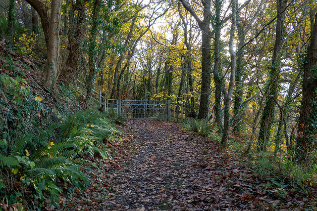
Despite its small size, Panteg offers a range of amenities to cater to the needs of its residents. These include a local convenience store, a primary school, and a village hall where various community events and gatherings take place. The village also boasts a number of scenic walking trails, allowing visitors to explore the surrounding natural beauty.
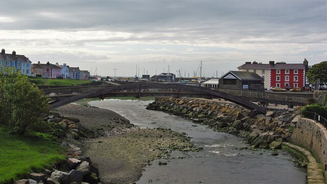
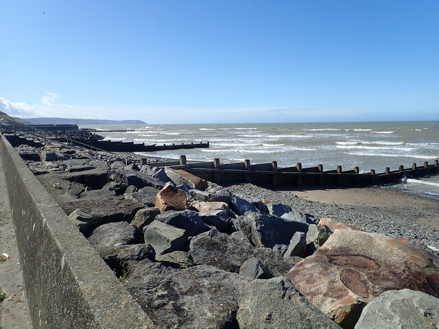
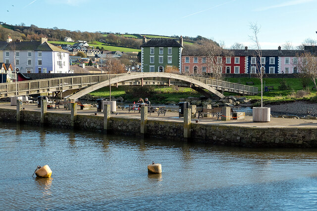
In terms of nearby attractions, Panteg is conveniently located within close proximity to the stunning Cardigan Bay coastline, which is famous for its sandy beaches and breathtaking views. The village also provides easy access to the nearby towns of Cardigan and Aberystwyth, which offer a wider range of amenities and attractions, including shops, restaurants, and historical sites.
Overall, Panteg is a delightful village that offers a peaceful and picturesque setting, making it an ideal destination for those seeking a tranquil escape in the heart of the Welsh countryside.
If you have any feedback on the listing, please let us know in the comments section below.
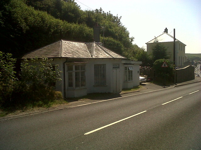
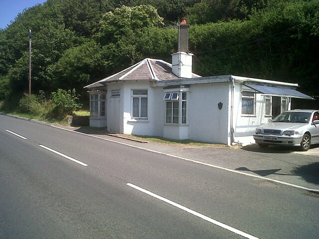
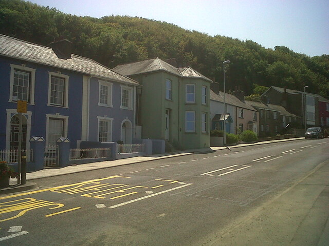
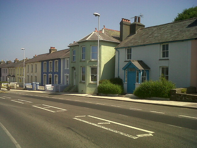
Panteg Images
Images are sourced within 2km of 52.234314/-4.2711815 or Grid Reference SN4562. Thanks to Geograph Open Source API. All images are credited.
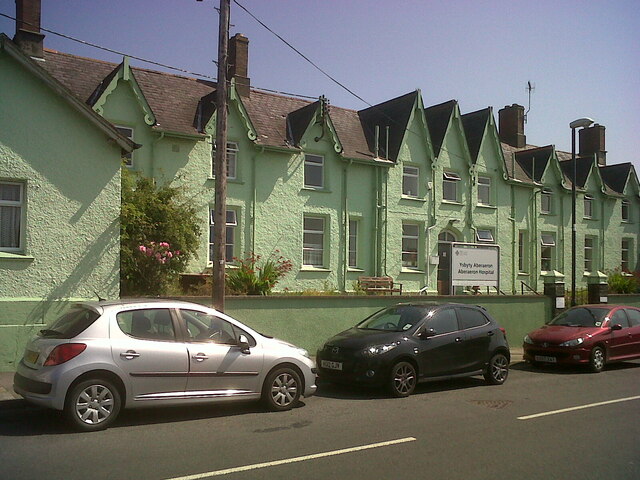
![Aberaeron Union Workhouse/Cottage Hospital This face of the building bore OSBM flush bracket S0449 at the East (left) angle:
The bracket was used on the Aberystwyth to Lampeter secondary line of the Second Geodetic Levelling of England &amp; Wales in 1942. It was levelled with a height of 43.956&#039; above OD (Newlyn). Description: E angle of workhouse, Aberayron. Abstract A 483: <span class="nowrap"><a title="http://discovery.nationalarchives.gov.uk/details/r/C11178827" rel="nofollow ugc noopener" href="http://discovery.nationalarchives.gov.uk/details/r/C11178827">Link</a><img style="margin-left:2px;" alt="External link" title="External link - shift click to open in new window" src="https://s1.geograph.org.uk/img/external.png" width="10" height="10"/></span> [OS 54/148]
The bracket, which had been obscured by rendering, was replaced by G2986 on the Midland Bank for the Third Geodetic Levelling in 1956.
Front: <a href="https://www.geograph.org.uk/photo/7358078">SN4662 : Aberaeron Union Workhouse/Cottage Hospital</a>](https://s1.geograph.org.uk/geophotos/07/35/80/7358085_ca41da23.jpg)
Panteg is located at Grid Ref: SN4562 (Lat: 52.234314, Lng: -4.2711815)
Unitary Authority: Ceredigion
Police Authority: Dyfed Powys
What 3 Words
///inflamed.capers.hypnotist. Near Aberaeron, Ceredigion
Related Wikis

Ceredigion District Council
Ceredigion District Council was one of six district-level authorities in the county of Dyfed, Wales, from 1974 until 1996. The district had an identical...

Henfynyw
Henfynyw is a village and community in the county of Ceredigion, Wales, just outside Aberaeron, and is 69.6 miles (111.9 km) from Cardiff and 183.5 miles...

Aberayron railway station
Aberayron railway station in Aberaeron was the terminus of the Lampeter, Aberayron and New Quay Light Railway branch line of the Carmarthen to Aberystwyth...

River Aeron
The River Aeron (Welsh: Afon Aeron) is a small river in Ceredigion, Wales, that flows into Cardigan Bay at Aberaeron. It is also referred to on some older...
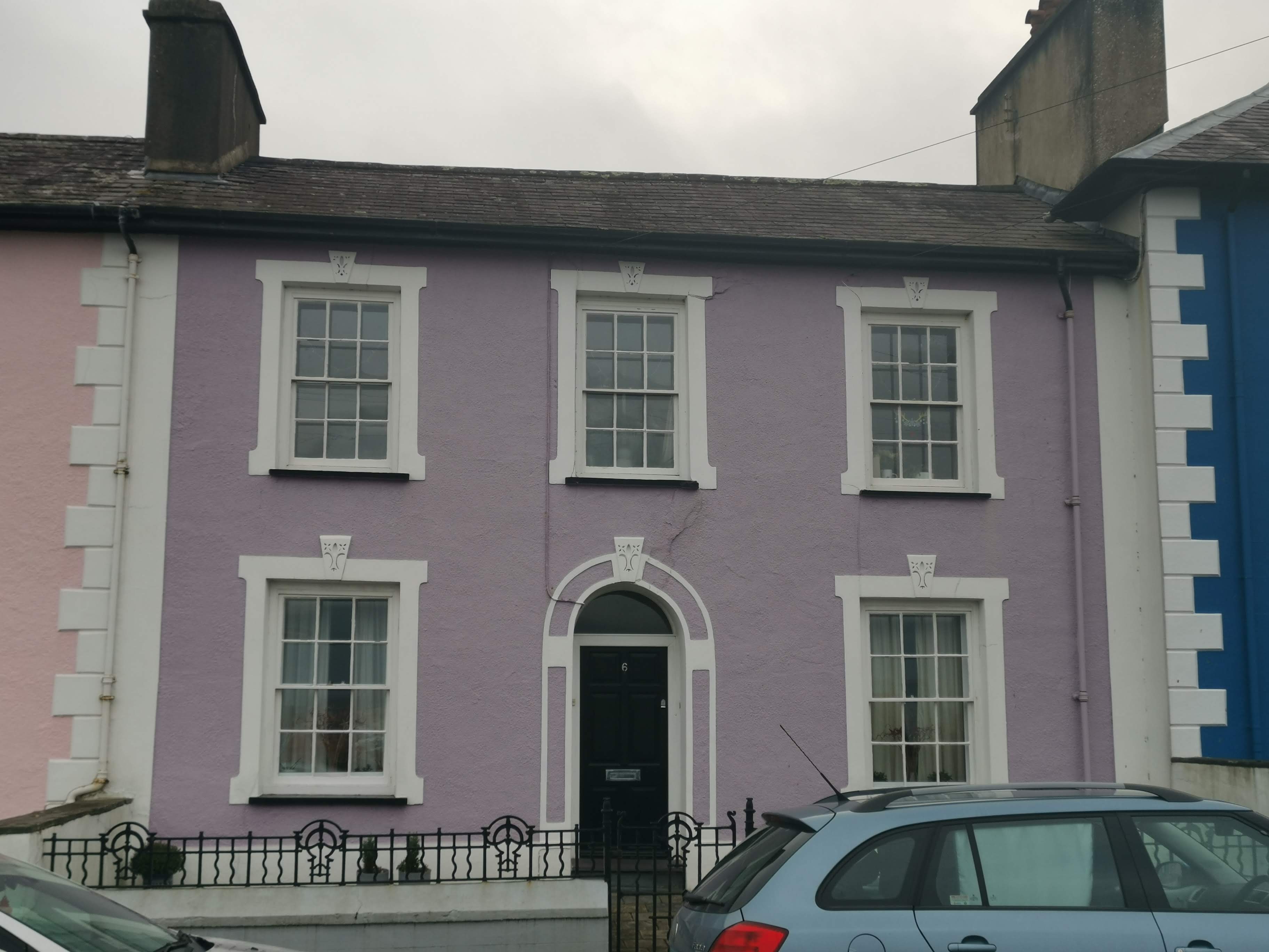
Portland Place, Aberaeron
Portland Place, in the centre of Aberaeron, Ceredigion, Wales is a terrace of mid-19th century townhouses. The town of Aberaeron was developed around 1810...

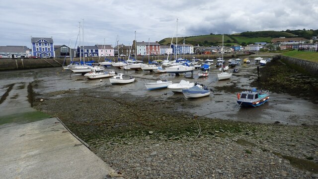
Aberaeron
Aberaeron, previously anglicised as Aberayron, is a town, community and electoral ward in Ceredigion, Wales. Located on the coast between Aberystwyth and...
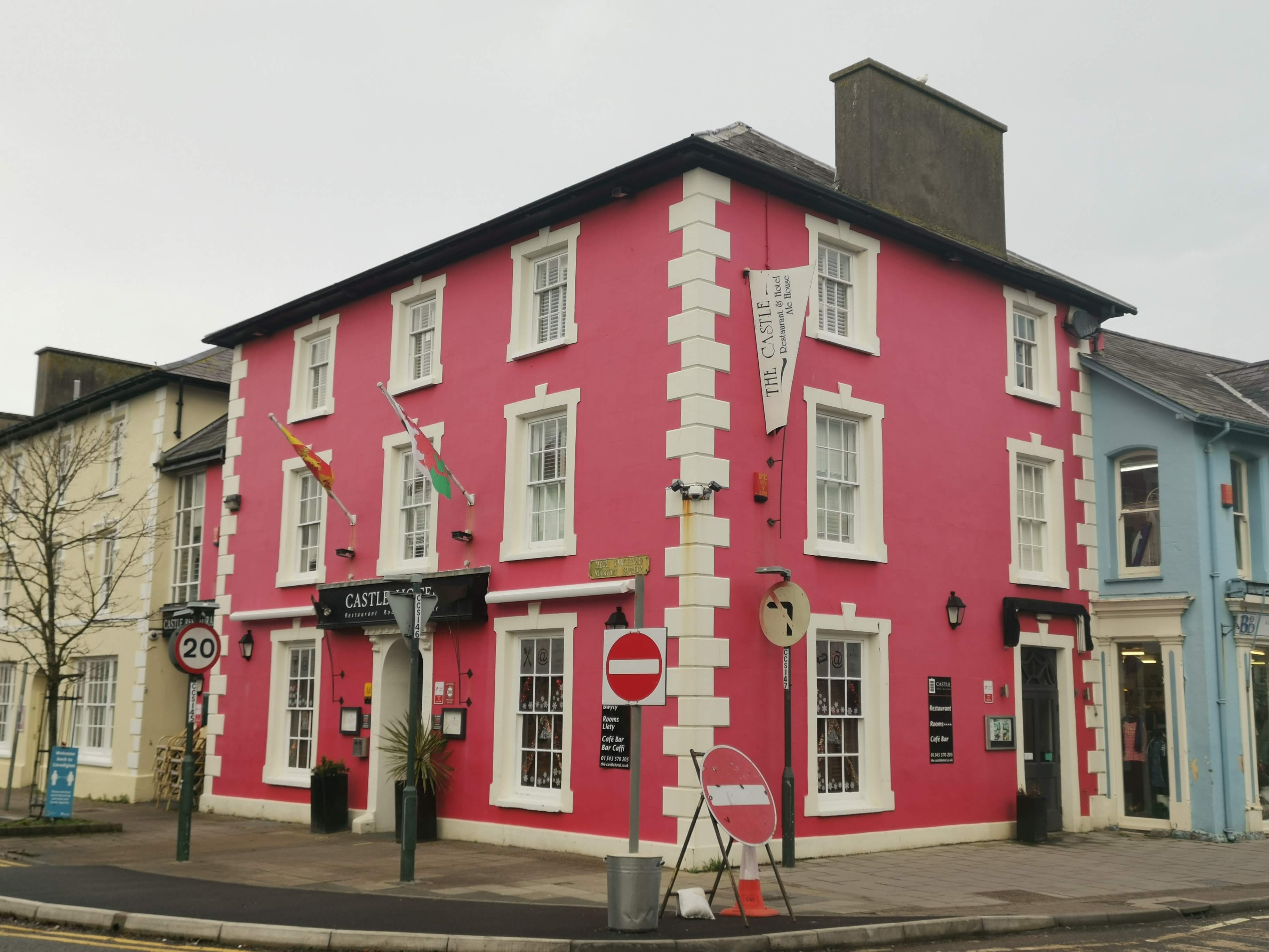
Castle Hotel, Aberaeron
The Castle Hotel, Aberaeron is located in a Grade II listed building in the coastal town of Aberaeron, Ceredigion, West Wales. The building is part of...
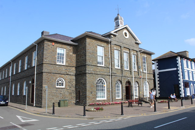
County Hall, Aberaeron
County Hall (Welsh: Neuadd y Sir Aberaeron), formerly Aberaeron Town Hall (Welsh: Neuadd y Dref Aberaeron), is a municipal building in Market Street,...
Nearby Amenities
Located within 500m of 52.234314,-4.2711815Have you been to Panteg?
Leave your review of Panteg below (or comments, questions and feedback).