Bilsby Field

Settlement in Lincolnshire East Lindsey

England

Bilsby Field

Direction Sign – Signpost at Bilsby Field, Alford Located at Bilsby Field on the southwest side of the t junction of Farlesthorpe Road and Back Lane in Alford parish. 3 arms and no finial. See also <a title="https://www.geograph.org.uk/photo/6279810" href="https://www.geograph.org.uk/photo/6279810">Link</a>.

Milestone Society National ID: LI_TF4675
Direction Sign – Signpost at Bilsby Field, Alford Credit: A Riley

Bilsby Field is a small village located in the county of Lincolnshire, England. Situated approximately 5 miles south-east of the market town of Alford, it is nestled amidst the picturesque Lincolnshire Wolds Area of Outstanding Natural Beauty.

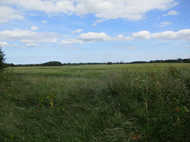
The village is characterized by its peaceful and rural setting, surrounded by rolling hills, lush green fields, and charming country lanes. Bilsby Field is primarily an agricultural community, with farming playing a significant role in the local economy.

The village itself is home to a small but close-knit population, with a tight sense of community. The houses in Bilsby Field are predominantly traditional, reflecting the area's rural heritage. The village is known for its well-maintained gardens and scenic landscapes, which are often admired by visitors.

Bilsby Field is an ideal destination for nature enthusiasts and outdoor lovers. The surrounding Lincolnshire Wolds offer numerous walking trails and cycling routes, allowing visitors to explore the breathtaking countryside. The area is also home to a diverse range of wildlife, making it a popular spot for birdwatching and nature photography.

While Bilsby Field is primarily a residential village, amenities such as local shops, schools, and healthcare facilities can be found in nearby Alford. The village's quiet and idyllic atmosphere, combined with its close proximity to larger towns and amenities, makes it an attractive place to live for those seeking a tranquil rural lifestyle.

If you have any feedback on the listing, please let us know in the comments section below.
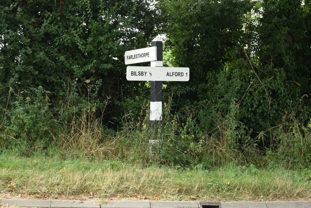
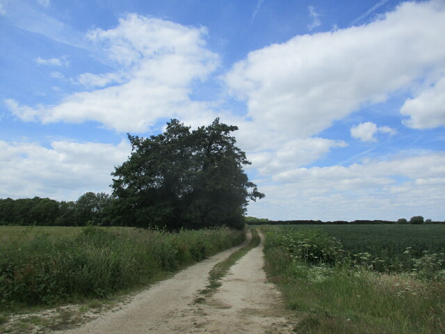
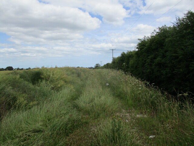
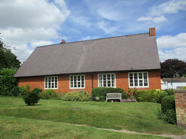
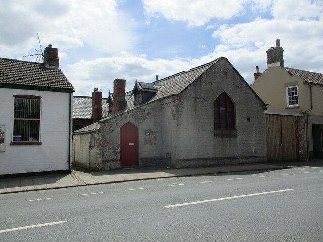
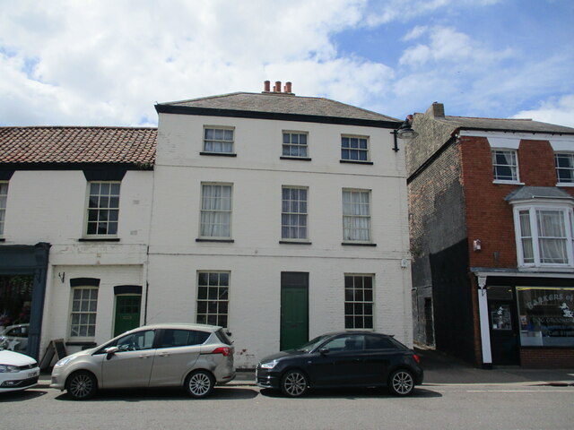
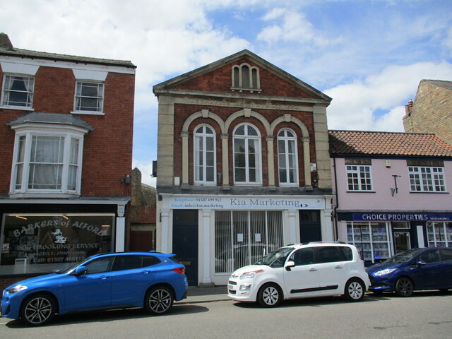
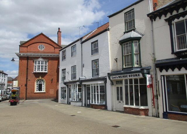
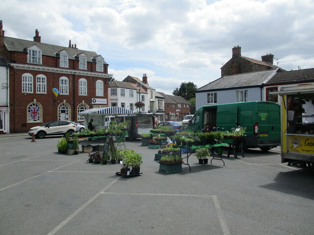
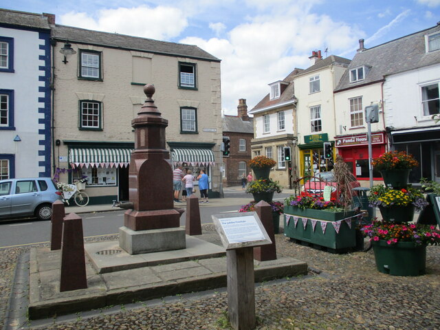
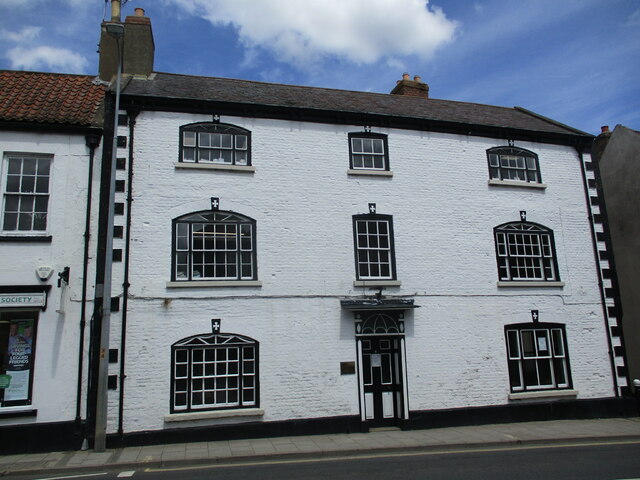
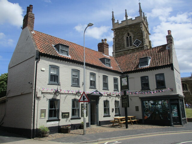
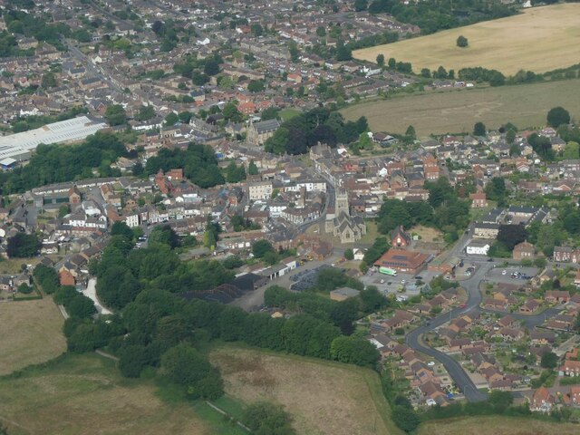
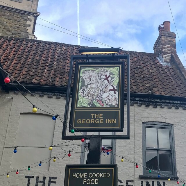
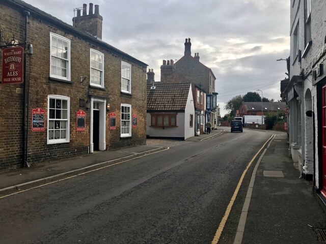
Bilsby Field Images

Images are sourced within 2km of 53.2549/0.1893 or Grid Reference TF4675. Thanks to Geograph Open Source API. All images are credited.

Direction Sign – Signpost at Bilsby Field, Alford Located at Bilsby Field on the southwest side of the t junction of Farlesthorpe Road and Back Lane in Alford parish. 3 arms and no finial. See also <a title="https://www.geograph.org.uk/photo/6279810" href="https://www.geograph.org.uk/photo/6279810">Link</a>.

Milestone Society National ID: LI_TF4675
Direction Sign – Signpost at Bilsby Field, Alford
Located at Bilsby Field on the southwest side of the t junction of Farlesthorpe Road and Back Lane in Alford parish. 3 arms and no finial. See also Link. Milestone Society National ID: LI_TF4675
Bridleway to Well
Bridleway to Well
Overgrown farm track near Well Turn
St. Wilfrid's church hall, Alford
Former chapel, Alford
Barley field near Sleights Holt
12 South Market Place, Alford Late eighteenth century house <span class="nowrap"><a title="https://historicengland.org.uk/listing/the-list/list-entry/1308717?section=official-list-entry" rel="nofollow ugc noopener" href="https://historicengland.org.uk/listing/the-list/list-entry/1308717?section=official-list-entry">Link</a><img style="margin-left:2px;" alt="External link" title="External link - shift click to open in new window" src="https://s1.geograph.org.uk/img/external.png" width="10" height="10"/></span>
12 South Market Place, Alford
Late eighteenth century house LinkExternal link
Former Mechanics Institute, Alford Dated 1854.
Former Mechanics Institute, Alford
Dated 1854.
South Market Place, Alford. East side
Market in Alford
Market in Alford
Drinking fountain, Market Place, Alford Commemorates Queen Victoria's Diamond Jubilee 1897 <span class="nowrap"><a title="https://historicengland.org.uk/listing/the-list/list-entry/1147007?section=official-list-entry" rel="nofollow ugc noopener" href="https://historicengland.org.uk/listing/the-list/list-entry/1147007?section=official-list-entry">Link</a><img style="margin-left:2px;" alt="External link" title="External link - shift click to open in new window" src="https://s1.geograph.org.uk/img/external.png" width="10" height="10"/></span>
Drinking fountain, Market Place, Alford
Commemorates Queen Victoria's Diamond Jubilee 1897 LinkExternal link
6 High Street, Alford Late eighteenth century house <span class="nowrap"><a title="https://historicengland.org.uk/listing/the-list/list-entry/1063033?section=official-list-entry" rel="nofollow ugc noopener" href="https://historicengland.org.uk/listing/the-list/list-entry/1063033?section=official-list-entry">Link</a><img style="margin-left:2px;" alt="External link" title="External link - shift click to open in new window" src="https://s1.geograph.org.uk/img/external.png" width="10" height="10"/></span>
6 High Street, Alford
Late eighteenth century house LinkExternal link
The George Hotel, Alford Dates from the early eighteenth century <span class="nowrap"><a title="https://historicengland.org.uk/listing/the-list/list-entry/1146974?section=official-list-entry" rel="nofollow ugc noopener" href="https://historicengland.org.uk/listing/the-list/list-entry/1146974?section=official-list-entry">Link</a><img style="margin-left:2px;" alt="External link" title="External link - shift click to open in new window" src="https://s1.geograph.org.uk/img/external.png" width="10" height="10"/></span>
The George Hotel, Alford
Dates from the early eighteenth century LinkExternal link
Alford: aerial 2022
Alford: aerial 2022
The sign of The George Inn See <a href="https://www.geograph.org.uk/photo/7213327">TF4576 : The George Hotel, Alford</a>
The sign of The George Inn
South Street, Alford With The White Hart on the left.
South Street, Alford
With The White Hart on the left.
3 East Street, Alford A view of the rear and street-facing elevations of a rather splendid early 18th century house. The side facing the street here has a series of blocked doors and windows, and was originally the frontage, but it's been re-configured in such a way that the main entrance is now on the side facing away from us here, and not easily seen due to hedges and the like. The whole place attracted a Grade II listing <span class="nowrap"><a title="https://britishlistedbuildings.co.uk/101146933-3-east-street-alford#.Y6Htw3bP3IU" rel="nofollow ugc noopener" href="https://britishlistedbuildings.co.uk/101146933-3-east-street-alford#.Y6Htw3bP3IU">Link</a><img style="margin-left:2px;" alt="External link" title="External link - shift click to open in new window" src="https://s1.geograph.org.uk/img/external.png" width="10" height="10"/></span> & <span class="nowrap"><a title="https://historicengland.org.uk/listing/the-list/list-entry/1146933" rel="nofollow ugc noopener" href="https://historicengland.org.uk/listing/the-list/list-entry/1146933">Link</a><img style="margin-left:2px;" alt="External link" title="External link - shift click to open in new window" src="https://s1.geograph.org.uk/img/external.png" width="10" height="10"/></span> in 1953.
3 East Street, Alford
A view of the rear and street-facing elevations of a rather splendid early 18th century house. The side facing the street here has a series of blocked doors and windows, and was originally the frontage, but it's been re-configured in such a way that the main entrance is now on the side facing away from us here, and not easily seen due to hedges and the like. The whole place attracted a Grade II listing LinkExternal link & LinkExternal link in 1953.
South along East Street, Alford View towards the centre of the town, and St Wilfrid's Church
South along East Street, Alford
View towards the centre of the town, and St Wilfrid's Church
Show me another place!

Bilsby Field is located at Grid Ref: TF4675 (Lat: 53.2549, Lng: 0.1893)

Division: Parts of Lindsey

Administrative County: Lincolnshire

District: East Lindsey

Police Authority: Lincolnshire

What 3 Words

///fear.blissful.grants. Near Alford, Lincolnshire

Nearby Locations

Bilsby Field

Related Wikis

John Spendluffe Technology College

John Spendluffe Technology College is a secondary school with academy status situated on Hanby Lane in the rural market town of Alford, Lincolnshire, England...

Alford, Lincolnshire

Alford (pronounced OL-fərd) is a town in the East Lindsey district of Lincolnshire, England, at the foot of the Lincolnshire Wolds, which form an Area...

Corn Exchange, Alford

The Corn Exchange is a commercial building in the Market Place in Alford, Lincolnshire, England. The structure, which is currently used as a community...

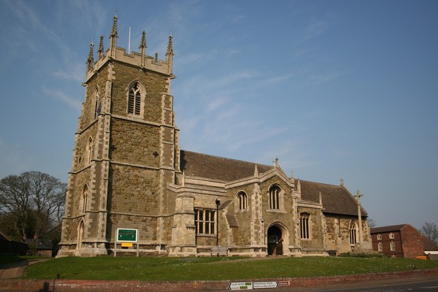
St Wilfrid's Church, Alford

St Wilfrid's, Alford is the Church of England parish church in Alford, Lincolnshire, England. It is a Grade I listed building. == Background == The church...

Related Videos

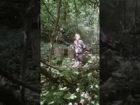
Walking In The Woods with Seben TV! Hoplands Wood, Alford, Lincs. #shorts #kidsvideo #family

Walking in the woods, looking for witches or Robin Hood! Here's another short video to add to our kids shorts! We are growing as ...

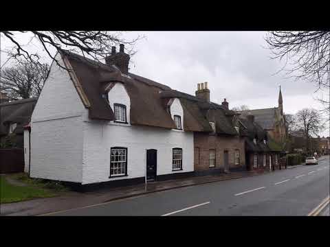
Alford walk, Lincolnshire, UK

Just a few pics from my mobile of a walk around and which included the small town of Alford in Lincolnshire. This walk was 5 miles ...

Nearby Amenities

Located within 500m of 53.2549,0.1893
Bus Stop
Rawnsley Close
Naptan AtcoCode: 270000009804
Naptan Bearing: E
Naptan BusStopType: CUS
Naptan CommonName: Rawnsley Close
Naptan Indicator: adj
Naptan Landmark: Rawnsley Close
Naptan NaptanCode: linjdwpw
Naptan Street: Farlesthorpe Road
Naptan Verified: no
Source: naptan_import
Lat/Long: 53.2556306/0.1839089
Bus Stop
Rawnsley Close
Naptan AtcoCode: 270000009805
Naptan Bearing: W
Naptan BusStopType: CUS
Naptan CommonName: Rawnsley Close
Naptan Indicator: opp
Naptan Landmark: Rawnsley Close
Naptan NaptanCode: linjdwta
Naptan Street: Farlesthorpe Road
Naptan Verified: no
Source: naptan_import
Lat/Long: 53.2555259/0.1837386
Power: pole
Lat/Long: 53.2508724/0.1912294
Power: pole
Source: Bing
Lat/Long: 53.2543251/0.1882708
Power: pole
Source: Bing
Lat/Long: 53.2528656/0.1888945
Power: pole
Lat/Long: 53.2513089/0.1895758
Power: pole
Source: Bing
Lat/Long: 53.2541927/0.1883164
Power: pole
Source: Bing
Lat/Long: 53.2547278/0.1880751
Power: pole
Source: Bing
Lat/Long: 53.2542224/0.1885927
Power: pole
Source: Bing
Lat/Long: 53.2578247/0.1884036
Power: pole
Lat/Long: 53.2525967/0.1898735
Power: pole
Source: Bing
Lat/Long: 53.2547174/0.1885136
Power: pole
Source: Bing
Lat/Long: 53.2534368/0.189207
Power: pole
Source: Bing
Lat/Long: 53.2543467/0.1884506
Power: pole
Source: Bing
Lat/Long: 53.2563107/0.1880496
Power: pole
Lat/Long: 53.2562073/0.187788
Power: pole
Source: Bing
Lat/Long: 53.2554956/0.1879356
Power: pole
Source: Bing
Lat/Long: 53.2545673/0.1885579
Power: pole
Lat/Long: 53.2535836/0.1907077
Power: pole
Source: Bing
Lat/Long: 53.2542159/0.1897367
Power: pole
Lat/Long: 53.2593714/0.1887617
Power: pole
Lat/Long: 53.256956/0.1876706
Power: pole
Lat/Long: 53.2576505/0.1866819
Power: pole
Lat/Long: 53.2584017/0.1858101
Jorich Farm
Place: farm
Source: Bing
Lat/Long: 53.2560196/0.1936647
Bilsby Field
Is In: Lincolnshire, England, UK
Place: locality
Source: Bing
Lat/Long: 53.2544894/0.1914538
Power: pole
Lat/Long: 53.2518252/0.1904997
Generator Method: photovoltaic
Generator Output Electricity: yes
Generator Source: solar
Generator Type: solar_photovoltaic_panel
Location: roof
Power: generator
Lat/Long: 53.2547621/0.1865633
The data included in this document is from www.openstreetmap.org. The data is made available under ODbL.

Have you been to Bilsby Field?

Leave your review of Bilsby Field below (or comments, questions and feedback).