Bilsby

Settlement in Lincolnshire East Lindsey

England

Bilsby

Direction Sign – Signpost at Bilsby Field, Alford Located at Bilsby Field on the southwest side of the t junction of Farlesthorpe Road and Back Lane in Alford parish. 3 arms and no finial. See also <a title="https://www.geograph.org.uk/photo/6279810" href="https://www.geograph.org.uk/photo/6279810">Link</a>.

Milestone Society National ID: LI_TF4675
Direction Sign – Signpost at Bilsby Field, Alford Credit: A Riley

Bilsby is a small village located in the East Lindsey district of Lincolnshire, England. With a population of approximately 400 residents, it is nestled amidst the picturesque Lincolnshire Wolds, an Area of Outstanding Natural Beauty. Bilsby is situated about 6 miles northeast of the market town of Alford and 12 miles southeast of the coastal town of Mablethorpe.

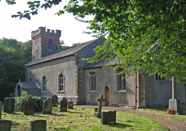
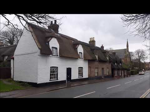
Known for its tranquil and idyllic surroundings, Bilsby offers a charming rural setting for its residents. The village is characterized by its traditional, well-preserved architecture, with many of its buildings dating back several centuries. The local St. Margaret's Church, a Grade II listed building, is a significant landmark in the area and a testament to the village's historical heritage.

Despite its small size, Bilsby boasts a strong sense of community, with various social and recreational activities organized throughout the year. The village hosts an annual summer fete, bringing together locals and visitors alike to enjoy live music, games, and stalls selling local produce.

For amenities, Bilsby is equipped with a village hall that serves as a hub for community events and gatherings. However, residents typically rely on nearby towns for additional services such as shopping, healthcare, and education.

Overall, Bilsby offers a peaceful and picturesque retreat for those seeking a quiet village lifestyle amidst the natural beauty of the Lincolnshire Wolds.

If you have any feedback on the listing, please let us know in the comments section below.
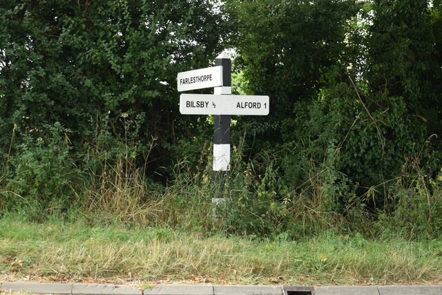
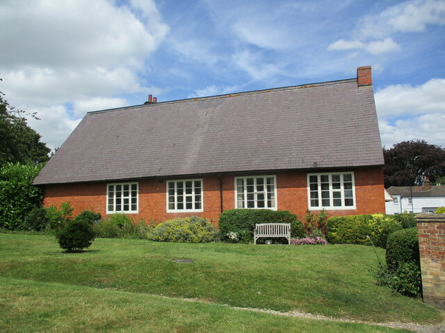
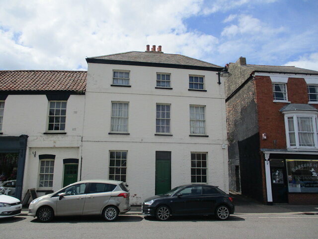
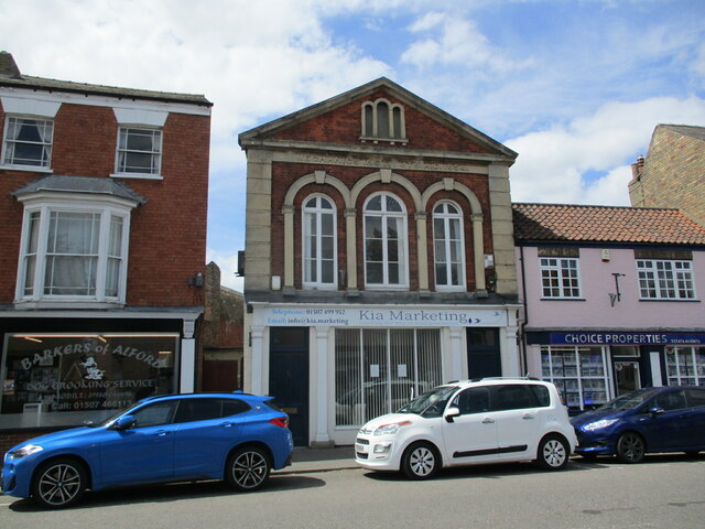
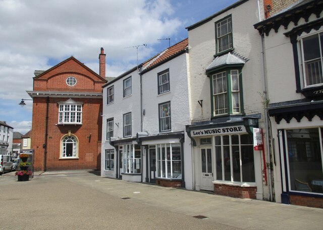
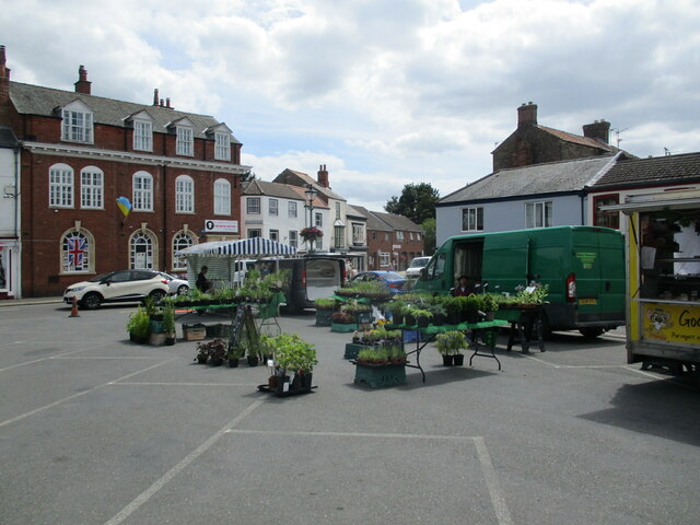
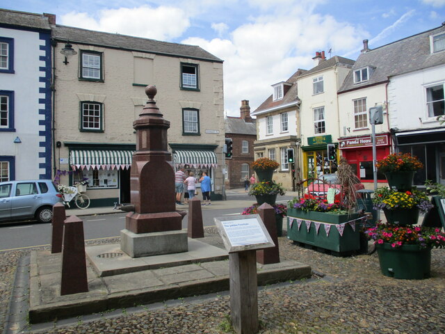
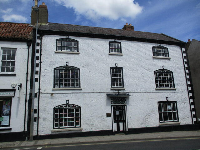
Bilsby Images

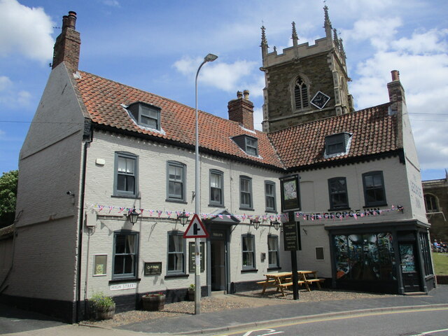
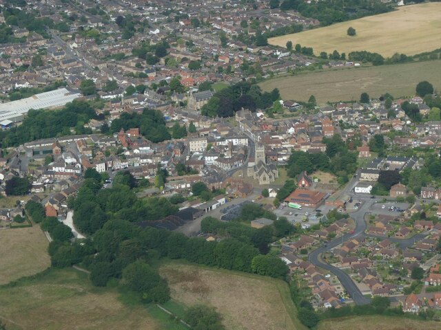
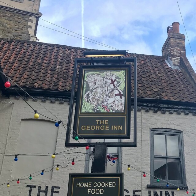
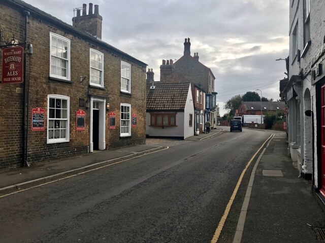
Images are sourced within 2km of 53.264578/0.203786 or Grid Reference TF4776. Thanks to Geograph Open Source API. All images are credited.

Direction Sign – Signpost at Bilsby Field, Alford Located at Bilsby Field on the southwest side of the t junction of Farlesthorpe Road and Back Lane in Alford parish. 3 arms and no finial. See also <a title="https://www.geograph.org.uk/photo/6279810" href="https://www.geograph.org.uk/photo/6279810">Link</a>.

Milestone Society National ID: LI_TF4675
Direction Sign – Signpost at Bilsby Field, Alford
Located at Bilsby Field on the southwest side of the t junction of Farlesthorpe Road and Back Lane in Alford parish. 3 arms and no finial. See also Link. Milestone Society National ID: LI_TF4675
St. Wilfrid's church hall, Alford
12 South Market Place, Alford Late eighteenth century house <span class="nowrap"><a title="https://historicengland.org.uk/listing/the-list/list-entry/1308717?section=official-list-entry" rel="nofollow ugc noopener" href="https://historicengland.org.uk/listing/the-list/list-entry/1308717?section=official-list-entry">Link</a><img style="margin-left:2px;" alt="External link" title="External link - shift click to open in new window" src="https://s1.geograph.org.uk/img/external.png" width="10" height="10"/></span>
12 South Market Place, Alford
Late eighteenth century house LinkExternal link
Former Mechanics Institute, Alford Dated 1854.
Former Mechanics Institute, Alford
Dated 1854.
South Market Place, Alford. East side
Market in Alford
Market in Alford
Drinking fountain, Market Place, Alford Commemorates Queen Victoria's Diamond Jubilee 1897 <span class="nowrap"><a title="https://historicengland.org.uk/listing/the-list/list-entry/1147007?section=official-list-entry" rel="nofollow ugc noopener" href="https://historicengland.org.uk/listing/the-list/list-entry/1147007?section=official-list-entry">Link</a><img style="margin-left:2px;" alt="External link" title="External link - shift click to open in new window" src="https://s1.geograph.org.uk/img/external.png" width="10" height="10"/></span>
Drinking fountain, Market Place, Alford
Commemorates Queen Victoria's Diamond Jubilee 1897 LinkExternal link
6 High Street, Alford Late eighteenth century house <span class="nowrap"><a title="https://historicengland.org.uk/listing/the-list/list-entry/1063033?section=official-list-entry" rel="nofollow ugc noopener" href="https://historicengland.org.uk/listing/the-list/list-entry/1063033?section=official-list-entry">Link</a><img style="margin-left:2px;" alt="External link" title="External link - shift click to open in new window" src="https://s1.geograph.org.uk/img/external.png" width="10" height="10"/></span>
6 High Street, Alford
Late eighteenth century house LinkExternal link
The George Hotel, Alford Dates from the early eighteenth century <span class="nowrap"><a title="https://historicengland.org.uk/listing/the-list/list-entry/1146974?section=official-list-entry" rel="nofollow ugc noopener" href="https://historicengland.org.uk/listing/the-list/list-entry/1146974?section=official-list-entry">Link</a><img style="margin-left:2px;" alt="External link" title="External link - shift click to open in new window" src="https://s1.geograph.org.uk/img/external.png" width="10" height="10"/></span>
The George Hotel, Alford
Dates from the early eighteenth century LinkExternal link
Alford: aerial 2022
Alford: aerial 2022
The sign of The George Inn See <a href="https://www.geograph.org.uk/photo/7213327">TF4576 : The George Hotel, Alford</a>
The sign of The George Inn
South Street, Alford With The White Hart on the left.
South Street, Alford
With The White Hart on the left.
3 East Street, Alford A view of the rear and street-facing elevations of a rather splendid early 18th century house. The side facing the street here has a series of blocked doors and windows, and was originally the frontage, but it's been re-configured in such a way that the main entrance is now on the side facing away from us here, and not easily seen due to hedges and the like. The whole place attracted a Grade II listing <span class="nowrap"><a title="https://britishlistedbuildings.co.uk/101146933-3-east-street-alford#.Y6Htw3bP3IU" rel="nofollow ugc noopener" href="https://britishlistedbuildings.co.uk/101146933-3-east-street-alford#.Y6Htw3bP3IU">Link</a><img style="margin-left:2px;" alt="External link" title="External link - shift click to open in new window" src="https://s1.geograph.org.uk/img/external.png" width="10" height="10"/></span> & <span class="nowrap"><a title="https://historicengland.org.uk/listing/the-list/list-entry/1146933" rel="nofollow ugc noopener" href="https://historicengland.org.uk/listing/the-list/list-entry/1146933">Link</a><img style="margin-left:2px;" alt="External link" title="External link - shift click to open in new window" src="https://s1.geograph.org.uk/img/external.png" width="10" height="10"/></span> in 1953.
3 East Street, Alford
A view of the rear and street-facing elevations of a rather splendid early 18th century house. The side facing the street here has a series of blocked doors and windows, and was originally the frontage, but it's been re-configured in such a way that the main entrance is now on the side facing away from us here, and not easily seen due to hedges and the like. The whole place attracted a Grade II listing LinkExternal link & LinkExternal link in 1953.
South along East Street, Alford View towards the centre of the town, and St Wilfrid's Church
South along East Street, Alford
View towards the centre of the town, and St Wilfrid's Church
Cattle pens, Furze Hill, south of Markby: aerial 2023
Site of Thurlby DMV: aerial 2023 See: <span class="nowrap"><a title="https://www.heritagegateway.org.uk/Gateway/Results_Single.aspx?uid=MLI41486&resourceID=1006" rel="nofollow ugc noopener" href="https://www.heritagegateway.org.uk/Gateway/Results_Single.aspx?uid=MLI41486&resourceID=1006">Link</a><img style="margin-left:2px;" alt="External link" title="External link - shift click to open in new window" src="https://s1.geograph.org.uk/img/external.png" width="10" height="10"/></span>
Site of Thurlby DMV: aerial 2023
See: LinkExternal link
Free range hen farm at Asserby Turn, Bilsby: aerial 2023
Egg Farm, Bilsby: aerial 2023
Show me another place!

Bilsby is located at Grid Ref: TF4776 (Lat: 53.264578, Lng: 0.203786)

Division: Parts of Lindsey

Administrative County: Lincolnshire

District: East Lindsey

Police Authority: Lincolnshire

What 3 Words

///minimums.horns.animator. Near Alford, Lincolnshire

Nearby Locations

Bilsby

Related Wikis

Bilsby

Bilsby is a village and civil parish in the East Lindsey district of Lincolnshire, England. It lies on the main A1111 road between Alford and Sutton-on...

Alford Windmill

Alford Windmill is a five-sailed windmill in Alford, Lincolnshire and the only surviving windmill out of four. Though the windmill has been restored to...

John Spendluffe Technology College

John Spendluffe Technology College is a secondary school with academy status situated on Hanby Lane in the rural market town of Alford, Lincolnshire, England...

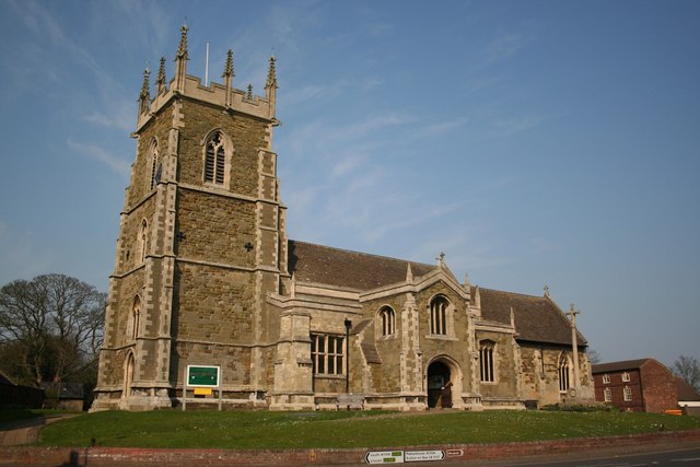
St Wilfrid's Church, Alford

St Wilfrid's, Alford is the Church of England parish church in Alford, Lincolnshire, England. It is a Grade I listed building. == Background == The church...

Related Videos

Alford walk, Lincolnshire, UK

Just a few pics from my mobile of a walk around and which included the small town of Alford in Lincolnshire. This walk was 5 miles ...

Camping in Alford

Long weekend catching up with relatives.

Nearby Amenities

Located within 500m of 53.264578,0.203786
Back Lane
Naptan AtcoCode: 270000009823
Naptan Bearing: E
Naptan BusStopType: CUS
Naptan CommonName: Back Lane
Naptan Indicator: E - bound
Naptan Landmark: Back Lane
Naptan NaptanCode: linjgagp
Naptan Street: Thurlby Road
Naptan Verified: no
Source: naptan_import
Lat/Long: 53.264661/0.2037437
Back Lane
Naptan AtcoCode: 2700LBBL5283
Naptan Bearing: W
Naptan BusStopType: CUS
Naptan CommonName: Back Lane
Naptan Indicator: W - bound
Naptan Landmark: Back Lane
Naptan NaptanCode: lindtdpw
Naptan Street: Thurlby Road
Naptan Verified: no
Source: naptan_import
Lat/Long: 53.2646208/0.2034867
The Three Tuns PH
Naptan AtcoCode: 2700LBSS0056
Naptan Bearing: NW
Naptan BusStopType: CUS
Naptan CommonName: The Three Tuns PH
Naptan Indicator: opp
Naptan Landmark: The Three Tuns PH
Naptan NaptanCode: linadajt
Naptan Street: Alford Road
Naptan Verified: no
Source: naptan_import
Lat/Long: 53.2658644/0.2018711
The Three Tuns PH
Naptan AtcoCode: 2700LBTT2227
Naptan Bearing: SE
Naptan BusStopType: CUS
Naptan CommonName: The Three Tuns PH
Naptan Indicator: adj
Naptan Landmark: The Three Tuns PH
Naptan NaptanCode: linapmag
Naptan Street: Alford Road
Naptan Verified: no
Source: naptan_import
Lat/Long: 53.2659169/0.2019488
Pub
Three Tuns
Lat/Long: 53.2655937/0.2020961
Bilsby
Place: village
Source: Bing
Lat/Long: 53.2653627/0.2030939
Post Office
Bilsby Post Office
Addr City: Alford
Addr Country: GB
Addr Postcode: LN13 9PY
Addr Street: Alford Road
Addr Suburb: Bilsby
Brand: Post Office
Brand Wikidata: Q1783168
Contact Website: https://www.postoffice.co.uk/branch-finder/4613112/bilsby
Nohousenumber: yes
Ref Pol Id: 15307
Lat/Long: 53.2659658/0.2006638
Bilsby Moor Farm
Place: farm
Source: Bing
Lat/Long: 53.2658689/0.2048262
The Grange
Place: farm
Source: Bing
Lat/Long: 53.2619188/0.2039198
SPAR
Addr City: Alford
Addr Country: GB
Addr Housename: Bilsby Garage
Addr Postcode: LN13 9PY
Addr Street: Alford Road
Addr Suburb: Bilsby
Addr Village: Bilsby
Brand: Spar
Brand Wikidata: Q610492
Brand Wikipedia: en:SPAR (retailer)
Fhrs Authority: East Lindsey
Fhrs Id: 156067
Fhrs Local Authority Id: EHFDI/01807/08
Nohousenumber: yes
Shop: convenience
Website: https://www.spar.co.uk/store-locator/afb18192-spar-bilsby/
Lat/Long: 53.2659413/0.2007794
The data included in this document is from www.openstreetmap.org. The data is made available under ODbL.

Have you been to Bilsby?

Leave your review of Bilsby below (or comments, questions and feedback).