Padworth Common
Settlement in Berkshire
England
Padworth Common
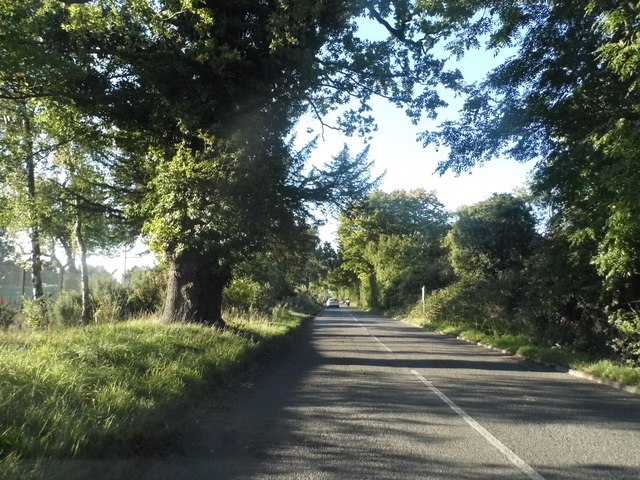
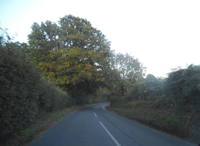
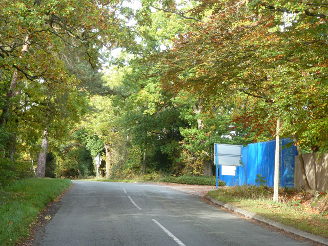
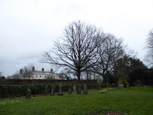
Padworth Common is a scenic area located in the county of Berkshire, England. Situated near the village of Padworth, the common spans over 300 acres of beautiful countryside. The site is a designated Local Nature Reserve and boasts a diverse range of habitats, making it a haven for wildlife and a popular destination for nature enthusiasts.
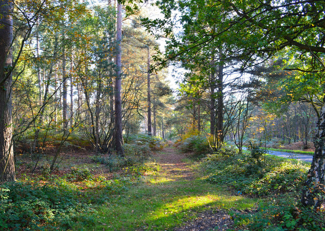
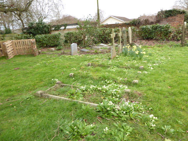
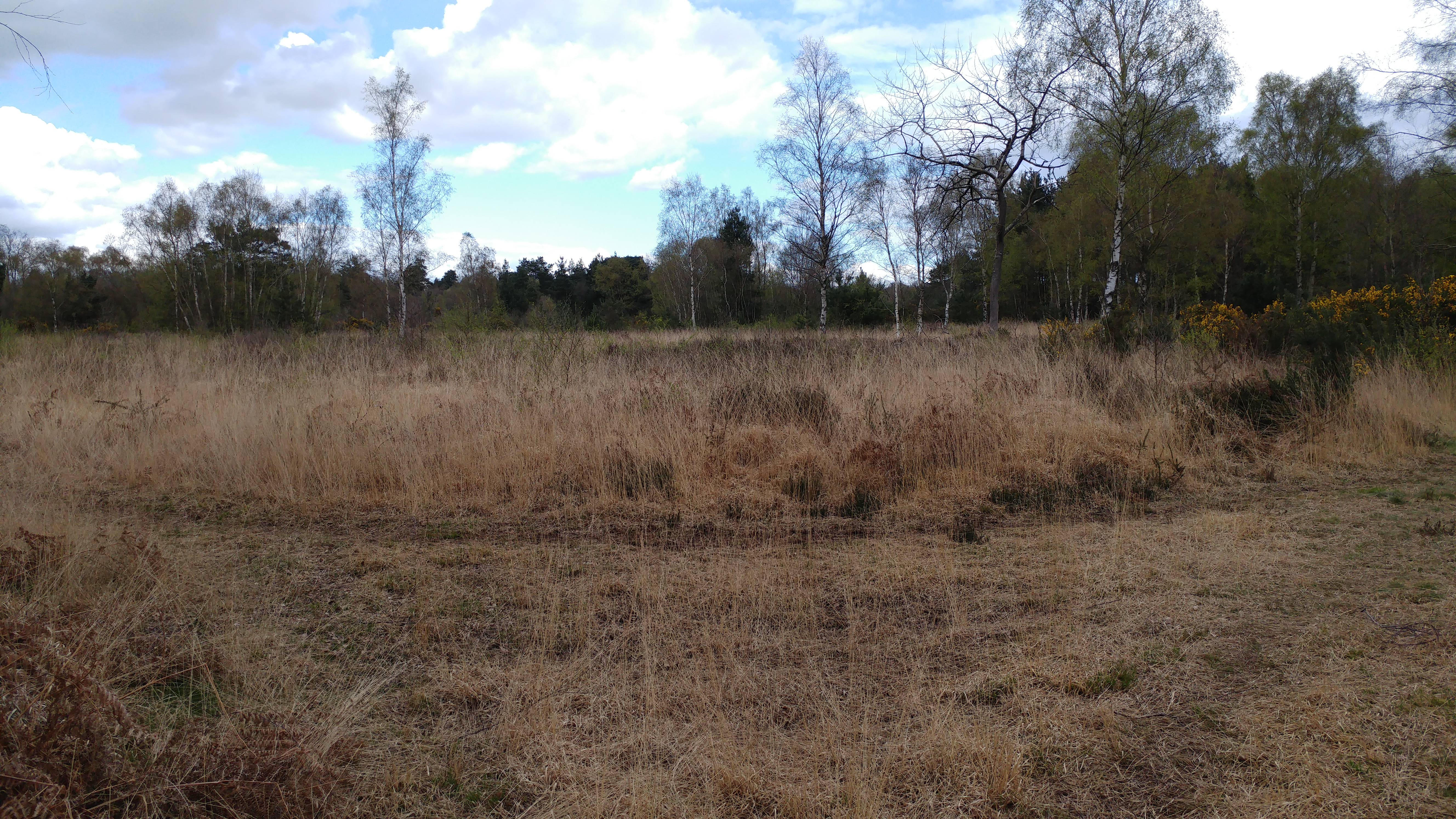
The common is primarily characterized by its mixture of woodlands, heathland, and open grassland. These different habitats support a rich variety of flora and fauna, including rare and protected species. It is home to a number of native trees such as oak, birch, and hawthorn, as well as a wide range of wildflowers and grasses.
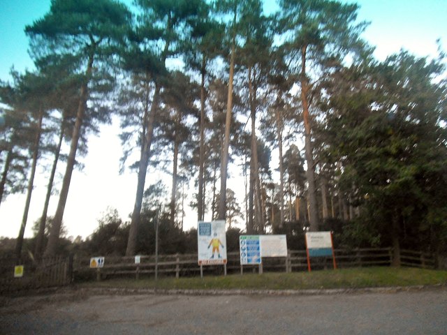
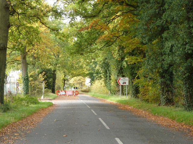
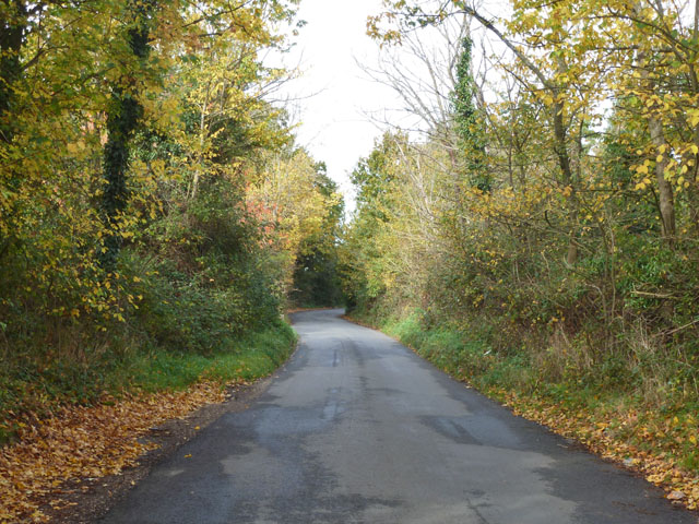
Several well-maintained footpaths and trails crisscross the common, allowing visitors to explore its natural beauty at their own pace. The pathways wind through the woodlands, offering glimpses of vibrant wildflowers and the possibility of spotting woodland creatures such as deer, squirrels, and various bird species.
Padworth Common also features a small pond, providing a habitat for amphibians and insects. Birdwatchers can often spot waterfowl and other bird species near the water's edge. The common is also a popular spot for picnics, as it offers several picturesque spots with benches and picnic tables.
With its tranquil atmosphere and stunning natural surroundings, Padworth Common is a cherished gem in the Berkshire countryside. Whether visitors are seeking a peaceful walk, wildlife spotting, or simply a place to connect with nature, Padworth Common offers an ideal setting to unwind and appreciate the beauty of the outdoors.
If you have any feedback on the listing, please let us know in the comments section below.
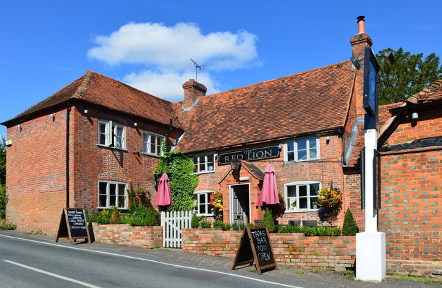
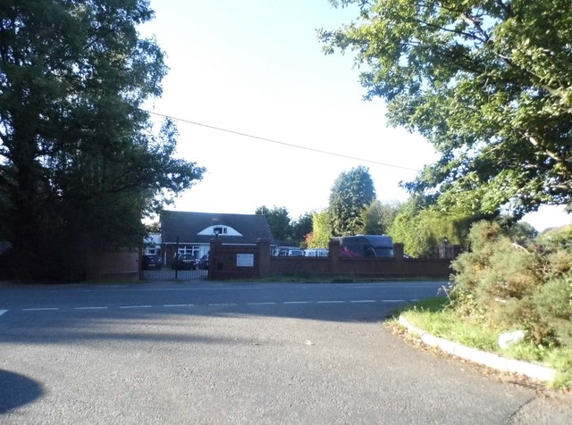
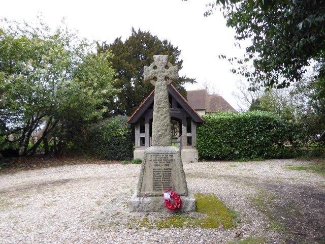
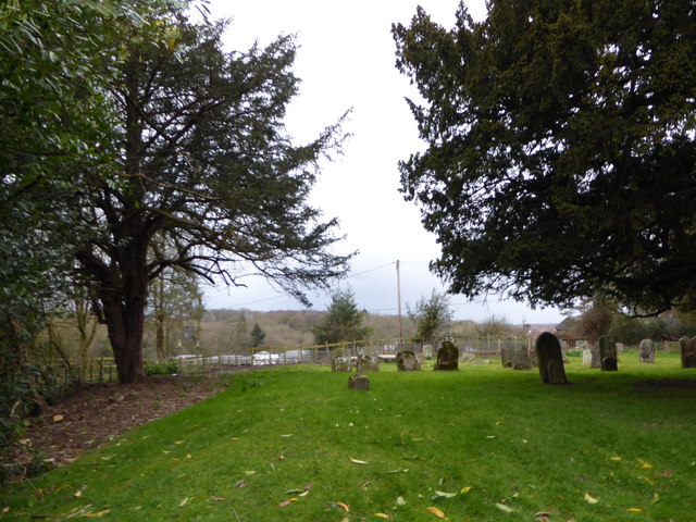
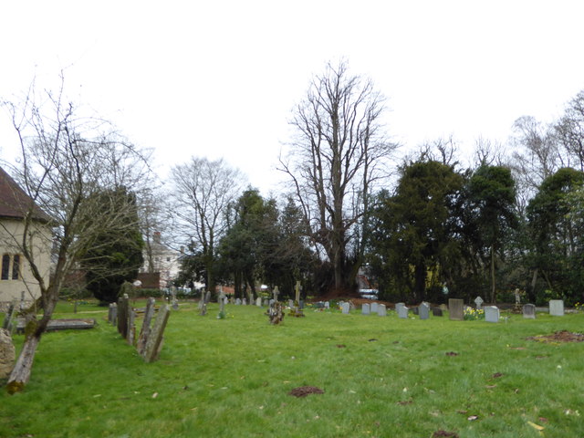
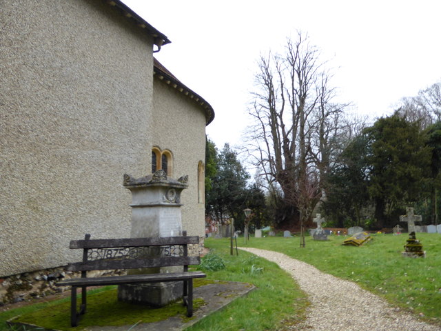
Padworth Common Images
Images are sourced within 2km of 51.377911/-1.109139 or Grid Reference SU6264. Thanks to Geograph Open Source API. All images are credited.
Padworth Common is located at Grid Ref: SU6264 (Lat: 51.377911, Lng: -1.109139)
Unitary Authority: West Berkshire
Police Authority: Thames Valley
What 3 Words
///diner.rigid.lousy. Near Tadley, Hampshire
Nearby Locations
Related Wikis
Padworth Common Local Nature Reserve
Padworth Common Local Nature Reserve is a 28-hectare (69-acre) Local Nature Reserve on the edge of the hamlet of Padworth Common, between Reading and...
Padworth Common
Padworth Common is a hamlet and common in the English county of Berkshire, within the civil parish of Padworth. It is bounded by Burghfield to the east...

Mortimer West End
Mortimer West End is a village and civil parish in north Hampshire in England. It lies in the northernmost point of the county. == History == At one time...

Aldermaston Soke
Aldermaston Soke is a hamlet that lies on the county boundary between Berkshire and Hampshire, and is administratively part of the civil parish of Mortimer...

The Frith
The Frith is a small univallate Iron Age hillfort to the north of Silchester, Calleva Atrebatum, Roman town in the English county of Hampshire. A single...

Padworth
Padworth is a dispersed settlement and civil parish in the English county of Berkshire, with the nearest town being Tadley. Padworth is in the unitary...
Padworth College
Padworth College is a co-educational private senior school in Padworth, Berkshire. == External links == Official website Berkshire History: Padworth House

Decoy Pit, Pools and Woods
Decoy Pit, Pools and Woods is a 17.7-hectare (44-acre) biological Site of Special Scientific Interest south of Aldermaston in Berkshire. An area of 8 hectares...
Nearby Amenities
Located within 500m of 51.377911,-1.109139Have you been to Padworth Common?
Leave your review of Padworth Common below (or comments, questions and feedback).