Billinghay

Settlement in Lincolnshire North Kesteven

England

Billinghay

Drain near White House Farm
Drain near White House Farm Credit: JThomas

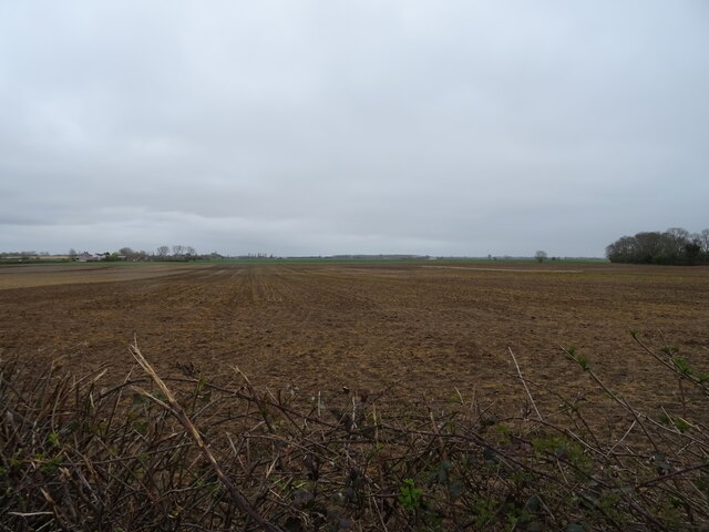
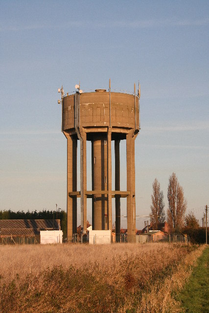
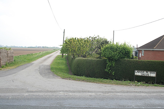
Billinghay is a small village located in the North Kesteven district of Lincolnshire, England. Situated approximately 16 miles east of the city of Lincoln, Billinghay is surrounded by picturesque countryside and offers a peaceful and rural environment.

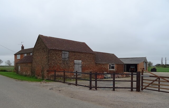
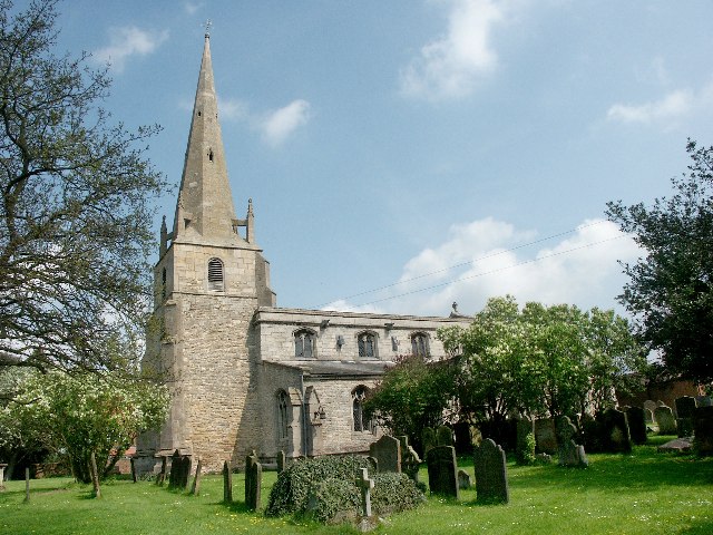
The village is known for its rich history, with evidence of human settlement dating back to the Roman era. Today, Billinghay retains its traditional charm, with many historic buildings and landmarks scattered throughout the area. The impressive St. Michael's Church, built in the 13th century, is a prominent feature and offers visitors a glimpse into the village's past.

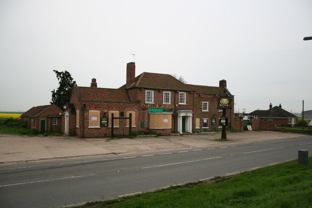
Despite its small size, Billinghay offers a range of amenities to its residents. The village has a primary school, a post office, a convenience store, and a few local businesses. There are also several pubs and restaurants where locals and visitors can enjoy a meal or a drink.

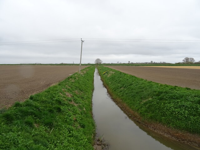
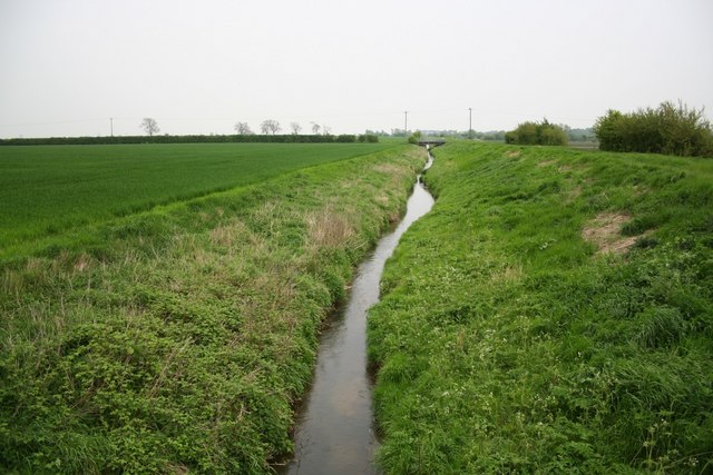
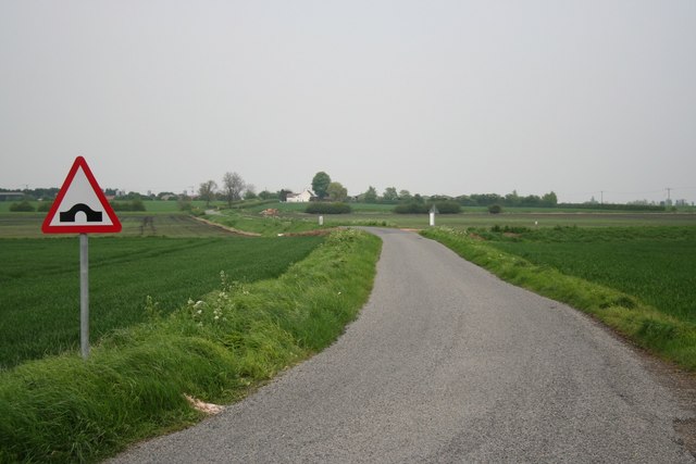
The surrounding countryside provides ample opportunities for outdoor activities, such as hiking, cycling, and fishing. The nearby River Witham offers picturesque walks and is a popular spot for anglers. Additionally, Billinghay is close to several nature reserves and country parks, providing further opportunities for nature enthusiasts to explore the area's flora and fauna.

Overall, Billinghay is a charming and historic village that offers a peaceful and idyllic setting for its residents and visitors alike.

If you have any feedback on the listing, please let us know in the comments section below.
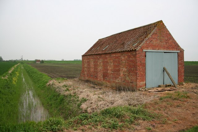
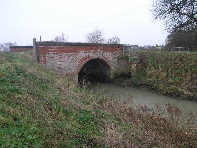
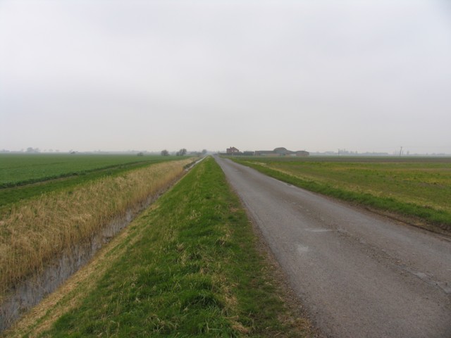
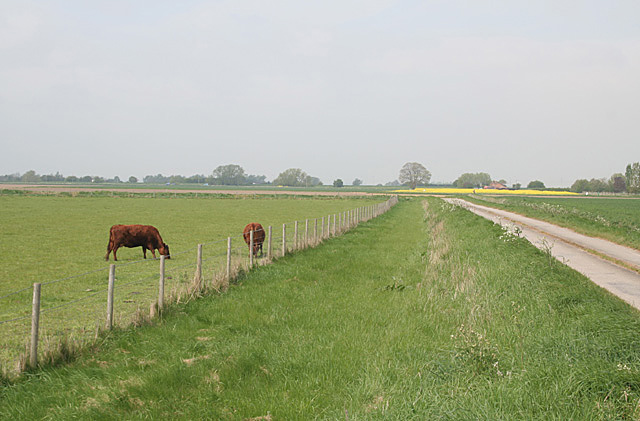
Billinghay Images

Images are sourced within 2km of 53.079517/-0.277278 or Grid Reference TF1554. Thanks to Geograph Open Source API. All images are credited.

Drain near White House Farm
Bridge Farm near North Kyme
Flat field off Main Street
Billinghay Water Tower At about 12m above sea level - the highest point in Billinghay
Billinghay Water Tower
At about 12m above sea level - the highest point in Billinghay
Coach and Horses Public House Coach and Horses Public House, Billinghay Lincolnshire
Coach and Horses Public House
Coach and Horses Public House, Billinghay Lincolnshire
St Michael & All Angels, Billinghay This delightful village church dates back to the 13th Century.
St Michael & All Angels, Billinghay
This delightful village church dates back to the 13th Century.
The Coach & Horses Historic inn, now closed and awaiting a buyer
The Coach & Horses
Historic inn, now closed and awaiting a buyer
New Cut Drain Looking south east towards the causeway
New Cut Drain
Looking south east towards the causeway
From Digby Fen Looking towards Grange farm and the village of Billinghay beyond from Digby Fen
From Digby Fen
Looking towards Grange farm and the village of Billinghay beyond from Digby Fen
On Digby Fen Looking towards the pumping station and Digby Dam
On Digby Fen
Looking towards the pumping station and Digby Dam
Old Road and Post Box The piece of road in the foreground was the former line of the A153 before it was straightened out.
Old Road and Post Box
The piece of road in the foreground was the former line of the A153 before it was straightened out.
Bridge Over The Skirth This bridge carries a road over Billinghay Skirth.
Bridge Over The Skirth
This bridge carries a road over Billinghay Skirth.
Kyme View
Kyme View
Tree Surgeon
Tree Surgeon
Twelve Foot Bank Twelve Foot Drain adjacent to Twelve Foot Bank
Twelve Foot Bank
Twelve Foot Drain adjacent to Twelve Foot Bank
The Skirth at Billinghay A pair of rather decrepit steam rollers stand in the house yard opposite.
The Skirth at Billinghay
A pair of rather decrepit steam rollers stand in the house yard opposite.
Labour in Vain Drove and paddock, Billinghay There is no obvious indication on the ground of how this fenland road got its name!
Labour in Vain Drove and paddock, Billinghay
There is no obvious indication on the ground of how this fenland road got its name!
Labour in Vain Drove, Billinghay There is no obvious indication of how this fenland road got its name!
Labour in Vain Drove, Billinghay
There is no obvious indication of how this fenland road got its name!
Show me another place!

Billinghay is located at Grid Ref: TF1554 (Lat: 53.079517, Lng: -0.277278)

Division: Parts of Kesteven

Administrative County: Lincolnshire

District: North Kesteven

Police Authority: Lincolnshire

What 3 Words

///reviewed.scenes.convinces. Near Billinghay, Lincolnshire

Related Wikis

Billinghay

Billinghay is a village and civil parish in the North Kesteven district of Lincolnshire, England. The village is situated approximately 7 miles (11 km...

North Kyme

North Kyme is a village and civil parish in the North Kesteven district of Lincolnshire, England. The civil parish had a population of 431 at the 2011...

Walcott, Lincolnshire

Walcott is a small village and civil parish in the North Kesteven district of Lincolnshire, England. The population of the civil parish at the 2011 census...

Catley Priory

Catley Priory was a monastic house in Walcott, Lincolnshire, England. The Gilbertine priory of Saint Mary, Catley, was founded as a double house for...

Nearby Amenities

Located within 500m of 53.079517,-0.277278
Source: OS_OpenData _StreetView
Lat/Long: 53.0762212/-0.2769864
Source: OS_OpenData _StreetView
Lat/Long: 53.0755475/-0.2777066
Billinghay
Is In: Lincolnshire, England, UK
Place: village
Source: Bing
Wikidata: Q628445
Wikipedia: en:Billinghay
Lat/Long: 53.0800793/-0.2801584
Source: OS_OpenData _StreetView
Lat/Long: 53.0822427/-0.2803562
Source: OS_OpenData _StreetView
Lat/Long: 53.0810714/-0.2813684
Source: OS_OpenData _StreetView
Lat/Long: 53.079745/-0.2825406
Source: OS_OpenData _StreetView
Lat/Long: 53.0791179/-0.273315
Source: OS_OpenData _StreetView
Lat/Long: 53.0808886/-0.2714709
Source: OS_OpenData _StreetView
Lat/Long: 53.0814234/-0.2810547
Source: OS_OpenData _StreetView
Lat/Long: 53.0807349/-0.2796901
Source: OS_OpenData _StreetView
Lat/Long: 53.080212/-0.2798698
Source: OS_OpenData _StreetView
Lat/Long: 53.0796758/-0.2778284
Source: OS_OpenData _StreetView
Lat/Long: 53.0793769/-0.2747546
Ship Inn
Naptan AtcoCode: 270000008398
Naptan Bearing: E
Naptan BusStopType: CUS
Naptan CommonName: Ship Inn
Naptan Indicator: adj
Naptan Landmark: Ship Inn
Naptan NaptanCode: lingpwaw
Naptan Street: High Street
Naptan Verified: no
Source: naptan_import
Lat/Long: 53.0785568/-0.2761714
Bus Stop
Park Lane
Bench: no
Bin: no
Lit: no
Naptan AtcoCode: 270000008399
Naptan Bearing: W
Naptan CommonName: Park Lane
Naptan Indicator: adj
Naptan Landmark: Park Lane
Naptan NaptanCode: lingpwda
Naptan Street: Walcott Road
Naptan Verified: no
Shelter: yes
Source: naptan_import
Tactile Paving: no
Lat/Long: 53.0799575/-0.283506
Park Lane
Naptan AtcoCode: 270000008400
Naptan Bearing: E
Naptan BusStopType: CUS
Naptan CommonName: Park Lane
Naptan Indicator: opp
Naptan Landmark: Park Lane
Naptan NaptanCode: lingpwdg
Naptan Street: Walcott Road
Naptan Verified: no
Source: naptan_import
Lat/Long: 53.0800469/-0.2834725
CE Primary School
Naptan AtcoCode: 2700LBCP5388
Naptan Bearing: N
Naptan BusStopType: CUS
Naptan CommonName: CE Primary School
Naptan Landmark: CE Primary School
Naptan NaptanCode: lindtjpw
Naptan Street: Fen Road
Naptan Verified: no
Source: naptan_import
Lat/Long: 53.0830527/-0.2811879
The Lafford School
Naptan AtcoCode: 2700LBLS2671
Naptan Bearing: E
Naptan BusStopType: CUS
Naptan CommonName: The Lafford School
Naptan Landmark: The Lafford School
Naptan NaptanCode: linatjpg
Naptan Street: Fen Road
Naptan Verified: no
Source: naptan_import
Lat/Long: 53.0819368/-0.2811129
Bus Stop
Ship Inn
Naptan AtcoCode: 2700LBSI2583
Naptan Bearing: W
Naptan CommonName: Ship Inn
Naptan Indicator: opp
Naptan Landmark: Ship Inn
Naptan NaptanCode: linatgmd
Naptan Street: High Street
Naptan Verified: no
Source: naptan_import
Lat/Long: 53.0784634/-0.2765484
Turning Circle
Lat/Long: 53.0786935/-0.2814812
Turning Circle
Lat/Long: 53.0764529/-0.279902
Bridge Dale Farm
Place: farm
Source: Bing
Lat/Long: 53.0766181/-0.2753742
Pub
Coach & Horses
Source: Bing
Lat/Long: 53.077966/-0.2737896
Pub
The Ship Inn
Source: Bing
Lat/Long: 53.0786209/-0.276596
Manor Farm
Place: farm
Source: Bing
Lat/Long: 53.0805479/-0.2765164
Fuel
Lat/Long: 53.0785275/-0.2777635
Stop
Lat/Long: 53.0785411/-0.2764526
Stop
Direction: backward
Lat/Long: 53.0788069/-0.2797088
Generator Method: photovoltaic
Generator Output Electricity: yes
Generator Source: solar
Generator Type: solar_photovoltaic_panel
Location: roof
Power: generator
Lat/Long: 53.0814493/-0.271343
Generator Method: photovoltaic
Generator Output Electricity: yes
Generator Source: solar
Generator Type: solar_photovoltaic_panel
Location: roof
Power: generator
Lat/Long: 53.0804326/-0.2717534
Generator Method: photovoltaic
Generator Output Electricity: yes
Generator Source: solar
Generator Type: solar_photovoltaic_panel
Location: roof
Power: generator
Lat/Long: 53.0782655/-0.2770212
Generator Method: photovoltaic
Generator Output Electricity: yes
Generator Source: solar
Generator Type: solar_photovoltaic_panel
Location: roof
Power: generator
Lat/Long: 53.0787457/-0.2758907
Generator Method: photovoltaic
Generator Output Electricity: yes
Generator Source: solar
Generator Type: solar_photovoltaic_panel
Location: roof
Power: generator
Lat/Long: 53.0786152/-0.275538
Generator Method: photovoltaic
Generator Output Electricity: yes
Generator Source: solar
Generator Type: solar_photovoltaic_panel
Location: roof
Power: generator
Lat/Long: 53.0787989/-0.2762286
Generator Method: photovoltaic
Generator Output Electricity: yes
Generator Source: solar
Generator Type: solar_photovoltaic_panel
Location: roof
Power: generator
Lat/Long: 53.0787924/-0.2761415
Generator Method: photovoltaic
Generator Output Electricity: yes
Generator Source: solar
Generator Type: solar_photovoltaic_panel
Location: roof
Power: generator
Lat/Long: 53.078757/-0.2758142
Generator Method: photovoltaic
Generator Output Electricity: yes
Generator Source: solar
Generator Type: solar_photovoltaic_panel
Location: roof
Power: generator
Lat/Long: 53.079416/-0.2745214
Generator Method: photovoltaic
Generator Output Electricity: yes
Generator Source: solar
Generator Type: solar_photovoltaic_panel
Location: roof
Power: generator
Lat/Long: 53.0772649/-0.2796927
Generator Method: photovoltaic
Generator Output Electricity: yes
Generator Source: solar
Generator Type: solar_photovoltaic_panel
Location: roof
Power: generator
Lat/Long: 53.0772118/-0.2796203
Generator Method: photovoltaic
Generator Output Electricity: yes
Generator Source: solar
Generator Type: solar_photovoltaic_panel
Location: roof
Power: generator
Lat/Long: 53.0796077/-0.278078
Generator Method: photovoltaic
Generator Output Electricity: yes
Generator Source: solar
Generator Type: solar_photovoltaic_panel
Location: roof
Power: generator
Lat/Long: 53.0816692/-0.2792515
Generator Method: photovoltaic
Generator Output Electricity: yes
Generator Source: solar
Generator Type: solar_photovoltaic_panel
Location: roof
Power: generator
Lat/Long: 53.0816918/-0.2791965
Generator Method: photovoltaic
Generator Output Electricity: yes
Generator Source: solar
Generator Type: solar_photovoltaic_panel
Location: roof
Power: generator
Lat/Long: 53.0825473/-0.2793427
Generator Method: photovoltaic
Generator Output Electricity: yes
Generator Source: solar
Generator Type: solar_photovoltaic_panel
Location: roof
Power: generator
Lat/Long: 53.0792742/-0.2796122
Generator Method: photovoltaic
Generator Output Electricity: yes
Generator Source: solar
Generator Type: solar_photovoltaic_panel
Location: roof
Power: generator
Lat/Long: 53.077642/-0.2794755
Generator Method: photovoltaic
Generator Output Electricity: yes
Generator Source: solar
Generator Type: solar_photovoltaic_panel
Location: roof
Power: generator
Lat/Long: 53.0766333/-0.2807602
Generator Method: photovoltaic
Generator Output Electricity: yes
Generator Source: solar
Generator Type: solar_photovoltaic_panel
Location: roof
Power: generator
Lat/Long: 53.0767388/-0.2812591
Generator Method: photovoltaic
Generator Output Electricity: yes
Generator Source: solar
Generator Type: solar_photovoltaic_panel
Location: roof
Power: generator
Lat/Long: 53.0773705/-0.2810164
Generator Method: photovoltaic
Generator Output Electricity: yes
Generator Source: solar
Generator Type: solar_photovoltaic_panel
Location: roof
Power: generator
Lat/Long: 53.0774921/-0.2809601
Generator Method: photovoltaic
Generator Output Electricity: yes
Generator Source: solar
Generator Type: solar_photovoltaic_panel
Location: roof
Power: generator
Lat/Long: 53.0787884/-0.2814388
Generator Method: photovoltaic
Generator Output Electricity: yes
Generator Source: solar
Generator Type: solar_photovoltaic_panel
Location: roof
Power: generator
Lat/Long: 53.079797/-0.2823132
Generator Method: photovoltaic
Generator Output Electricity: yes
Generator Source: solar
Generator Type: solar_photovoltaic_panel
Location: roof
Power: generator
Lat/Long: 53.0798864/-0.2822274
Generator Method: photovoltaic
Generator Output Electricity: yes
Generator Source: solar
Generator Type: solar_photovoltaic_panel
Location: roof
Power: generator
Lat/Long: 53.0805519/-0.2831769
Generator Method: photovoltaic
Generator Output Electricity: yes
Generator Source: solar
Generator Type: solar_photovoltaic_panel
Location: roof
Power: generator
Lat/Long: 53.0808902/-0.2839668
Generator Method: photovoltaic
Generator Output Electricity: yes
Generator Source: solar
Generator Type: solar_photovoltaic_panel
Location: roof
Power: generator
Lat/Long: 53.080891/-0.2840325
Generator Method: photovoltaic
Generator Output Electricity: yes
Generator Source: solar
Generator Type: solar_photovoltaic_panel
Location: roof
Power: generator
Lat/Long: 53.080833/-0.2843343
Turning Circle
Lat/Long: 53.079804/-0.2802012
Barrier: bollard
Lat/Long: 53.0780618/-0.2791169
Bench
Colour: black
Material: metal
Seats: 8
Lat/Long: 53.079329/-0.2760074
Waste Basket
Lat/Long: 53.0794799/-0.2759039
Waste Basket
Lat/Long: 53.0792959/-0.2759483
Historic: memorial
Memorial: war_memorial
Lat/Long: 53.0793153/-0.2761938
Bicycle Parking
Access: yes
Bicycle Parking: stands
Capacity: 4
Fee: no
Lat/Long: 53.0794498/-0.2759376
Entrance: yes
Lat/Long: 53.0775531/-0.2822899
The data included in this document is from www.openstreetmap.org. The data is made available under ODbL.

Have you been to Billinghay?

Leave your review of Billinghay below (or comments, questions and feedback).