North Kyme Common

Downs, Moorland in Lincolnshire North Kesteven

England

North Kyme Common

The Plough Stripped down to the brick since last Geographed: <a href="https://www.geograph.org.uk/photo/4353407">TF1552 : The Plough, North Kyme</a>.
The Plough Credit: David Lally

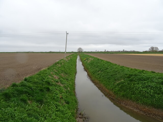
North Kyme Common is a picturesque area located in the county of Lincolnshire, in the East Midlands region of England. Situated on the outskirts of the village of North Kyme, the common covers an area of approximately 500 acres. It is a diverse landscape consisting of downs and moorland, offering a unique and captivating natural experience.

The downs of North Kyme Common are characterized by their rolling hills and wide open spaces. Covered in lush grasses and dotted with wildflowers, these downs provide a beautiful setting for walking, picnicking, and enjoying the stunning views of the surrounding countryside. The area is home to a variety of bird species, making it a popular spot for birdwatchers.

In contrast, the moorland of North Kyme Common offers a more rugged and untamed landscape. Here, visitors can explore heathland and wetland areas, complete with patches of gorse and heather. The moorland is crisscrossed by walking trails, allowing visitors to discover the unique flora and fauna that thrive in this wilder habitat.

North Kyme Common is managed by a local conservation group, ensuring the preservation of its natural beauty and wildlife. The area is also protected as a Site of Special Scientific Interest (SSSI), highlighting its ecological importance.

Visitors to North Kyme Common can expect a tranquil and peaceful environment, perfect for those seeking a break from the hustle and bustle of everyday life. Whether it's admiring the panoramic views, spotting rare bird species, or simply enjoying a leisurely stroll through the downs or moorland, North Kyme Common offers a captivating and diverse natural experience for all.

If you have any feedback on the listing, please let us know in the comments section below.

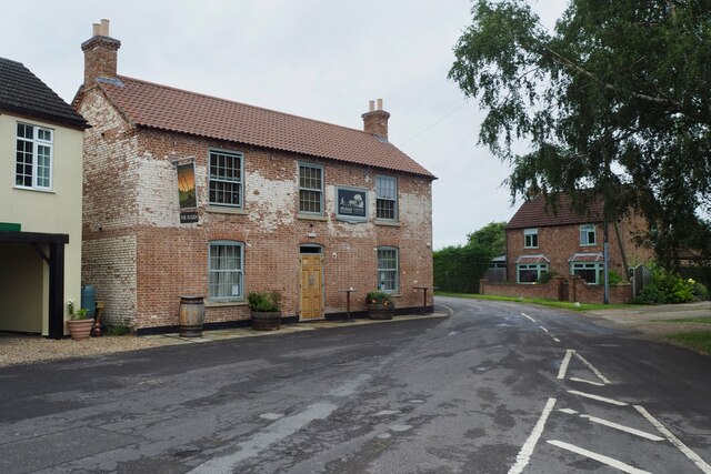
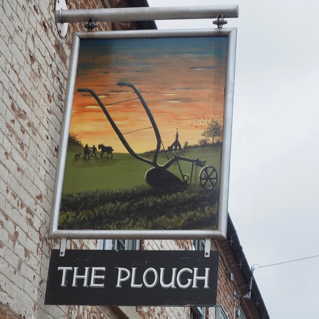
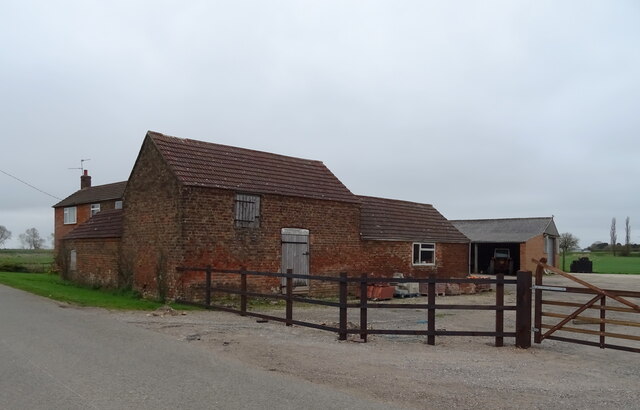
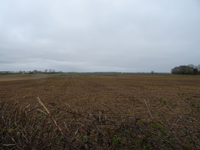
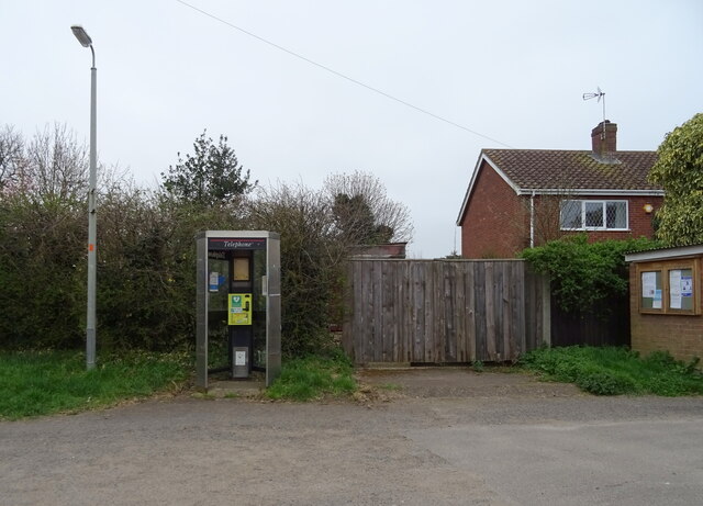
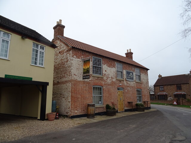
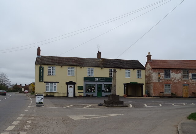
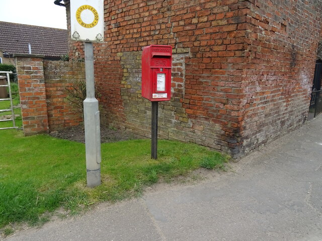
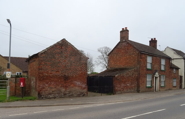
North Kyme Common Images

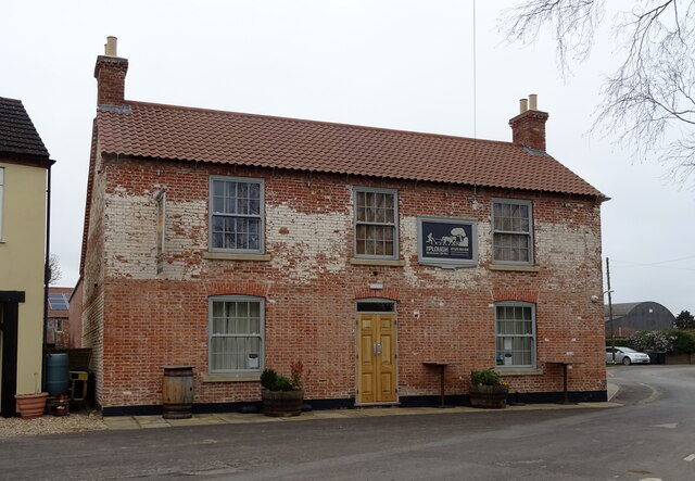
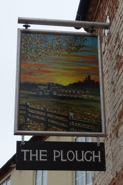
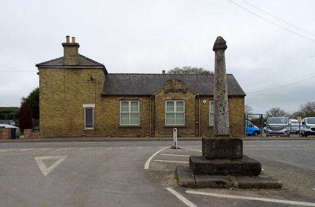
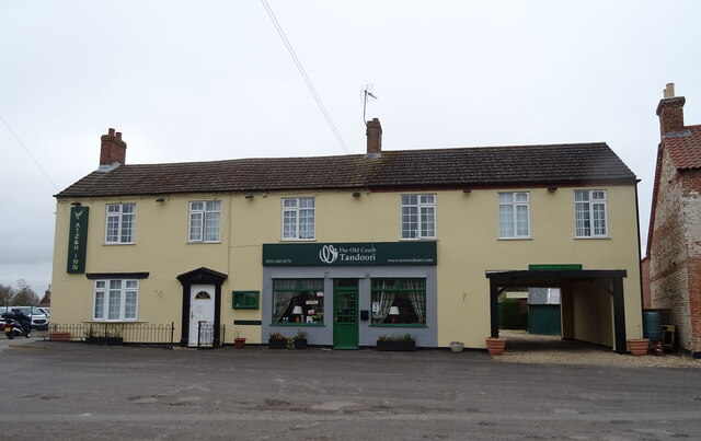
Images are sourced within 2km of 53.073232/-0.27831785 or Grid Reference TF1554. Thanks to Geograph Open Source API. All images are credited.

The Plough Stripped down to the brick since last Geographed: <a href="https://www.geograph.org.uk/photo/4353407">TF1552 : The Plough, North Kyme</a>.
The Plough
Stripped down to the brick since last Geographed: TF1552 : The Plough, North Kyme.
The sign of The Plough See: <a href="https://www.geograph.org.uk/photo/6935405">TF1552 : The Plough</a>
The sign of The Plough
Missing defibrillator A repurposed BT telephone booth is no longer fit for purpose.
Missing defibrillator
A repurposed BT telephone booth is no longer fit for purpose.
Drain near White House Farm
Bridge Farm near North Kyme
Flat field off Main Street
Defibrillator in telephone kiosk on Main Street, North Kyme
The Plough, North Kyme
The Plough, North Kyme In 2014 - <a href="https://www.geograph.org.uk/photo/4353407">TF1552 : The Plough, North Kyme</a>
The Plough, North Kyme
Sign for the Plough, North Kyme
Village cross, North Kyme
ATZ & H Inn, North Kyme Formerly the Old Coach House Motel - <a href="https://www.geograph.org.uk/photo/4353402">TF1552 : Old Coach House Motel, North Kyme</a> and further back in time George Wilson's General Store <a href="https://www.geograph.org.uk/photo/542428">TF1552 : George Wilson's General Store</a>
ATZ & H Inn, North Kyme
Formerly the Old Coach House Motel - TF1552 : Old Coach House Motel, North Kyme and further back in time George Wilson's General Store TF1552 : George Wilson's General Store
Village cross and ATZ & H Inn, North Kyme The Plough public house to the right.
Village cross and ATZ & H Inn, North Kyme
The Plough public house to the right.
Elizabeth II postbox on Main Street (A157), North Kyme Postbox No. LN4 233.

See <a href="https://www.geograph.org.uk/photo/7004398">TF1552 : Close up, Elizabeth II postbox on Main Street (A157), North Kyme</a> for close up
See <a href="https://www.geograph.org.uk/photo/7004403">TF1552 : House on Main Street (A157), North Kyme</a> for context.
Elizabeth II postbox on Main Street (A157), North Kyme
Close up, Elizabeth II postbox on Main Street (A157), North Kyme Postbox No. LN4 233.

See <a href="https://www.geograph.org.uk/photo/7004394">TF1552 : Elizabeth II postbox on Main Street (A157), North Kyme</a> for postbox.
Close up, Elizabeth II postbox on Main Street (A157), North Kyme
House on Main Street (A157), North Kyme Showing position of Postbox No. LN4 233.

See <a href="https://www.geograph.org.uk/photo/7004394">TF1552 : Elizabeth II postbox on Main Street (A157), North Kyme</a> for postbox.
House on Main Street (A157), North Kyme
Showing position of Postbox No. LN4 233. See TF1552 : Elizabeth II postbox on Main Street (A157), North Kyme for postbox.
Billinghay Water Tower At about 12m above sea level - the highest point in Billinghay
Billinghay Water Tower
At about 12m above sea level - the highest point in Billinghay
Coach and Horses Public House Coach and Horses Public House, Billinghay Lincolnshire
Coach and Horses Public House
Coach and Horses Public House, Billinghay Lincolnshire
Show me another place!

North Kyme Common is located at Grid Ref: TF1554 (Lat: 53.073232, Lng: -0.27831785)

Administrative County: Lincolnshire

District: North Kesteven

Police Authority: Lincolnshire

What 3 Words

///whites.hospitals.survey. Near Billinghay, Lincolnshire

Related Wikis

Billinghay

Billinghay is a village and civil parish in the North Kesteven district of Lincolnshire, England. The village is situated approximately 7 miles (11 km...

North Kyme

North Kyme is a village and civil parish in the North Kesteven district of Lincolnshire, England. The civil parish had a population of 431 at the 2011...

Walcott, Lincolnshire

Walcott is a small village and civil parish in the North Kesteven district of Lincolnshire, England. The population of the civil parish at the 2011 census...

Catley Priory

Catley Priory was a monastic house in Walcott, Lincolnshire, England. The Gilbertine priory of Saint Mary, Catley, was founded as a double house for...

Nearby Amenities

Located within 500m of 53.073232,-0.27831785
Source: OS_OpenData _StreetView
Lat/Long: 53.0696507/-0.2822547
Source: OS_OpenData _StreetView
Lat/Long: 53.0762212/-0.2769864
Source: OS_OpenData _StreetView
Lat/Long: 53.0755475/-0.2777066
Source: OS_OpenData _StreetView
Lat/Long: 53.07407/-0.2781827
Source: OS_OpenData _StreetView
Lat/Long: 53.0732324/-0.278437
Source: OS_OpenData _StreetView
Lat/Long: 53.0722663/-0.2790845
Source: OS_OpenData _StreetView
Lat/Long: 53.0709507/-0.2808676
Source: OS_OpenData _StreetView
Lat/Long: 53.0725454/-0.2788573
Power: pole
Lat/Long: 53.0710948/-0.2803861
Power: pole
Lat/Long: 53.0710206/-0.2809346
Power: pole
Lat/Long: 53.0711987/-0.2832802
Power: pole
Lat/Long: 53.0713824/-0.2783248
Power: pole
Lat/Long: 53.0709102/-0.281754
Power: pole
Lat/Long: 53.071657/-0.2763392
Power: pole
Lat/Long: 53.0730383/-0.2719733
Power: pole
Lat/Long: 53.0710134/-0.2739836
Power: pole
Lat/Long: 53.0708982/-0.2728088
Power: pole
Lat/Long: 53.0720013/-0.2752442
Power: pole
Lat/Long: 53.0713543/-0.2752389
Power: pole
Lat/Long: 53.0714864/-0.2848318
Power: pole
Lat/Long: 53.0725716/-0.2734826
Turning Circle
Lat/Long: 53.0764529/-0.279902
Bridge Dale Farm
Place: farm
Source: Bing
Lat/Long: 53.0766181/-0.2753742
Ring Moor
Place: locality
Source: Bing
Lat/Long: 53.0738993/-0.2846462
Bleak House
Place: isolated_dwelling
Source: Bing
Lat/Long: 53.0696279/-0.2815222
Generator Method: photovoltaic
Generator Output Electricity: yes
Generator Source: solar
Generator Type: solar_photovoltaic_panel
Location: roof
Power: generator
Lat/Long: 53.0772649/-0.2796927
Generator Method: photovoltaic
Generator Output Electricity: yes
Generator Source: solar
Generator Type: solar_photovoltaic_panel
Location: roof
Power: generator
Lat/Long: 53.0772118/-0.2796203
Generator Method: photovoltaic
Generator Output Electricity: yes
Generator Source: solar
Generator Type: solar_photovoltaic_panel
Location: roof
Power: generator
Lat/Long: 53.077642/-0.2794755
Generator Method: photovoltaic
Generator Output Electricity: yes
Generator Source: solar
Generator Type: solar_photovoltaic_panel
Location: roof
Power: generator
Lat/Long: 53.0766333/-0.2807602
Generator Method: photovoltaic
Generator Output Electricity: yes
Generator Source: solar
Generator Type: solar_photovoltaic_panel
Location: roof
Power: generator
Lat/Long: 53.0767388/-0.2812591
Generator Method: photovoltaic
Generator Output Electricity: yes
Generator Source: solar
Generator Type: solar_photovoltaic_panel
Location: roof
Power: generator
Lat/Long: 53.0773705/-0.2810164
The data included in this document is from www.openstreetmap.org. The data is made available under ODbL.

Have you been to North Kyme Common?

Leave your review of North Kyme Common below (or comments, questions and feedback).