Oxley
Settlement in Staffordshire
England
Oxley
Oxley is a small village located in the county of Staffordshire, England. Situated in the South Staffordshire district, it is approximately 4 miles northwest of the city of Wolverhampton. With a population of around 5,000 residents, Oxley is a close-knit community that offers a peaceful and picturesque setting.
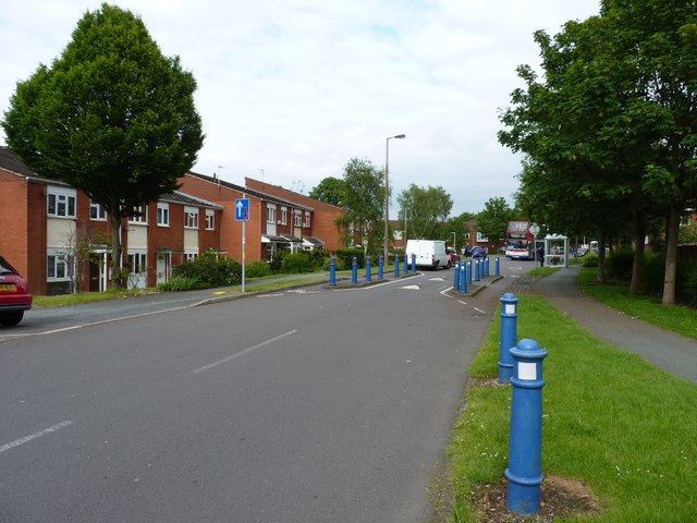
The village is known for its rural charm, surrounded by rolling hills and farmland. It is predominantly a residential area, with a mix of housing styles ranging from traditional cottages to modern developments. The village retains a sense of history, with some buildings dating back to the 18th century.
Oxley benefits from excellent transport links, making it an attractive location for commuters. The nearby M54 motorway provides easy access to the wider region, while Oxley railway station offers regular services to Wolverhampton and Birmingham.
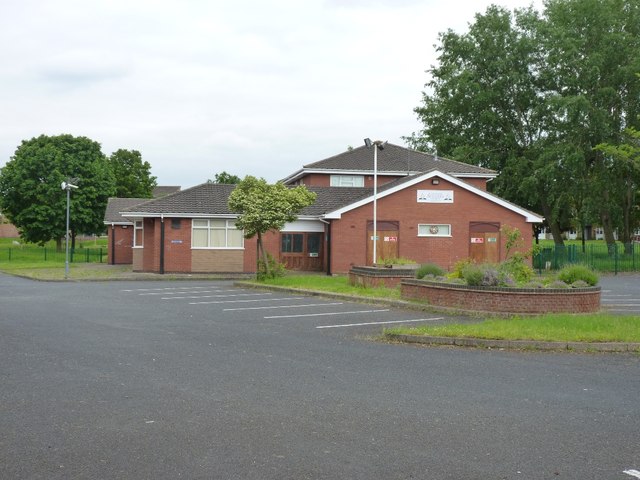
The village has a range of amenities to cater to the needs of its residents. Local shops, including a convenience store and a selection of independent retailers, provide everyday essentials. There are also several pubs, restaurants, and cafes where locals can socialize and enjoy a meal or a drink.
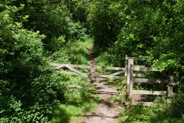
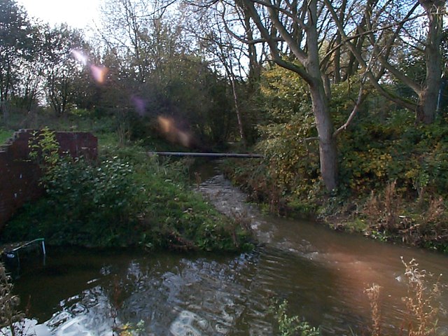
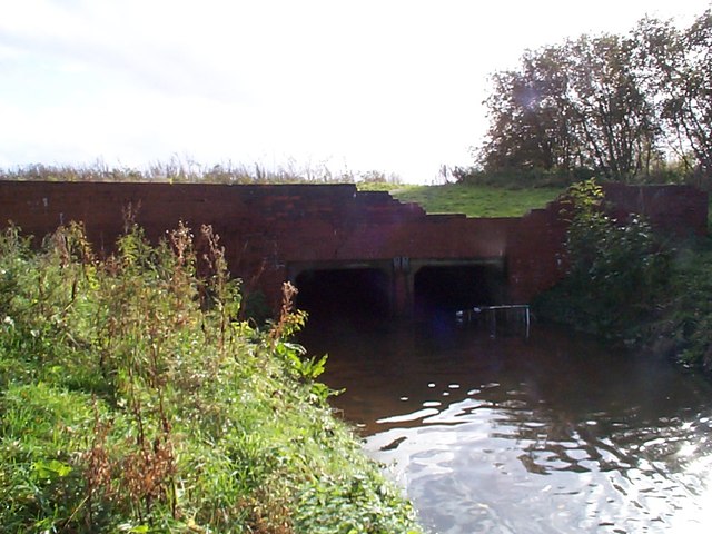
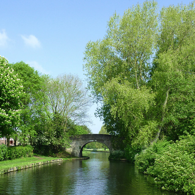
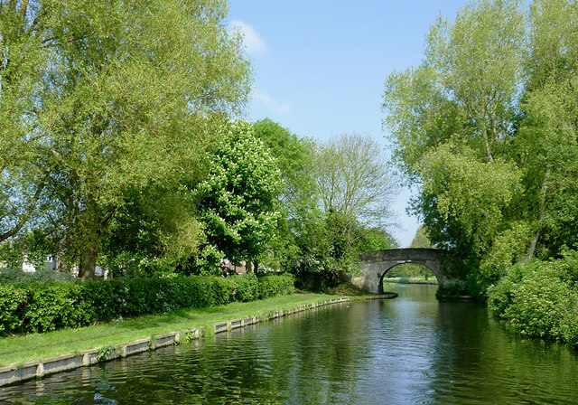
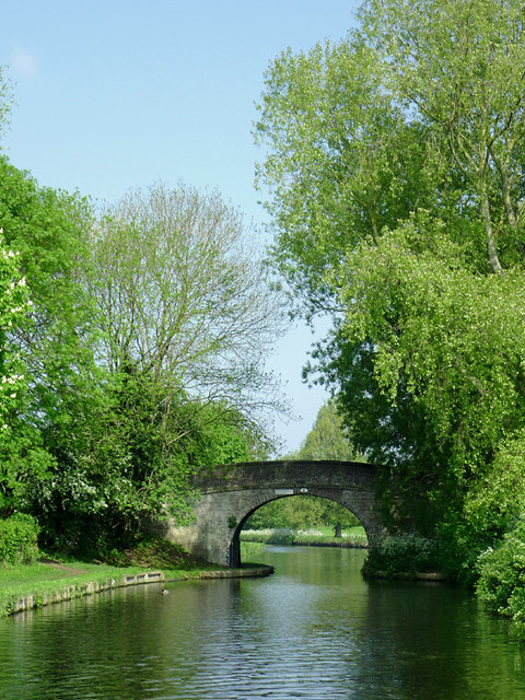
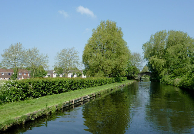
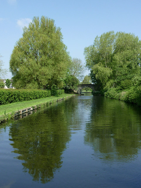
For outdoor enthusiasts, Oxley offers opportunities for walking and cycling in the surrounding countryside. The village is also within close proximity to the Wyrley and Essington Canal, providing scenic routes for boating and fishing.
Overall, Oxley is a charming village that offers a tranquil lifestyle, while still being conveniently located near larger urban centers. It is a community that values its heritage and natural surroundings, making it an appealing place to live or visit.
If you have any feedback on the listing, please let us know in the comments section below.
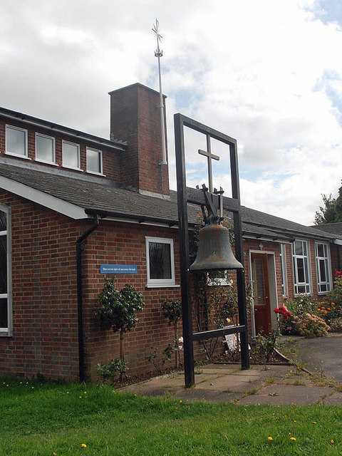
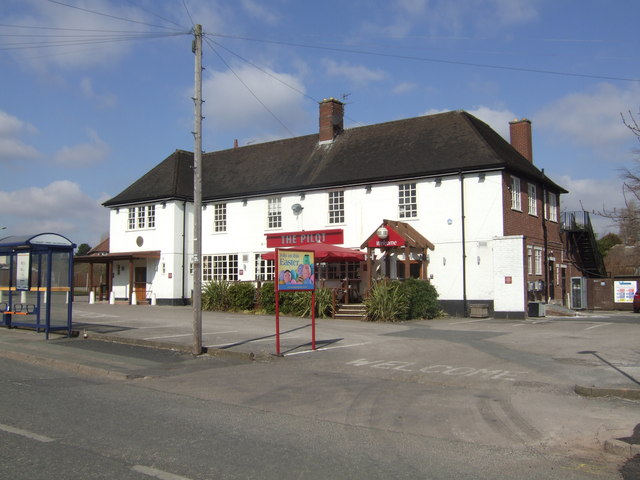
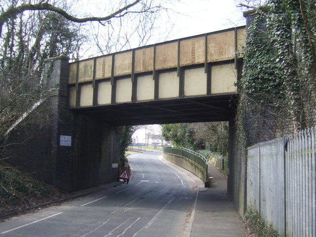
Oxley Images
Images are sourced within 2km of 52.615667/-2.136589 or Grid Reference SJ9002. Thanks to Geograph Open Source API. All images are credited.


Oxley is located at Grid Ref: SJ9002 (Lat: 52.615667, Lng: -2.136589)
Unitary Authority: Wolverhampton
Police Authority: West Midlands
What 3 Words
///grades.send.latter. Near Wolverhampton, West Midlands
Related Wikis

Oxley, Wolverhampton
Oxley is a suburb of Wolverhampton, West Midlands, and a ward of the City of Wolverhampton Council. Its area code is WV10. It is situated in the north...

Autherley Junction
Autherley Junction (grid reference SJ901020) is the name of the canal junction where the Shropshire Union Canal terminates and meets the Staffordshire...

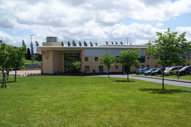
Ormiston NEW Academy
Ormiston NEW Academy (formerly North East Wolverhampton Academy) is a mixed secondary school and sixth form located in the Fordhouses area of Wolverhampton...

Goodyear chimney
The Goodyear chimney was a landmark on the Goodyear factory on Stafford Road, Wolverhampton, England. It was 200 feet (60 m) high and weighed 3,000 long...

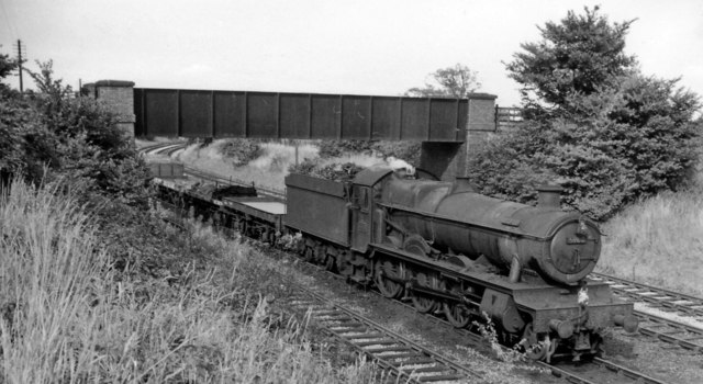
Oxley TRSMD
Oxley Traction and Rolling Stock Maintenance Depot is a railway depot located in Wolverhampton, West Midlands, operated by Alstom to maintain Avanti West...

Aldersley Junction
Aldersley Junction (grid reference SJ902011) is the name of the canal junction where the Birmingham Main Line Canal terminates and meets the Staffordshire...
Pendeford
Pendeford is a suburb of Wolverhampton, West Midlands, England. Historically part of Staffordshire, it is situated north-north-west of the city centre...
Bushbury railway station
Bushbury railway station was a railway station opened by the London and North Western Railway on 2 August 1852. It served the Bushbury area of Wolverhampton...
Nearby Amenities
Located within 500m of 52.615667,-2.136589Have you been to Oxley?
Leave your review of Oxley below (or comments, questions and feedback).