Ovingham
Settlement in Northumberland
England
Ovingham
Ovingham is a picturesque village located in the county of Northumberland, England. Situated on the south bank of the River Tyne, it lies approximately 10 miles west of Newcastle upon Tyne. With a population of around 1,300 residents, Ovingham offers a tranquil and close-knit community atmosphere.
The village is steeped in history, with evidence of settlements dating back to Roman times. The name "Ovingham" is believed to derive from the Old English words "ofa" and "ingaham," meaning the homestead of Offa's people. This historical significance is reflected in the beautiful architectural heritage, including the Grade I-listed St. Mary the Virgin Church, which boasts a Norman tower and stunning stained glass windows.
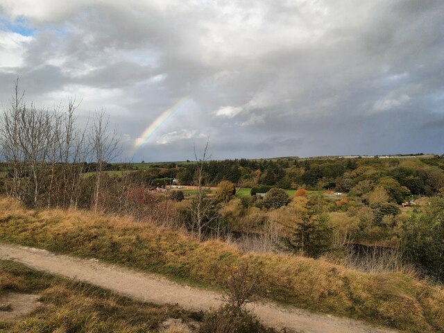
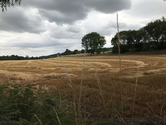
Ovingham is nestled amidst rolling countryside, providing residents and visitors with picturesque views and ample opportunities for outdoor activities. The village is surrounded by farmlands and woodlands, offering peaceful walking trails and scenic cycling routes. Additionally, the River Tyne is a prominent feature of the village, providing opportunities for fishing and boating.
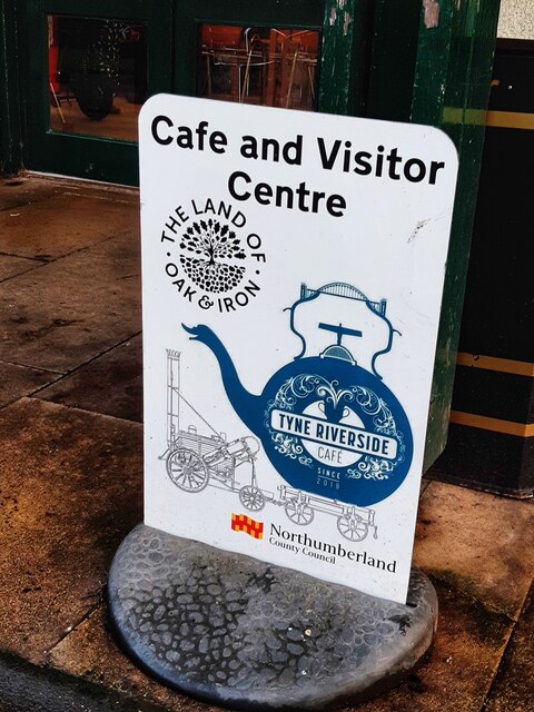
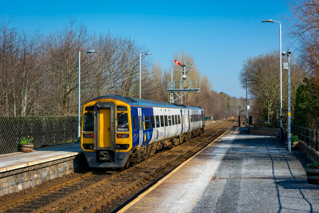
The village is well-served by local amenities, including a primary school, a village hall, and several shops and pubs. Ovingham also benefits from excellent transport links, with a train station providing regular services to Newcastle and Carlisle.
Overall, Ovingham is a charming village that seamlessly combines its rich history with natural beauty, making it an ideal place for those seeking a peaceful and idyllic lifestyle in Northumberland.
If you have any feedback on the listing, please let us know in the comments section below.
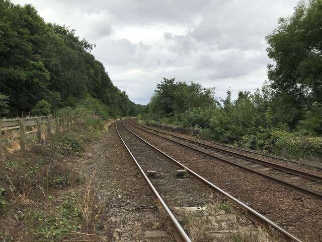
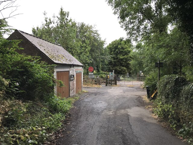
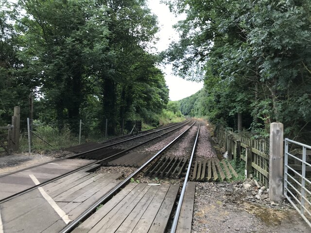
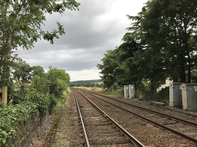
Ovingham Images
Images are sourced within 2km of 54.968198/-1.868459 or Grid Reference NZ0863. Thanks to Geograph Open Source API. All images are credited.


Ovingham is located at Grid Ref: NZ0863 (Lat: 54.968198, Lng: -1.868459)
Unitary Authority: Northumberland
Police Authority: Northumbria
What 3 Words
///chromatic.precautions.regulates. Near Prudhoe, Northumberland
Nearby Locations
Related Wikis
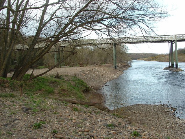
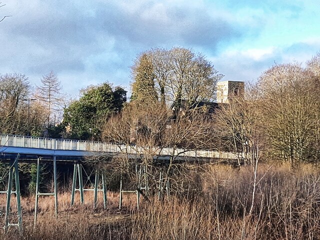
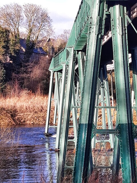
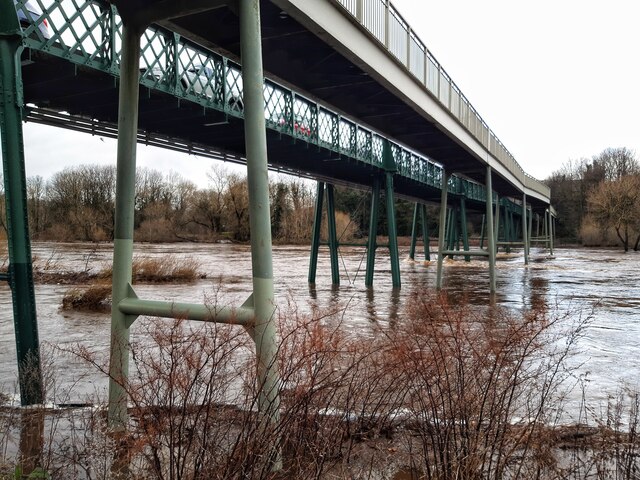
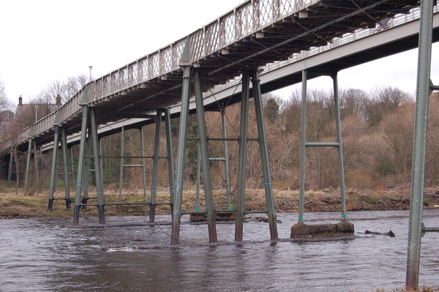
Ovingham Bridge
Ovingham Bridges are a pair of side-by-side vehicle and pedestrian bridges across the River Tyne linking Ovingham and Prudhoe in Northumberland, England...
Ovingham
Ovingham is a civil parish and village in the Tyne Valley of south Northumberland, England. It lies on the River Tyne 10 miles (16 km) east of Hexham...

Prudhoe railway station
Prudhoe is a railway station on the Tyne Valley Line, which runs between Newcastle and Carlisle via Hexham. The station, situated 12 miles 1 chain (12...

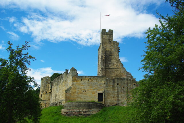
Prudhoe Castle
Prudhoe Castle is a ruined medieval English castle situated on the south bank of the River Tyne at Prudhoe, Northumberland, England. It is a Scheduled...
Nearby Amenities
Located within 500m of 54.968198,-1.868459Have you been to Ovingham?
Leave your review of Ovingham below (or comments, questions and feedback).