Bill Quay
Settlement in Durham
England
Bill Quay

Bill Quay is a small village located in County Durham, England. Situated on the southern bank of the River Tyne, it lies approximately 2 miles east of the town of Hebburn and 6 miles northeast of the city of Durham. The village is part of the Metropolitan Borough of Gateshead.
Bill Quay has a rich industrial history, with its roots dating back to the 18th century. It was once a thriving coal mining community, with several collieries operating in the area. However, the decline of the coal industry in the late 20th century led to the closure of these mines, resulting in a significant economic shift for the village.
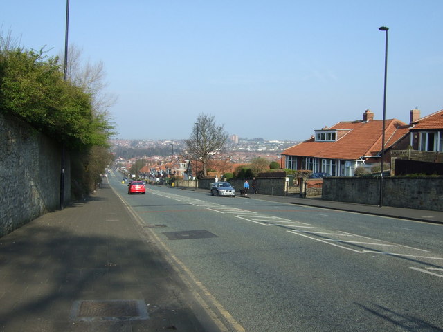
Today, Bill Quay is a quiet residential area with a close-knit community. It boasts a picturesque setting, with the River Tyne offering scenic views and recreational opportunities. The village is known for its charming terraced houses, which were built for the coal miners in the past.
Although small in size, Bill Quay offers essential amenities to its residents, including a primary school, a community center, and a local pub. The nearby town of Hebburn provides additional facilities such as supermarkets, shops, and leisure centers.
With its proximity to major urban centers like Newcastle and Durham, Bill Quay offers a peaceful suburban lifestyle while still providing easy access to employment and entertainment opportunities. It is a desirable location for those seeking a quiet village atmosphere within reach of city amenities.
If you have any feedback on the listing, please let us know in the comments section below.
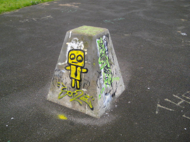
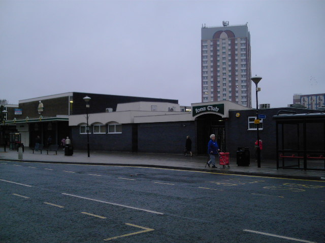
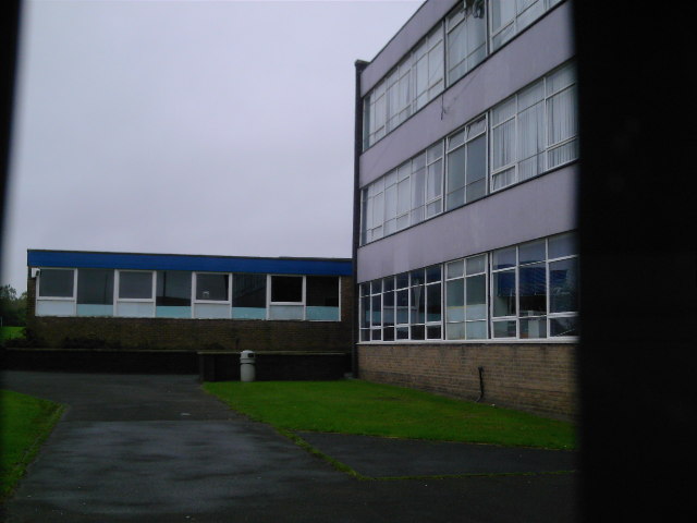
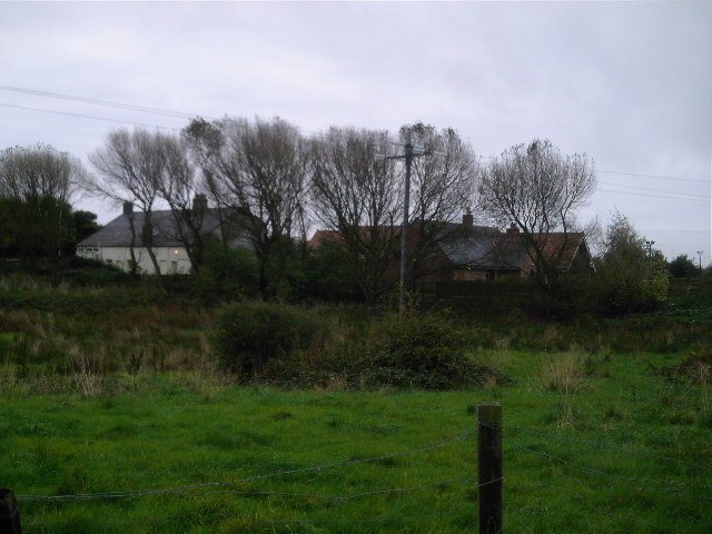
Bill Quay Images
Images are sourced within 2km of 54.95853/-1.537717 or Grid Reference NZ2962. Thanks to Geograph Open Source API. All images are credited.


Bill Quay is located at Grid Ref: NZ2962 (Lat: 54.95853, Lng: -1.537717)
Unitary Authority: Gateshead
Police Authority: Northumbria
What 3 Words
///light.fees.random. Near Hebburn, Tyne & Wear
Related Wikis
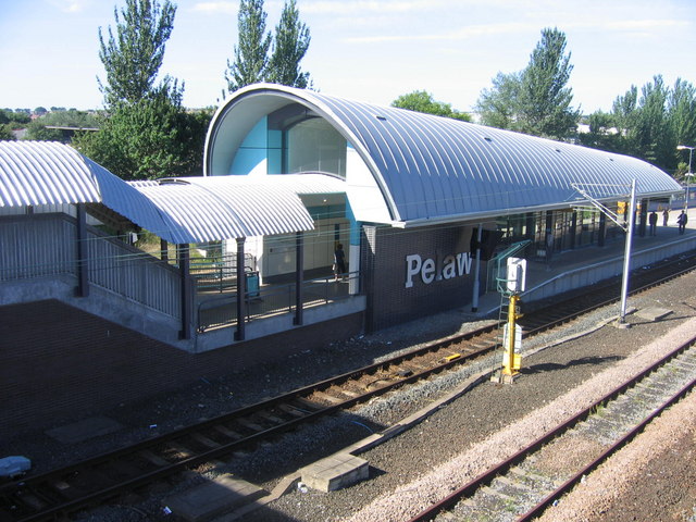
Pelaw Metro station
Pelaw is a Tyne and Wear Metro station, serving the suburbs of Bill Quay, Pelaw and Wardley, Gateshead in Tyne and Wear, England. It joined the network...

Pelaw
Pelaw () is a residential area in Gateshead, located around 3.5 miles (5.6 km) from Newcastle upon Tyne, 11 miles (18 km) from Sunderland, and 17 miles...
St Joseph's Catholic Academy
St Joseph's Catholic Academy (formerly St Joseph's RC Comprehensive School) is a coeducational Roman Catholic secondary school with academy status, located...
Bill Quay
Bill Quay is a residential area in Gateshead, located around 4 miles (6.4 km) from Newcastle upon Tyne, 12 miles (19 km) from Sunderland, and 17 miles...
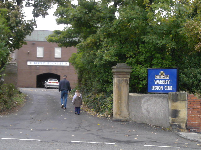
Wardley, Gateshead
Wardley is a residential area in Gateshead, located around 4 miles (6.4 km) from Newcastle upon Tyne, 10 miles (16 km) from Sunderland, and 15 miles (24...
A186 road (England)
The A186 is a road in Tyne and Wear, England. It runs between the A1 Junction 75, and the eastern end of the A69 to the A192 in Whitley Bay. It follows...
St. Anthonys railway station
St. Anthonys was a railway station on the Riverside Branch, which ran between Byker and Willington Quay. The station served Walker in Newcastle upon Tyne...

Heworth Interchange
Heworth Interchange consists of a National Rail, Tyne and Wear Metro and bus station. It is located in the suburb of Heworth, Gateshead in Tyne and Wear...
Nearby Amenities
Located within 500m of 54.95853,-1.537717Have you been to Bill Quay?
Leave your review of Bill Quay below (or comments, questions and feedback).