Otherton

Settlement in Staffordshire South Staffordshire

England

Otherton

Filance Lock near Penkridge in Staffordshire Filance Lock is No 37 on the Staffordshire and Worcestershire Canal near Penkridge, by Templars Way. It proviseds a fall (or rise) of 10ft 3in (about 3·1 metres).
Filance Lock near Penkridge in Staffordshire Credit: Roger Kidd

Otherton is a small village located in the county of Staffordshire, England. Situated approximately 5 miles north of the town of Stafford, Otherton is nestled within the Staffordshire countryside, offering its residents a peaceful and picturesque setting.

With a population of around 500 people, Otherton maintains a close-knit community feel. The village is primarily residential, characterized by a mix of traditional stone cottages and more modern housing developments. The architecture in Otherton reflects the village's rich history, with some buildings dating back several centuries.

Despite its small size, Otherton boasts a range of amenities for its residents. These include a local primary school, a village hall, and a small convenience store. The village also benefits from good transport links, with regular bus services connecting it to nearby towns and cities.

For those seeking leisure activities, Otherton offers plenty of opportunities for outdoor pursuits. The village is surrounded by beautiful countryside, making it an ideal location for walking, cycling, and exploring nature. There are also several parks and green spaces within the village where residents can relax and enjoy the outdoors.

Overall, Otherton provides a tranquil and friendly environment for its residents. Its rural charm, combined with its convenient location, makes it an attractive place to live for those seeking a peaceful village lifestyle within easy reach of larger towns and cities.

If you have any feedback on the listing, please let us know in the comments section below.
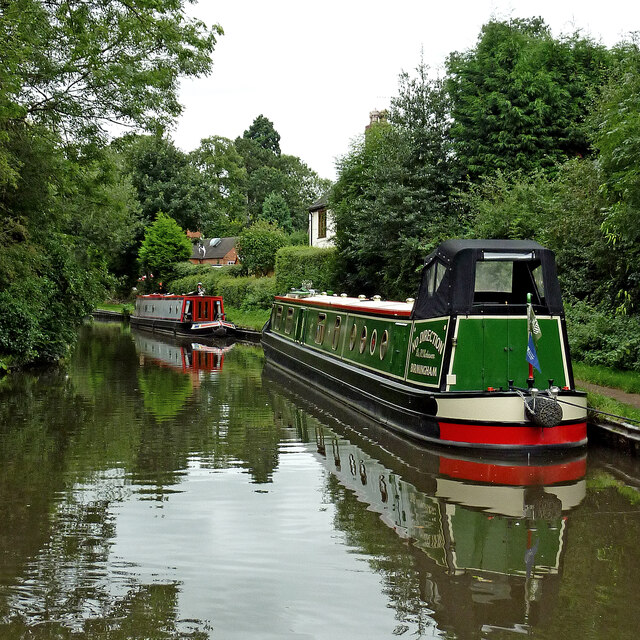
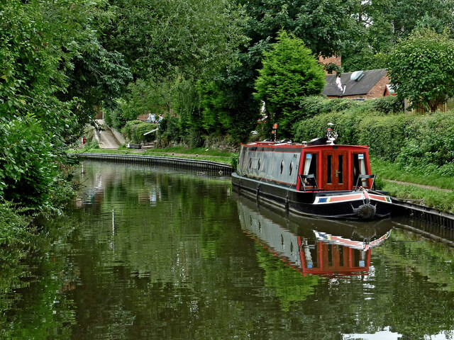
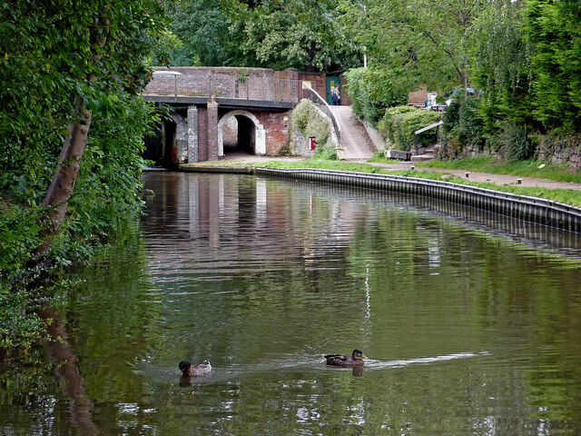
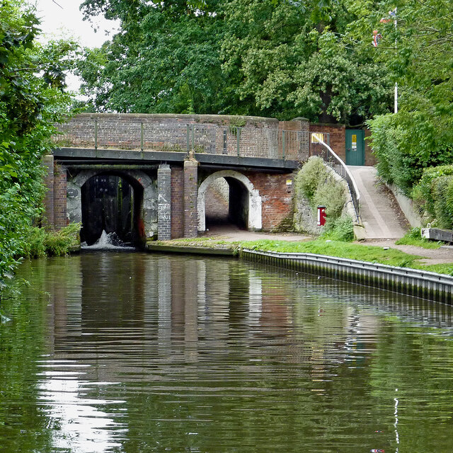
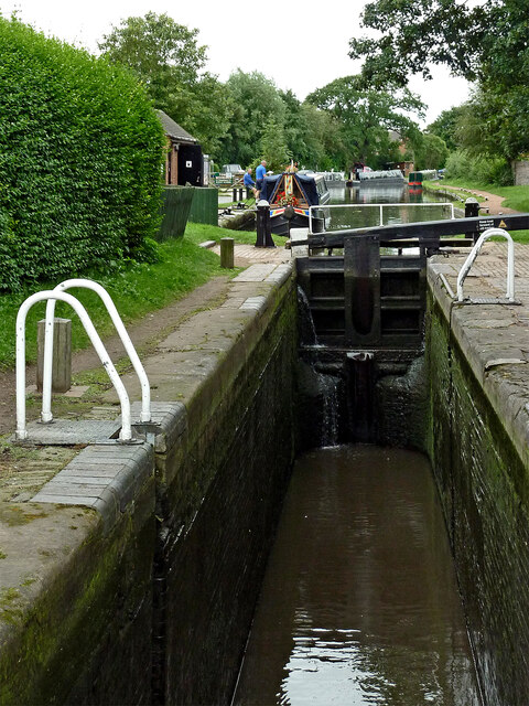
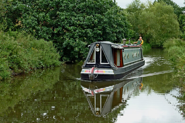
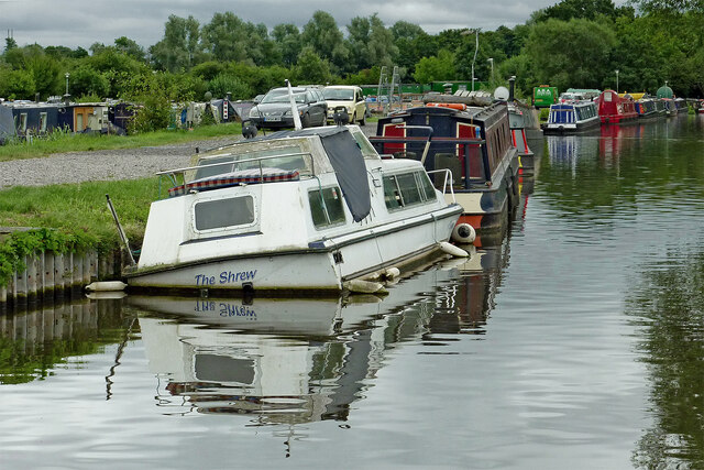
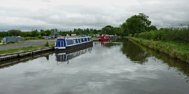
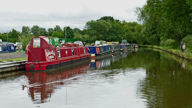
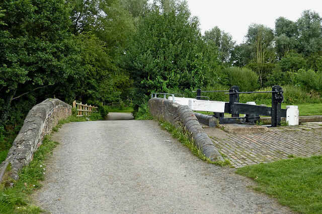
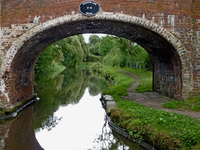
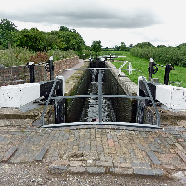
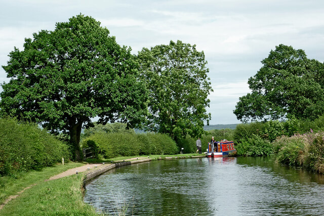
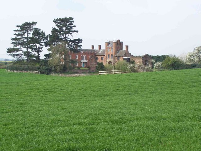
Otherton Images

Images are sourced within 2km of 52.709191/-2.108018 or Grid Reference SJ9212. Thanks to Geograph Open Source API. All images are credited.

Filance Lock near Penkridge in Staffordshire Filance Lock is No 37 on the Staffordshire and Worcestershire Canal near Penkridge, by Templars Way. It proviseds a fall (or rise) of 10ft 3in (about 3·1 metres).
Filance Lock near Penkridge in Staffordshire
Filance Lock is No 37 on the Staffordshire and Worcestershire Canal near Penkridge, by Templars Way. It proviseds a fall (or rise) of 10ft 3in (about 3·1 metres).
Housing by the canal near Penkridge in Staffordshire This is the Staffordshire and Worcestershire Canal, looking south-west towards Penkridge Lock. The mobile homes are in Little Marsh Grove.
Housing by the canal near Penkridge in Staffordshire
This is the Staffordshire and Worcestershire Canal, looking south-west towards Penkridge Lock. The mobile homes are in Little Marsh Grove.
Moored narrowboats near Penkridge in Staffordshire This is the Staffordshire and Worcestershire Canal, looking south-west towards Penkridge Lock (just past the bend). There are plenty of visitor moorings here north of Penkridge Lock.
Moored narrowboats near Penkridge in Staffordshire
This is the Staffordshire and Worcestershire Canal, looking south-west towards Penkridge Lock (just past the bend). There are plenty of visitor moorings here north of Penkridge Lock.
Staffordshire and Worcestershire Canal at Penkridge in Staffordshire This is the Staffordshire and Worcestershire Canal, looking south-west towards Penkridge Lock (just past the bend). There are plenty of visitor moorings here north of Penkridge Bridge and Lock.
Staffordshire and Worcestershire Canal at Penkridge in Staffordshire
This is the Staffordshire and Worcestershire Canal, looking south-west towards Penkridge Lock (just past the bend). There are plenty of visitor moorings here north of Penkridge Bridge and Lock.
Canal by Penkridge Bridge, Staffordshire This is the Staffordshire and Worcestershire Canal at Penkridge Bridge (No 86) and Lock (No 38 (just visible). There are plenty of visitor moorings behind the camera. The popular Boat Inn is off to the right.
Canal by Penkridge Bridge, Staffordshire
This is the Staffordshire and Worcestershire Canal at Penkridge Bridge (No 86) and Lock (No 38 (just visible). There are plenty of visitor moorings behind the camera. The popular Boat Inn is off to the right.
Penkridge Bridge and Lock in Staffordshire This is the Staffordshire and Worcestershire Canal at Penkridge Bridge (No 86) and Lock (No 38). There are plenty of visitor moorings behind the camera. The bridge carries Cannock Road. The lock provides a rise of 9ft 3in (2·8 metres), and its tail gates are leaking badly. The popular Boat Inn is off to the right.
Penkridge Bridge and Lock in Staffordshire
This is the Staffordshire and Worcestershire Canal at Penkridge Bridge (No 86) and Lock (No 38). There are plenty of visitor moorings behind the camera. The bridge carries Cannock Road. The lock provides a rise of 9ft 3in (2·8 metres), and its tail gates are leaking badly. The popular Boat Inn is off to the right.
Penkridge Lock in Staffordshire Looking south towards Wolverhampton and Stourport.
Penkridge Lock is No 38 on the Staffordshire and Worcestershire Canal. The lock provides a rise of 9ft 3in (2·8 metres), and has been drained in this image in anticipation of a narrowboat approaching from behind the camera. Contrasting with the bottom gates, the top gate is leaking minimally.
Penkridge Lock in Staffordshire
Looking south towards Wolverhampton and Stourport. Penkridge Lock is No 38 on the Staffordshire and Worcestershire Canal. The lock provides a rise of 9ft 3in (2·8 metres), and has been drained in this image in anticipation of a narrowboat approaching from behind the camera. Contrasting with the bottom gates, the top gate is leaking minimally.
Wading heron south of Penkridge, Staffordshire Unusually this bird decided not to fly off as we passed it on the Staffordshire and Worcestershire Canal. Teveray Drive housing is by the canal, above.
Wading heron south of Penkridge, Staffordshire
Unusually this bird decided not to fly off as we passed it on the Staffordshire and Worcestershire Canal. Teveray Drive housing is by the canal, above.
Canal cruising south of Penkridge in Staffordshire This is the Staffordshire and Worcestershire Canal at the southern edge of Penkridge, looking south-east as the canal meanders towards Wolverhampton and Stourport.
Canal cruising south of Penkridge in Staffordshire
This is the Staffordshire and Worcestershire Canal at the southern edge of Penkridge, looking south-east as the canal meanders towards Wolverhampton and Stourport.
Sunken boat by Otherton Marina near Penkridge A notice on the boat stated that it had been hit by a passing hire boat. Staffordshire and Worcestershire Canal.
Sunken boat by Otherton Marina near Penkridge
A notice on the boat stated that it had been hit by a passing hire boat. Staffordshire and Worcestershire Canal.
Staffordshire and Worcestershire Canal south of Penkridge Looking south-east towards Wolverhampton and Stourport. Otherton Marina is on the left.
Staffordshire and Worcestershire Canal south of Penkridge
Looking south-east towards Wolverhampton and Stourport. Otherton Marina is on the left.
Staffordshire and Worcestershire Canal south of Penkridge Looking south-east towards Wolverhampton and Stourport. Otherton Marina is on the left.
Staffordshire and Worcestershire Canal south of Penkridge
Looking south-east towards Wolverhampton and Stourport. Otherton Marina is on the left.
Otherton Bridge and Lock near Penkridge, Staffordshire Otherton Bridge is No 83 across the Staffordshire and Worcestershire Canal south of Penkridge. It is an accommodation bridge which also carries a public footpath. Otherton Lock provides a rise (or fall) of 10ft 3in (3·1 metres).
The noisy M6 motorway is behind the trees.
Otherton Bridge and Lock near Penkridge, Staffordshire
Otherton Bridge is No 83 across the Staffordshire and Worcestershire Canal south of Penkridge. It is an accommodation bridge which also carries a public footpath. Otherton Lock provides a rise (or fall) of 10ft 3in (3·1 metres). The noisy M6 motorway is behind the trees.
Staffordshire and Worcestershire Canal south of Penkridge Looking south towards Wolverhampton through the arch of Otherton Lane Bridge, No 81.
Staffordshire and Worcestershire Canal south of Penkridge
Looking south towards Wolverhampton through the arch of Otherton Lane Bridge, No 81.
Rodbaston Lock near Gailey in Staffordshire Rodbaston Lock is No 35 on the Staffordshire and Worcestershire Canal south of Penkridge. It provides a rise (or fall) of 8ft 6in (26 metres). Rodbaston Lock Bridge in the foreground is No 80 and used to be at the end of Gailey Lea Lane. Following construction of the nearby M6 motorway by 1968, the bridge became redundant, though a public footpath still crosses it.
Rodbaston Lock near Gailey in Staffordshire
Rodbaston Lock is No 35 on the Staffordshire and Worcestershire Canal south of Penkridge. It provides a rise (or fall) of 8ft 6in (26 metres). Rodbaston Lock Bridge in the foreground is No 80 and used to be at the end of Gailey Lea Lane. Following construction of the nearby M6 motorway by 1968, the bridge became redundant, though a public footpath still crosses it.
St Michael  & All Angels, Penkridge
St Michael & All Angels, Penkridge
The Churchyard of St Michaels & All Angels, Penkridge
Staffordshire and Worcestershire Canal near Gailey in Staffordshire The narrowboat is about to move into Brick Kiln Lock, No 33.
Staffordshire and Worcestershire Canal near Gailey in Staffordshire
The narrowboat is about to move into Brick Kiln Lock, No 33.
Show me another place!

Otherton is located at Grid Ref: SJ9212 (Lat: 52.709191, Lng: -2.108018)

Administrative County: Staffordshire

District: South Staffordshire

Police Authority: Staffordshire

What 3 Words

///commuting.vesting.touchy. Near Penkridge, Staffordshire

Nearby Locations

Otherton Lyne Hill

Related Wikis

Rodbaston

Rodbaston is a village in Staffordshire, England. The population as taken at the 2011 census can be found under Penkridge. It is the location of a campus...

The Rural Enterprise Academy

The Rural Enterprise Academy is a coeducational high school and sixth form located in Penkridge, Staffordshire, UK. It was the first dedicated land-based...

Cuttleston

Cuttleston or Cuttlestone is a hundred in the county of Staffordshire, England, located in the centre of that county, south of Stafford. Cuttleston was...

Penkridge weather station

Penkridge weather station is a weather station at Penkridge in Staffordshire, England, operated by the Met Office. It is situated on the site of Rodbaston...

History of Penkridge

Penkridge is a village and parish in Staffordshire with a history stretching back to the Anglo-Saxon period. A religious as well as a commercial centre...

Pillaton Hall

Pillaton Hall was an historic house located in Pillaton, Staffordshire, near Penkridge, England. For more than two centuries it was the seat of the Littleton...

Wolgarston High School

Wolgarston High School is a coeducational upper school and sixth form located in Penkridge, Staffordshire, England. Wolgarston High School is an age 13...

Penkridge railway station

Penkridge railway station is a railway station serving the village of Penkridge in Staffordshire, England. It is situated on the Birmingham loop of the...

Nearby Amenities

Located within 500m of 52.709191,-2.108018
Seamark Type: gate
Waterway: lock_gate
Lat/Long: 52.7092269/-2.102187
Seamark Type: gate
Waterway: lock_gate
Lat/Long: 52.7094289/-2.1022719
Boat Rental
Jones Family Cruising
Description: Private Narrowboat Hire
Operator: ML & BM Jones
Lat/Long: 52.7107894/-2.1036204
Bridge Support: pier
Lat/Long: 52.7134658/-2.1074862
The data included in this document is from www.openstreetmap.org. The data is made available under ODbL.

Have you been to Otherton?

Leave your review of Otherton below (or comments, questions and feedback).