Bigrigg

Settlement in Cumberland Copeland

England

Bigrigg

Benchmark, Scalegill, Railway Bridge Detail of the Ordnance Survey flush bracket benchmark on the railway bridge which carries the A595 road over the former Mirehouse Junction to Moor Row railway near Scalegill.  The benchmark marks a height of 66.6317m above mean sea level (Ordnance Datum Newlyn) last levelled in 1961 and verified in 1965 (location photograph <a href="https://www.geograph.org.uk/photo/7145255">NX9914 : Railway bridge parapet, Scalegill</a>).
Benchmark, Scalegill, Railway Bridge Credit: Adrian Taylor

Bigrigg is a small village located in the county of Cumberland, in the North West of England. It is situated about 2 miles east of the town of Egremont and approximately 7 miles south-west of Whitehaven. Bigrigg falls within the civil parish of St. Bees.

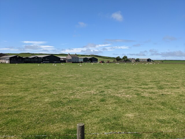
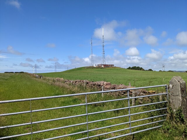
The village is nestled in a picturesque rural landscape, with rolling hills and stunning views of the surrounding countryside. It is primarily a residential area, with a small population of around 400 people. The village is known for its tight-knit community and friendly atmosphere, making it an attractive place to live for families and retirees alike.

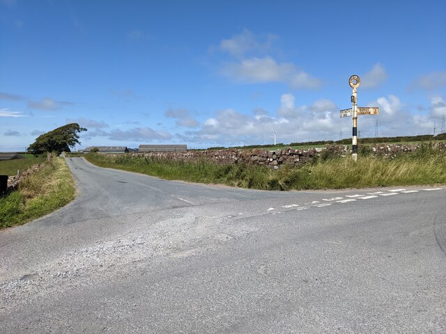
Bigrigg is well-connected to the wider region, with good transport links to nearby towns and cities. The A595 road runs close to the village, connecting it to the coastal towns of Whitehaven and Workington, as well as to the Lake District National Park. The nearest railway station is in nearby St. Bees, which provides services to Carlisle and Barrow-in-Furness.

While Bigrigg itself may not have a wide range of amenities, residents have easy access to the nearby towns for shopping, dining, and entertainment options. The village benefits from its proximity to the scenic St. Bees beach, which is just a short drive away.

Overall, Bigrigg offers a peaceful and idyllic rural lifestyle, with its beautiful countryside surroundings and close-knit community, making it a desirable place to call home.

If you have any feedback on the listing, please let us know in the comments section below.
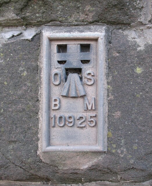
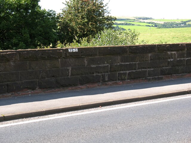
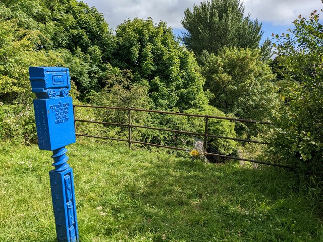
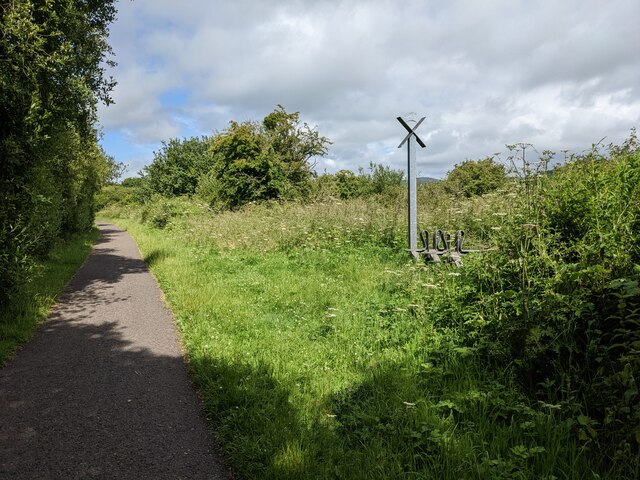
Bigrigg Images

Images are sourced within 2km of 54.503997/-3.543364 or Grid Reference NY0013. Thanks to Geograph Open Source API. All images are credited.

Benchmark, Scalegill, Railway Bridge Detail of the Ordnance Survey flush bracket benchmark on the railway bridge which carries the A595 road over the former Mirehouse Junction to Moor Row railway near Scalegill.  The benchmark marks a height of 66.6317m above mean sea level (Ordnance Datum Newlyn) last levelled in 1961 and verified in 1965 (location photograph <a href="https://www.geograph.org.uk/photo/7145255">NX9914 : Railway bridge parapet, Scalegill</a>).
Benchmark, Scalegill, Railway Bridge
Detail of the Ordnance Survey flush bracket benchmark on the railway bridge which carries the A595 road over the former Mirehouse Junction to Moor Row railway near Scalegill. The benchmark marks a height of 66.6317m above mean sea level (Ordnance Datum Newlyn) last levelled in 1961 and verified in 1965 (location photograph NX9914 : Railway bridge parapet, Scalegill).
Railway bridge parapet, Scalegill The bridge near Scalegill carries the A595 road over the former Mirehouse Junction to Moor Row railway, now a part of the Coast to Coast Path.
There is an Ordnance Survey flush bracket benchmark on the face of the parapet wall (photograph <a href="https://www.geograph.org.uk/photo/7145198">NX9914 : Benchmark, Scalegill, Railway Bridge</a>), below and to the right of the engineer’s painted reference number.
Railway bridge parapet, Scalegill
The bridge near Scalegill carries the A595 road over the former Mirehouse Junction to Moor Row railway, now a part of the Coast to Coast Path. There is an Ordnance Survey flush bracket benchmark on the face of the parapet wall (photograph NX9914 : Benchmark, Scalegill, Railway Bridge), below and to the right of the engineer’s painted reference number.
A grassy field near Loughrigg farm
The road junction at Loughrigg There is information about the type of signpost here: <a title="https://www.geograph.org.uk/photo/4562007" href="https://www.geograph.org.uk/photo/4562007">Link</a>
The road junction at Loughrigg
There is information about the type of signpost here: Link
Wireless masts near Bigrigg Why do they need two masts? Neither seems to be 'full' of aerials.
Wireless masts near Bigrigg
Why do they need two masts? Neither seems to be 'full' of aerials.
A reservoir near Bigrigg The grass bank makes it unobtrusive in the landscape.
A reservoir near Bigrigg
The grass bank makes it unobtrusive in the landscape.
Houses at Bigrigg
Houses at Bigrigg
An unclassified road through the woods at Bigrigg
A junction on the cycleway at Moor Row Hadrian's Cycleway and the Coast to Coast use the old railway lines. The blue post marks the Coast to Coast (alternative) route and has an intricate engineering design. 
Hadrian's Cycleway runs from Ravenglass to South Shields.  See here for more information: <span class="nowrap"><a title="https://www.sustrans.org.uk/find-other-routes/hadrians-cycleway" rel="nofollow ugc noopener" href="https://www.sustrans.org.uk/find-other-routes/hadrians-cycleway">Link</a><img style="margin-left:2px;" alt="External link" title="External link - shift click to open in new window" src="https://s1.geograph.org.uk/img/external.png" width="10" height="10"/></span>
A junction on the cycleway at Moor Row
Hadrian's Cycleway and the Coast to Coast use the old railway lines. The blue post marks the Coast to Coast (alternative) route and has an intricate engineering design. Hadrian's Cycleway runs from Ravenglass to South Shields. See here for more information: LinkExternal link
Cycle Route 72 leaves the unclassified road to join the old railway line
Looking east from the cycleway Towards the hamlet of Cleator, with Dent hill in the distance.
Looking east from the cycleway
Towards the hamlet of Cleator, with Dent hill in the distance.
Cycle Route 72 on the old railway track
A substantial farm bridge over Cycle Route 72
The cycle route crosses Blind Lane This is not the original railway bridge, but I don't know why it has the cage-like design.
The cycle route crosses Blind Lane
This is not the original railway bridge, but I don't know why it has the cage-like design.
The cycle route crosses a farm lane here The blue post is a very elaborate Coast to Coast path marker, with a rail truck acknowledging the history of this section of path.
The cycle route crosses a farm lane here
The blue post is a very elaborate Coast to Coast path marker, with a rail truck acknowledging the history of this section of path.
A metal sculpture on Cycle Route 71 In the upper arms of the cross is a cartoon-like silhouette of a pig. The symbolism is not clear, but all the artwork along the cycleway is designed to reflect the heritage of the local area.
A metal sculpture on Cycle Route 71
In the upper arms of the cross is a cartoon-like silhouette of a pig. The symbolism is not clear, but all the artwork along the cycleway is designed to reflect the heritage of the local area.
Farm building and field access near Row Foot farm
Buildings at Row Foot farm
Show me another place!

Bigrigg is located at Grid Ref: NY0013 (Lat: 54.503997, Lng: -3.543364)

Administrative County: Cumbria

District: Copeland

Police Authority: Cumbria

What 3 Words

///bounding.reset.peachy. Near Cleator Moor, Cumbria

Nearby Locations

Bigrigg

Related Wikis

Bigrigg

Bigrigg is a village in the English county of Cumbria and within the boundaries of the historic county of Cumberland. Bigrigg is 2 miles north of the...
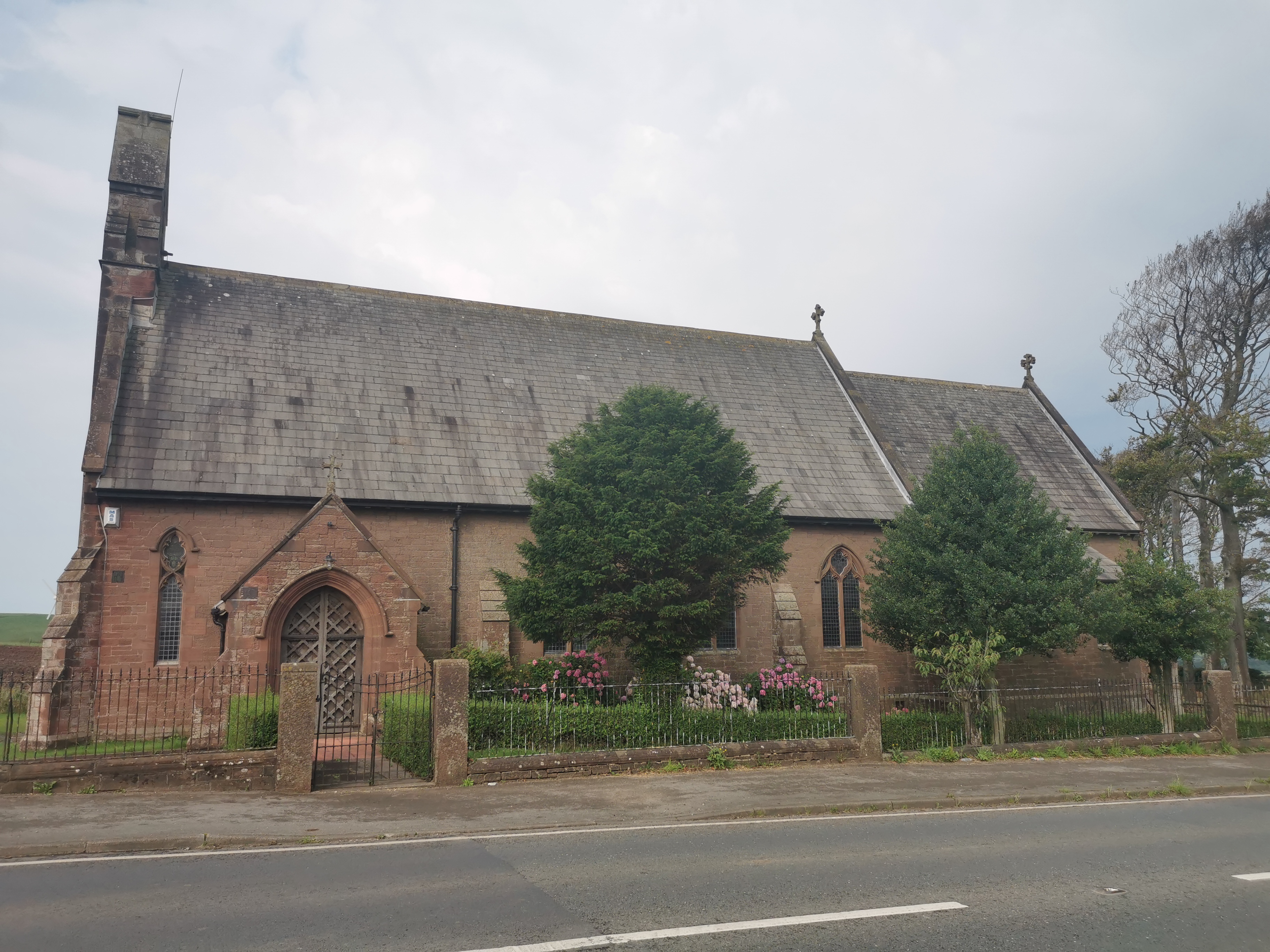
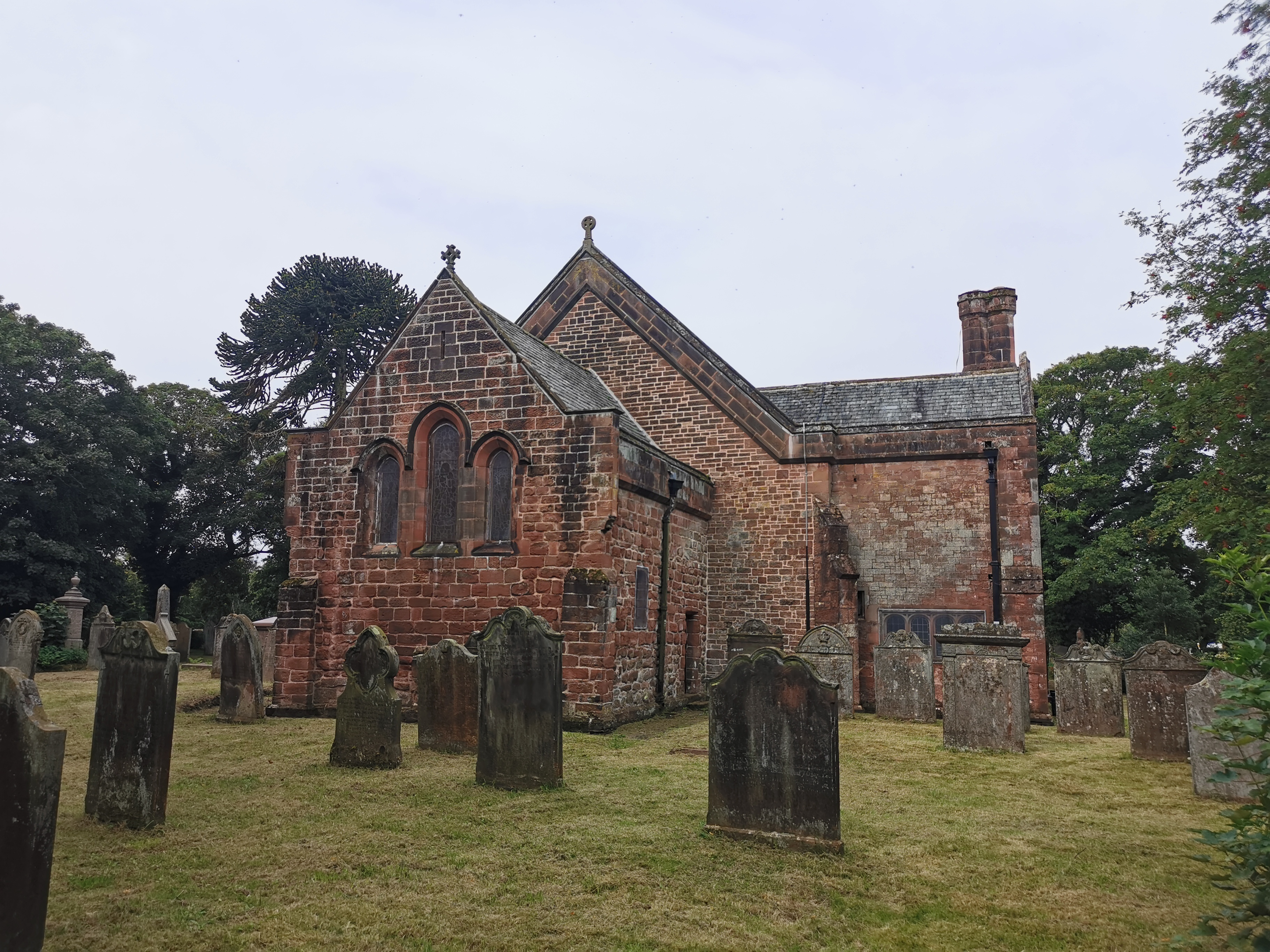
St John, Bigrigg

St John, Bigrigg is an Anglican church near Bigrigg, in Cumbria in northern England. It is in the deanery of Calder, and the diocese of Carlisle. Its benefice...

Woodend railway station

Woodend railway station (formally known as "Woodend for Cleator and Bigrigg") was planned by the Whitehaven, Cleator and Egremont Railway on its Sellafield...

Woodend, Egremont

Woodend is a village near Egremont, Cumbria, England. The village had a station on the Whitehaven, Cleator and Egremont Railway but it closed in 1947....

A595 road

The A595 is a primary route in Cumbria, in Northern England that starts in Carlisle, passes through Whitehaven and goes close to Workington, Cockermouth...

River Keekle

The River Keekle is a river running through the English county of Cumbria. The source of the Keekle is to be found at Keekle Head Farm on High Park between...

Moor Row

Moor Row is a village in Cumbria, North West England. It is in Egremont civil parish and lies on a minor road off the A595, south-east of Whitehaven. In...

St Leonard, Cleator

St Leonard is a church in Cleator, Cumbria, England. It is an active Anglican parish church in the deanery of Calder, and the diocese of Carlisle. Its...

Nearby Amenities

Located within 500m of 54.503997,-3.543364
Bus Stop
Springfield Villa
Naptan AtcoCode: 090050061473
Naptan Bearing: N
Naptan CommonName: Springfield Villa
Naptan Indicator: near
Naptan Landmark: junction with Bankend View
Naptan NaptanCode: cumatpgw
Naptan Street: A595(T) Springfield Road
Naptan Verified: no
Shelter: yes
Source: naptan_import
Lat/Long: 54.5028779/-3.543846
Park House Service Station
Naptan AtcoCode: 090050061793
Naptan Bearing: N
Naptan BusStopType: CUS
Naptan CommonName: Park House Service Station
Naptan Indicator: near
Naptan Landmark: Spar Shop & Garage
Naptan NaptanCode: cumatpjg
Naptan Street: A595(T) Springfield Road
Naptan Verified: no
Source: naptan_import
Lat/Long: 54.5052665/-3.5461293
Bus Stop
Centre
Local Ref: AT
Naptan AtcoCode: 090050062273
Naptan Bearing: S
Naptan CommonName: Centre
Naptan Indicator: at
Naptan Landmark: bus shelters
Naptan NaptanCode: cumatpjw
Naptan Street: A595(T) Springfield Road
Naptan Verified: no
Shelter: yes
Source: naptan_import
Lat/Long: 54.5031466/-3.5439179
Bus Stop
The Old Captains House
Bench: no
Bin: no
Lit: no
Naptan AtcoCode: 090050062835
Naptan Bearing: S
Naptan CommonName: The Old Captains House
Naptan Indicator: o/s
Naptan Landmark: The Old Captains House Pub
Naptan NaptanCode: cumatpmt
Naptan Street: A595(T) Springfield Road
Naptan Verified: no
Shelter: yes
Source: naptan_import
Tactile Paving: no
Lat/Long: 54.5058132/-3.546258
Post Box
Ref: CA22 121
Lat/Long: 54.504744/-3.5453985
Power: tower
Lat/Long: 54.500646/-3.5419542
Turning Circle
Source: Bing
Lat/Long: 54.5013705/-3.5434122
Power: tower
Lat/Long: 54.5006622/-3.5466533
Power: tower
Lat/Long: 54.5014047/-3.5383336
Power: tower
Lat/Long: 54.5076978/-3.5394542
Post Box
Ref: CA22 77
Lat/Long: 54.5029079/-3.5434999
Barrier: entrance
Lat/Long: 54.5016018/-3.543666
Spar
Addr City: Bigrigg
Addr Street: Springfield Road
Brand: Spar
Brand Wikidata: Q610492
Shop: convenience
Website: https://www.spar.co.uk/store-locator/hal25002-spar-bigrigg/
Lat/Long: 54.5045751/-3.5460988
Bigrigg
Is In: Cumbria
Place: village
Lat/Long: 54.5038663/-3.5441852
Power: pole
Lat/Long: 54.5043234/-3.5397582
Power: pole
Lat/Long: 54.5048552/-3.538346
Power: pole
Lat/Long: 54.5052843/-3.5371551
Power: pole
Lat/Long: 54.5056176/-3.5362686
Material: wood
Power: pole
Lat/Long: 54.5014211/-3.5395141
Power: pole
Lat/Long: 54.5021204/-3.5390595
Power: pole
Lat/Long: 54.5027636/-3.5386732
Power: pole
Lat/Long: 54.5031109/-3.5371685
Power: pole
Lat/Long: 54.5034084/-3.5358408
Material: wood
Power: pole
Lat/Long: 54.5013572/-3.5394055
Power: pole
Lat/Long: 54.5018821/-3.5380241
Power: pole
Lat/Long: 54.5023182/-3.5368305
Barrier: entrance
Lat/Long: 54.5016943/-3.5436778
Generator Method: photovoltaic
Generator Orientation: west
Generator Output Electricity: yes
Generator Source: solar
Generator Type: solar_photovoltaic_panel
Location: roof
Power: generator
Lat/Long: 54.5018814/-3.5439108
Generator Method: photovoltaic
Generator Orientation: east
Generator Output Electricity: yes
Generator Source: solar
Generator Type: solar_photovoltaic_panel
Location: roof
Power: generator
Lat/Long: 54.5018822/-3.5438532
Generator Method: photovoltaic
Generator Output Electricity: yes
Generator Source: solar
Generator Type: solar_photovoltaic_panel
Location: roof
Power: generator
Lat/Long: 54.5012545/-3.544627
Generator Method: photovoltaic
Generator Output Electricity: yes
Generator Source: solar
Generator Type: solar_photovoltaic_panel
Location: roof
Power: generator
Lat/Long: 54.5012055/-3.5445925
Generator Method: photovoltaic
Generator Output Electricity: yes
Generator Source: solar
Generator Type: solar_photovoltaic_panel
Location: roof
Power: generator
Lat/Long: 54.5002049/-3.5432301
Generator Method: photovoltaic
Generator Output Electricity: yes
Generator Source: solar
Generator Type: solar_photovoltaic_panel
Power: generator
Lat/Long: 54.5017704/-3.5418786
Generator Method: photovoltaic
Generator Output Electricity: yes
Generator Source: solar
Generator Type: solar_photovoltaic_panel
Location: roof
Power: generator
Lat/Long: 54.5025565/-3.5441961
Generator Method: photovoltaic
Generator Output Electricity: yes
Generator Source: solar
Generator Type: solar_photovoltaic_panel
Location: roof
Power: generator
Lat/Long: 54.5034809/-3.5452755
Generator Method: photovoltaic
Generator Output Electricity: yes
Generator Source: solar
Generator Type: solar_photovoltaic_panel
Location: roof
Power: generator
Lat/Long: 54.50356/-3.5452245
Generator Method: photovoltaic
Generator Output Electricity: yes
Generator Source: solar
Generator Type: solar_photovoltaic_panel
Location: roof
Power: generator
Lat/Long: 54.5044318/-3.5432533
Generator Method: photovoltaic
Generator Output Electricity: yes
Generator Source: solar
Generator Type: solar_photovoltaic_panel
Location: roof
Power: generator
Lat/Long: 54.5044357/-3.5433452
Generator Method: photovoltaic
Generator Output Electricity: yes
Generator Source: solar
Generator Type: solar_photovoltaic_panel
Location: roof
Power: generator
Lat/Long: 54.5057107/-3.5433963
Generator Method: photovoltaic
Generator Output Electricity: yes
Generator Source: solar
Generator Type: solar_photovoltaic_panel
Location: roof
Power: generator
Lat/Long: 54.5064152/-3.5454685
Crossing
Crossing: traffic_signals
Lat/Long: 54.504063/-3.5449336
Power: pole
Lat/Long: 54.5002917/-3.5408681
Power: pole
Lat/Long: 54.5009401/-3.5399535
Power: pole
Lat/Long: 54.5036781/-3.5510539
The data included in this document is from www.openstreetmap.org. The data is made available under ODbL.

Have you been to Bigrigg?

Leave your review of Bigrigg below (or comments, questions and feedback).