Biggin Hill
Settlement in Kent
England
Biggin Hill
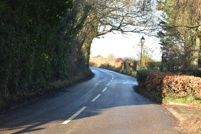
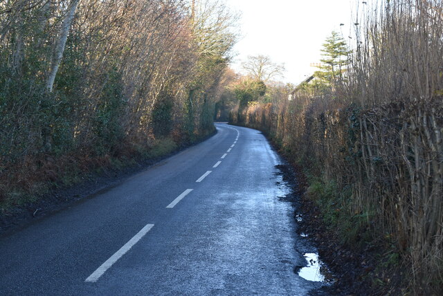
Biggin Hill is a small town located in the London Borough of Bromley, in the county of Kent, England. It is situated approximately 15 miles southeast of central London. Historically, Biggin Hill was a rural village known for its agricultural activities, but it gained significance during World War II as an important airfield.
During the war, Biggin Hill became a strategic base for the Royal Air Force (RAF) due to its proximity to London and its role in defending the city against German air raids. The airfield played a crucial role in the Battle of Britain, with RAF fighter squadrons stationed there. Today, the Biggin Hill Heritage Hangar and the Biggin Hill Memorial Museum preserve the town's wartime history.
In recent years, Biggin Hill has undergone significant development, transforming into a desirable area for residents and visitors alike. The town offers a mix of modern amenities and charming countryside, making it popular with families and professionals seeking a quieter lifestyle outside of London.
Biggin Hill is also known for its aviation heritage, with the Biggin Hill Airport serving as a major hub for private and business aviation. The airport holds a prestigious airshow every year, attracting aviation enthusiasts from around the world.
With its rich history, picturesque surroundings, and convenient location, Biggin Hill has become a sought-after place to live and visit in Kent.
If you have any feedback on the listing, please let us know in the comments section below.
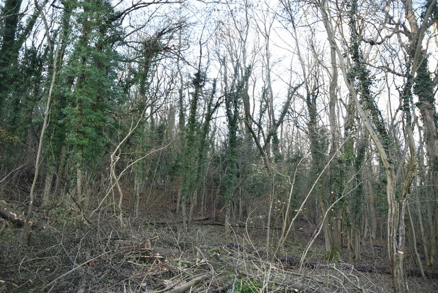
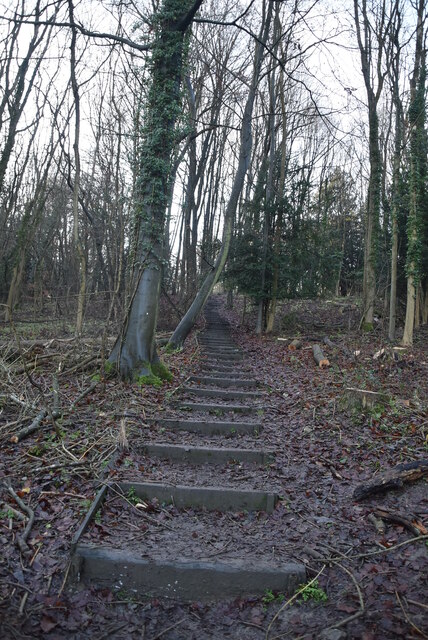
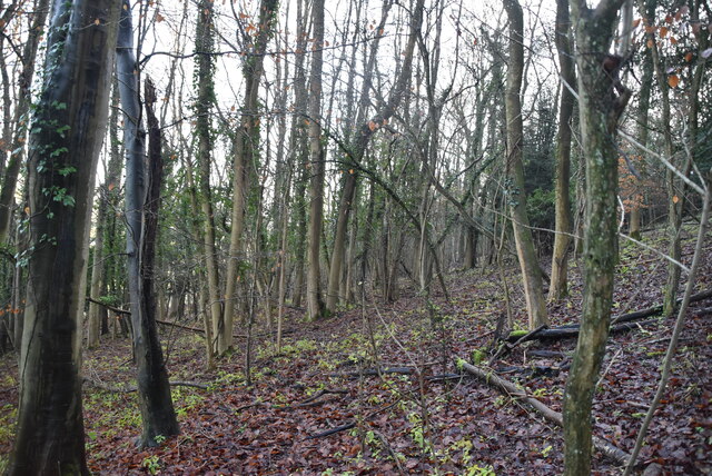
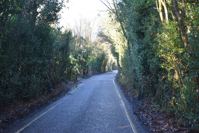
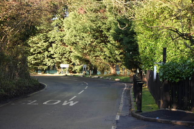
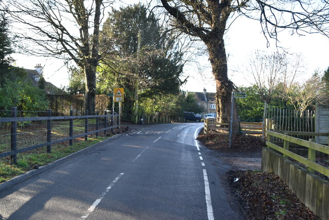
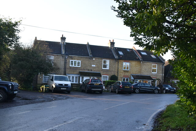
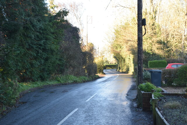
Biggin Hill Images
Images are sourced within 2km of 51.317698/0.03844 or Grid Reference TQ4259. Thanks to Geograph Open Source API. All images are credited.


Biggin Hill is located at Grid Ref: TQ4259 (Lat: 51.317698, Lng: 0.03844)
Unitary Authority: Bromley
Police Authority: Metropolitan
What 3 Words
///long.sailor.simple. Near Biggin Hill, London
Nearby Locations
Related Wikis

Charles Darwin School
Charles Darwin School is the only secondary school in the Biggin Hill area of the London Borough of Bromley, England. The school consists of 1,320 secondary...

Biggin Hill
Biggin Hill is a town in South East London, England, within the London Borough of Bromley. It is situated beyond London's contiguous built-up area in the...

Old Jail, Biggin Hill
The Old Jail was a pub in Jail Lane, Biggin Hill, Westerham, Kent, in the London Borough of Bromley. At this time of writing, (February 2023), it is permanently...

Aperfield
Aperfield is a hamlet and area in London, England, within the London Borough of Bromley, 16.2 miles (26 km) south-southeast of Charing Cross, and outside...

Single Street
Single Street is a hamlet in the London Borough of Bromley in Greater London, located between Luxted and Berry's Green, and centred around a street of...
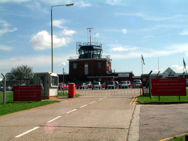
London Biggin Hill Airport
London Biggin Hill Airport (IATA: BQH, ICAO: EGKB) is the main international airport serving Biggin Hill in the London Borough of Bromley, located 12 NM...

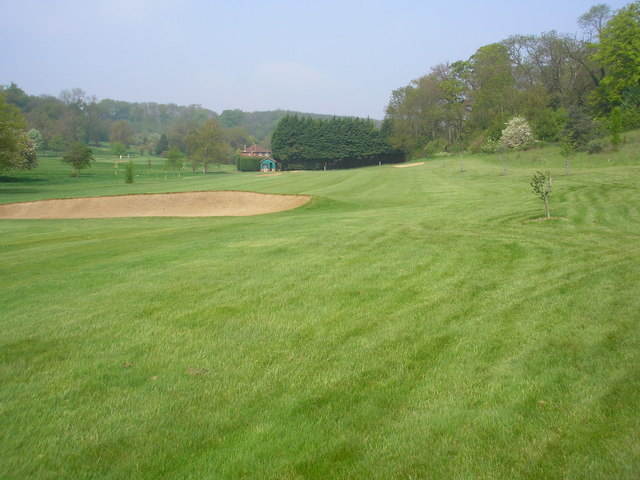
West Kent Golf Course nature reserve
West Kent Golf Course is located in Downe in the London Borough of Bromley. Three areas totalling 9.2 hectares within the golf course, owned by the golf...

Luxted
Luxted is a hamlet in the London Borough of Bromley, located to the south of Downe. The area is rural, noted for its abundance of woods and grasslands...
Nearby Amenities
Located within 500m of 51.317698,0.03844Have you been to Biggin Hill?
Leave your review of Biggin Hill below (or comments, questions and feedback).