Acton
Settlement in Staffordshire Newcastle-under-Lyme
England
Acton

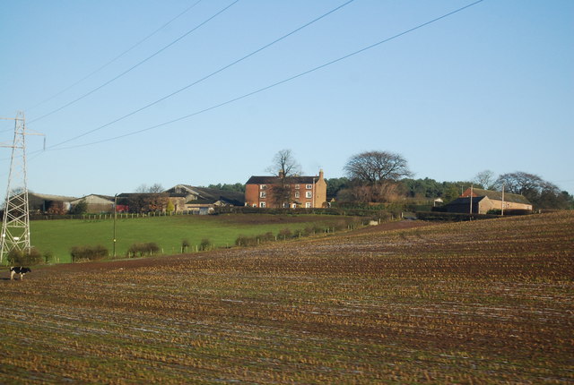
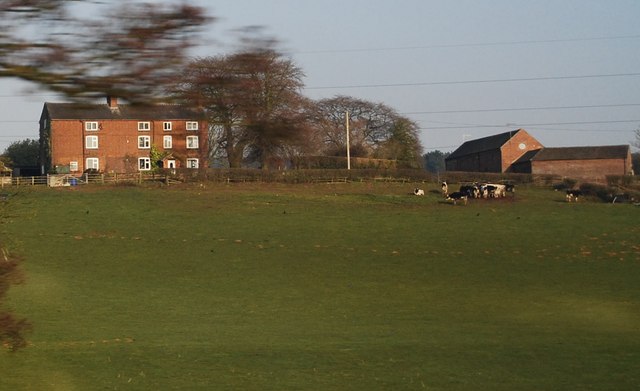
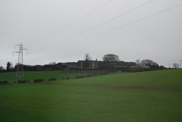
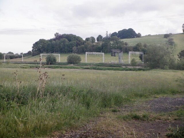
Acton is a small village located in the county of Staffordshire, England. Situated approximately 4 miles southwest of the bustling market town of Newcastle-under-Lyme, Acton is a rural community with a population of around 500 residents.
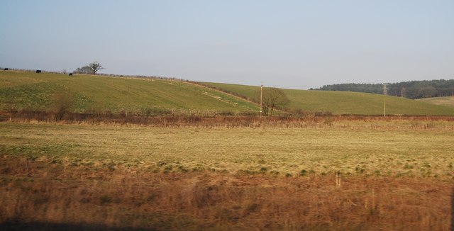
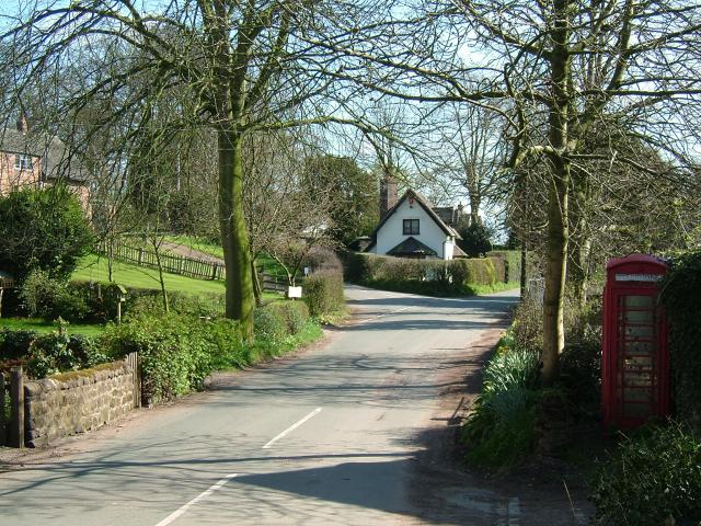
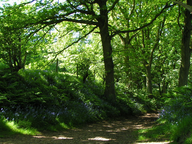
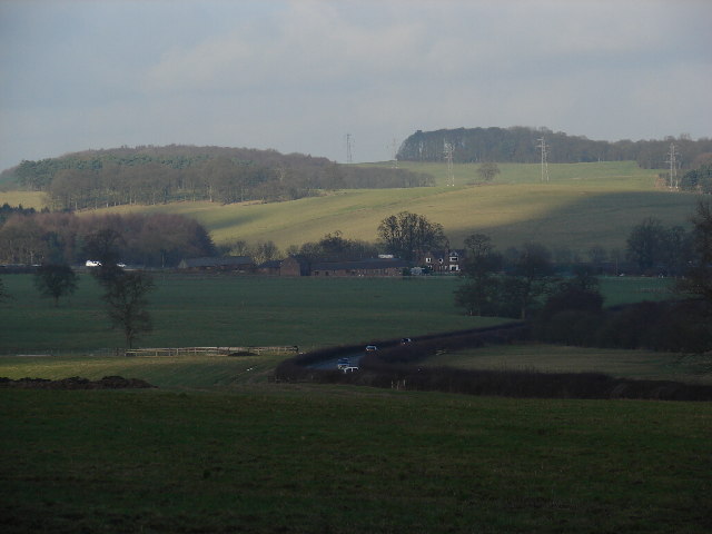
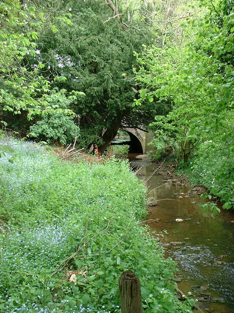
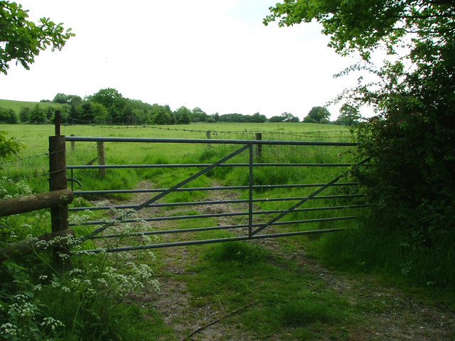
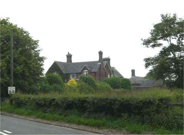
The village is known for its picturesque countryside, offering stunning views of the surrounding Staffordshire Moorlands. It is situated near the Peak District National Park, making it a popular destination for outdoor enthusiasts and nature lovers. The village itself is characterized by its traditional architecture, with many historic buildings dating back to the 17th and 18th centuries.
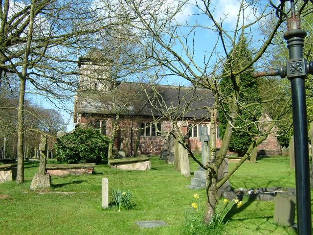
At the heart of Acton is St. Mary's Church, a notable landmark that has stood since the 13th century. The church is renowned for its beautiful stained glass windows and intricate masonry, attracting visitors from far and wide.
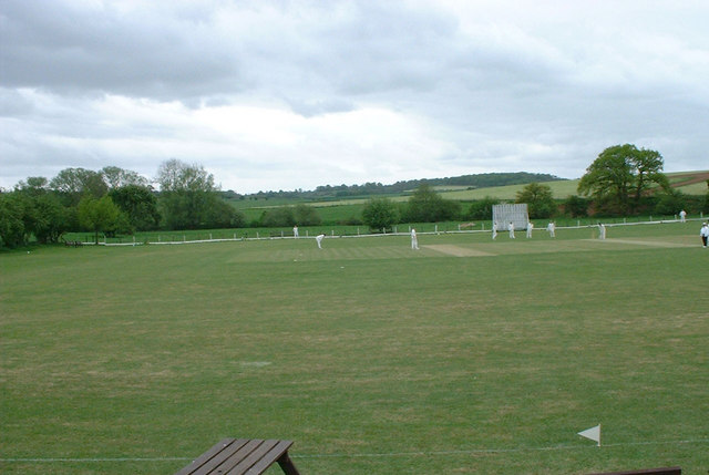
Acton is also home to a village hall, which serves as a community hub for various events and activities. The village has a friendly and close-knit community, with several local clubs and societies that offer opportunities for socializing and engagement.
Agriculture is an important industry in Acton, with many residents involved in farming and livestock rearing. The village is surrounded by fertile farmland, which contributes to the local economy and provides a picturesque backdrop.
Overall, Acton is a charming village that offers a tranquil and idyllic setting for those seeking a peaceful retreat or a taste of rural English life.
If you have any feedback on the listing, please let us know in the comments section below.
Acton Images
Images are sourced within 2km of 52.968384/-2.265006 or Grid Reference SJ8241. Thanks to Geograph Open Source API. All images are credited.

Acton is located at Grid Ref: SJ8241 (Lat: 52.968384, Lng: -2.265006)
Administrative County: Staffordshire
District: Newcastle-under-Lyme
Police Authority: Staffordshire
What 3 Words
///juror.mutual.ledge. Near Newcastle under Lyme, Staffordshire
Nearby Locations
Related Wikis

Acton, Staffordshire
Acton is a hamlet in the Borough of Newcastle-under-Lyme, Staffordshire. It lies four miles south west of Newcastle close to the junction of the A53 and...

Whitmore Hall
Whitmore Hall is the home of the Cavenagh-Mainwaring family at Whitmore, Staffordshire. A Grade I listed building, the hall was designated a house of...

Whitmore, Staffordshire
Whitmore is a village and small curacy in the county of Staffordshire, England, near Newcastle-under-Lyme. The name Whitmore can be found in the Domesday...

Loggerheads and Whitmore (ward)
Loggerheads and Whitmore ward was a ward in the Borough of Newcastle-under-Lyme, in the county of Staffordshire, England. It covered, amongst others, the...
Seabridge
Seabridge is a suburb of Newcastle-under-Lyme in Staffordshire, England. The origin of the name "Seabridge" is unknown as it is situated in the midlands...
Whitmore railway station
Whitmore was a station serving the village of Whitmore, Staffordshire. == History == The station opened onto the Grand Junction Railway in 1837: 41 when...
Baldwin's Gate
Baldwin's Gate is a village in the Borough of Newcastle-under-Lyme in Staffordshire. The population details for the 2011 census can be found under Whitmore...

Keele (ward)
Keele Ward is a local council ward in the borough of Newcastle-under-Lyme. It covers the village of Keele and the neighbouring University of Keele's campus...
Nearby Amenities
Located within 500m of 52.968384,-2.265006Have you been to Acton?
Leave your review of Acton below (or comments, questions and feedback).