Tame, Old
Settlement in Yorkshire
England
Tame, Old
Tame, Old, Yorkshire, is a small village located in the county of Yorkshire, England. With a population of around 500 residents, it is known for its quaint and tranquil atmosphere, making it an ideal destination for those seeking a peaceful getaway from the bustling city life.
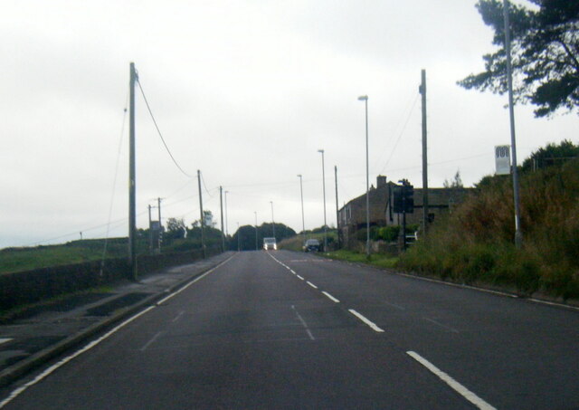
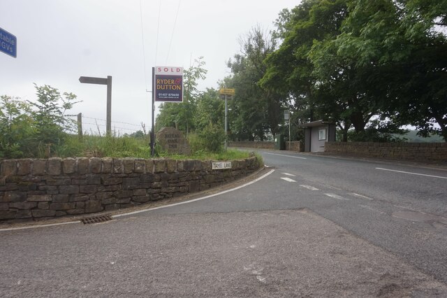
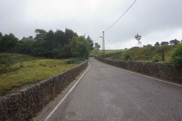
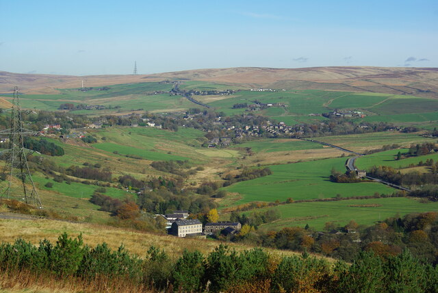
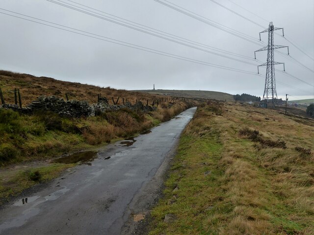
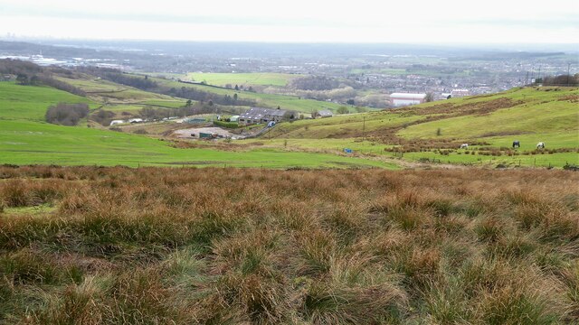
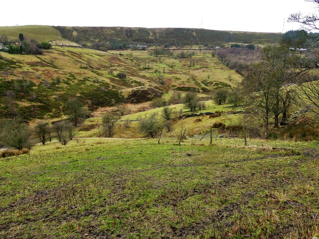
Situated amidst rolling hills and picturesque landscapes, Tame, Old offers visitors the opportunity to immerse themselves in the natural beauty of the region. The village is surrounded by lush green fields, dotted with grazing livestock, and is home to a charming river that runs through its heart. This river, along with the surrounding countryside, provides ample opportunities for outdoor activities such as fishing, hiking, and birdwatching.
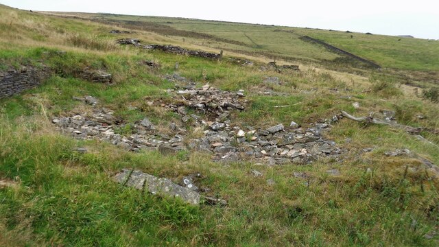
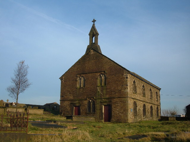
The village itself is characterized by its historic stone buildings and traditional architecture, showcasing the rich heritage of the area. One notable landmark is the St. Mary's Church, a beautiful medieval structure that stands as a testament to the village's long-standing history.
Despite its small size, Tame, Old boasts a close-knit community that takes pride in preserving local traditions and customs. The villagers often organize various events and festivals throughout the year, including summer fairs and Christmas markets, which attract visitors from neighboring towns and beyond.
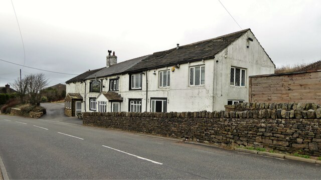
In terms of amenities, Tame, Old offers a range of facilities, including a village pub, local shops, and a primary school, ensuring that residents have access to essential services within their immediate vicinity. For additional amenities and services, the larger town of Yorkshire is just a short drive away.
Overall, Tame, Old, Yorkshire, is a charming village that offers a peaceful retreat, surrounded by stunning natural scenery and steeped in history.
If you have any feedback on the listing, please let us know in the comments section below.
Tame, Old Images
Images are sourced within 2km of 53.582973/-2.050568 or Grid Reference SD9609. Thanks to Geograph Open Source API. All images are credited.

Tame, Old is located at Grid Ref: SD9609 (Lat: 53.582973, Lng: -2.050568)
Division: West Riding
Unitary Authority: Oldham
Police Authority: Greater Manchester
What 3 Words
///moon.crops.refers. Near Delph, Manchester
Nearby Locations
Related Wikis

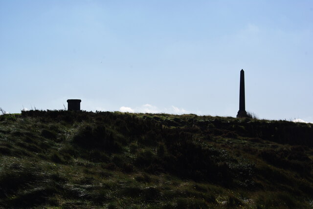
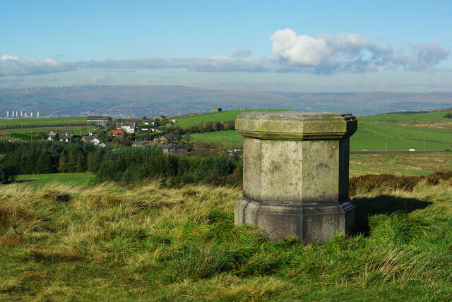
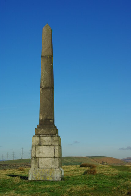
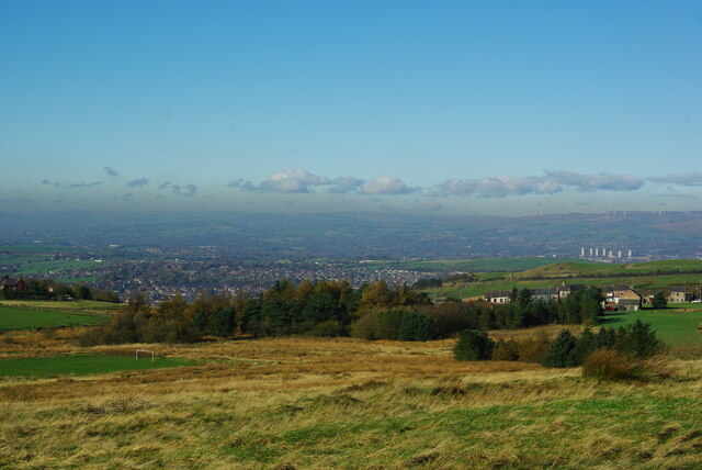
Crompton Moor
Crompton Moor (archaically known as High Moor) is an area of moorland in the South Pennines, in North West England. It lies along the northeastern outskirts...

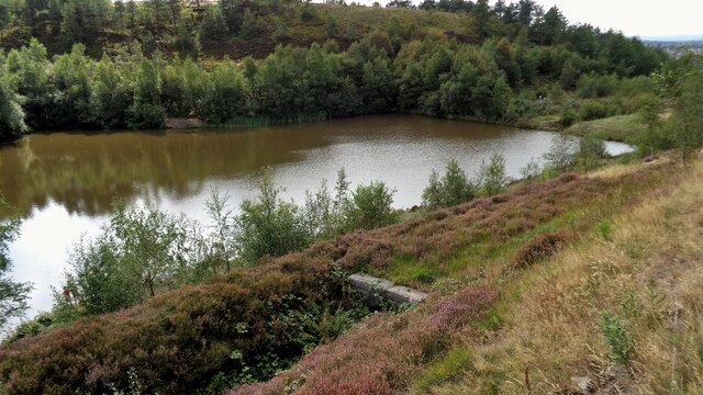
Brushes Clough Reservoir
Brushes Clough Reservoir is on Crompton Moor in Shaw and Crompton, Greater Manchester, England. It was created in the 19th century by the damming of Leornardin...

Denshaw
Denshaw is a village in the civil parish of Saddleworth in the Metropolitan Borough of Oldham, in Greater Manchester, England. It lies by the source of...
St Thomas' Church, Friarmere
St Thomas' Church, Friarmere, also known as Heights Chapel, is a redundant Anglican church standing on a hillside overlooking the village of Delph, Greater...

Heights, Greater Manchester
Heights is a hamlet in the Saddleworth parish of the Metropolitan Borough of Oldham, in Greater Manchester, England. It is directly north of Delph, and...

Crompton Hall
Crompton Hall was an historic house situated at Crompton Fold in the township of Crompton, Lancashire, and within the historic parish of Prestwich-cum...

Rooden Reservoir
Rooden Reservoir is a reservoir in the Piethorne Valley in the Metropolitan Borough of Rochdale, within Greater Manchester, England. It is close to Denshaw...

Shaw National Distribution Centre
Shaw National Distribution Centre (also known as Shaw NDC) was a warehouse distribution centre located in Shaw and Crompton, a town in Greater Manchester...
Related Videos

Delph, Tame Valley Way and Heights, Saddleworth
This was a walk of discoveries in landscape history, nature and past memories. The Tame Valley river was strewn with the ...

Uppermill & Delph Donkey Line, Saddleworth
Starting from Uppermill, there are plenty of free car parks. We parked behind Saddleworth Civic Hall. With it being so cold and ...

ANOTHER DOBCROSS LOCAL WALK 08/06/2020
DOBCROSS LOCAL WALK 08/06/2020 4.41km 2.75mi 1 hour 10 mins Lowest ascent 166m 545ft Highest ascent 283m 929ft ...
Nearby Amenities
Located within 500m of 53.582973,-2.050568Have you been to Tame, Old?
Leave your review of Tame, Old below (or comments, questions and feedback).