Old Somerby

Settlement in Lincolnshire South Kesteven

England

Old Somerby

Somerby Lane
Somerby Lane Credit: Bob Danylec

Old Somerby is a small village located in the county of Lincolnshire, England. It is situated approximately 3 miles north-east of the market town of Grantham. The village has a rich history, with records dating back to the Domesday Book in 1086.

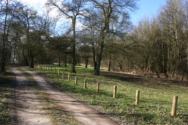
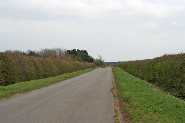
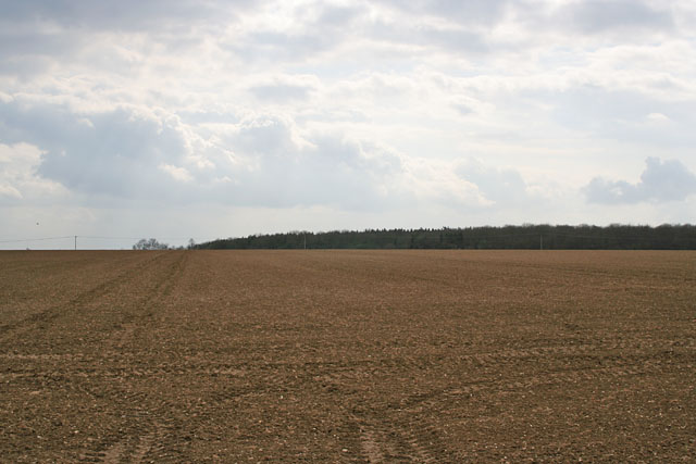
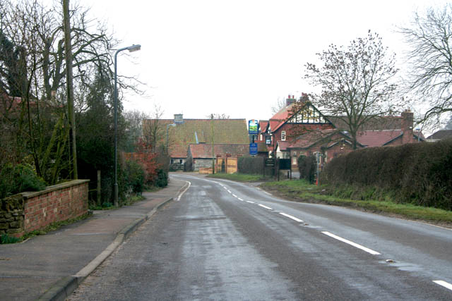
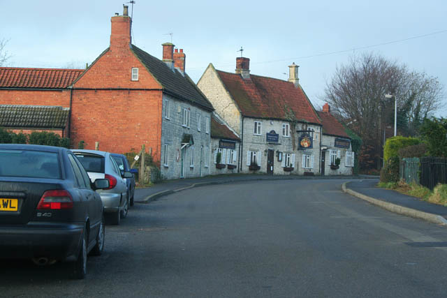
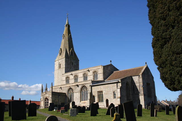
The village is characterized by its picturesque rural setting, surrounded by rolling hills and lush green fields. It is predominantly residential, with a small population of around 200 residents. The architecture in Old Somerby is predominantly traditional, with many houses dating back several centuries.

There are limited amenities within the village itself, with a small village hall serving as a community hub for local events and gatherings. However, the nearby town of Grantham provides residents with a wider range of amenities including shops, supermarkets, schools, and healthcare facilities.

Old Somerby benefits from its proximity to the A1 road, providing good transport links to nearby towns and cities. The village is also well-connected by public transport, with regular bus services operating between Old Somerby and Grantham.

The surrounding countryside offers residents and visitors ample opportunities for outdoor activities such as walking, cycling, and horse riding. Additionally, the nearby Belton House, a National Trust property, provides a popular attraction for tourists and locals alike.

In summary, Old Somerby is a charming village in Lincolnshire with a rich history and a tranquil countryside setting. It offers a peaceful and idyllic lifestyle, while still benefiting from the amenities and transport links provided by the nearby town of Grantham.

If you have any feedback on the listing, please let us know in the comments section below.

Old Somerby Images

Images are sourced within 2km of 52.894318/-0.568052 or Grid Reference SK9633. Thanks to Geograph Open Source API. All images are credited.

Somerby Lane
Somerby Lane
Drainage Ditch, Somerby Lane
St.Mary Magdalen's church, Old Somerby, Lincs. The tower and two bay south arcade are Early English, but there's a Norman chancel arch and Perpendicular clerestory. A tranquil setting on the edge of the village with a fine rectory for company.
St.Mary Magdalen's church, Old Somerby, Lincs.
The tower and two bay south arcade are Early English, but there's a Norman chancel arch and Perpendicular clerestory. A tranquil setting on the edge of the village with a fine rectory for company.
Footpath to Rise Plot Footpath from Ropsley Rise Wood to Rise Plot and onwards to Cold Harbour
Footpath to Rise Plot
Footpath from Ropsley Rise Wood to Rise Plot and onwards to Cold Harbour
Ropsely Rise Wood Picnic area in the Forestry Commission's Ropsley Rise Wood
Ropsely Rise Wood
Picnic area in the Forestry Commission's Ropsley Rise Wood
A Long Straight Road on Ropsley Heath This road goes from the A52 to Ropsley.
A Long Straight Road on Ropsley Heath
This road goes from the A52 to Ropsley.
Farmland on Ropsley Heath A single field as far as the eye can see, Ropsley Rise Wood on the horizon.
Farmland on Ropsley Heath
A single field as far as the eye can see, Ropsley Rise Wood on the horizon.
Kesteven Rugby Football Club Several rugby football pitches and a large club house.
Kesteven Rugby Football Club
Several rugby football pitches and a large club house.
A52/B6403 roundabout junction The very busy A52 road crosses the B6403 Ermine Street east of Grantham.
A52/B6403 roundabout junction
The very busy A52 road crosses the B6403 Ermine Street east of Grantham.
A cold foggy morning at Cold Harbour This small community, near Grantham, consists of few cottages and a couple of farms. It sits at the junction of the A52 and the B6403, Ermine Street. It is thought that an old Midlands salt transport route, known as Salter's gate, intersects Ermine Street at Cold Harbour, and proceeds to the eastern coast of Lincolnshire. The sun was making vain attempts at breaking through the fog.
A cold foggy morning at Cold Harbour
This small community, near Grantham, consists of few cottages and a couple of farms. It sits at the junction of the A52 and the B6403, Ermine Street. It is thought that an old Midlands salt transport route, known as Salter's gate, intersects Ermine Street at Cold Harbour, and proceeds to the eastern coast of Lincolnshire. The sun was making vain attempts at breaking through the fog.
House on Turnor Road This is the first house on Turnor Road as you turn off from the B6403. The grid square boundary passes about a hundred metres further on and the hedge in the distance is in <a href="https://www.geograph.org.uk/gridref/SK9435">SK9435</a>.
House on Turnor Road
This is the first house on Turnor Road as you turn off from the B6403. The grid square boundary passes about a hundred metres further on and the hedge in the distance is in SK9435.
Snowdrops at the entrance to Welby Warren The busy A52 runs just to the left of this field following the line of trees in the middle distance.
Snowdrops at the entrance to Welby Warren
The busy A52 runs just to the left of this field following the line of trees in the middle distance.
Farm road to Welby Warren Just off the A52
Farm road to Welby Warren
Just off the A52
Farmland off the A52 The busy main Grantham to Boston road follows the line of trees on the far right of the photograph.
Farmland off the A52
The busy main Grantham to Boston road follows the line of trees on the far right of the photograph.
Footpath near Ropsley The footpath follows a farm track to Willow Farm which is on <a href="https://www.geograph.org.uk/photo/87329">SK9833 : Somerby Lane</a>.
Footpath near Ropsley
The footpath follows a farm track to Willow Farm which is on SK9833 : Somerby Lane.
Grantham Road near Ropsley Looking towards <a href="https://www.geograph.org.uk/photo/130310">SK9734 : Ropsely Rise Wood</a> which can be seen in the centre distance.
Grantham Road near Ropsley
Looking towards SK9734 : Ropsely Rise Wood which can be seen in the centre distance.
Farmland near Old Somerby Looking towards Cold Harbour which can just be made out on the horizon.
Farmland near Old Somerby
Looking towards Cold Harbour which can just be made out on the horizon.
Farmland near Old Somerby The public footpath from the B1176 to Cold Harbour follows the line of the hedge across the centre of the photograph.
Farmland near Old Somerby
The public footpath from the B1176 to Cold Harbour follows the line of the hedge across the centre of the photograph.
Show me another place!

Old Somerby is located at Grid Ref: SK9633 (Lat: 52.894318, Lng: -0.568052)

Division: Parts of Kesteven

Administrative County: Lincolnshire

District: South Kesteven

Police Authority: Lincolnshire

What 3 Words

///puts.help.vibrating. Near Grantham, Lincolnshire

Related Wikis

Old Somerby

Old Somerby (pronounced Summerby) is a village and civil parish in the South Kesteven district of Lincolnshire, England, 3 miles (5 km) south-east of Grantham...

RAF Spitalgate

Royal Air Force Spitalgate or more simply RAF Spitalgate formerly known as RFC Grantham and RAF Grantham was a Royal Flying Corps and Royal Air Force station...

Harrowby, Lincolnshire

Harrowby is a hamlet in the South Kesteven district of Lincolnshire, England. It lies 2 miles (3 km) east of the market town of Grantham. Harrowby was...

Great Humby

Great Humby is a hamlet in the South Kesteven district of Lincolnshire, England. It lies in the civil parish of Ropsley and Humby, 6 miles (9.7 km) east...

Ropsley

Ropsley is a village in the South Kesteven district of Lincolnshire, England. The village is situated approximately 5 miles (8 km) east from Grantham,...

St Peter's Church, Ropsley

St Peter's Church is a Grade I listed Anglican parish church dedicated to Saint Peter, in Ropsley, Lincolnshire, England. The church is 5 miles (8 km)...

Londonthorpe and Harrowby Without

Londonthorpe and Harrowby Without is a civil parish in the South Kesteven district of Lincolnshire, England. According to the 2001 Census it had a population...

Londonthorpe

Londonthorpe is a village to the east of Grantham, in the civil parish of Londonthorpe and Harrowby Without, in South Kesteven district of Lincolnshire...

Nearby Amenities

Located within 500m of 52.894318,-0.568052
Old Somerby
Is In: Lincolnshire, England, UK
Place: village
Lat/Long: 52.8922526/-0.5741343
Bus Stop
Middle Path
Bus: yes
Naptan AtcoCode: 270000008999
Naptan Bearing: NE
Naptan CommonName: Middle Path
Naptan Indicator: opp
Naptan Landmark: Middle Path
Naptan NaptanCode: lingwmgw
Naptan Street: School Lane
Naptan Verified: no
Public Transport: platform
Source: naptan_import
Lat/Long: 52.8936815/-0.5743232
Bus Stop
Middle Path
Bus: yes
Naptan AtcoCode: 2700LOSO2270
Naptan Bearing: SW
Naptan CommonName: Middle Path
Naptan Indicator: adj
Naptan Landmark: Middle Path
Naptan NaptanCode: linapmpj
Naptan Street: School Lane
Naptan Verified: no
Public Transport: platform
Source: naptan_import
Lat/Long: 52.8935665/-0.5744756
High Somerby
Place: hamlet
Source: Bing
Lat/Long: 52.8942733/-0.5673355
Manor Farm
Place: farm
Source: Bing
Lat/Long: 52.8951932/-0.5664976
Generator Method: photovoltaic
Generator Output Electricity: yes
Generator Source: solar
Generator Type: solar_photovoltaic_panel
Location: roof
Power: generator
Lat/Long: 52.894069/-0.5734201
The data included in this document is from www.openstreetmap.org. The data is made available under ODbL.

Have you been to Old Somerby?

Leave your review of Old Somerby below (or comments, questions and feedback).