Coronation Wood
Wood, Forest in Lincolnshire South Kesteven
England
Coronation Wood

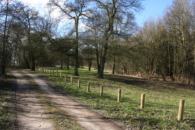
Coronation Wood is a picturesque forest located in Lincolnshire, England. Covering an area of approximately 100 acres, this woodland is known for its lush greenery, diverse wildlife, and tranquil atmosphere. Situated near the village of Woodhall Spa, Coronation Wood offers a peaceful retreat for nature enthusiasts and outdoor lovers.
The woodland is characterized by its dense canopy of trees, predominantly consisting of native species such as oak, beech, and birch. These towering trees provide a haven for various bird species, including woodpeckers, owls, and songbirds, making it a popular spot for birdwatching. The forest floor is adorned with a carpet of wildflowers and ferns, adding to the natural beauty of the area.
Coronation Wood is crisscrossed by a network of walking trails, allowing visitors to explore the forest and take in its enchanting scenery. These trails range in difficulty, catering to both casual walkers and more experienced hikers. Along the way, visitors may come across hidden ponds, babbling brooks, and charming wooden bridges, adding to the sense of adventure.
The woodland is also home to a diverse array of wildlife, including deer, rabbits, squirrels, and foxes. Nature enthusiasts can often spot these animals while exploring the forest, especially during the early morning or late afternoon when they are most active.
Overall, Coronation Wood is a natural gem in Lincolnshire, offering a peaceful escape for those seeking solace in nature. Whether it's a leisurely stroll, birdwatching, or simply enjoying the tranquility of the surroundings, this woodland provides a delightful experience for visitors of all ages.
If you have any feedback on the listing, please let us know in the comments section below.
Coronation Wood Images
Images are sourced within 2km of 52.889226/-0.56502964 or Grid Reference SK9633. Thanks to Geograph Open Source API. All images are credited.


Coronation Wood is located at Grid Ref: SK9633 (Lat: 52.889226, Lng: -0.56502964)
Administrative County: Lincolnshire
District: South Kesteven
Police Authority: Lincolnshire
What 3 Words
///decanter.dolphins.bluff. Near Grantham, Lincolnshire
Nearby Locations
Related Wikis
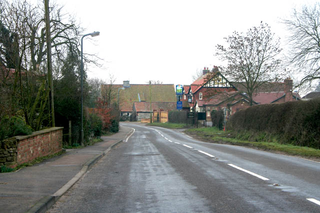
Old Somerby
Old Somerby (pronounced Summerby) is a village and civil parish in the South Kesteven district of Lincolnshire, England, 3 miles (5 km) south-east of Grantham...
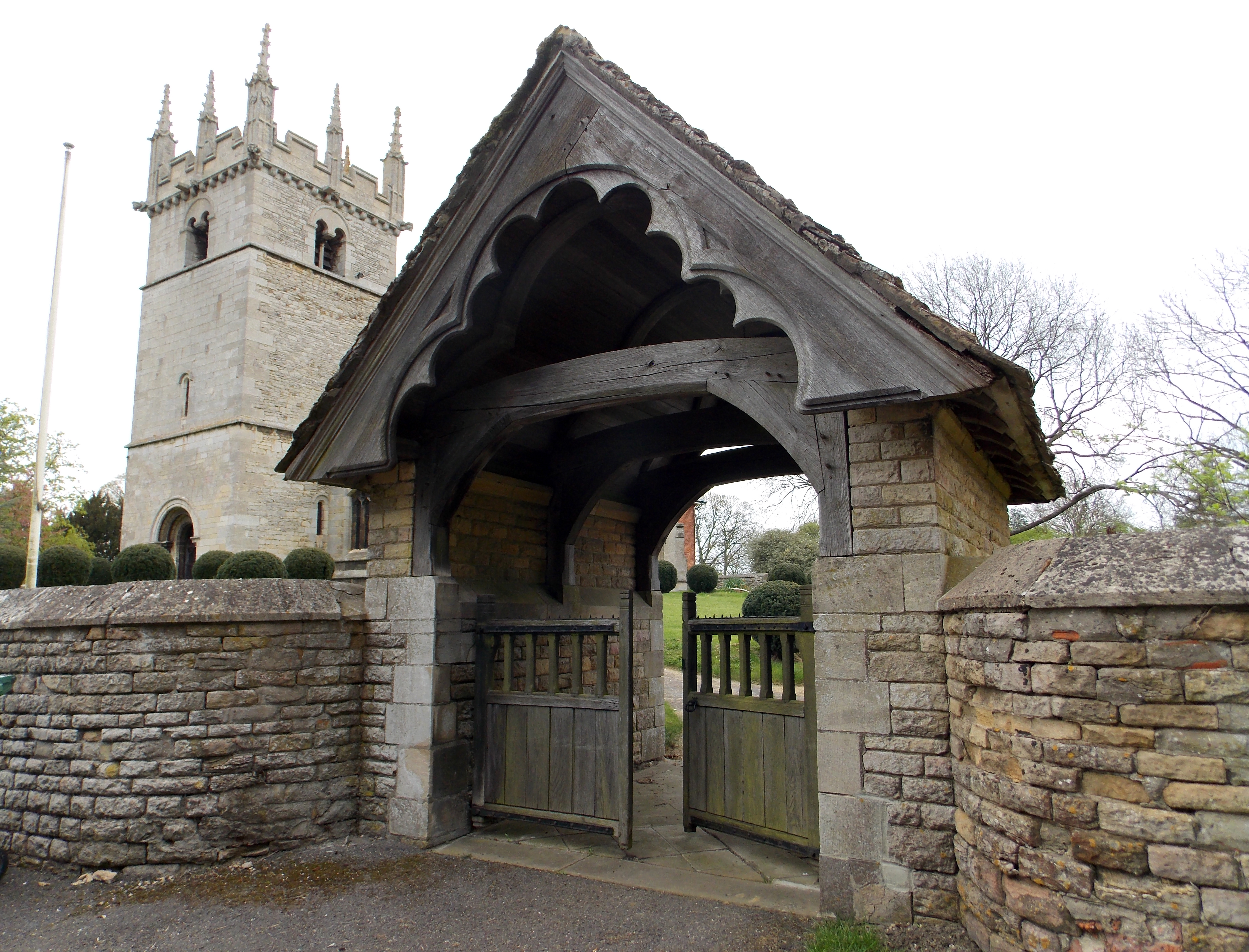
Boothby Pagnell
Boothby Pagnell is a village and civil parish in the South Kesteven district of Lincolnshire, England. The population is now included in the civil parish...

Great Humby
Great Humby is a hamlet in the South Kesteven district of Lincolnshire, England. It lies in the civil parish of Ropsley and Humby, 6 miles (9.7 km) east...
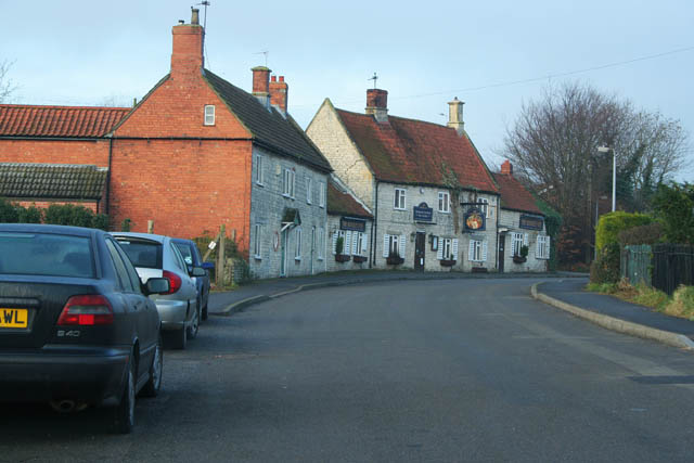
Ropsley
Ropsley is a village in the South Kesteven district of Lincolnshire, England. The village is situated approximately 5 miles (8 km) east from Grantham,...
Have you been to Coronation Wood?
Leave your review of Coronation Wood below (or comments, questions and feedback).