Cornhill, Old

Settlement in Banffshire

Scotland

Cornhill, Old

New House south of road.
New House south of road. Credit: Alex McGregor

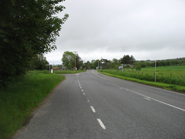
Cornhill is a small village located in the historic county of Banffshire, Scotland. Situated in the northeastern part of the country, it lies on the banks of the River Deveron, just a few miles southwest of the town of Banff.

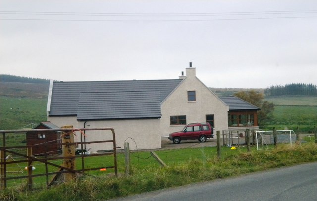
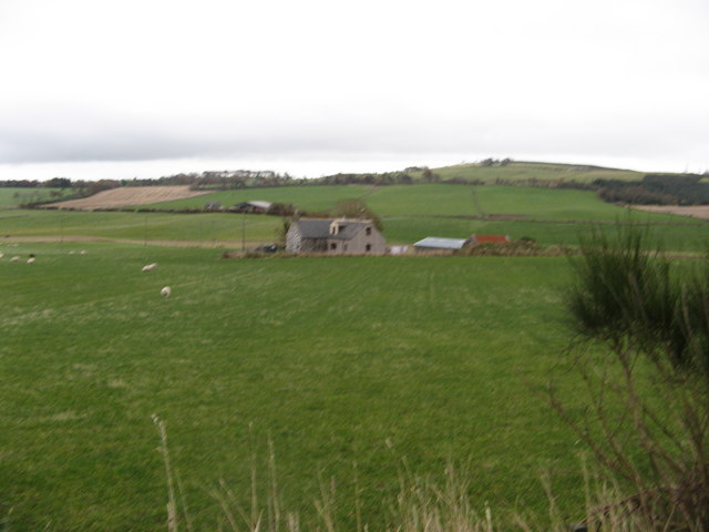
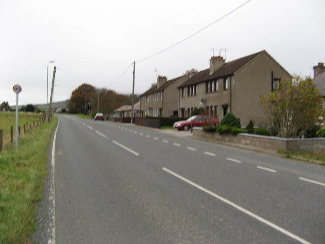
The village of Cornhill is known for its picturesque setting, surrounded by rolling green hills and lush farmland, which is characteristic of the rural landscapes of this region of Scotland. The village itself has a charming and traditional atmosphere, with a collection of well-preserved stone buildings that date back several centuries.

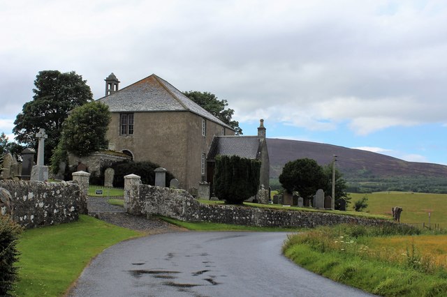
One of the notable landmarks in Cornhill is the Cornhill Castle, a 16th-century tower house that stands proudly at the heart of the village. This historic castle has been meticulously restored and is now a private residence, adding to the village's architectural appeal.

The village is also home to a small but tight-knit community, with a population of around 400 residents. The locals take great pride in their village and actively participate in various community events and organizations. There are a few amenities in Cornhill, including a primary school, a church, and a village hall that serves as a hub for social gatherings and activities.

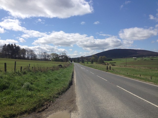
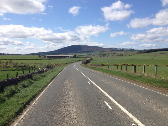
Cornhill is ideally situated for outdoor enthusiasts, with numerous walking trails and cycling routes in the surrounding countryside. The nearby River Deveron offers opportunities for fishing, and the coastline is just a short drive away, providing access to stunning beaches and scenic coastal walks.

In summary, Cornhill is a charming and historic village in Banffshire, Scotland, offering a peaceful rural setting, a rich architectural heritage, and easy access to outdoor activities for residents and visitors alike.

If you have any feedback on the listing, please let us know in the comments section below.

Cornhill, Old Images

Images are sourced within 2km of 57.591968/-2.7209486 or Grid Reference NJ5756. Thanks to Geograph Open Source API. All images are credited.

New House south of road.
Ordnance Survey  Flush Bracket G939 This partially buried bracket can be found on a building at Glen Barry.
For more detail see : <span class="nowrap"><a title="http://www.bench-marks.org.uk/bm622" rel="nofollow ugc noopener" href="http://www.bench-marks.org.uk/bm622">Link</a><img style="margin-left:2px;" alt="External link" title="External link - shift click to open in new window" src="https://s1.geograph.org.uk/img/external.png" width="10" height="10"/></span>
Ordnance Survey Flush Bracket G939
This partially buried bracket can be found on a building at Glen Barry. For more detail see : LinkExternal link
Minor road near Greendykes
Minor road near Whitewells
Ordiquhill Kirk
Ordiquhill Kirk
Minor road near Ordiquhill
A95 near Gordonstown
A95 passing through Gordonstown
Windfarm on Culviehill The windfram on Culviehill
Windfarm on Culviehill
The windfram on Culviehill
Road towards Swilebog
The A95 in Gordonstown, heading for Banff The B9022 for Portsoy goes off to the left.
The A95 in Gordonstown, heading for Banff
The B9022 for Portsoy goes off to the left.
Ordiquhill Kirk The church and churchyard of Ordiquhill.
Ordiquhill Kirk
The church and churchyard of Ordiquhill.
Capercailzie Cottage The cottage is now known as Capercailzie Cottage although the OS map shows it as Little Claymires.
Capercailzie Cottage
The cottage is now known as Capercailzie Cottage although the OS map shows it as Little Claymires.
Gordonstown A hamlet on the A95 road to Banff.
Gordonstown
A hamlet on the A95 road to Banff.
Ordiequhill Church The church is situated near Gordonstown.
Ordiequhill Church
The church is situated near Gordonstown.
Newpark Farm The farm is situated near Cornhill and Gordonstown.
Newpark Farm
The farm is situated near Cornhill and Gordonstown.
Starmires Farm Another farm near Cornhill and Gordonstown. Compare with <a href="https://www.geograph.org.uk/photo/1721298">NJ5855 : Starmires</a> taken February 2010.
Starmires Farm
Another farm near Cornhill and Gordonstown. Compare with NJ5855 : Starmires taken February 2010.
Show me another place!

Cornhill, Old is located at Grid Ref: NJ5756 (Lat: 57.591968, Lng: -2.7209486)

Unitary Authority: Aberdeenshire

Police Authority: North East

What 3 Words

///lottery.crumple.hopeless. Near Aberchirder, Aberdeenshire

Related Wikis

Glenbarry railway station

Glenbarry railway station, previously known as Barry was an intermediate stop with a passing loop situated on the Great North of Scotland Railway (GNoSR...

Castle of Park (Aberdeenshire)

Park or Castle of Park, is an A-listed rambling baronial mansion incorporating a 16th-century tower house. It is 4 miles (6.4 km) north-west of Aberchirder...

Cornhill, Aberdeenshire

Cornhill (Scottish Gaelic: Cnoc an Arbhair) is a small village close to Banff, Aberdeenshire, Scotland. It lies 5 miles (8.0 km) to the south of Portsoy...

Cornhill railway station

Cornhill railway station was an intermediate stop situated on the Great North of Scotland Railway (GNoSR) line from Cairnie Junction to Tillynaught. There...

Nearby Amenities

Located within 500m of 57.591968,-2.7209486
Power: pole
Lat/Long: 57.5888422/-2.7244532
Power: pole
Lat/Long: 57.5891707/-2.7242539
Power: pole
Lat/Long: 57.5896245/-2.7240576
Power: pole
Lat/Long: 57.5900902/-2.7238614
Power: pole
Lat/Long: 57.5905841/-2.7236531
Power: pole
Lat/Long: 57.5908098/-2.7230957
Power: pole
Lat/Long: 57.5910338/-2.7225278
Power: pole
Lat/Long: 57.5914619/-2.7220573
Power: pole
Lat/Long: 57.5925644/-2.7160144
Power: pole
Lat/Long: 57.5923765/-2.7167067
Power: pole
Lat/Long: 57.5921316/-2.7175832
Power: pole
Lat/Long: 57.5917959/-2.7188194
Power: pole
Lat/Long: 57.5914627/-2.7200241
Power: pole
Lat/Long: 57.591233/-2.7208586
Power: pole
Lat/Long: 57.5916394/-2.7229953
Power: pole
Lat/Long: 57.5918273/-2.7239558
Power: pole
Lat/Long: 57.5920023/-2.7249297
Power: pole
Lat/Long: 57.5922874/-2.7260505
Power: pole
Lat/Long: 57.5925982/-2.7272387
Power: pole
Lat/Long: 57.5928969/-2.7284419
Power: pole
Lat/Long: 57.5938918/-2.7226717
Power: pole
Lat/Long: 57.5936011/-2.7220798
Power: pole
Lat/Long: 57.593247/-2.7216723
Power: pole
Lat/Long: 57.5929475/-2.7213231
Power: pole
Lat/Long: 57.5926109/-2.7209133
Power: pole
Lat/Long: 57.5938204/-2.7214715
Power: pole
Lat/Long: 57.5940283/-2.7208901
Power: pole
Lat/Long: 57.5942251/-2.7203387
Power: pole
Lat/Long: 57.5944507/-2.7196689
Power: pole
Lat/Long: 57.5918136/-2.7216768
Power: pole
Lat/Long: 57.5921214/-2.7213606
The data included in this document is from www.openstreetmap.org. The data is made available under ODbL.

Have you been to Cornhill, Old?

Leave your review of Cornhill, Old below (or comments, questions and feedback).