Corn Hill

Hill, Mountain in Banffshire

Scotland

Corn Hill

New House south of road.
New House south of road. Credit: Alex McGregor

Corn Hill is a prominent hill located in the region of Banffshire, Scotland. Rising to an elevation of 573 meters (1,880 feet), it is a notable landmark in the area and offers breathtaking views of the surrounding countryside. Situated in the southern foothills of the Cairngorms National Park, Corn Hill is part of the Grampian Mountain range.

The hill features a distinctive shape with a rounded summit and steep slopes covered in heather and grasses. It is a popular destination for hikers and outdoor enthusiasts who are drawn to its natural beauty and challenging terrain. Several trails lead to the summit, offering different levels of difficulty for all types of walkers.

At the top of Corn Hill, visitors are rewarded with panoramic vistas that extend across the rolling hills, fertile farmland, and picturesque villages of Banffshire. On clear days, it is even possible to catch a glimpse of the North Sea coastline in the distance. The hill is also home to an array of wildlife, including red deer, mountain hares, and various bird species, making it a haven for nature lovers.

Corn Hill holds historical significance as well, with remnants of ancient settlements and burial cairns scattered throughout its slopes. These archaeological sites provide insight into the area's rich past and cultural heritage.

Overall, Corn Hill stands as a majestic peak in Banffshire, offering visitors an opportunity to immerse themselves in the natural beauty and history of the region while enjoying a challenging and rewarding outdoor experience.

If you have any feedback on the listing, please let us know in the comments section below.
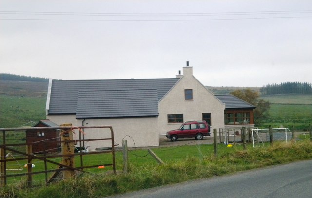
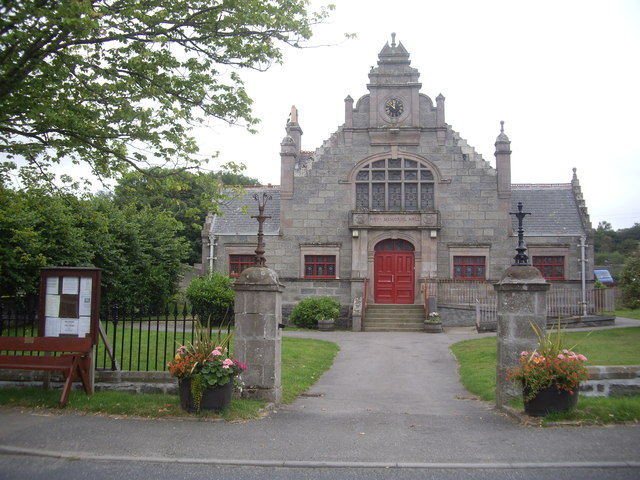
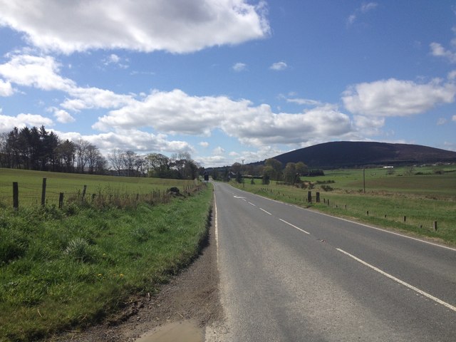
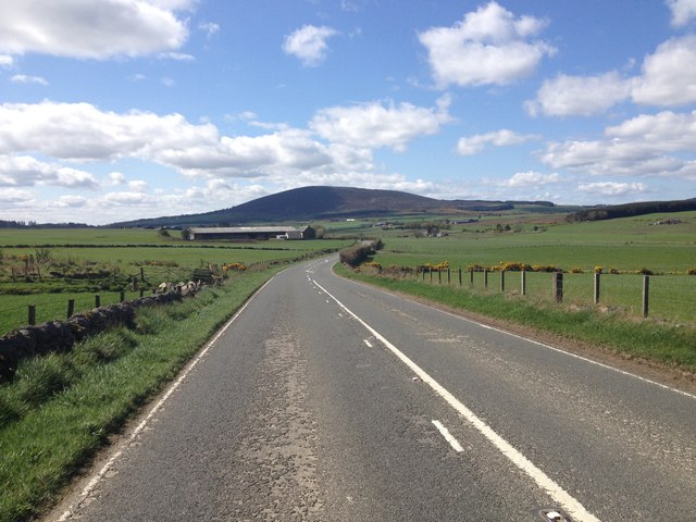
Corn Hill Images

Images are sourced within 2km of 57.595023/-2.7049321 or Grid Reference NJ5756. Thanks to Geograph Open Source API. All images are credited.

New House south of road.
The Hay Memorial Hall, Cornhill By the A95. See <span class="nowrap"><a title="http://www.britishlistedbuildings.co.uk/sc-18788-cornhill-mid-street-hay-memorial-hall-and" rel="nofollow ugc noopener" href="http://www.britishlistedbuildings.co.uk/sc-18788-cornhill-mid-street-hay-memorial-hall-and">Link</a><img style="margin-left:2px;" alt="External link" title="External link - shift click to open in new window" src="https://s1.geograph.org.uk/img/external.png" width="10" height="10"/></span>
The Hay Memorial Hall, Cornhill
By the A95. See LinkExternal link
Hay Memorial Hall Built 1893 with funds provided by Wm Hay, a village emigre to Australia.
Hay Memorial Hall
Built 1893 with funds provided by Wm Hay, a village emigre to Australia.
Minor road near Cornhill
B9023 near Cornhill
B9023 near Cornhill
Estate road to Park
Estate road to Park
B9023 near Brooms
B9023 near Brooms
Road junction at Greendykes
Minor road near Greendykes
Minor road near Whitewells
Ordiquhill Kirk
Ordiquhill Kirk
Minor road near Ordiquhill
A95 near Gordonstown
A95 passing through Gordonstown
Windfarm on Culviehill The windfram on Culviehill
Windfarm on Culviehill
The windfram on Culviehill
Old Milestone by the B2093, south of Cornhill, Fordyce parish Aberdeen granite by the B9023, in parish of Fordyce (District), Southeast of Cornhill, near 'Bends' sign, on grass verge, East side of road.

Inscription reads:-
6
(To Portsoy)

Surveyed

Milestone Society National ID: AD_PSAC06
Old Milestone by the B2093, south of Cornhill, Fordyce parish
Aberdeen granite by the B9023, in parish of Fordyce (District), Southeast of Cornhill, near 'Bends' sign, on grass verge, East side of road. Inscription reads:- 6 (To Portsoy) Surveyed Milestone Society National ID: AD_PSAC06
Old Milestone by the B9023, north of Brooms, Fordyce parish Aberdeen granite by the B9023, in parish of Fordyce (District), North of Brooms, near tree and short wooden fence, East side of road.

Inscription reads:-
7
(To Portsoy)

Surveyed

Milestone Society National ID: AD_PSAC07
Old Milestone by the B9023, north of Brooms, Fordyce parish
Aberdeen granite by the B9023, in parish of Fordyce (District), North of Brooms, near tree and short wooden fence, East side of road. Inscription reads:- 7 (To Portsoy) Surveyed Milestone Society National ID: AD_PSAC07
Show me another place!

Corn Hill is located at Grid Ref: NJ5756 (Lat: 57.595023, Lng: -2.7049321)

Unitary Authority: Aberdeenshire

Police Authority: North East

What 3 Words

///belonged.ombudsman.browsers. Near Aberchirder, Aberdeenshire

Related Wikis

Castle of Park (Aberdeenshire)

Park or Castle of Park, is an A-listed rambling baronial mansion incorporating a 16th-century tower house. It is 4 miles (6.4 km) north-west of Aberchirder...

Cornhill, Aberdeenshire

Cornhill (Scottish Gaelic: Cnoc an Arbhair) is a small village close to Banff, Aberdeenshire, Scotland. It lies 5 miles (8.0 km) to the south of Portsoy...

Cornhill railway station

Cornhill railway station was an intermediate stop situated on the Great North of Scotland Railway (GNoSR) line from Cairnie Junction to Tillynaught. There...

Glenbarry railway station

Glenbarry railway station, previously known as Barry was an intermediate stop with a passing loop situated on the Great North of Scotland Railway (GNoSR...

Nearby Amenities

Located within 500m of 57.595023,-2.7049321
Corn Hill
Corbett: no
Ele: 216
Graham: no
Munro: no
Natural: peak
Lat/Long: 57.5951131/-2.7048685
Power: pole
Lat/Long: 57.5916794/-2.7003473
Power: pole
Lat/Long: 57.5923094/-2.7005973
Power: pole
Lat/Long: 57.5928933/-2.7008422
Power: pole
Lat/Long: 57.5935125/-2.7010939
Power: pole
Lat/Long: 57.5941172/-2.7013371
Power: pole
Lat/Long: 57.5947092/-2.7015753
Power: pole
Lat/Long: 57.5952976/-2.7018185
Power: pole
Lat/Long: 57.5959022/-2.7020618
Power: pole
Lat/Long: 57.5963675/-2.702001
Power: pole
Lat/Long: 57.5969975/-2.7018962
Power: pole
Lat/Long: 57.5976374/-2.7018118
Power: pole
Lat/Long: 57.5982674/-2.7016986
Power: pole
Lat/Long: 57.5989127/-2.7016125
Power: pole
Lat/Long: 57.5914585/-2.7009486
Power: pole
Lat/Long: 57.5912457/-2.7015635
Power: pole
Lat/Long: 57.5912322/-2.7025803
Power: pole
Lat/Long: 57.5911895/-2.7038797
Power: pole
Lat/Long: 57.5911643/-2.7052014
Power: pole
Lat/Long: 57.5911551/-2.7065573
Power: pole
Lat/Long: 57.5911451/-2.7078759
Power: pole
Lat/Long: 57.5958577/-2.7111426
Power: pole
Lat/Long: 57.5961567/-2.710254
Power: pole
Lat/Long: 57.5967344/-2.7087546
Power: pole
Lat/Long: 57.5971434/-2.7075924
Power: pole
Lat/Long: 57.5974654/-2.7066451
Power: pole
Lat/Long: 57.5975926/-2.7062829
Power: pole
Lat/Long: 57.5975951/-2.7053266
Power: pole
Lat/Long: 57.5975798/-2.7042748
Power: pole
Lat/Long: 57.5971751/-2.7034911
Power: pole
Lat/Long: 57.5967504/-2.7027135
Power: pole
Lat/Long: 57.5988002/-2.7032169
Power: pole
Lat/Long: 57.5989078/-2.7039272
Power: pole
Lat/Long: 57.5990178/-2.7046554
The data included in this document is from www.openstreetmap.org. The data is made available under ODbL.

Have you been to Corn Hill?

Leave your review of Corn Hill below (or comments, questions and feedback).