Old Catton

Settlement in Norfolk Broadland

England

Old Catton

Hills and Hollows, Mousehold Heath A wooded area on the edge of Mousehold Heath which looks like it might have been quarries or claypits at one time.
Hills and Hollows, Mousehold Heath Credit: Des Blenkinsopp

The requested URL returned error: 429 Too Many Requests

If you have any feedback on the listing, please let us know in the comments section below.
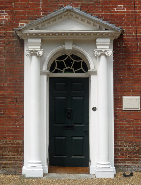
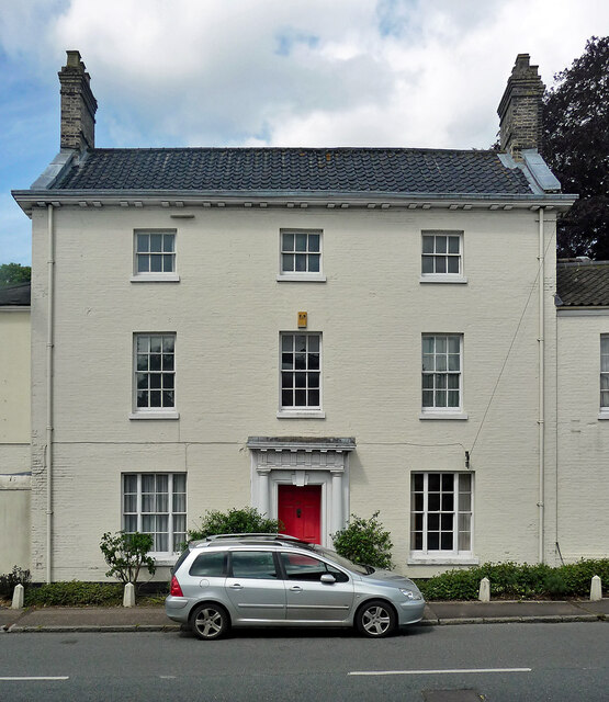
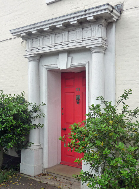
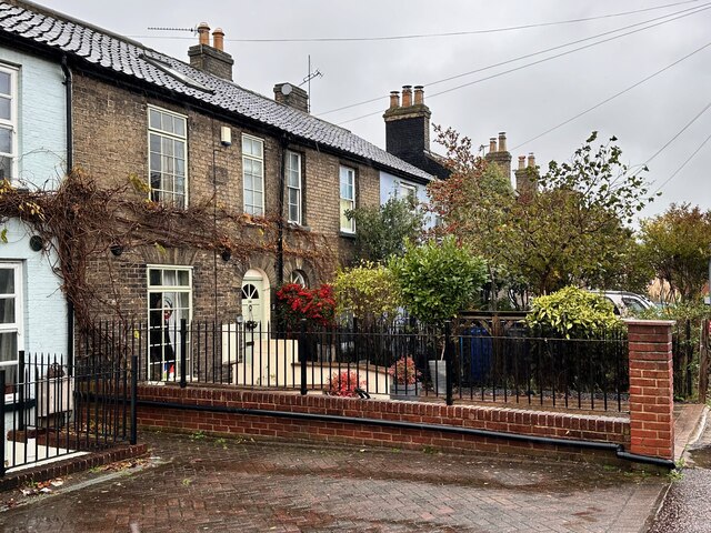
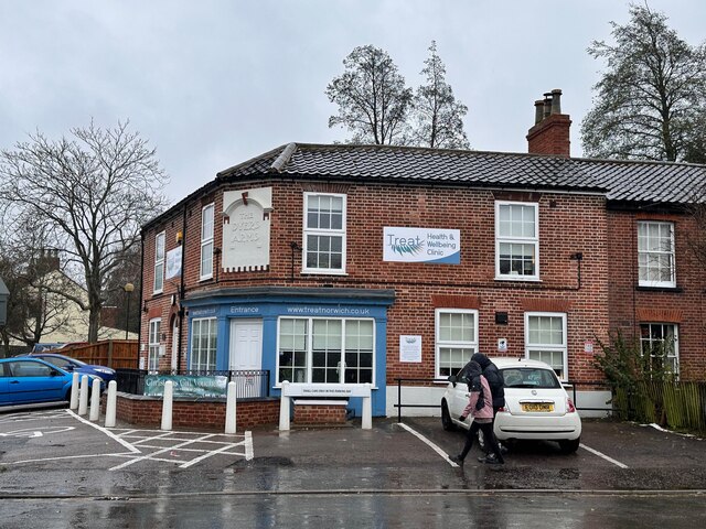
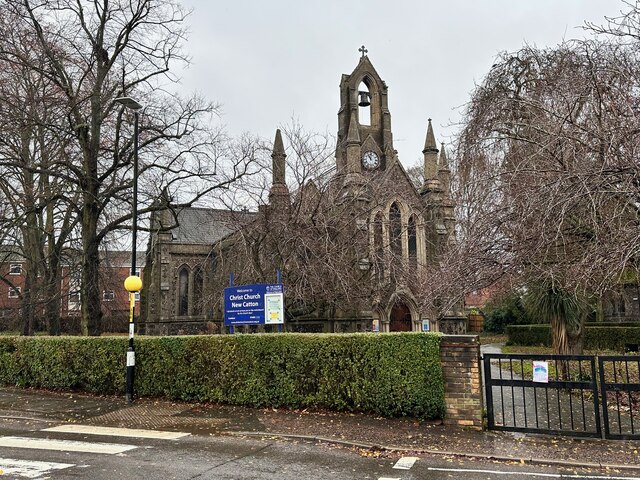
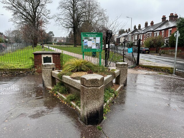
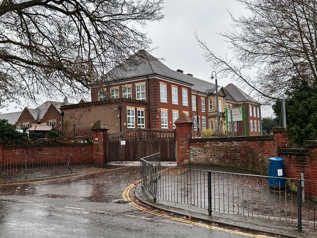
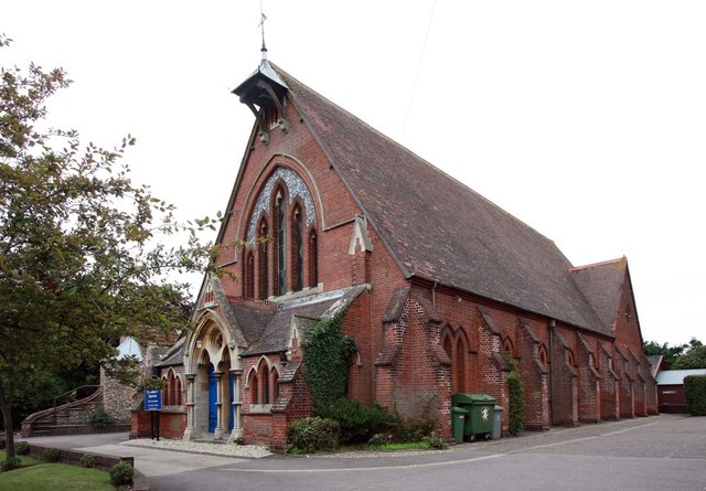
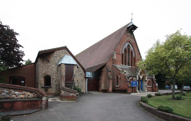
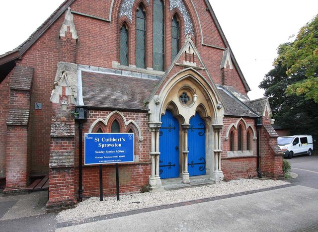
Old Catton Images

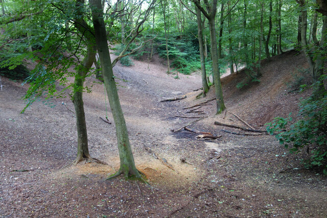
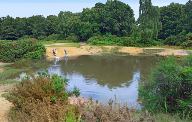
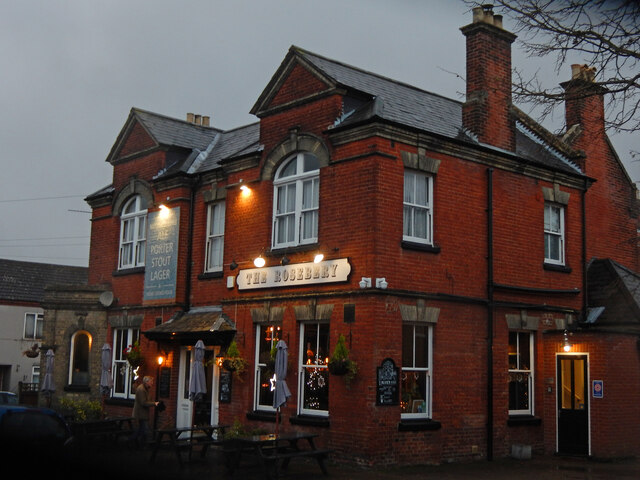
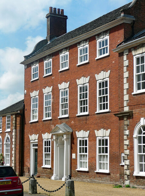
Images are sourced within 2km of 52.659287/1.298212 or Grid Reference TG2311. Thanks to Geograph Open Source API. All images are credited.

Hills and Hollows, Mousehold Heath A wooded area on the edge of Mousehold Heath which looks like it might have been quarries or claypits at one time.
Hills and Hollows, Mousehold Heath
A wooded area on the edge of Mousehold Heath which looks like it might have been quarries or claypits at one time.
Woodland, Mousehold Heath A surviving fragment of open space now surrounded by suburban Norwich.
"In Tudor times, Mousehold Heath stretched as far north as South Walsham and was 22 miles round. The surviving remnant of the heath was given to Norwich City Council (then known as the local corporation) to look after on behalf of the citizens of Norwich in 1880." quoted from <span class="nowrap"><a title="https://www.norwich.gov.uk/info/20006/sports_parks_and_leisure/1534/about_mousehold_heath" rel="nofollow ugc noopener" href="https://www.norwich.gov.uk/info/20006/sports_parks_and_leisure/1534/about_mousehold_heath">Link</a><img style="margin-left:2px;" alt="External link" title="External link - shift click to open in new window" src="https://s1.geograph.org.uk/img/external.png" width="10" height="10"/></span>
Woodland, Mousehold Heath
A surviving fragment of open space now surrounded by suburban Norwich. "In Tudor times, Mousehold Heath stretched as far north as South Walsham and was 22 miles round. The surviving remnant of the heath was given to Norwich City Council (then known as the local corporation) to look after on behalf of the citizens of Norwich in 1880." quoted from LinkExternal link
The Vinegar Pond, Mousehold Heath The pond gets its name from the occasional red algae bloom turning the water a vinegar like colour.  A long article about the pond and the heath is on <span class="nowrap"><a title="https://www.invisibleworks.co.uk/norwich-the-vinegar-pond/" rel="nofollow ugc noopener" href="https://www.invisibleworks.co.uk/norwich-the-vinegar-pond/">Link</a><img style="margin-left:2px;" alt="External link" title="External link - shift click to open in new window" src="https://s1.geograph.org.uk/img/external.png" width="10" height="10"/></span>
The Vinegar Pond, Mousehold Heath
The pond gets its name from the occasional red algae bloom turning the water a vinegar like colour. A long article about the pond and the heath is on LinkExternal link
Track on Mousehold Heath Mousehold Heath is an 88 hectare remnant of formerly extensive heathland which was given to Norwich City Council in 1880.
It is now surrounded by suburban development.
<span class="nowrap"><a title="https://www.norwich.gov.uk/info/20006/sports_parks_and_leisure/1534/about_mousehold_heath" rel="nofollow ugc noopener" href="https://www.norwich.gov.uk/info/20006/sports_parks_and_leisure/1534/about_mousehold_heath">Link</a><img style="margin-left:2px;" alt="External link" title="External link - shift click to open in new window" src="https://s1.geograph.org.uk/img/external.png" width="10" height="10"/></span>
Track on Mousehold Heath
Mousehold Heath is an 88 hectare remnant of formerly extensive heathland which was given to Norwich City Council in 1880. It is now surrounded by suburban development. LinkExternal link
The Rosebery, New Catton Light is rapidly fading on this December afternoon but the fine old Victorian pub looks inviting. It was formerly known as the Lord Rosebery, named after Archibald Primrose who was Liberal Prime Minister between 1894 and 1895.
The Rosebery, New Catton
Light is rapidly fading on this December afternoon but the fine old Victorian pub looks inviting. It was formerly known as the Lord Rosebery, named after Archibald Primrose who was Liberal Prime Minister between 1894 and 1895.
The Firs, Old Catton A very fine mid/late C18th house in five bays and three storeys. Rusticated lintels to the windows and good Ionic doorcase (<a href="https://www.geograph.org.uk/photo/7454374">TG2311 : Detail of The Firs, Old Catton</a>). Grade II* listed.
The Firs, Old Catton
A very fine mid/late C18th house in five bays and three storeys. Rusticated lintels to the windows and good Ionic doorcase (TG2311 : Detail of The Firs, Old Catton). Grade II* listed.
Detail of The Firs, Old Catton Good Ionic doorcase to this house: <a href="https://www.geograph.org.uk/photo/7454371">TG2311 : The Firs, Old Catton</a>.
Detail of The Firs, Old Catton
Good Ionic doorcase to this house: TG2311 : The Firs, Old Catton.
81 Spixworth Road, Old Catton A well-proportioned late C18th house in three bays and storeys with a good doorcase (<a href="https://www.geograph.org.uk/photo/7454378">TG2311 : Detail of 81 Spixworth Road, Old Catton</a>). Grade II listed.
81 Spixworth Road, Old Catton
A well-proportioned late C18th house in three bays and storeys with a good doorcase (TG2311 : Detail of 81 Spixworth Road, Old Catton). Grade II listed.
Detail of 81 Spixworth Road, Old Catton Rather a grand Doric doorcase to this house: <a href="https://www.geograph.org.uk/photo/7454376">TG2311 : 81 Spixworth Road, Old Catton</a>.
Detail of 81 Spixworth Road, Old Catton
Rather a grand Doric doorcase to this house: TG2311 : 81 Spixworth Road, Old Catton.
Police station, Sprowston On Wroxham Road. A period piece, 1950s neo-Georgian.
This may no longer be operational as police forces increasingly centralise facilities in order to keep costs down.
Police station, Sprowston
On Wroxham Road. A period piece, 1950s neo-Georgian. This may no longer be operational as police forces increasingly centralise facilities in order to keep costs down.
Alderford Terrace, Magdalen Road, Norwich Some early 19th century cottages along Magdalen Road, Norwich. An OS Map from the 1880s tells me this row is called Alderford Terrace but I am not sure if the name is still in use today.
Alderford Terrace, Magdalen Road, Norwich
Some early 19th century cottages along Magdalen Road, Norwich. An OS Map from the 1880s tells me this row is called Alderford Terrace but I am not sure if the name is still in use today.
The Dyers Arms, Magdalen Road, Norwich Sadly no longer a PH having closed around 2019. The former Dyers Arms has become a "health and wellbeing clinic". In 1986 the Norwich Society described it as an "unremarkable local".

<span class="nowrap"><a title="https://www.norfolkpubs.co.uk/norwich/gnorwich/ncgld.htm" rel="nofollow ugc noopener" href="https://www.norfolkpubs.co.uk/norwich/gnorwich/ncgld.htm">Link</a><img style="margin-left:2px;" alt="External link" title="External link - shift click to open in new window" src="https://s1.geograph.org.uk/img/external.png" width="10" height="10"/></span>
The Dyers Arms, Magdalen Road, Norwich
Sadly no longer a PH having closed around 2019. The former Dyers Arms has become a "health and wellbeing clinic". In 1986 the Norwich Society described it as an "unremarkable local". LinkExternal link
Christ Church, New Catton, Norwich A view across to Christ Church, New Catton in Norwich on a wet December morning. A rather striking church dating from 1842 and, apparently, pre-dating all of the housing which surrounds it. Simon Knott's excellent Norfolk Churches site seems to suggest it has a similarly striking mint green interior which I sadly did not get to see.

<span class="nowrap"><a title="http://www.norfolkchurches.co.uk/newcatton/newcatton.htm" rel="nofollow ugc noopener" href="http://www.norfolkchurches.co.uk/newcatton/newcatton.htm">Link</a><img style="margin-left:2px;" alt="External link" title="External link - shift click to open in new window" src="https://s1.geograph.org.uk/img/external.png" width="10" height="10"/></span>
Christ Church, New Catton, Norwich
A view across to Christ Church, New Catton in Norwich on a wet December morning. A rather striking church dating from 1842 and, apparently, pre-dating all of the housing which surrounds it. Simon Knott's excellent Norfolk Churches site seems to suggest it has a similarly striking mint green interior which I sadly did not get to see. LinkExternal link
Sewell Park, New Catton, Norwich The southern entrance to Sewell Park in New Catton. The handsome triangular drinking trough here can be seen on an OS Map from the late-19th century. A final stopping place before heading into the city centre perhaps.

A similarly handsome bronze plaque can be seen behind it describing how this open space was once used and loved by Philip Edward Sewell and is now dedicated to his memory.
Sewell Park, New Catton, Norwich
The southern entrance to Sewell Park in New Catton. The handsome triangular drinking trough here can be seen on an OS Map from the late-19th century. A final stopping place before heading into the city centre perhaps. A similarly handsome bronze plaque can be seen behind it describing how this open space was once used and loved by Philip Edward Sewell and is now dedicated to his memory.
Sewell Park Academy, Norwich As with many schools in Norfolk, this one has a long history of changing with the educational winds. It was opened in 1929 as Blyth Grammar School, it became a comprehensive school in 1971 and merged with Alderman Jex School to become Blyth-Jex School in 1972. In 2008, it became Sewell Park College and, in 2015, it became Sewell Park Academy. 

Apparently a whalebone, donated by a former student, stands in the grounds.
<a href="https://www.geograph.org.uk/photo/166094">TG2310 : Whale's Jawbone Arch in the grounds of Blyth Jex School</a>
Sewell Park Academy, Norwich
As with many schools in Norfolk, this one has a long history of changing with the educational winds. It was opened in 1929 as Blyth Grammar School, it became a comprehensive school in 1971 and merged with Alderman Jex School to become Blyth-Jex School in 1972. In 2008, it became Sewell Park College and, in 2015, it became Sewell Park Academy. Apparently a whalebone, donated by a former student, stands in the grounds. TG2310 : Whale's Jawbone Arch in the grounds of Blyth Jex School
St Cuthbert, Sprowston, Norwich
Show me another place!

Old Catton is located at Grid Ref: TG2311 (Lat: 52.659287, Lng: 1.298212)

Administrative County: Norfolk

District: Broadland

Police Authority: Norfolk

What 3 Words

///quite.ankle.statue. Near Spixworth, Norfolk

Related Wikis

Old Catton

Old Catton is a suburban village and civil parish in the English county of Norfolk which lies 2 miles (3.2 km) to the north-east of central Norwich. The...

Norwich North (UK Parliament constituency)

Norwich North is a constituency represented in the House of Commons of the UK Parliament since 2009 by Conservative Chloe Smith.The constituency includes...

Catton Grove Chalk Pit

Catton Grove Chalk Pit is a 0.6-hectare (1.5-acre) geological Site of Special Scientific Interest on the northern outskirts of Norwich in Norfolk. It is...

Sewell Park Academy

Sewell Park Academy is a secondary school located on the north-eastern edge of the city of Norwich, Norfolk, England. == Admissions == It has approximately...

Nearby Amenities

Located within 500m of 52.659287,1.298212
Mini Roundabout
Direction: clockwise
Lat/Long: 52.6620155/1.294486
Post Box
Collection Times: Mo-Fr 17:30; Sa 11:00
Operator: Royal Mail
Post Box Mounting: brick_pillar
Post Box Type: wall
Postal Code: NR6
Ref: NR6 627
Royal Cypher: GVIR
Royal Cypher Wikidata: Q33102169
Lat/Long: 52.6566181/1.303229
Post Box
Collection Times: Mo-Fr 18:00; Sa 11:00
Note: Inside a gate wall
Operator: Royal Mail
Postal Code: NR6
Ref: NR6 628
Lat/Long: 52.6621577/1.2981302
Post Box
Collection Times: Mo-Fr 17:30; Sa 11:00
Operator: Royal Mail
Post Box Type: wall
Postal Code: NR6
Ref: NR6 634
Lat/Long: 52.6591041/1.3014454
Bus Stop
The Hall School, adj
Naptan AtcoCode: 2900C1314
Naptan Bearing: S
Naptan CommonName: The Hall School
Naptan Indicator: adj
Naptan Locality: Old Catton
Naptan NaptanCode: nfoajgaj
Naptan PlusbusZoneRef: NRCH
Naptan Street: St Faiths Road
Naptan Verified: no
Note: Bearing should be SE
Shelter: no
Source: naptan_import
Lat/Long: 52.6611915/1.293659
Bus Stop
The Hall School, opp
Naptan AtcoCode: 2900C1315
Naptan Bearing: N
Naptan CommonName: The Hall School
Naptan Indicator: opp
Naptan Locality: Old Catton
Naptan NaptanCode: nfoajgam
Naptan PlusbusZoneRef: NRCH
Naptan Street: St Faiths Road
Naptan Verified: no
Note: Should be NW bearing
Shelter: no
Source: naptan_import
Lat/Long: 52.6614399/1.2937813
Bus Stop
Church Street, adj
Naptan AtcoCode: 2900C1333
Naptan Bearing: S
Naptan CommonName: Church Street
Naptan Indicator: adj
Naptan Locality: Old Catton
Naptan NaptanCode: nfoajgmd
Naptan PlusbusZoneRef: NRCH
Naptan Street: St Faiths Road
Naptan Verified: no
Source: naptan_import
Lat/Long: 52.6630131/1.2954233
Bus Stop
Church Street, opp
Bench: no
Naptan AtcoCode: 2900C1334
Naptan Bearing: N
Naptan CommonName: Church Street
Naptan Indicator: opp
Naptan Locality: Old Catton
Naptan NaptanCode: nfoajgmg
Naptan PlusbusZoneRef: NRCH
Naptan Street: St Faiths Road
Naptan Verified: no
Shelter: no
Source: naptan_import
Lat/Long: 52.6630344/1.2953066
Bus Stop
Lucerne Close, opp
Naptan AtcoCode: 2900C1335
Naptan Bearing: W
Naptan CommonName: Lucerne Close
Naptan Indicator: opp
Naptan Landmark: Beeches Close
Naptan Locality: Old Catton
Naptan NaptanCode: nfoajgmj
Naptan PlusbusZoneRef: NRCH
Naptan Street: George Hill
Naptan Verified: no
Source: naptan_import
Lat/Long: 52.65667/1.3032579
Bus Stop
Maids Head, adj
Naptan AtcoCode: 2900C1336
Naptan Bearing: N
Naptan CommonName: Maids Head
Naptan Indicator: adj
Naptan Landmark: Maids Head
Naptan Locality: Old Catton
Naptan NaptanCode: nfoajgmp
Naptan PlusbusZoneRef: NRCH
Naptan Street: Spixworth Road
Naptan Verified: no
Source: naptan_import
Lat/Long: 52.658862/1.3014117
Bus Stop
George Hill, adj
Bench: no
Naptan AtcoCode: 2900C1337
Naptan Bearing: N
Naptan CommonName: George Hill
Naptan Indicator: adj
Naptan Landmark: George Hill
Naptan Locality: Old Catton
Naptan NaptanCode: nfoajgmt
Naptan PlusbusZoneRef: NRCH
Naptan Street: Spixworth Road
Naptan Verified: no
Shelter: no
Source: naptan_import
Tactile Paving: yes
Lat/Long: 52.6574382/1.3015114
Bus Stop
Maids Head
Naptan AtcoCode: 2900C1338
Naptan Bearing: S
Naptan CommonName: Maids Head
Naptan Indicator: opp
Naptan Locality: Old Catton
Naptan NaptanCode: nfoajgmw
Naptan PlusbusZoneRef: NRCH
Naptan Street: Spixworth Road
Shelter: yes
Source: naptan_import
Lat/Long: 52.6607225/1.3024248
Bus Stop
Burma Road
Naptan AtcoCode: 2900C1339
Naptan Bearing: NE
Naptan CommonName: Burma Road
Naptan Indicator: opp
Naptan Locality: Old Catton
Naptan NaptanCode: nfoajgpa
Naptan PlusbusZoneRef: NRCH
Naptan Street: Spixworth Road
Shelter: no
Source: naptan_import
Lat/Long: 52.6614959/1.3027494
Bus Stop
Lucerne Close, adj
Naptan AtcoCode: 2900C1343
Naptan Bearing: SE
Naptan CommonName: Lucerne Close
Naptan Indicator: adj
Naptan Locality: Old Catton
Naptan NaptanCode: nfogptpm
Naptan PlusbusZoneRef: NRCH
Naptan Street: George Hill
Naptan Verified: no
Source: naptan_import
Lat/Long: 52.6566895/1.3035256
Bus Stop
Bussey Road, opp
Naptan AtcoCode: 2900N12167
Naptan Bearing: S
Naptan CommonName: Bussey Road
Naptan Indicator: opp
Naptan Landmark: Layby
Naptan Locality: Fiddlewood
Naptan NaptanCode: nfodjajp
Naptan PlusbusZoneRef: NRCH
Naptan Street: Fiddlewood Road
Naptan Verified: no
Source: naptan_import
Lat/Long: 52.6584235/1.2909955
Spindle Road, adj
Naptan AtcoCode: 2900N12537
Naptan Bearing: N
Naptan BusStopType: CUS
Naptan CommonName: Spindle Road
Naptan Indicator: adj
Naptan Locality: Fiddlewood
Naptan NaptanCode: nfodmawa
Naptan PlusbusZoneRef: NRCH
Naptan Street: St. Faiths Road
Naptan Verified: no
Source: naptan_import
Lat/Long: 52.6566201/1.2924573
Bus Stop
Fiddlewood Road, adj
Bench: no
Bin: no
Naptan AtcoCode: 2900N12539
Naptan Bearing: N
Naptan CommonName: Fiddlewood Road
Naptan Indicator: adj
Naptan Landmark: Fiddlewood Road
Naptan Locality: Norwich
Naptan NaptanCode: nfodmawg
Naptan PlusbusZoneRef: NRCH
Naptan Street: St Faiths Road
Naptan Verified: no
Shelter: no
Source: naptan_import
Lat/Long: 52.6588896/1.2923469
Turning Circle
Lat/Long: 52.656282/1.302714
Crossing
Crossing: uncontrolled
Lat/Long: 52.6566629/1.3037585
Barrier: bollard
Foot: yes
Lat/Long: 52.658638/1.302523
Barrier: bollard
Foot: yes
Lat/Long: 52.658497/1.303961
Crossing
Crossing: unmarked
Crossing Island: no
Lat/Long: 52.659424/1.3019354
Traffic Calming: bump
Lat/Long: 52.6557676/1.2962043
Traffic Calming: bump
Lat/Long: 52.6557371/1.2959622
Barrier: lych_gate
Foot: yes
Material: wood
Lat/Long: 52.6625722/1.2969236
Crossing
Lat/Long: 52.6614723/1.3001731
Traffic Calming: bump
Lat/Long: 52.6614128/1.3013468
Traffic Calming: bump
Lat/Long: 52.6616046/1.3014601
Parking
Fee: no
Parking: surface
Lat/Long: 52.6627038/1.2992162
Traffic Calming: bump
Lat/Long: 52.661727/1.3015282
Traffic Calming: bump
Lat/Long: 52.6604617/1.2937649
Traffic Calming: bump
Lat/Long: 52.6604984/1.2935322
Barrier: kissing_gate
Foot: yes
Lat/Long: 52.6558076/1.2962461
Waste Basket
Lat/Long: 52.6558879/1.296218
Waste Basket
Lat/Long: 52.6599559/1.3018056
Historic: memorial
Memorial: war_memorial
Lat/Long: 52.6603046/1.3023461
Crossing
Crossing: traffic_signals
Crossing Ref: puffin
Tactile Paving: yes
Lat/Long: 52.6611802/1.3026078
Barrier: kissing_gate
Lat/Long: 52.661431/1.3000663
Barrier: kissing_gate
Foot: yes
Lat/Long: 52.6581919/1.2925098
Waste Basket
Lat/Long: 52.6603028/1.3019631
Barrier: kissing_gate
Lat/Long: 52.6602659/1.3020177
Bench
Backrest: no
Material: wood
Seats: 3
Lat/Long: 52.6591748/1.293066
Barrier: kissing_gate
Foot: yes
Lat/Long: 52.6568387/1.2925924
Entrance: main
Lat/Long: 52.6627075/1.2969847
Entrance: yes
Lat/Long: 52.6627086/1.2971955
Bench
Backrest: yes
Colour: brown
Material: wood
Lat/Long: 52.6624965/1.2967891
Bench
Backrest: yes
Colour: brown
Inscription: yes
Material: wood
Lat/Long: 52.6624088/1.2971766
Old Catton
Colour: black
Man Made: village_sign
Material: metal
Lat/Long: 52.6624218/1.297129
Priority: equal
Lat/Long: 52.6624054/1.2990073
Bench
Backrest: yes
Colour: brown
Inscription: yes
Material: wood
Lat/Long: 52.6630454/1.2973792
Bench
Backrest: yes
Colour: grey
Material: wood
Lat/Long: 52.662703/1.2971572
Description: WW2 Spigot mortar base (only the base remains visible I'm not sure of the exact location, it's just under the trees).
Historic: ruins
Military: spigot_mortar_base
Website: http://www.heritage.norfolk.gov.uk/record-details?MNF32541-Spigot-mortar-base-and-tank-trap&Index=29770&RecordCount=57339&SessionID=0c428c86-9fe8-468a-a5d9-91d6c6bec5ca
Lat/Long: 52.6595696/1.3004924
Bench
Backrest: yes
Seats: 3
Lat/Long: 52.6563468/1.2949866
Leisure: picnic_table
Lat/Long: 52.6562508/1.2950751
Leisure: picnic_table
Lat/Long: 52.6562882/1.2949222
Bench
Backrest: no
Material: wood
Seats: 3
Lat/Long: 52.659185/1.2931184
Bench
Backrest: yes
Seats: 3
Lat/Long: 52.6621288/1.3017324
Leisure: fitness_station
Lat/Long: 52.6624492/1.3019308
Shelter
Shelter Type: gazebo
Lat/Long: 52.6604046/1.291641
Shelter
Shelter Type: gazebo
Lat/Long: 52.6603529/1.2912035
Man Made: obelisk
Lat/Long: 52.6579422/1.2913266
Waste Basket
Colour: green
Material: plastic
Lat/Long: 52.6583753/1.2910121
Waste Basket
Lat/Long: 52.660023/1.2910353
Crossing
Crossing: unmarked
Lat/Long: 52.6628714/1.299997
Location: indoor
Power: transformer
Transformer: distribution
Lat/Long: 52.6572642/1.3011238
Bicycle Parking
Bicycle Parking: stands
Capacity: 4
Covered: no
Lat/Long: 52.6557669/1.2962957
Barrier: cycle_barrier
Lat/Long: 52.6611517/1.3037158
Defibrillator
Defibrillator Location: On outside wall of Catton Recreation Ground Pavilion, facing the car park.
Emergency: defibrillator
Ref GB The Circuit: 1666632F-287E-459A-8F64-B04B00D91066
Lat/Long: 52.6622786/1.3021753
Leisure: pitch
Sport: table_tennis
Lat/Long: 52.6623191/1.3018276
Leisure: fitness_station
Lat/Long: 52.6625282/1.3020153
Leisure: fitness_station
Lat/Long: 52.6624907/1.3019966
Leisure: fitness_station
Lat/Long: 52.6624623/1.3019791
Note: Finish of Catton parkrun
Lat/Long: 52.656455/1.2948377
Note: Start of Catton parkrun
Lat/Long: 52.6567014/1.2939996
The Grange
Addr City: Norwich
Addr Housenumber: 62A
Addr Postcode: NR6 7NF
Addr Street: Spixworth Road
Building: yes
Shop: beauty
Website: https://thegrangenorwich.co.uk/
Lat/Long: 52.6564909/1.3016018
The data included in this document is from www.openstreetmap.org. The data is made available under ODbL.

Have you been to Old Catton?

Leave your review of Old Catton below (or comments, questions and feedback).