Bridge of Tilt, Old

Settlement in Perthshire

Scotland

Bridge of Tilt, Old

Bridge of Tilt Hotel Now closed and being redeveloped.
Bridge of Tilt Hotel Credit: Richard Webb

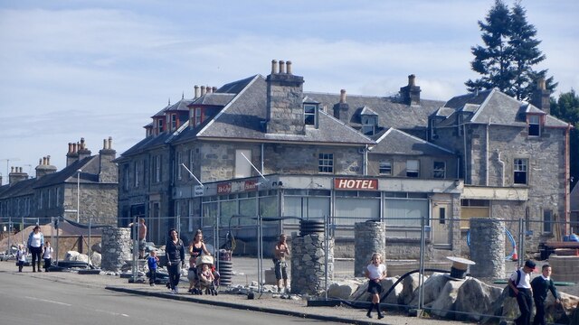
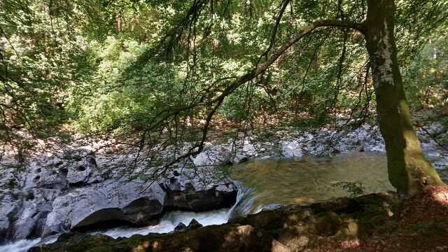
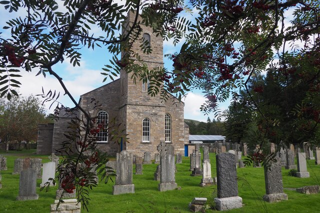
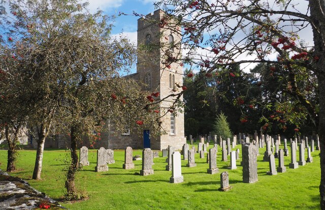
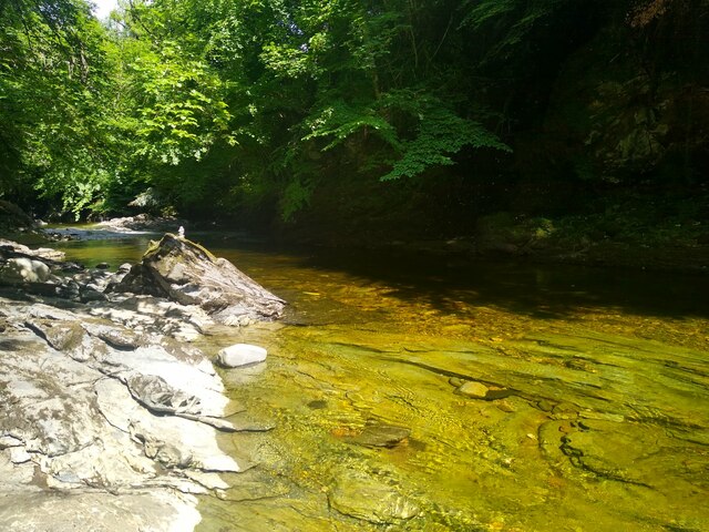
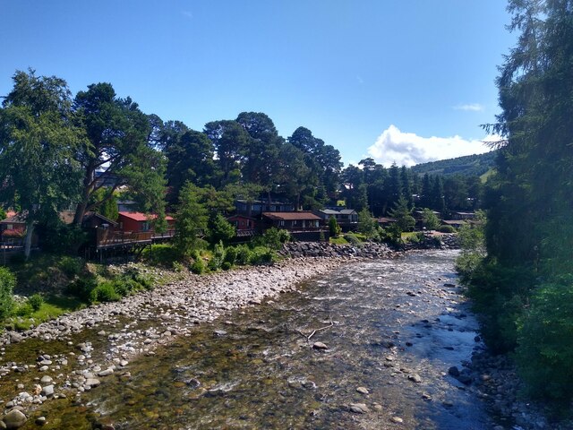
Bridge of Tilt is a small village located in the historic county of Perthshire, Scotland. Situated on the banks of the River Tilt, the village is nestled within the picturesque landscape of the Scottish Highlands.

The origins of Bridge of Tilt can be traced back to the 18th century when it served as a stopping point for drovers, who used the nearby bridge to cross the river with their livestock. The village grew around this bridge, which still stands today as a charming reminder of its past.

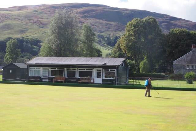
Despite its small size, Bridge of Tilt offers a range of amenities for both residents and visitors. The village features a local shop and post office, providing essential services to the community. Additionally, there are a few accommodation options, including bed and breakfasts and holiday cottages, allowing visitors to enjoy the tranquility of the area.

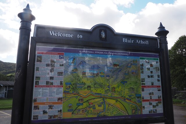
One of the main attractions near Bridge of Tilt is Blair Castle, located just a short distance away. This magnificent castle dates back to the 13th century and offers guided tours, allowing visitors to explore its opulent interiors and beautiful gardens.

For outdoor enthusiasts, the surrounding area provides ample opportunities for activities such as hiking, fishing, and wildlife spotting. The nearby Cairngorms National Park is a haven for nature lovers, offering stunning landscapes and a wide variety of flora and fauna.

Overall, Bridge of Tilt is a charming village that offers a peaceful and scenic retreat for those looking to explore the beauty of the Scottish Highlands.

If you have any feedback on the listing, please let us know in the comments section below.

Bridge of Tilt, Old Images

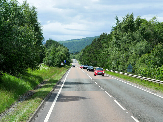
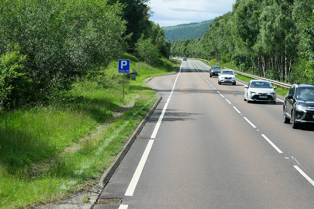
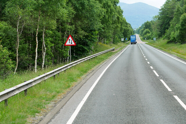
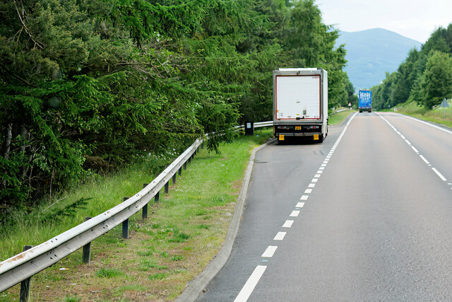
Images are sourced within 2km of 56.775264/-3.8400685 or Grid Reference NN8766. Thanks to Geograph Open Source API. All images are credited.

Bridge of Tilt Hotel Now closed and being redeveloped.
Bridge of Tilt Hotel
Now closed and being redeveloped.
The River Tilt near Blair Atholl I didn't notice it at the time, but some of the big rocks on the left have a strange likeness to that holey cheese you get, mostly seen in cartoons. The picture was taken from a well-trodden footpath that runs in between the river and the road between Blair Atholl and Bridge of Tilt.
Having not got very far with my research into the name 'Tilt' (which is still the case), I decided to see if there were any titbits of information in the OS naming books, but oddly nothing was listed. I therefore thought that the river may have gone by a Gaelic name on the initial maps, as it does further upstream. It turns out, however, that several of the exhaustive volumes, which all would have described in varying detail every named feature on the first OS maps round here, were destroyed when the OS headquarters in Southampton was a victim of heavy German bombing in the Second World War. During the Southampton Blitz, in November and December 1940, hundreds of tons of bombs were dropped on the city - the glow of the flames could apparently be seen from across the Channel.
Only the books from Scotland, Northumberland, Cumbria, and some of Durham survived. This geographical split is quite intriguing. It seems unlikely to be a coincidence, and it must be a possibility that OS loosely split Britain into two, storing the records for each half in different parts of the building. Maybe somebody had been referencing North Perthshire in the wrong part of the building the day the bombs were dropped. It would be interesting to know.
The River Tilt flows into the River Garry a mile or so South of here, and starts roughly 15 miles to the NorthEast. Some of the water runs from the small Loch Tilt, but there are other headwaters in the vicinity of the loch too.
The River Tilt near Blair Atholl
I didn't notice it at the time, but some of the big rocks on the left have a strange likeness to that holey cheese you get, mostly seen in cartoons. The picture was taken from a well-trodden footpath that runs in between the river and the road between Blair Atholl and Bridge of Tilt. Having not got very far with my research into the name 'Tilt' (which is still the case), I decided to see if there were any titbits of information in the OS naming books, but oddly nothing was listed. I therefore thought that the river may have gone by a Gaelic name on the initial maps, as it does further upstream. It turns out, however, that several of the exhaustive volumes, which all would have described in varying detail every named feature on the first OS maps round here, were destroyed when the OS headquarters in Southampton was a victim of heavy German bombing in the Second World War. During the Southampton Blitz, in November and December 1940, hundreds of tons of bombs were dropped on the city - the glow of the flames could apparently be seen from across the Channel. Only the books from Scotland, Northumberland, Cumbria, and some of Durham survived. This geographical split is quite intriguing. It seems unlikely to be a coincidence, and it must be a possibility that OS loosely split Britain into two, storing the records for each half in different parts of the building. Maybe somebody had been referencing North Perthshire in the wrong part of the building the day the bombs were dropped. It would be interesting to know. The River Tilt flows into the River Garry a mile or so South of here, and starts roughly 15 miles to the NorthEast. Some of the water runs from the small Loch Tilt, but there are other headwaters in the vicinity of the loch too.
Blair Atholl and Struan Parish Church This church was built 1823-1825. It has an 18" bell made by John Meikle of Edinburgh in 1688. Queen Victoria and Prince Albert once attended a service here in 1844.
Blair Atholl and Struan Parish Church
This church was built 1823-1825. It has an 18" bell made by John Meikle of Edinburgh in 1688. Queen Victoria and Prince Albert once attended a service here in 1844.
Blair Atholl and Struan Parish Church This church has an 18"bell made in 1688 by John Meikle of Edinburgh. Built 1823-1825. Queen Victoria and Prince Albert once attended a church service here. It is situated 35 miles north of Perth and is very near to Blair Castle.
Blair Atholl and Struan Parish Church
This church has an 18"bell made in 1688 by John Meikle of Edinburgh. Built 1823-1825. Queen Victoria and Prince Albert once attended a church service here. It is situated 35 miles north of Perth and is very near to Blair Castle.
Blair Atholl and Struan Parish Church This church is situated about 35 miles north of Perth. Blair Castle is very close by. In 1844 Queen Victoria and Prince Albert once attended a church service here.
Blair Atholl and Struan Parish Church
This church is situated about 35 miles north of Perth. Blair Castle is very close by. In 1844 Queen Victoria and Prince Albert once attended a church service here.
Blair Atholl and Struan Parish Church This church built 1823-1825 is situated about 35 miles north of Perth and very near to Blair Castle. In 1844 Queen Victoria and Prince Albert one attended a service in this church.
Blair Atholl and Struan Parish Church
This church built 1823-1825 is situated about 35 miles north of Perth and very near to Blair Castle. In 1844 Queen Victoria and Prince Albert one attended a service in this church.
Blair Atholl Information Sign Situated in the car park beside Blair Atholl and Struan Church and the Bowling Club.
Blair Atholl Information Sign
Situated in the car park beside Blair Atholl and Struan Church and the Bowling Club.
Blair Atholl Bowling Green This chap was tending the immaculate bowling green in this beautiful setting at Blair Atholl.
Blair Atholl Bowling Green
This chap was tending the immaculate bowling green in this beautiful setting at Blair Atholl.
River Tilt Leisure Park Lodges and static caravans sitting beside the River Tilt.
River Tilt Leisure Park
Lodges and static caravans sitting beside the River Tilt.
Beautiful spot for a footbath Just down from the Old Bridge, a few minutes away from a busy car park, is this splendid and peaceful rocky basin with the River Tilt in marvellous colours.
Beautiful spot for a footbath
Just down from the Old Bridge, a few minutes away from a busy car park, is this splendid and peaceful rocky basin with the River Tilt in marvellous colours.
View from the bridge View down River Tilt, with the lodges of the River Tilt Park on the left.
View from the bridge
View down River Tilt, with the lodges of the River Tilt Park on the left.
Signage - A9 northbound
Layby - A9 northbound
Signage - A9 northbound
Northbound A9 near Blair Atholl The A9 is a strategic link between the Highlands of Scotland and the Central Belt. Running for 273 miles, it is the longest road in Scotland and the fifth-longest A-road in the United Kingdom. Historically it was the main road between Edinburgh and John o' Groats but its importance has been eclipsed somewhat in the south by the A90 across the Forth Road Bridge and the M90 motorway, which now links Edinburgh more directly with Perth, and the M9, which is now the main road between Edinburgh and Bridge of Allan.
Northbound A9 near Blair Atholl
The A9 is a strategic link between the Highlands of Scotland and the Central Belt. Running for 273 miles, it is the longest road in Scotland and the fifth-longest A-road in the United Kingdom. Historically it was the main road between Edinburgh and John o' Groats but its importance has been eclipsed somewhat in the south by the A90 across the Forth Road Bridge and the M90 motorway, which now links Edinburgh more directly with Perth, and the M9, which is now the main road between Edinburgh and Bridge of Allan.
Northbound A9, Layby Number 49 As you travel along the A9 between Perth and Cromarty Bridge, there is a series of laybys at fairly regular intervals on both sides of the road. These laybys are numbered consecutively from south to north. The layby furthest north is number 200. Layby 49 is on the northbound carriageway near Blair Atholl.
Northbound A9, Layby Number 49
As you travel along the A9 between Perth and Cromarty Bridge, there is a series of laybys at fairly regular intervals on both sides of the road. These laybys are numbered consecutively from south to north. The layby furthest north is number 200. Layby 49 is on the northbound carriageway near Blair Atholl.
Southbound A9 near Blair Atholl The A9 is a strategic link between the Highlands of Scotland and the Central Belt. Running for 273 miles, it is the longest road in Scotland and the fifth-longest A-road in the United Kingdom. Historically it was the main road between Edinburgh and John o' Groats but its importance has been eclipsed somewhat in the south by the A90 across the Forth Road Bridge and the M90 motorway, which now links Edinburgh more directly with Perth, and the M9, which is now the main road between Edinburgh and Bridge of Allan.
Southbound A9 near Blair Atholl
The A9 is a strategic link between the Highlands of Scotland and the Central Belt. Running for 273 miles, it is the longest road in Scotland and the fifth-longest A-road in the United Kingdom. Historically it was the main road between Edinburgh and John o' Groats but its importance has been eclipsed somewhat in the south by the A90 across the Forth Road Bridge and the M90 motorway, which now links Edinburgh more directly with Perth, and the M9, which is now the main road between Edinburgh and Bridge of Allan.
Southbound A9, Layby No 48 As you travel along the A9 between Perth and Cromarty Bridge, there is a series of laybys at fairly regular intervals on both sides of the road. These laybys are numbered consecutively from south to north. The layby furthest north is number 200. Layby 48 is on the northbound carriageway near Blair Atholl.
Southbound A9, Layby No 48
As you travel along the A9 between Perth and Cromarty Bridge, there is a series of laybys at fairly regular intervals on both sides of the road. These laybys are numbered consecutively from south to north. The layby furthest north is number 200. Layby 48 is on the northbound carriageway near Blair Atholl.
Show me another place!

Bridge of Tilt, Old is located at Grid Ref: NN8766 (Lat: 56.775264, Lng: -3.8400685)

Unitary Authority: Perth and Kinross

Police Authority: Tayside

What 3 Words

///police.juniors.wobbles. Near Blair Atholl, Perth & Kinross

Related Wikis

Bridge of Tilt

Bridge of Tilt (Scottish Gaelic: Drochaid Theilt) is a village in Perthshire, Scotland, built around the River Tilt (Scottish Gaelic: Abhainn Teilt), near...
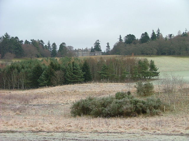
Lude House

Lude House (also known as House of Lude or Lude Estate) is a Category B listed country house and estate in Blair Atholl, Perth and Kinross, Scotland. It...

Blair Atholl

Blair Atholl (from the Scottish Gaelic: Blàr Athall, originally Blàr Ath Fhodla) is a village in Perthshire, Scotland, built about the confluence of the...

Blair Castle

Blair Castle (in Scottish Gaelic: Caisteil Bhlàir) stands in its grounds near the village of Blair Atholl in Perthshire in Scotland. It is the ancestral...

Nearby Amenities

Located within 500m of 56.775264,-3.8400685
Turning Circle
Lat/Long: 56.7762566/-3.8394619
Old Bridge of Tilt
1860name: Corn Mill, saw mill
Pont: no
Stobie1783: Mill
Designation: Historic Mill
Historic: archaeological_site
Source: OS Six inch 1st series
Lat/Long: 56.7751975/-3.8393685
Old Bridge of Tilt
1860name: Saw Mill
Pont: no
Stobie1783: no
Designation: Historic Mill
Historic: archaeological_site
Source: OS Six inch 1st series
Lat/Long: 56.7769375/-3.8372763
Middlebridge
Place: hamlet
Lat/Long: 56.777137/-3.8346905
Old Bridge of Tilt
Place: hamlet
Lat/Long: 56.7755498/-3.8395829
Power: pole
Lat/Long: 56.7761653/-3.832377
Power: pole
Lat/Long: 56.7764565/-3.8329723
Power: pole
Lat/Long: 56.7767477/-3.8335268
Power: pole
Lat/Long: 56.7770529/-3.8341298
Power: pole
Lat/Long: 56.777358/-3.8347456
Power: pole
Lat/Long: 56.7787622/-3.8362583
Power: pole
Lat/Long: 56.778422/-3.8367974
Power: pole
Lat/Long: 56.7776464/-3.8366646
Power: pole
Lat/Long: 56.7772041/-3.8365905
Power: pole
Lat/Long: 56.7766357/-3.8372114
Power: pole
Lat/Long: 56.7761555/-3.8377198
Power: pole
Lat/Long: 56.7756277/-3.8382666
Power: pole
Lat/Long: 56.7751334/-3.8388186
Power: pole
Lat/Long: 56.7745888/-3.838977
Power: pole
Lat/Long: 56.7739476/-3.8391635
Power: pole
Lat/Long: 56.7732489/-3.8390204
Power: pole
Lat/Long: 56.7726427/-3.8388594
Power: pole
Lat/Long: 56.7721652/-3.8387393
Power: pole
Lat/Long: 56.7717424/-3.8386499
Power: pole
Lat/Long: 56.7712901/-3.8385605
Bench
Backrest: yes
Lat/Long: 56.773721/-3.8422657
Alphabet?
Material: stone
Tourism: artwork
Lat/Long: 56.7740537/-3.8474657
The data included in this document is from www.openstreetmap.org. The data is made available under ODbL.

Have you been to Bridge of Tilt, Old?

Leave your review of Bridge of Tilt, Old below (or comments, questions and feedback).