Oakwell

Settlement in Yorkshire

England

Oakwell

Oakwell Hall Country Park Parts of Oakwell Hall date from the 15th century but the present building is largely due to John Batt in 1583, with some further modifications in the 17th century. In the 19th century it was used as a boarding school. When Charlotte Bronte lived at nearby Hartshead, she allegedly used Oakwell as the basis for 'Fieldhead' in the novel 'Shirley' (Fieldhead is in fact a local name for part of Birstall). The hall and its outbuildings are listed grade I (list entry 11344609) and now operated as a museum by Kirklees council (open at weekends). 

The grounds, along with the site of a former colliery and railway line, form Oakwell Country Park covering 45 hectares of woodland and open fields, which has a separate free car park. There are nature trails and a mountain bike route.
Oakwell Hall Country Park Credit: habiloid

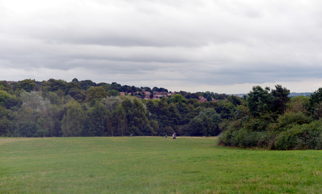
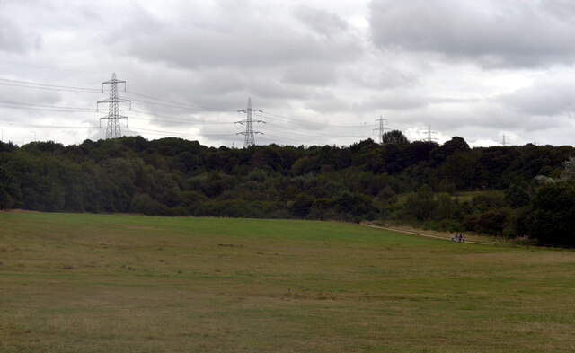
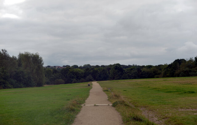
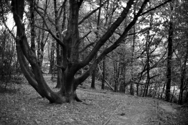
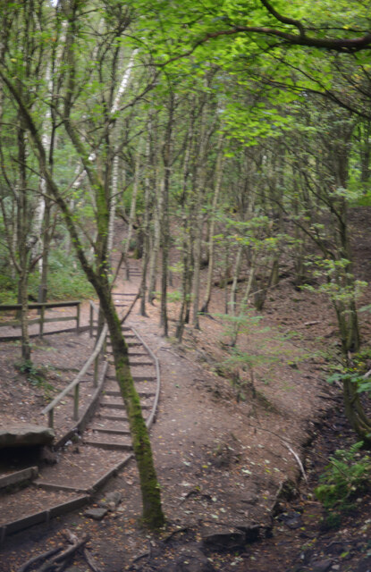
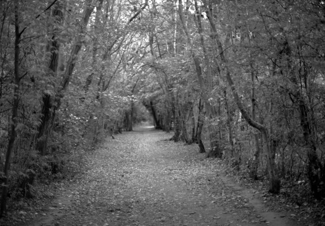
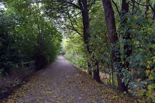
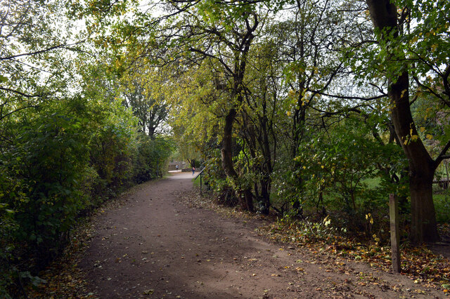
Oakwell is a small village located in the county of Yorkshire, England. Situated in the Metropolitan Borough of Barnsley, Oakwell is known for its picturesque surroundings and rich history. The village is nestled in the heart of the Yorkshire countryside, surrounded by rolling green hills and scenic landscapes.

One of the prominent features of Oakwell is its close proximity to the famous Oakwell Stadium, which is home to the Barnsley Football Club. The stadium attracts football enthusiasts from all over the country, adding to the vibrant atmosphere of the village on match days.

Oakwell is also known for its strong agricultural heritage. The village is surrounded by fertile farmland, where local farmers cultivate a variety of crops and rear livestock. This agricultural tradition is deeply ingrained in the community, and the village often hosts agricultural fairs and events to celebrate its rural heritage.

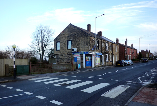
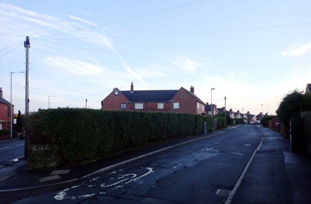
The village itself features a charming collection of traditional stone houses, giving it a quintessential English countryside feel. It is home to a close-knit community, where residents take pride in their village and its history. There are a few local shops and amenities, providing essential services to the residents.

Oakwell is well-connected to the larger towns and cities in the area, with good road and transport links. This allows residents to easily access nearby facilities and attractions, such as shopping centers, museums, and historical landmarks.

Overall, Oakwell offers a peaceful and idyllic setting, making it an attractive place to live for those seeking a rural lifestyle with convenient access to urban amenities.

If you have any feedback on the listing, please let us know in the comments section below.
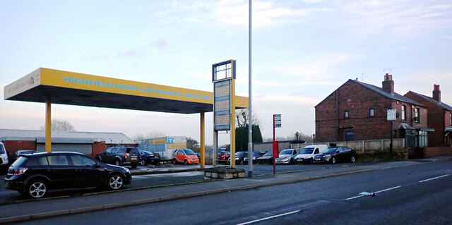
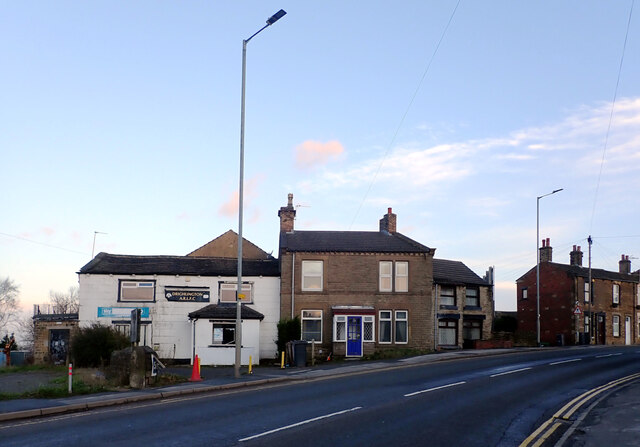
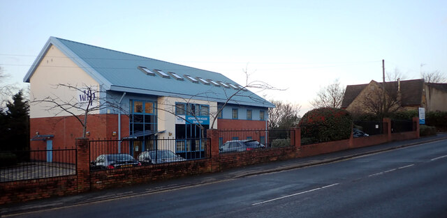
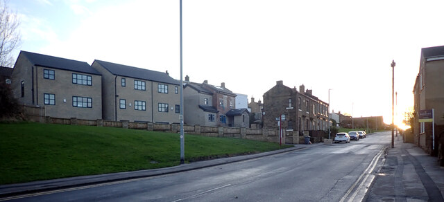
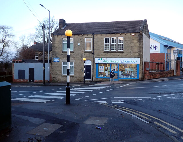
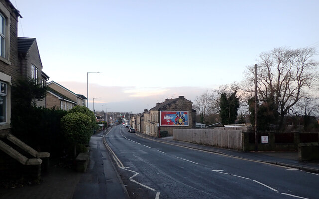
Oakwell Images

Images are sourced within 2km of 53.739824/-1.669454 or Grid Reference SE2127. Thanks to Geograph Open Source API. All images are credited.

Oakwell Hall Country Park Parts of Oakwell Hall date from the 15th century but the present building is largely due to John Batt in 1583, with some further modifications in the 17th century. In the 19th century it was used as a boarding school. When Charlotte Bronte lived at nearby Hartshead, she allegedly used Oakwell as the basis for 'Fieldhead' in the novel 'Shirley' (Fieldhead is in fact a local name for part of Birstall). The hall and its outbuildings are listed grade I (list entry 11344609) and now operated as a museum by Kirklees council (open at weekends). 

The grounds, along with the site of a former colliery and railway line, form Oakwell Country Park covering 45 hectares of woodland and open fields, which has a separate free car park. There are nature trails and a mountain bike route.
Oakwell Hall Country Park
Parts of Oakwell Hall date from the 15th century but the present building is largely due to John Batt in 1583, with some further modifications in the 17th century. In the 19th century it was used as a boarding school. When Charlotte Bronte lived at nearby Hartshead, she allegedly used Oakwell as the basis for 'Fieldhead' in the novel 'Shirley' (Fieldhead is in fact a local name for part of Birstall). The hall and its outbuildings are listed grade I (list entry 11344609) and now operated as a museum by Kirklees council (open at weekends). The grounds, along with the site of a former colliery and railway line, form Oakwell Country Park covering 45 hectares of woodland and open fields, which has a separate free car park. There are nature trails and a mountain bike route.
Path, Oakwell Hall Country Park Parts of Oakwell Hall date from the 15th century but the present building is largely due to John Batt in 1583, with some further modifications in the 17th century. In the 19th century it was used as a boarding school. When Charlotte Bronte lived at nearby Hartshead, she allegedly used Oakwell as the basis for 'Fieldhead' in the novel 'Shirley' (Fieldhead is in fact a local name for part of Birstall). The hall and its outbuildings are listed grade I (list entry 11344609) and now operated as a museum by Kirklees council (open at weekends). 

The grounds, along with the site of a former colliery and railway line, form Oakwell Country Park covering 45 hectares of woodland and open fields, which has a separate free car park. There are nature trails and a mountain bike route.
Path, Oakwell Hall Country Park
Parts of Oakwell Hall date from the 15th century but the present building is largely due to John Batt in 1583, with some further modifications in the 17th century. In the 19th century it was used as a boarding school. When Charlotte Bronte lived at nearby Hartshead, she allegedly used Oakwell as the basis for 'Fieldhead' in the novel 'Shirley' (Fieldhead is in fact a local name for part of Birstall). The hall and its outbuildings are listed grade I (list entry 11344609) and now operated as a museum by Kirklees council (open at weekends). The grounds, along with the site of a former colliery and railway line, form Oakwell Country Park covering 45 hectares of woodland and open fields, which has a separate free car park. There are nature trails and a mountain bike route.
Path and pylons, Oakwell Hall Country Park Parts of Oakwell Hall date from the 15th century but the present building is largely due to John Batt in 1583, with some further modifications in the 17th century. In the 19th century it was used as a boarding school. When Charlotte Bronte lived at nearby Hartshead, she allegedly used Oakwell as the basis for 'Fieldhead' in the novel 'Shirley' (Fieldhead is in fact a local name for part of Birstall). The hall and its outbuildings are listed grade I (list entry 11344609) and now operated as a museum by Kirklees council (open at weekends). 

The grounds, along with the site of a former colliery and railway line, form Oakwell Country Park covering 45 hectares of woodland and open fields, which has a separate free car park. There are nature trails and a mountain bike route.
Path and pylons, Oakwell Hall Country Park
Parts of Oakwell Hall date from the 15th century but the present building is largely due to John Batt in 1583, with some further modifications in the 17th century. In the 19th century it was used as a boarding school. When Charlotte Bronte lived at nearby Hartshead, she allegedly used Oakwell as the basis for 'Fieldhead' in the novel 'Shirley' (Fieldhead is in fact a local name for part of Birstall). The hall and its outbuildings are listed grade I (list entry 11344609) and now operated as a museum by Kirklees council (open at weekends). The grounds, along with the site of a former colliery and railway line, form Oakwell Country Park covering 45 hectares of woodland and open fields, which has a separate free car park. There are nature trails and a mountain bike route.
Oakwell Hall Country Park Parts of Oakwell Hall date from the 15th century but the present building is largely due to John Batt in 1583, with some further modifications in the 17th century. In the 19th century it was used as a boarding school. When Charlotte Bronte lived at nearby Hartshead, she allegedly used Oakwell as the basis for 'Fieldhead' in the novel 'Shirley' (Fieldhead is in fact a local name for part of Birstall). The hall and its outbuildings are listed grade I (list entry 11344609) and now operated as a museum by Kirklees council (open at weekends). 

The grounds, along with the site of a former colliery and railway line, form Oakwell Country Park covering 45 hectares of woodland and open fields, which has a separate free car park. There are nature trails and a mountain bike route.
Oakwell Hall Country Park
Parts of Oakwell Hall date from the 15th century but the present building is largely due to John Batt in 1583, with some further modifications in the 17th century. In the 19th century it was used as a boarding school. When Charlotte Bronte lived at nearby Hartshead, she allegedly used Oakwell as the basis for 'Fieldhead' in the novel 'Shirley' (Fieldhead is in fact a local name for part of Birstall). The hall and its outbuildings are listed grade I (list entry 11344609) and now operated as a museum by Kirklees council (open at weekends). The grounds, along with the site of a former colliery and railway line, form Oakwell Country Park covering 45 hectares of woodland and open fields, which has a separate free car park. There are nature trails and a mountain bike route.
Path through the woods, Oakwell Hall Country Park
Route of an old railway line passing through the woods, Oakwell Hall Country Park Parts of Oakwell Hall date from the 15th century but the present building is largely due to John Batt in 1583, with some further modifications in the 17th century. In the 19th century it was used as a boarding school. When Charlotte Bronte lived at nearby Hartshead, she allegedly used Oakwell as the basis for 'Fieldhead' in the novel 'Shirley' (Fieldhead is in fact a local name for part of Birstall). The hall and its outbuildings are listed grade I (list entry 11344609) and now operated as a museum by Kirklees council (open at weekends). 

The grounds, along with the site of a former colliery and railway line, form Oakwell Country Park covering 45 hectares of woodland and open fields, which has a separate free car park. There are nature trails and a mountain bike route.
Route of an old railway line passing through the woods, Oakwell Hall Country Park
Parts of Oakwell Hall date from the 15th century but the present building is largely due to John Batt in 1583, with some further modifications in the 17th century. In the 19th century it was used as a boarding school. When Charlotte Bronte lived at nearby Hartshead, she allegedly used Oakwell as the basis for 'Fieldhead' in the novel 'Shirley' (Fieldhead is in fact a local name for part of Birstall). The hall and its outbuildings are listed grade I (list entry 11344609) and now operated as a museum by Kirklees council (open at weekends). The grounds, along with the site of a former colliery and railway line, form Oakwell Country Park covering 45 hectares of woodland and open fields, which has a separate free car park. There are nature trails and a mountain bike route.
"Fiddlehead and Fernblades" by Adrian Moakes, Oakwell Hall Country Park "Fiddlehead and Fernblades" is a sculpture by Adrian Moakes (2008). It stands at the highest point of the colliery field of Oakwell Hall Country park, Birstall. The colliery field is the landscape site of Gomersal Pit which closed in 1973. The sculpture depicts ferns which formed the coal mined there.
It is 6.5m high and is formed from galvanized tubular and sheet steel. It was officially opened on 19th October 2008.
"Fiddlehead and Fernblades" by Adrian Moakes, Oakwell Hall Country Park
"Fiddlehead and Fernblades" is a sculpture by Adrian Moakes (2008). It stands at the highest point of the colliery field of Oakwell Hall Country park, Birstall. The colliery field is the landscape site of Gomersal Pit which closed in 1973. The sculpture depicts ferns which formed the coal mined there. It is 6.5m high and is formed from galvanized tubular and sheet steel. It was officially opened on 19th October 2008.
Route of an old railway line passing through the woods, Oakwell Hall Country Park
Warrens Lane, Oakwell Hall Country Park
Wakefield Road (B6135), Drighlington
Fairfax Avenue, Drighlington
Car Wash, Wakefield Road (B6135), Drighlington
Wakefield Road (B6135), Drighlington
Adwalton House Surgery, Wakefield Road (B6135), Drighlington
Moorside Road, Drighlington
Drighlington Pharmacy, King Street (B6135), Drighlington
King Street (B6135), Drighlington
Show me another place!

Oakwell is located at Grid Ref: SE2127 (Lat: 53.739824, Lng: -1.669454)

Division: West Riding

Unitary Authority: Kirklees

Police Authority: West Yorkshire

What 3 Words

///spent.cigar.entertainer. Near Drighlington, West Yorkshire

Related Wikis

Oakwell Hall

Oakwell Hall is an Elizabethan manor house in Birstall, West Yorkshire, England. The Grade I listed hall is set in period gardens surrounded by 110 acres...

M62 coach bombing

The M62 coach bombing, sometimes referred to as the M62 Massacre, occurred on 4 February 1974 on the M62 motorway in northern England, when a 25-pound...

St Peter's Church, Birstall

St. Peter's Church in Birstall, West Yorkshire, England is an active Anglican parish church in the archdeaconry of Leeds and the Diocese of Leeds. ��2...

Birstall Town railway station

Birstall Town railway station served the town of Birstall, West Yorkshire, in the historic county of West Riding of Yorkshire, England, from 1900 to 1953...

Nearby Amenities

Located within 500m of 53.739824,-1.669454
Oakwell
Place: hamlet
Source: npe
Lat/Long: 53.7400391/-1.6716988
Power: tower
Lat/Long: 53.7421793/-1.6685699
Cafe
The Oak Tree
Lat/Long: 53.7400347/-1.6713823
Bus Stop
Field Head Lane Foxglove Road
Local Ref: 45023502
Naptan AtcoCode: 450023502
Naptan Bearing: N
Naptan CommonName: Field Head Lane Foxglove Road
Naptan Crossing: Foxglove Road
Naptan Indicator: Stop 45023502
Naptan Notes: OSR taken place 080905
Naptan PlusbusZoneRef: LEEDS
Naptan ShortCommonName: Foxglove Road
Naptan Street: Field Head Lane
Naptan Verified: yes
Ref: 45023502
Shelter: no
Source: naptan_import
Timetable: yes
Lat/Long: 53.7377162/-1.6637287
Bus Stop
Field Head Lane Lowood Lane
Local Ref: 45025376
Naptan AtcoCode: 450025376
Naptan Bearing: N
Naptan CommonName: Field Head Lane Lowood Lane
Naptan Crossing: Lowood Lane
Naptan Indicator: Stop 45025376
Naptan Landmark: Hare & Hounds PH
Naptan PlusbusZoneRef: LEEDS
Naptan ShortCommonName: Lowood Lane
Naptan Street: Field Head Lane
Naptan Verified: no
Ref: 45025370
Shelter: no
Source: naptan_import
Lat/Long: 53.7397042/-1.6628093
Bus Stop
Lowood Lane Branwell Avenue
Local Ref: 45023493
Naptan AtcoCode: 450023493
Naptan Bearing: E
Naptan CommonName: Lowood Lane Branwell Avenue
Naptan Crossing: Withens Road
Naptan Indicator: Stop 45023493
Naptan PlusbusZoneRef: LEEDS
Naptan ShortCommonName: Withens Road
Naptan Street: Lowood Lane
Naptan Verified: no
Shelter: yes
Source: naptan_import
Lat/Long: 53.7392957/-1.6621052
Bus Stop
Field Head Lane Lowood Lane
Bench: yes
Kerb: raised
Local Ref: 45023501
Naptan AtcoCode: 450023501
Naptan Bearing: S
Naptan CommonName: Field Head Lane Lowood Lane
Naptan Crossing: Lowood Lane
Naptan Indicator: Stop 45023501
Naptan Notes: New TF shelter and 3P tt case fitted
Naptan PlusbusZoneRef: LEEDS
Naptan ShortCommonName: Lowood Lane
Naptan Street: Field Head Lane
Shelter: yes
Source: naptan_import
Lat/Long: 53.739118/-1.6628192
Bus Stop
Oakwell Hall Country Park
Bus: yes
Local Ref: 45025453
Naptan AtcoCode: 450025453
Naptan Bearing: NW
Naptan BusStopType: CUS
Naptan CommonName: Oakwell Hall Country Park
Naptan Indicator: Stop 45025453
Naptan Notes: Stop for summer services day tripper. Do not End-date!!!
Naptan PlusbusZoneRef: LEEDS
Naptan ShortCommonName: Oakwell Hall
Naptan Street: Oakwell Hall Country Park
Naptan Verified: no
Public Transport: platform
Source: naptan_import
Lat/Long: 53.7397091/-1.6717747
Bus Stop
Field Head Lane Highfield Drive
Kerb: raised
Naptan AtcoCode: 450028349
Naptan Bearing: S
Naptan CommonName: Field Head Lane Highfield Drive
Naptan Crossing: Highfield Drive
Naptan Landmark: Unknown
Naptan PlusbusZoneRef: LEEDS
Naptan ShortCommonName: Highfield Drive
Naptan Street: Field Head Lane
Naptan Verified: no
Shelter: no
Source: naptan_import
Timetable: yes
Lat/Long: 53.7374585/-1.6637376
Post Box
Operator: Royal Mail
Post Box Type: lamp
Ref: WF17 210
Lat/Long: 53.7366452/-1.6681895
Grit Bin
Lat/Long: 53.7367596/-1.6685898
Birds of Oakwell
Board Type: wildlife
Information: board
Tourism: information
Lat/Long: 53.7387991/-1.6707154
Walls & Hedges
Board Type: wildlife
Information: board
Tourism: information
Lat/Long: 53.7388864/-1.6692547
Bench
Backrest: no
Lat/Long: 53.7408247/-1.6714868
Bench
Backrest: no
Lat/Long: 53.7409025/-1.6713218
The 'Leeds New Line'
Board Type: history
Description: Information about old railway line
Information: board
Tourism: information
Lat/Long: 53.7409246/-1.6682719
Bench
Backrest: no
Lat/Long: 53.7406435/-1.6679174
Waste Basket
Lat/Long: 53.7387934/-1.6707837
Bench
Backrest: no
Lat/Long: 53.7411057/-1.6690444
Welcome to Oakwell Hall Country Park
Information: map
Map Size: site
Tourism: information
Lat/Long: 53.7412684/-1.6705957
Entrance: main
Lat/Long: 53.7398897/-1.6718409
Access: foot
Barrier: kissing_gate
Wheelchair: maybe
Lat/Long: 53.7407688/-1.6756707
Bench
Backrest: no
Material: wood
Lat/Long: 53.7409416/-1.6752476
Bench
Lat/Long: 53.7414887/-1.6720987
Bench
Lat/Long: 53.7402753/-1.666825
Bench
Backrest: no
Lat/Long: 53.7403085/-1.666761
Bench
Backrest: no
Lat/Long: 53.7403502/-1.666849
Bench
Backrest: no
Lat/Long: 53.7403836/-1.6669311
Tourism: artwork
Lat/Long: 53.7395743/-1.6721839
Bench
Backrest: no
Lat/Long: 53.738176/-1.6758418
Barrier: stile
Lat/Long: 53.7436942/-1.6713295
Generator Method: photovoltaic
Generator Output Electricity: yes
Generator Source: solar
Generator Type: solar_photovoltaic_panel
Location: roof
Power: generator
Lat/Long: 53.7398009/-1.6618779
Generator Method: photovoltaic
Generator Output Electricity: yes
Generator Source: solar
Generator Type: solar_photovoltaic_panel
Location: roof
Power: generator
Lat/Long: 53.7397533/-1.6618887
Generator Method: photovoltaic
Generator Output Electricity: yes
Generator Source: solar
Generator Type: solar_photovoltaic_panel
Location: roof
Power: generator
Lat/Long: 53.7396772/-1.6619208
Generator Method: photovoltaic
Generator Output Electricity: yes
Generator Source: solar
Generator Type: solar_photovoltaic_panel
Location: roof
Power: generator
Lat/Long: 53.7396312/-1.6619343
Generator Method: photovoltaic
Generator Output Electricity: yes
Generator Source: solar
Generator Type: solar_photovoltaic_panel
Location: roof
Power: generator
Lat/Long: 53.739582/-1.6619477
Generator Method: photovoltaic
Generator Output Electricity: yes
Generator Source: solar
Generator Type: solar_photovoltaic_panel
Location: roof
Power: generator
Lat/Long: 53.7386717/-1.6643888
Oakwell Hall MTB map
Information: map
Map Size: site
Map Type: cycleway
Tourism: information
Lat/Long: 53.7414704/-1.6704238
Leisure: picnic_table
Lat/Long: 53.73865/-1.6709586
Leisure: picnic_table
Lat/Long: 53.7388094/-1.670296
Tourism: viewpoint
Lat/Long: 53.7402605/-1.6668187
Office: yes
Lat/Long: 53.7399723/-1.6715598
Oakwell Gift Shop and Tourist Information
Operator: Kirklees Council
Shop: gift
Lat/Long: 53.7395072/-1.6713229
Leisure: picnic_table
Lat/Long: 53.7400782/-1.6710169
The data included in this document is from www.openstreetmap.org. The data is made available under ODbL.

Have you been to Oakwell?

Leave your review of Oakwell below (or comments, questions and feedback).