Nurton Hill

Settlement in Staffordshire South Staffordshire

England

Nurton Hill

2014 Pattingham Bells cross country race Emerging from The Beeches spinney, on a cool but bright October morning. The race started life 25 years ago to help raise money for the restoration of the Pattingham church bells, and having achieved that aim, is now a popular event on the local running scene. It's great fun, to boot.
2014 Pattingham Bells cross country race Credit: Richard Law

Nurton Hill is a small village located in the county of Staffordshire, England. It is situated approximately 5 miles north of the town of Stafford and is part of the civil parish of Hopton and Coton. The village is surrounded by picturesque countryside, offering residents and visitors a serene and tranquil setting.

Nurton Hill is known for its charming rural character, with a mix of traditional stone cottages and modern houses dotting the landscape. The village is home to a close-knit community, and residents enjoy a peaceful and friendly atmosphere. It is an ideal place for those seeking a quiet and idyllic lifestyle away from the hustle and bustle of the city.

Despite its small size, Nurton Hill benefits from a range of amenities and facilities. The village has a local pub, which serves as a social hub for residents and visitors alike. There is also a village hall that hosts various community events and activities throughout the year. For outdoor enthusiasts, the surrounding countryside offers plenty of opportunities for walking, hiking, and exploring the natural beauty of Staffordshire.

Nurton Hill is well-connected to nearby towns and cities. The town of Stafford, with its wider range of amenities, is just a short drive away. Additionally, the village has good transport links, with regular bus services connecting it to the surrounding areas.

In conclusion, Nurton Hill is a charming village in Staffordshire, offering a peaceful and picturesque setting for residents and visitors. With its rural character, friendly community, and convenient location, it is a desirable place to call home.

If you have any feedback on the listing, please let us know in the comments section below.
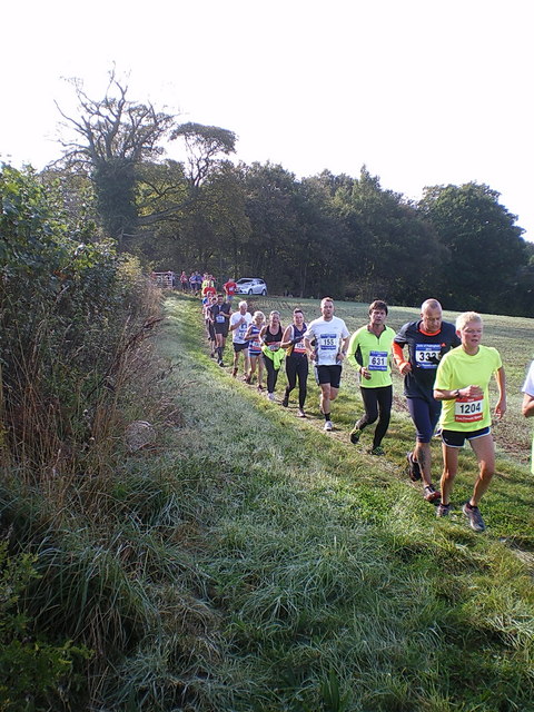
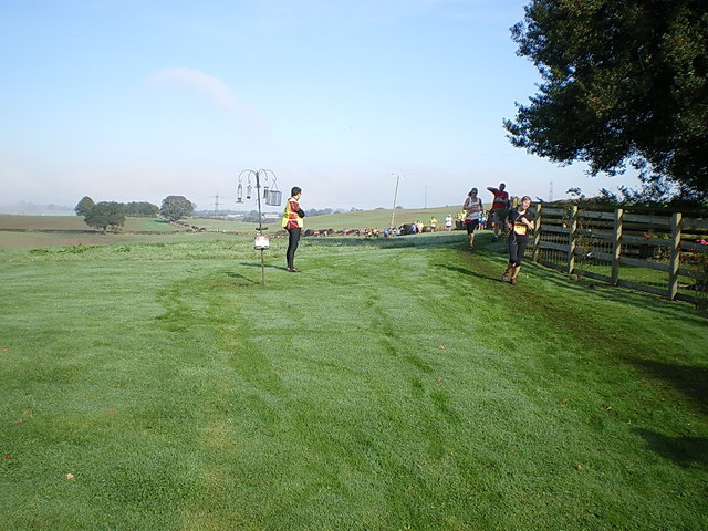
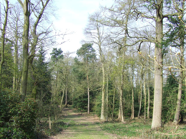
Nurton Hill Images

Images are sourced within 2km of 52.595013/-2.249491 or Grid Reference SO8399. Thanks to Geograph Open Source API. All images are credited.

2014 Pattingham Bells cross country race Emerging from The Beeches spinney, on a cool but bright October morning. The race started life 25 years ago to help raise money for the restoration of the Pattingham church bells, and having achieved that aim, is now a popular event on the local running scene. It's great fun, to boot.
2014 Pattingham Bells cross country race
Emerging from The Beeches spinney, on a cool but bright October morning. The race started life 25 years ago to help raise money for the restoration of the Pattingham church bells, and having achieved that aim, is now a popular event on the local running scene. It's great fun, to boot.
Runners coming into Hawks Well cottage garden Part of the 2014 Pattingham Bells 7-mile cross country race; here, after a footpath section from Boningale, the route drops back into the woods of the Scotts Bank plantation behind me.
Runners coming into Hawks Well cottage garden
Part of the 2014 Pattingham Bells 7-mile cross country race; here, after a footpath section from Boningale, the route drops back into the woods of the Scotts Bank plantation behind me.
Potato Field, The Bradshaws, Staffordshire Potatoes are grown extensively around The Bradshaws.
Potato Field, The Bradshaws, Staffordshire
Potatoes are grown extensively around The Bradshaws.
Lane and footpath south of Kingswood, Shropshire The public footpath leads down to the left, towards Boningale; Westbeech Road goes north-north-east towards Kingswood.
Lane and footpath south of Kingswood, Shropshire
The public footpath leads down to the left, towards Boningale; Westbeech Road goes north-north-east towards Kingswood.
Cereal crop and gas pipeline indicator near Wrottesley, Staffordshire The fields around are predominantly arable. Gas pipelines all over the country are not far beneath the surface of the fields.
Cereal crop and gas pipeline indicator near Wrottesley, Staffordshire
The fields around are predominantly arable. Gas pipelines all over the country are not far beneath the surface of the fields.
Woodland reservoir in Wrottesley Old Park, Staffordshire There are two enormous covered "water tanks" hidden in the Wrottesly Park Plantation here. They are recorded as reservoirs on the 1:25000 map.
Woodland reservoir in Wrottesley Old Park, Staffordshire
There are two enormous covered "water tanks" hidden in the Wrottesly Park Plantation here. They are recorded as reservoirs on the 1:25000 map.
Ploughed field north of Pattingham in Staffordshire Beautifully ploughed, in an area still surrounded by well maintained woodland. I wonder if the spuds have already been planted.
Ploughed field north of Pattingham in Staffordshire
Beautifully ploughed, in an area still surrounded by well maintained woodland. I wonder if the spuds have already been planted.
Bridleway, Wrottesley Old Park, Staffordshire This bridleway is a beautiful walk. It is wide, "green lane" in appearance, and in several places shows signs of having had the surface strengthened with medium sized rounded stones.
Bridleway, Wrottesley Old Park, Staffordshire
This bridleway is a beautiful walk. It is wide, "green lane" in appearance, and in several places shows signs of having had the surface strengthened with medium sized rounded stones.
Bridleway, Wrottesley Old Park, Staffordshire A thoroughly delightful byway!
Bridleway, Wrottesley Old Park, Staffordshire
A thoroughly delightful byway!
Cereal Crop Field near Pepperhill, Shropshire Open and undulating arable land. Upper Pepperhill Farm can be seen on the sky-line, to the right.
Cereal Crop Field near Pepperhill, Shropshire
Open and undulating arable land. Upper Pepperhill Farm can be seen on the sky-line, to the right.
Forestry, Scott's Bank Plantation, High Park, Staffordshire The very well maintained (and worked) forestry area is Crown Land and has two metre high brick walls (on a stone base) enclosing much, (but not all) of it.
Forestry, Scott's Bank Plantation, High Park, Staffordshire
The very well maintained (and worked) forestry area is Crown Land and has two metre high brick walls (on a stone base) enclosing much, (but not all) of it.
Forestry and Lake, High Park, Staffordshire The (Crown Estates) woods in this area are excellently managed and pheasant can be seen and heard frequently. Associated "sporting" activity also leaves its occasional detritus!
Forestry and Lake, High Park, Staffordshire
The (Crown Estates) woods in this area are excellently managed and pheasant can be seen and heard frequently. Associated "sporting" activity also leaves its occasional detritus!
Pheasant, Scott's Bank Plantation, Staffordshire I was lucky when I shot this one....WITH THE CAMERA!! I can't say I was especially glad to see the ejected empty shotgun cartridges left lying around by the recent "sportsmen".
Pheasant, Scott's Bank Plantation, Staffordshire
I was lucky when I shot this one....WITH THE CAMERA!! I can't say I was especially glad to see the ejected empty shotgun cartridges left lying around by the recent "sportsmen".
Scott's Bank Plantation, Staffordshire The woodland is well maintained, and is full of pheasant and other wildlife. Occasional open spaces are encouraged among the mature mixed woodland. The woodland is Crown Estates Property, with no public right of access.
Scott's Bank Plantation, Staffordshire
The woodland is well maintained, and is full of pheasant and other wildlife. Occasional open spaces are encouraged among the mature mixed woodland. The woodland is Crown Estates Property, with no public right of access.
Bridleway and farmland near Wrottesley in Staffordshire The cereal crops are growing well, and the woods ring with the call of pheasant. The weather has been dry for a while and the track is breaking up into very fine sand, creating dense clouds when farm vehicles pass. Wrottesley Lodge farm buildings are at the end of this track, which is a bridleway.
Bridleway and farmland near Wrottesley in Staffordshire
The cereal crops are growing well, and the woods ring with the call of pheasant. The weather has been dry for a while and the track is breaking up into very fine sand, creating dense clouds when farm vehicles pass. Wrottesley Lodge farm buildings are at the end of this track, which is a bridleway.
Lane/Public Footpath, near Nurton, Staffordshire This well surfaced (cul-de-sac) lane is actually signposted as a public footpath!
In fact, it acts as a private access road to several seriously desirable detached residences in extensive landscaped gardens.
Lane/Public Footpath, near Nurton, Staffordshire
This well surfaced (cul-de-sac) lane is actually signposted as a public footpath! In fact, it acts as a private access road to several seriously desirable detached residences in extensive landscaped gardens.
Private Garden and Mini Golf Course, near Nurton, Staffordshire The last house on the surfaced part of the lane has extensive gardens including this immaculately presented miniature golf course. Shame about the power lines!!
Private Garden and Mini Golf Course, near Nurton, Staffordshire
The last house on the surfaced part of the lane has extensive gardens including this immaculately presented miniature golf course. Shame about the power lines!!
Wrottesley Lodge Farm Buildings
Show me another place!

Nurton Hill is located at Grid Ref: SO8399 (Lat: 52.595013, Lng: -2.249491)

Administrative County: Staffordshire

District: South Staffordshire

Police Authority: Staffordshire

What 3 Words

///image.closed.keen. Near Pattingham, Staffordshire

Nearby Locations

Nurton Nurton Hill

Related Wikis

Nurton

Nurton is a hamlet in the South Staffordshire District, in the English county of Staffordshire. Nearby settlements include the city of Wolverhampton and...

Pattingham

Pattingham is a village and former civil parish, now in the parish of Pattingham and Patshull, in the South Staffordshire district, in the county of Staffordshire...

Oaken

Oaken is a small village in Staffordshire, England. The first mention of the Oaken place-name was in 1086 when it was listed in the Domesday book as Ache...
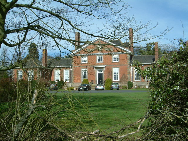
Wrottesley Hall

Wrottesley Hall is a 1923-built Grade II listed house in the civil parish of Perton, and historically part of Tettenhall in Staffordshire, England. The...

Perton

Perton is a large village and civil parish located in the South Staffordshire District, Staffordshire, England. It lies 3 miles to the south of Codsall...

Patshull

Patshull is a former civil parish, now in the parish of Pattingham and Patshull, in the South Staffordshire district, in the county of Staffordshire, England...

Patshull Hall

Patshull Hall is a substantial Georgian mansion house situated near Pattingham in Staffordshire, England. It is a Grade I listed building and by repute...

Rudge, Shropshire

Rudge is a settlement and civil parish about 6 miles east of Bridgnorth, in the Shropshire district, in the ceremonial county of Shropshire, England. In...

Nearby Amenities

Located within 500m of 52.595013,-2.249491
Power: tower
Source: bing
Lat/Long: 52.5913282/-2.2454943
Power: tower
Source: bing
Lat/Long: 52.5951096/-2.2453461
Power: tower
Source: bing
Lat/Long: 52.5972317/-2.2452826
Barrier: stile
Lat/Long: 52.5922746/-2.2455735
Power: pole
Lat/Long: 52.5928514/-2.2493788
Power: pole
Lat/Long: 52.5940362/-2.2492771
Power: pole
Lat/Long: 52.5946706/-2.2492309
Power: pole
Lat/Long: 52.595554/-2.2488797
Power: pole
Lat/Long: 52.598219/-2.2484267
Power: pole
Lat/Long: 52.5983669/-2.2475856
Power: pole
Lat/Long: 52.597728/-2.2522768
Power: pole
Lat/Long: 52.5968465/-2.2484102
Power: pole
Lat/Long: 52.596534/-2.2466385
Power: pole
Lat/Long: 52.595864/-2.2444078
The data included in this document is from www.openstreetmap.org. The data is made available under ODbL.

Have you been to Nurton Hill?

Leave your review of Nurton Hill below (or comments, questions and feedback).