Bibury

Settlement in Gloucestershire Cotswold

England

Bibury

Stone Stile, Bibury Actually in Arlington, the South/West side of Bibury. On Gloucestershire footpath KBY16. This view is looking SW from the farm track (KBY13). The view from the field is <a href="https://www.geograph.org.uk/photo/7060080">SP1106 : Stone Stile, Bibury</a>.
Stone Stile, Bibury Credit: Mr Red

Bibury is a picturesque village located in the Cotswold district of Gloucestershire, England. Situated on the banks of the River Coln, it is renowned for its idyllic setting and well-preserved ancient architecture. The village is approximately 40 miles away from the city of Gloucester and is easily accessible by road.

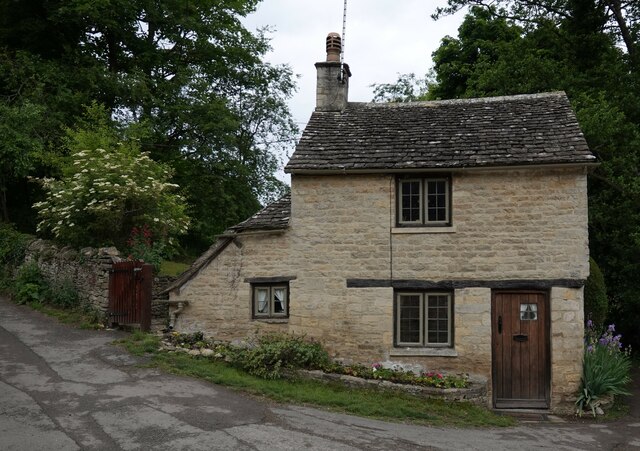
One of the main attractions in Bibury is Arlington Row, a row of 17th-century weavers' cottages that have become an iconic symbol of the village. These cottages, with their stone roofs and honey-colored limestone walls, are frequently photographed and admired by visitors. The area surrounding Arlington Row is also known for its beautiful gardens, offering a tranquil and serene ambiance.

Bibury boasts a rich history, dating back to the Roman era, and has been mentioned in the Domesday Book of 1086. The village has managed to retain much of its historical charm, with many of its buildings still standing from centuries ago. St. Mary's Church, a Grade I listed building, is another notable landmark in Bibury, featuring an impressive Norman architecture and an ancient sundial.

Aside from its architectural prominence, Bibury is also a popular spot for nature lovers and outdoor enthusiasts. The village is surrounded by stunning countryside, providing numerous walking and cycling trails. The River Coln offers opportunities for fishing and picnicking, while the nearby Bibury Trout Farm allows visitors to catch their own fish.

In summary, Bibury is a quintessential English village that attracts visitors with its timeless beauty, historic significance, and natural splendor. It is a destination that offers a peaceful retreat from urban life, allowing visitors to immerse themselves in the charm and tranquility of the Cotswolds.

If you have any feedback on the listing, please let us know in the comments section below.
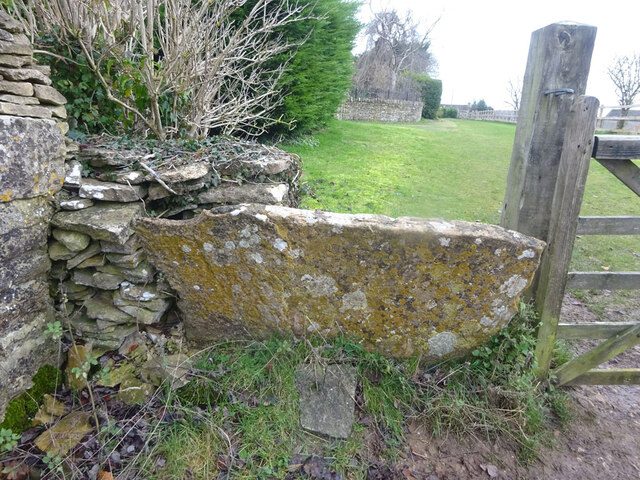
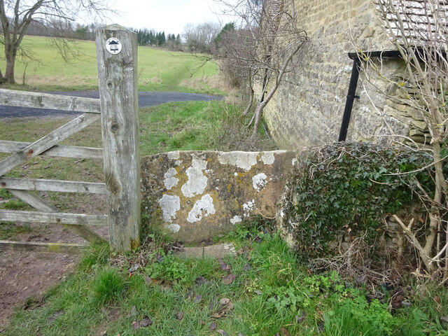
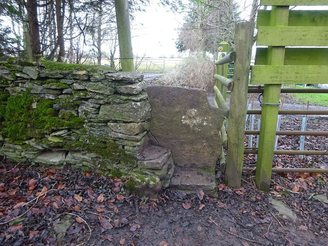
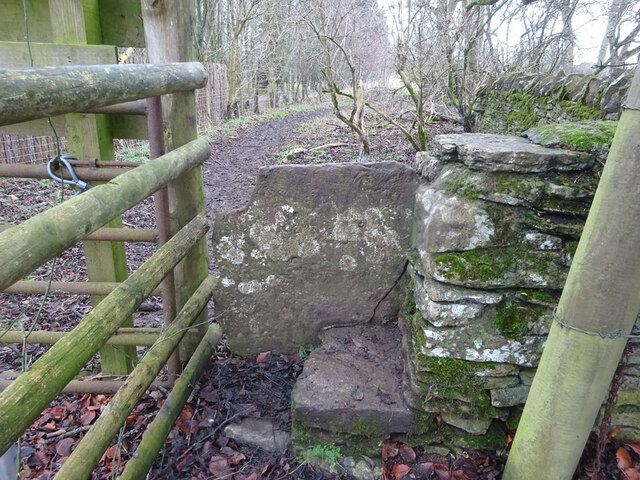
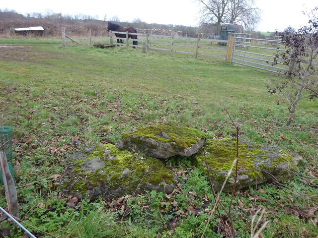
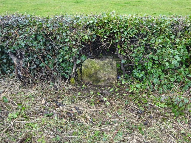
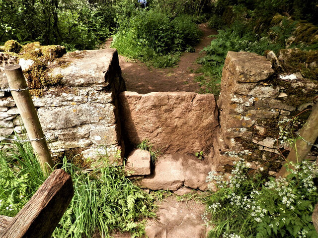
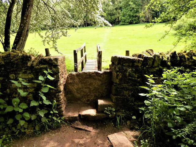
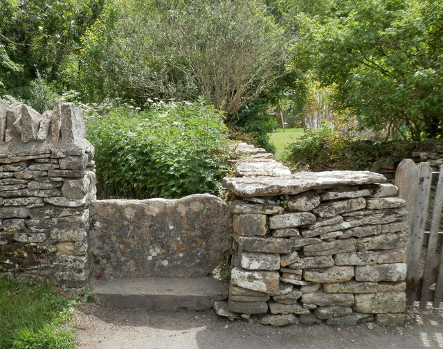
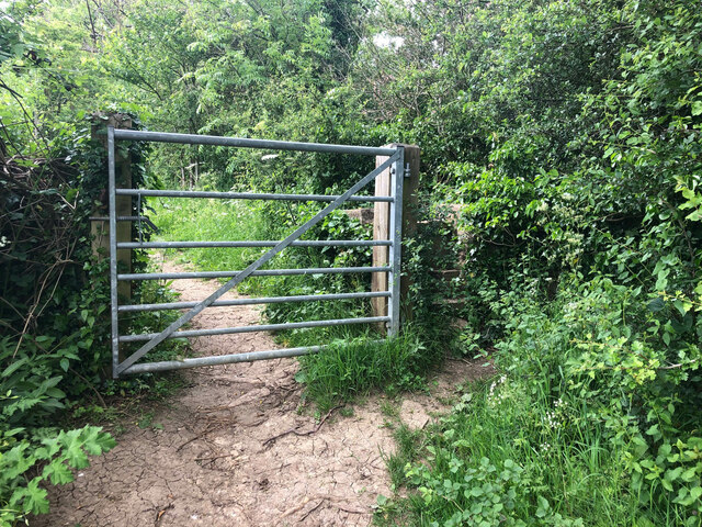
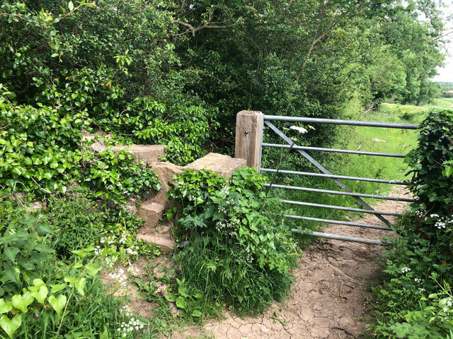
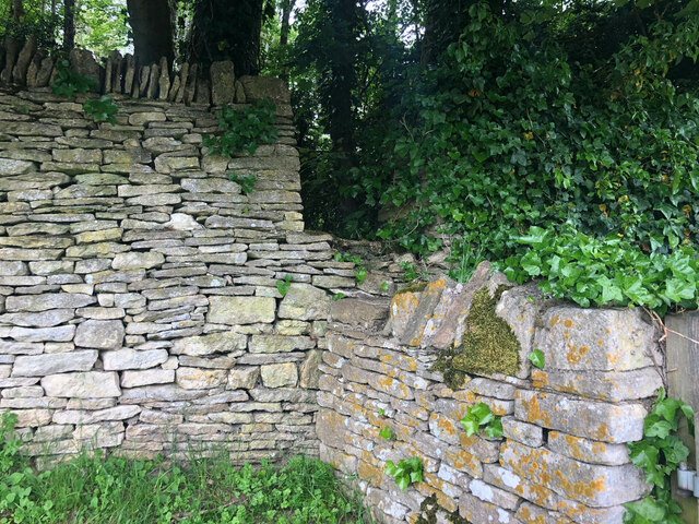
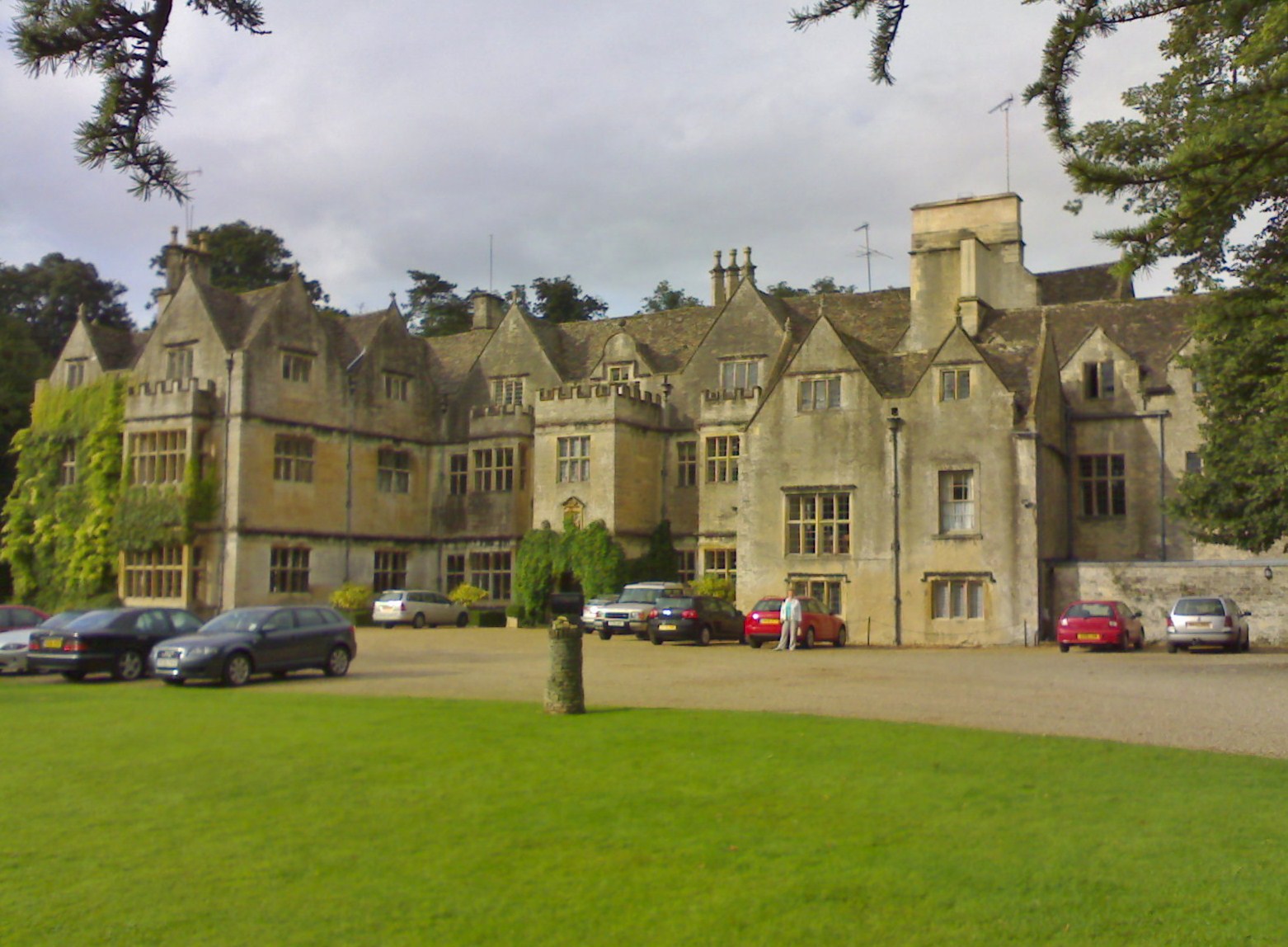
Bibury Images

Images are sourced within 2km of 51.760571/-1.835066 or Grid Reference SP1106. Thanks to Geograph Open Source API. All images are credited.

Stone Stile, Bibury Actually in Arlington, the South/West side of Bibury. On Gloucestershire footpath KBY16. This view is looking SW from the farm track (KBY13). The view from the field is <a href="https://www.geograph.org.uk/photo/7060080">SP1106 : Stone Stile, Bibury</a>.
Stone Stile, Bibury
Actually in Arlington, the South/West side of Bibury. On Gloucestershire footpath KBY16. This view is looking SW from the farm track (KBY13). The view from the field is SP1106 : Stone Stile, Bibury.
Stone Stile, Bibury Actually in Arlington, the South/West side of Bibury. On Gloucestershire footpath KBY16. This view is looking NE to the farm track (KBY13). The view from the track is <a href="https://www.geograph.org.uk/photo/7060078">SP1106 : Stone Stile, Bibury</a>.
Stone Stile, Bibury
Actually in Arlington, the South/West side of Bibury. On Gloucestershire footpath KBY16. This view is looking NE to the farm track (KBY13). The view from the track is SP1106 : Stone Stile, Bibury.
Stone Stile, Bibury Looking SE on Gloucestershire footpaths KBY16 & KBY11. The other side, footpath KBY15 runs NE towards the famous Arlington Row that Bibury is noted for. The view from that footpath is <a href="https://www.geograph.org.uk/photo/7060088">SP1106 : Stone Stile, Bibury</a>.
Stone Stile, Bibury
Looking SE on Gloucestershire footpaths KBY16 & KBY11. The other side, footpath KBY15 runs NE towards the famous Arlington Row that Bibury is noted for. The view from that footpath is SP1106 : Stone Stile, Bibury.
Stone Stile, Bibury Looking NW to Gloucestershire footpaths KBY16 & KBY11. This side the footpath KBY15 runs NE towards the famous Arlington Row that Bibury is noted for. The view from the fields is <a href="https://www.geograph.org.uk/photo/7060086">SP1106 : Stone Stile, Bibury</a>.
Stone Stile, Bibury
Looking NW to Gloucestershire footpaths KBY16 & KBY11. This side the footpath KBY15 runs NE towards the famous Arlington Row that Bibury is noted for. The view from the fields is SP1106 : Stone Stile, Bibury.
Stone Stile, Bibury In the area known as Arlington Corner, on the Gloucestershire footpath KBY18 looking SE. The view NW is <a href="https://www.geograph.org.uk/photo/7060092">SP1006 : Stone Stile, Bibury</a>. The route has labels naming it "The Palladian Way (an Architectural trail)"
Stone Stile, Bibury
In the area known as Arlington Corner, on the Gloucestershire footpath KBY18 looking SE. The view NW is SP1006 : Stone Stile, Bibury. The route has labels naming it "The Palladian Way (an Architectural trail)"
Stone Stile, Bibury In the area known as Arlington Corner, on the Gloucestershire footpath KBY18 looking NW to fields. The view SE is <a href="https://www.geograph.org.uk/photo/7060090">SP1006 : Stone Stile, Bibury</a>. The route has labels naming it "The Palladian Way (an Architectural trail)"
Stone Stile, Bibury
In the area known as Arlington Corner, on the Gloucestershire footpath KBY18 looking NW to fields. The view SE is SP1006 : Stone Stile, Bibury. The route has labels naming it "The Palladian Way (an Architectural trail)"
Stone Stile, Bibury On Pudding Hill Farm along the Gloucestershire footpath KBY18 looking NW. The view looking SE is <a href="https://www.geograph.org.uk/photo/7060100">SP1006 : Stone Stile, Bibury</a>.
Stone Stile, Bibury
On Pudding Hill Farm along the Gloucestershire footpath KBY18 looking NW. The view looking SE is SP1006 : Stone Stile, Bibury.
Stone Stile, Bibury On Pudding Hill Farm along the Gloucestershire footpath KBY18 looking SE. The view looking NW is <a href="https://www.geograph.org.uk/photo/7060099">SP1006 : Stone Stile, Bibury</a>.
Stone Stile, Bibury
On Pudding Hill Farm along the Gloucestershire footpath KBY18 looking SE. The view looking NW is SP1006 : Stone Stile, Bibury.
Stone Stile, Bibury Fallen idles. The one in the foreground is about 1m from the current route of Gloucestershire footpath KBY18 and a wooden stile. The pile due North near the horse are similarly close to a farm track. At least one of these groups was probably the remains of a stone stile. An old farm house called Upper Severalls is to the NW, Ablington further NNW. The field beyond the hedges is the site of Rowberrow Camp, a series of ditches surrounding several small tumps.
Stone Stile, Bibury
Fallen idles. The one in the foreground is about 1m from the current route of Gloucestershire footpath KBY18 and a wooden stile. The pile due North near the horse are similarly close to a farm track. At least one of these groups was probably the remains of a stone stile. An old farm house called Upper Severalls is to the NW, Ablington further NNW. The field beyond the hedges is the site of Rowberrow Camp, a series of ditches surrounding several small tumps.
Old Milestone, near Bibury About ½ a mile NE of the village. Carved stone post by the B4425, in the parish of BIBURY (COTSWOLD District), NE of Bibury Farm, by the road. Bibury marker, erected by the Bibury & Dancy's Fancy turnpike trust in the 19th century.

Inscription once read: Cirencester 8 / Burford 9

Milestone Society National ID: GL_CIBF08
Old Milestone, near Bibury
About ½ a mile NE of the village. Carved stone post by the B4425, in the parish of BIBURY (COTSWOLD District), NE of Bibury Farm, by the road. Bibury marker, erected by the Bibury & Dancy's Fancy turnpike trust in the 19th century. Inscription once read: Cirencester 8 / Burford 9 Milestone Society National ID: GL_CIBF08
Stone Stile, Bibury/Quenington GS2403 On the boundary of Bibury and Quenington with Gloucestershire footpaths KBY13A, BQU3 (left) & BQU2 (right) looking SE. The view looking NW is <a href="https://www.geograph.org.uk/photo/7265278">SP1205 : Stone Stile, Bibury/Quenington GS2403</a>.
Stone Stile, Bibury/Quenington GS2403
On the boundary of Bibury and Quenington with Gloucestershire footpaths KBY13A, BQU3 (left) & BQU2 (right) looking SE. The view looking NW is SP1205 : Stone Stile, Bibury/Quenington GS2403.
Stone Stile, Bibury/Quenington GS2403 On the boundary of Bibury and Quenington with Gloucestershire footpaths KBY13A (background), BQU3 & BQU2, view is looking NW. The view looking SE is <a href="https://www.geograph.org.uk/photo/7265278">SP1205 : Stone Stile, Bibury/Quenington GS2403</a>.
Stone Stile, Bibury/Quenington GS2403
On the boundary of Bibury and Quenington with Gloucestershire footpaths KBY13A (background), BQU3 & BQU2, view is looking NW. The view looking SE is SP1205 : Stone Stile, Bibury/Quenington GS2403.
Stone Stile, Bibury GS2404 Off Awkward Hill (aka Arlington Row, i.e. the houses) on Gloucestershire footpath KBY10 looking South.
Stone Stile, Bibury GS2404
Off Awkward Hill (aka Arlington Row, i.e. the houses) on Gloucestershire footpath KBY10 looking South.
Cottage on Awkward Hill, Bibury
Stone Stile, Bibury On Gloucestershire footpath KBY13, South of Bibury Cricket Ground. Looking NW, the view East is <a href="https://www.geograph.org.uk/photo/7317324">SP1106 : Stone Stile, Bibury</a>.
Stone Stile, Bibury
On Gloucestershire footpath KBY13, South of Bibury Cricket Ground. Looking NW, the view East is SP1106 : Stone Stile, Bibury.
Stone Stile, Bibury On Gloucestershire footpath KBY13, South of Bibury Cricket Ground. Looking East, the view NW is <a href="https://www.geograph.org.uk/photo/7317323">SP1106 : Stone Stile, Bibury</a>.
Stone Stile, Bibury
On Gloucestershire footpath KBY13, South of Bibury Cricket Ground. Looking East, the view NW is SP1106 : Stone Stile, Bibury.
Stone Stile, Bibury A private step stile off Gloucestershire bridleway KBY8 near Bibury Farm and Court Farm. Looking West, the view East from the stile is <a href="https://www.geograph.org.uk/photo/7317347">SP1206 : Stone Stile, Bibury</a>.
Stone Stile, Bibury
A private step stile off Gloucestershire bridleway KBY8 near Bibury Farm and Court Farm. Looking West, the view East from the stile is SP1206 : Stone Stile, Bibury.
Stone Stile, Bibury A private step stile off Gloucestershire bridleway KBY8 near Bibury Farm and Court Farm. Looking East from the stile, the view West is <a href="https://www.geograph.org.uk/photo/7317346">SP1206 : Stone Stile, Bibury</a>.
Stone Stile, Bibury
A private step stile off Gloucestershire bridleway KBY8 near Bibury Farm and Court Farm. Looking East from the stile, the view West is SP1206 : Stone Stile, Bibury.
Show me another place!

Bibury is located at Grid Ref: SP1106 (Lat: 51.760571, Lng: -1.835066)

Administrative County: Gloucestershire

District: Cotswold

Police Authority: Gloucestershire

What 3 Words

///collides.unrealistic.reserves. Near Fairford, Gloucestershire

Related Wikis

Nearby Amenities

Located within 500m of 51.760571,-1.835066
Bibury
Place: village
Postal Code: GL7 5
Wikidata: Q856722
Wikipedia: en:Bibury
Lat/Long: 51.7596669/-1.8333562
Post Box
Ref: GL7 61
Lat/Long: 51.7591632/-1.8389214
Telephone
Booth: K6
Covered: booth
Listed Status: Grade II
Operator: BT
Operator Wikidata: Q593786
Phone: +44 1285 740322
Postal Code: GL7 5NS
Source: survey
Lat/Long: 51.7586419/-1.8306173
Post Office
Bibury Post Office
Addr City: Cirencester
Addr Country: GB
Addr Housenumber: 10
Addr Postcode: GL7 5NP
Addr Street: The Street
Addr Village: Bibury
Opening Hours: Mo,We,Fr 10:00-17:00; Sa 10:00-11:30
Ref Pol Id: 14115
Lat/Long: 51.7586374/-1.8332932
Bus Stop
Arlington Mill
Bus: yes
Naptan AtcoCode: 1600GL391
Naptan Bearing: NE
Naptan CommonName: Arlington Mill
Naptan Indicator: Opp
Naptan NaptanCode: glogdjdw
Naptan Street: B4425
Naptan Verified: no
Public Transport: platform
Source: naptan_import
Lat/Long: 51.7602937/-1.836376
Bus Stop
Arlington Mill
Bus: yes
Naptan AtcoCode: 1600GL392
Naptan Bearing: SW
Naptan CommonName: Arlington Mill
Naptan Indicator: Opp
Naptan NaptanCode: glogdjgj
Naptan Street: B4425
Naptan Verified: no
Public Transport: platform
Source: naptan_import
Lat/Long: 51.7602504/-1.8361605
Bus Stop
Bibury School
Bus: yes
Naptan AtcoCode: 1600GL5506
Naptan Bearing: SW
Naptan CommonName: Bibury School
Naptan NaptanCode: glogdjpw
Naptan Street: Church Road
Naptan Verified: no
Public Transport: platform
Source: naptan_import
Lat/Long: 51.7574338/-1.8306499
Bus Stop
The Square
Bus: yes
Naptan AtcoCode: 1600GL5507
Naptan Bearing: NE
Naptan CommonName: The Square
Naptan Indicator: Opp
Naptan NaptanCode: glogdjpm
Naptan Street: B4425
Naptan Verified: no
Public Transport: platform
Source: naptan_import
Lat/Long: 51.7588278/-1.8308145
Bus Stop
The Square
Bus: yes
Naptan AtcoCode: 1600GL5508
Naptan Bearing: NE
Naptan CommonName: The Square
Naptan NaptanCode: glogdjpt
Naptan Street: B4425
Naptan Verified: no
Public Transport: platform
Source: naptan_import
Lat/Long: 51.7587018/-1.8307425
Bus Stop
Swan Hotel
Bus: yes
Naptan AtcoCode: 1600GLC239
Naptan Bearing: SE
Naptan CommonName: Swan Hotel
Naptan NaptanCode: glogdjgt
Naptan Street: Ablington Rd
Naptan Verified: no
Public Transport: platform
Source: naptan_import
Lat/Long: 51.7607939/-1.835067
Bus Stop
Swan Hotel
Bus: yes
Naptan AtcoCode: 1600GLC240
Naptan Bearing: NW
Naptan CommonName: Swan Hotel
Naptan Indicator: Opp
Naptan NaptanCode: glogdjgp
Naptan Street: Ablington Rd
Naptan Verified: no
Public Transport: platform
Source: naptan_import
Lat/Long: 51.7607306/-1.835132
Bus Stop
Bridge House
Bus: yes
Naptan AtcoCode: 1600GLC355
Naptan Bearing: SE
Naptan CommonName: Bridge House
Naptan NaptanCode: glogdjmg
Naptan Street: B4425
Naptan Verified: no
Public Transport: platform
Source: naptan_import
Lat/Long: 51.7591377/-1.8337691
Bus Stop
Bridge House
Bus: yes
Naptan AtcoCode: 1600GLC356
Naptan Bearing: NW
Naptan CommonName: Bridge House
Naptan Indicator: Opp
Naptan NaptanCode: glogdjma
Naptan Street: B4425
Naptan Verified: no
Public Transport: platform
Source: naptan_import
Lat/Long: 51.7591141/-1.8338966
Bus Stop
Village Hall
Bus: yes
Naptan AtcoCode: 1600GLC381
Naptan Bearing: NE
Naptan CommonName: Village Hall
Naptan Indicator: Opp
Naptan NaptanCode: glogdjpg
Naptan Street: B4425
Naptan Verified: no
Public Transport: platform
Source: naptan_import
Lat/Long: 51.7581012/-1.8320053
Bus Stop
Village Hall
Bus: yes
Naptan AtcoCode: 1600GLC382
Naptan Bearing: W
Naptan CommonName: Village Hall
Naptan NaptanCode: glogdjpd
Naptan Street: B4425
Naptan Verified: no
Public Transport: platform
Source: naptan_import
Lat/Long: 51.7580023/-1.8320346
Bus Stop
Bibury Post Office
Bus: yes
Naptan AtcoCode: 1600GLC401
Naptan Bearing: NE
Naptan CommonName: Bibury Post Office
Naptan NaptanCode: glogdjaw
Naptan Street: B4425
Naptan Verified: no
Public Transport: platform
Source: naptan_import
Lat/Long: 51.7594498/-1.8381369
Bus Stop
Bibury Post Office
Bus: yes
Naptan AtcoCode: 1600GLC402
Naptan Bearing: SW
Naptan CommonName: Bibury Post Office
Naptan Indicator: Opp
Naptan NaptanCode: glogdjda
Naptan Street: B4425
Naptan Verified: no
Public Transport: platform
Source: naptan_import
Lat/Long: 51.7594403/-1.8379698
Telephone
Booth: K6
Covered: booth
Listed Status: Grade II
Operator: BT
Operator Wikidata: Q593786
Payment Coins: no
Phone: +44 1285 740283
Lat/Long: 51.7585946/-1.8408956
Toilets
Access: yes
Charge: 0.20 GBP
Fee: yes
Unisex: yes
Lat/Long: 51.7591698/-1.8336482
Post Box
Note: Out of Service (06/11/23)
Operator: Royal Mail
Post Box Type: wall
Ref: GL7 62
Royal Cypher: GR
Royal Cypher Wikidata: Q33102273
Lat/Long: 51.7588225/-1.8307413
Barrier: kissing_gate
Lat/Long: 51.7566304/-1.8346568
Barrier: stile
Lat/Long: 51.7575026/-1.8377696
Power: pole
Lat/Long: 51.7565049/-1.8367656
Power: pole
Lat/Long: 51.7569036/-1.836138
Power: pole
Lat/Long: 51.7572089/-1.8356766
Restaurant
Lat/Long: 51.7604517/-1.8364195
Shop: convenience
Lat/Long: 51.7605037/-1.836377
Shop: convenience
Lat/Long: 51.7586243/-1.8332842
Bus Stop
Bibury - Post Office
Bus: yes
Bus Lines: 855
Public Transport: platform
Lat/Long: 51.7586127/-1.8334651
Defibrillator
Emergency: defibrillator
Opening Hours: 24/7
Lat/Long: 51.7602506/-1.836087
Leisure: playground
Lat/Long: 51.7611971/-1.8362134
Name Zh: 阿灵顿排房拍摄点
Tourism: viewpoint
Lat/Long: 51.7587425/-1.8335673
Toilets
Access: yes
Lat/Long: 51.7603756/-1.8364388
Restaurant
The Gallery
Phone: +441285740695
Website: https://www.cotswold-inns-hotels.co.uk/swan
Lat/Long: 51.7606788/-1.8349114
Restaurant
The Swan Hotel
Addr Postcode: GL7 5NW
Operator: Cotswold Inns & Hotels
Phone: +441285740695
Tourism: hotel
Website: https://www.cotswold-inns-hotels.co.uk/the-swan-hotel/
Wikidata: Q26380811
Lat/Long: 51.760774/-1.8348965
Charging Station
The Swan Hotel
Access: customers
Capacity: 1
Fee: yes
Operator: Pod Point
Operator Wikidata: Q42888154
Payment App: yes
Ref: Lois-Lily
Lat/Long: 51.7610392/-1.8350897
The data included in this document is from www.openstreetmap.org. The data is made available under ODbL.

Have you been to Bibury?

Leave your review of Bibury below (or comments, questions and feedback).