Bewlie
Settlement in Roxburghshire
Scotland
Bewlie
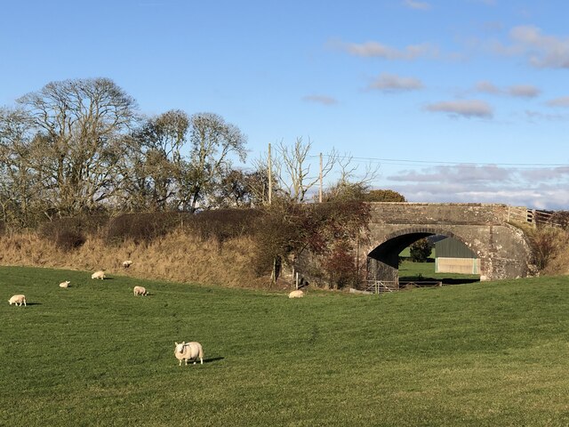
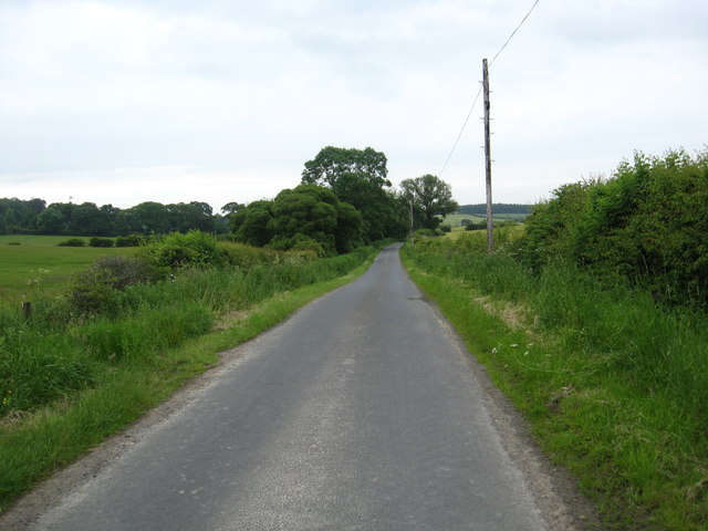
Bewlie is a small village located in the county of Roxburghshire, in the Scottish Borders region of Scotland. It lies approximately 4 miles to the southwest of the town of Hawick and is situated on the banks of the River Teviot.
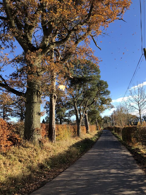
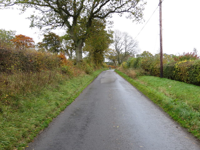
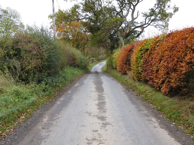
The village of Bewlie is known for its picturesque surroundings and tranquil atmosphere. It is surrounded by rolling hills and lush green fields, making it an ideal location for those seeking a peaceful retreat in the countryside. The landscape offers numerous opportunities for outdoor activities such as hiking, cycling, and fishing.
Despite its small size, Bewlie has a rich history that can be traced back several centuries. The area was once home to several mills that played a significant role in the local economy. Today, remnants of these mills can still be seen, adding to the village's historical charm.
In terms of amenities, Bewlie is relatively limited. The village does not have a primary school or a dedicated medical facility. However, residents can easily access these services in nearby towns such as Hawick. There is a small community center in Bewlie that serves as a gathering place for local events and activities.
Overall, Bewlie offers a serene and idyllic setting for those seeking a quiet rural lifestyle. Its beautiful surroundings and historical significance make it an attractive destination for nature lovers and history enthusiasts alike.
If you have any feedback on the listing, please let us know in the comments section below.
Bewlie Images
Images are sourced within 2km of 55.51676/-2.6983643 or Grid Reference NT5625. Thanks to Geograph Open Source API. All images are credited.


Bewlie is located at Grid Ref: NT5625 (Lat: 55.51676, Lng: -2.6983643)
Unitary Authority: The Scottish Borders
Police Authority: The Lothians and Scottish Borders
What 3 Words
///unsettled.tame.slanting. Near Saint Boswells, Scottish Borders
Nearby Locations
Related Wikis

Old Belses
Old Belses is a village by the Ale Water, in the Parish of Ancrum, in the Scottish Borders of Scotland, in the historic county of Roxburghshire. Other...

Belses
Belses is a village on the Ale Water, in the Scottish Borders area of Scotland the former Selkirkshire. It is situated close to Old Belses, and lies south...
Belses railway station
Belses railway station served the village of Belses, Scottish Borders, Scotland from 1849 to 1969 on the Waverley Route. == History == The station opened...

Lilliesleaf
Lilliesleaf is a small village and civil parish 7 miles (11 km) south east of Selkirk in the Roxburghshire area of Scottish Borders of Scotland. Other...
Lothian and Borders
Lothian and Borders is an area in Scotland consisting of the East Lothian, City of Edinburgh, Midlothian, West Lothian council areas (collectively known...
Craigmount School
Craigmount School was a private school originally for boys, but for most of its history for girls, in Edinburgh. It opened in 1874 and closed in 1966....

Charlesfield Halt railway station
Charlesfield Halt railway station served the village of Charlesfield, Melrose, Scotland, from 1942 to 1961 on the Waverley Route. == History == The station...
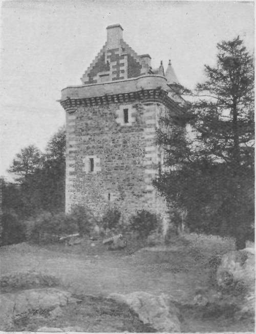
Fatlips Castle
Fatlips Castle is a peel tower in Roxburghshire, in the Scottish Borders. Situated at the top of Minto Crags, above the River Teviot, it was built in the...
Nearby Amenities
Located within 500m of 55.51676,-2.6983643Have you been to Bewlie?
Leave your review of Bewlie below (or comments, questions and feedback).