Bewaldeth

Settlement in Cumberland Allerdale

England

Bewaldeth

The road towards Fell End
The road towards Fell End Credit: David Brown

Bewaldeth is a small village located in the county of Cumberland, England. Situated in the picturesque Lake District National Park, it offers a tranquil and idyllic setting for residents and visitors alike. The village is nestled amidst rolling hills and surrounded by lush green forests, providing a breathtaking backdrop for outdoor enthusiasts and nature lovers.

With a population of around 150 people, Bewaldeth is a close-knit community where a sense of community spirit is palpable. The village is characterized by its charming stone houses and well-maintained gardens, adding to its overall quaint and picturesque appeal.

Despite its small size, Bewaldeth has a rich history dating back several centuries. The village is home to St. Mary's Church, a historic place of worship that dates back to the 12th century. The church features beautiful stained glass windows and intricate stone carvings, making it a notable attraction for history buffs and architecture enthusiasts.

While Bewaldeth may be a peaceful and tranquil village, it is also conveniently located near several amenities and attractions. The bustling market town of Cockermouth is just a short drive away, offering a range of shops, restaurants, and cultural events. Additionally, the stunning Lake District National Park surrounds the village, providing ample opportunities for hiking, boating, and exploring the great outdoors.

Overall, Bewaldeth is a charming village that offers a peaceful and scenic retreat for residents and visitors, making it a hidden gem within the Cumberland countryside.

If you have any feedback on the listing, please let us know in the comments section below.
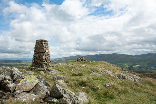
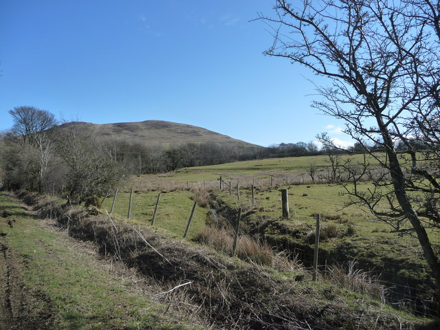
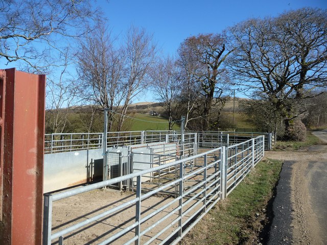
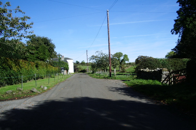
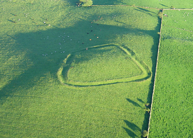
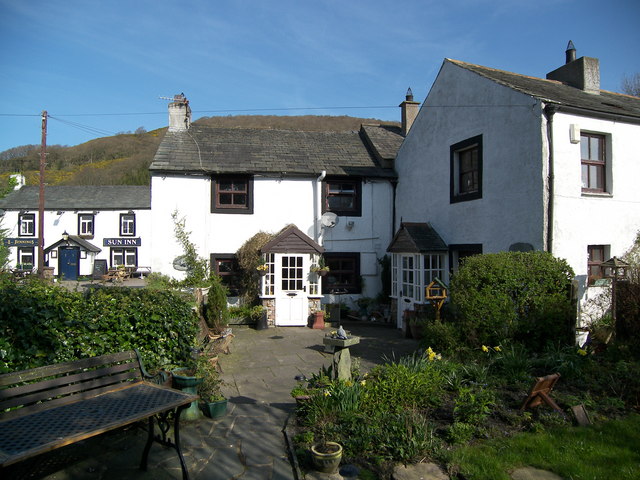
Bewaldeth Images

Images are sourced within 2km of 54.701624/-3.228293 or Grid Reference NY2034. Thanks to Geograph Open Source API. All images are credited.

The road towards Fell End
Triangulation Pillar, Binsey The stone built Ordnance Survey triangulation pillar on the summit of Binsey. The village of Uldale is visible in the left background, the northern fells of the Lake District rise in the right background and the north Pennines form the far horizon.
The flush bracket benchmark number S5707 on the south-southwest face of the pillar marks a height of 447.446m above sea level (Ordnance Datum Newlyn) levelled in 1952 (detail photograph <a href="https://www.geograph.org.uk/photo/7584505">NY2235 : Benchmark, Binsey</a>).
The triangulation pillar is still in use as an Ordnance Survey passive GPS station.
Triangulation Pillar, Binsey
The stone built Ordnance Survey triangulation pillar on the summit of Binsey. The village of Uldale is visible in the left background, the northern fells of the Lake District rise in the right background and the north Pennines form the far horizon. The flush bracket benchmark number S5707 on the south-southwest face of the pillar marks a height of 447.446m above sea level (Ordnance Datum Newlyn) levelled in 1952 (detail photograph NY2235 : Benchmark, Binsey). The triangulation pillar is still in use as an Ordnance Survey passive GPS station.
Benchmark, Binsey Detail of Ordnance Survey flush bracket benchmark number S5707 on the south-southwest face of the triangulation pillar on the summit of Binsey.  The benchmark marks a height of 447.446m above mean sea level (Ordnance Datum Newlyn) levelled in June 1952 (location photograph <a href="https://www.geograph.org.uk/photo/7583609">NY2235 : Triangulation Pillar, Binsey</a>).
Benchmark, Binsey
Detail of Ordnance Survey flush bracket benchmark number S5707 on the south-southwest face of the triangulation pillar on the summit of Binsey. The benchmark marks a height of 447.446m above mean sea level (Ordnance Datum Newlyn) levelled in June 1952 (location photograph NY2235 : Triangulation Pillar, Binsey).
Silage Baling near to Binsey Grass having been cut and dried (to one extent or another) and rolled into cylindrical bales is then gathered and wrapped in plastic sheeting by the clever piece of kit drawn by the tractor. Binsey is the hill in the background.
Silage Baling near to Binsey
Grass having been cut and dried (to one extent or another) and rolled into cylindrical bales is then gathered and wrapped in plastic sheeting by the clever piece of kit drawn by the tractor. Binsey is the hill in the background.
Rough grazing on slope of Whittas Park Whittas Park is an area of roughly vegetated ground north-west from Binsey in the north-western Lake District. Binsey lies to the left side of the image with the Skiddaw group of mountains to the right.
Rough grazing on slope of Whittas Park
Whittas Park is an area of roughly vegetated ground north-west from Binsey in the north-western Lake District. Binsey lies to the left side of the image with the Skiddaw group of mountains to the right.
Summit area of Binsey In addition to the trig point and cairn there's a shelter at the summit of this hill from beside which the photograph was taken. The highest of the distant peaks is Knott; other hills of the 'Northern Fells' surround it.
Summit area of Binsey
In addition to the trig point and cairn there's a shelter at the summit of this hill from beside which the photograph was taken. The highest of the distant peaks is Knott; other hills of the 'Northern Fells' surround it.
Road running west from Bewaldeth Heading towards Isel.
Road running west from Bewaldeth
Heading towards Isel.
Trees along Bewaldeth Beck On the north side of the road to Isel.
Trees along Bewaldeth Beck
On the north side of the road to Isel.
Issue-fed tributary of Bewaldeth Beck The hill on the horizon is Binsey.
Issue-fed tributary of Bewaldeth Beck
The hill on the horizon is Binsey.
Sheepfold alongside Bewaldeth Beck On the north side of the road to Isel.
Sheepfold alongside Bewaldeth Beck
On the north side of the road to Isel.
On Binsey Above Binsey's West Crag looking NW through early evening mist.
On Binsey
Above Binsey's West Crag looking NW through early evening mist.
Cairn on Binsey Binsey's summit is marked by a trig point; this cairn is nearby.
Cairn on Binsey
Binsey's summit is marked by a trig point; this cairn is nearby.
View of Binsey From the road.
View of Binsey
From the road.
Track to Binsey Binsey ahead.
Track to Binsey
Binsey ahead.
View of Bassenthwaite Lake Looking SSW.
View of Bassenthwaite Lake
Looking SSW.
Binsey summit Very windy today.
Binsey summit
Very windy today.
View of Skiddaw View from the road.
View of Skiddaw
View from the road.
Binsey from the south Looking up at Binsey from the road.
Binsey from the south
Looking up at Binsey from the road.
Show me another place!

Bewaldeth is located at Grid Ref: NY2034 (Lat: 54.701624, Lng: -3.228293)

Administrative County: Cumbria

District: Allerdale

Police Authority: Cumbria

What 3 Words

///limits.dwell.sweat. Near Aspatria, Cumbria

Nearby Locations

Bewaldeth

Related Wikis

Bewaldeth and Snittlegarth

Bewaldeth and Snittlegarth is a civil parish in Cumbria, England, historically part of Cumberland. It lies north of Bassenthwaite Lake, in the Lake District...

Binsey

Binsey is a hill on the northern edge of the Lake District in Cumbria, England. It is detached from the rest of the Lakeland hills, and thus provides a...

Bassenfell Manor

Bassenfell Manor is a manor house in Bassenthwaite, Cumbria, overlooking Bassenthwaite Lake in England's Lake District. It is used as a Christian residential...

Armathwaite Hall

Armathwaite Hall is a luxury hotel and spa adjacent to Bassenthwaite Lake, in Cumbria. == History == The present hall dates back to circa 1500; it was...

Sunderland, Cumbria

Sunderland is a hamlet and former civil parish, within the Lake District National Park, now in the parish of Blindcrake in the Allerdale district of the...

Caer Mote

Caer Mote is a hill of 289 metres (948 ft) in the north of the English Lake District near Bothel, Cumbria. Its summit lies just outside the boundary of...

Bassenthwaite

Bassenthwaite is a village and civil parish to the west of Bassenthwaite Lake in Cumbria, historically part of Cumberland, within the Lake District National...

St Bega's Way

St Bega's Way is a 36-mile (58 km) walk through rural West Cumbria and the north west corner of the English Lake District. It is usually completed as a...

Nearby Amenities

Located within 500m of 54.701624,-3.228293
Bus Stop
Bewaldeth Road End (N)
Naptan AtcoCode: 090002060548
Naptan Bearing: N
Naptan CommonName: Bewaldeth Road End (N)
Naptan Indicator: opp
Naptan Landmark: junction to Bewaldeth
Naptan NaptanCode: cumdmwgm
Naptan Street: A591
Naptan Verified: no
Source: naptan_import
Lat/Long: 54.7026852/-3.2294086
Bus Stop
Bewaldeth Road End
Local Ref: ON
Naptan AtcoCode: 090002060549
Naptan Bearing: S
Naptan CommonName: Bewaldeth Road End
Naptan Indicator: on
Naptan Landmark: Slip road to Bewaldeth
Naptan NaptanCode: cumadagw
Naptan Street: A591
Naptan Verified: no
Source: naptan_import
Lat/Long: 54.7026703/-3.2291133
Power: pole
Lat/Long: 54.6984864/-3.223165
Power: pole
Lat/Long: 54.6991312/-3.2235512
Power: pole
Lat/Long: 54.6998411/-3.2233554
Power: pole
Lat/Long: 54.70063/-3.2231784
Power: pole
Lat/Long: 54.7014282/-3.2229772
Power: pole
Lat/Long: 54.7021861/-3.2228163
Power: pole
Lat/Long: 54.7029285/-3.2226446
Power: pole
Lat/Long: 54.703691/-3.2224488
Power: pole
Lat/Long: 54.7044535/-3.2222611
Telephone
Booth: K6
Covered: booth
Lat/Long: 54.701936/-3.2283877
Post Box
Post Box Type: lamp
Royal Cypher: EIIR
Royal Cypher Wikidata: Q33102113
Lat/Long: 54.7014866/-3.225448
Power: pole
Lat/Long: 54.7009513/-3.2349779
Power: pole
Lat/Long: 54.7014995/-3.2333017
Power: pole
Lat/Long: 54.7018996/-3.2320946
Power: pole
Lat/Long: 54.701939/-3.2306519
Power: pole
Lat/Long: 54.7018661/-3.2295193
Power: pole
Lat/Long: 54.701515/-3.2281014
Power: pole
Lat/Long: 54.701269/-3.2270824
Power: pole
Lat/Long: 54.7004903/-3.2260262
Power: pole
Lat/Long: 54.699911/-3.2252552
Power: pole
Lat/Long: 54.6990415/-3.224073
Power: pole
Lat/Long: 54.6987656/-3.2225249
The data included in this document is from www.openstreetmap.org. The data is made available under ODbL.

Have you been to Bewaldeth?

Leave your review of Bewaldeth below (or comments, questions and feedback).