Bevington

Settlement in Gloucestershire Stroud

England

Bevington

Hill (Glos) St Michael's Church
Hill (Glos) St Michael's Church Credit: ChurchCrawler

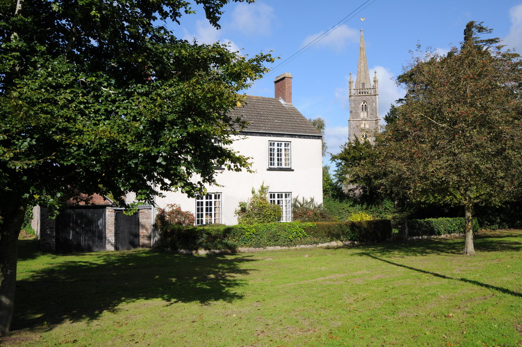
Bevington is a small village located in the county of Gloucestershire, England. It is situated in the picturesque Cotswolds, known for its rolling hills and charming rural landscapes. Bevington is nestled in the heart of this region, offering its residents and visitors a tranquil and idyllic setting.

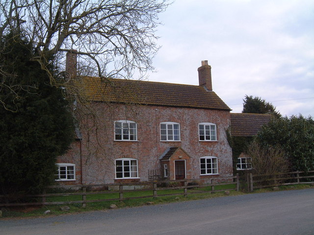
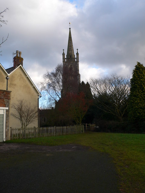
The village is home to a tight-knit community, with a population of around 200 people. The residents take great pride in their village, and its well-preserved architecture reflects its rich history. Many of the buildings in Bevington date back several centuries, including the beautiful St. Mary's Church, which is a prominent feature in the village.

Despite its small size, Bevington offers a range of amenities to cater to the needs of its residents. There is a local pub, The Red Lion, which serves as a social hub for the community and offers delicious traditional British cuisine. The village also has a primary school, providing education for the younger members of the community.

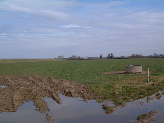
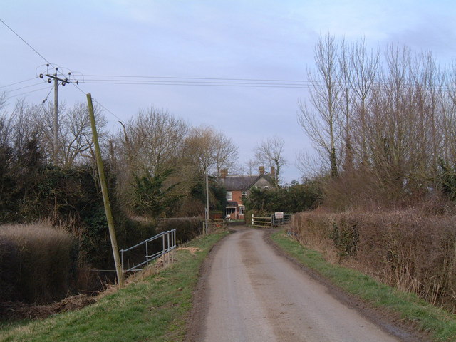
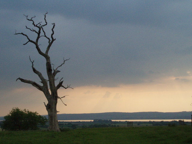
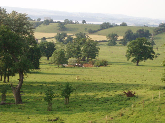
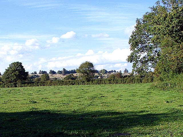
Surrounded by lush green fields and picturesque countryside, Bevington is a haven for nature lovers and outdoor enthusiasts. There are several walking and cycling routes that allow visitors to explore the stunning surroundings. The village is also in close proximity to the Cotswold Way, a long-distance footpath that stretches for 102 miles, offering breathtaking views of the region.

Bevington is a charming village that encapsulates the beauty and tranquility of the Cotswolds. With its rich history, close-knit community, and stunning natural landscapes, it is a place that offers a peaceful retreat from the hustle and bustle of city life.

If you have any feedback on the listing, please let us know in the comments section below.

Bevington Images

Images are sourced within 2km of 51.670216/-2.499142 or Grid Reference ST6596. Thanks to Geograph Open Source API. All images are credited.

Hill (Glos) St Michael's Church
Woodlands Farm, Berkeley An isolated farm in the Vale of Berkeley
Woodlands Farm, Berkeley
An isolated farm in the Vale of Berkeley
Farmland near Berkeley Power Station Looking north from Severn Lane, towards the towers of the decommissioned power station.
Farmland near Berkeley Power Station
Looking north from Severn Lane, towards the towers of the decommissioned power station.
Severn Lane, Berkeley Severn Lane is a no-through-road, ending here at Severn House Farm. Looking west along the final few yards of public road, the River Severn is invisible behind the farmhouse.
Severn Lane, Berkeley
Severn Lane is a no-through-road, ending here at Severn House Farm. Looking west along the final few yards of public road, the River Severn is invisible behind the farmhouse.
Park House Folly Built in the 19th Century, Park House Folly stands in a prominent position in Whitcliff Deer Park in the Severn Vale.
Park House Folly
Built in the 19th Century, Park House Folly stands in a prominent position in Whitcliff Deer Park in the Severn Vale.
Wood in Whitcliff Deer park The Countryside Stewardship Scheme is replacing modern conifer plantations in the park.  They aim to ensure the survival of the ancient trees and enhance the historic landscape of the park by planting trees which reflect its medieval character.
Wood in Whitcliff Deer park
The Countryside Stewardship Scheme is replacing modern conifer plantations in the park. They aim to ensure the survival of the ancient trees and enhance the historic landscape of the park by planting trees which reflect its medieval character.
Thunder in the air A view from Whitcliff deer park looking towards the river Severn with heavy, black thunder clouds rolling in from the south-west.  The dead oak suggests forked lightning could be on its way.
Thunder in the air
A view from Whitcliff deer park looking towards the river Severn with heavy, black thunder clouds rolling in from the south-west. The dead oak suggests forked lightning could be on its way.
Pond The pond lies in the lower ground of Whitcliff deer park, has a square shape and is probably a man-made watering hole for the deer which roam in the park.  The river Severn can be seen in the background.
Pond
The pond lies in the lower ground of Whitcliff deer park, has a square shape and is probably a man-made watering hole for the deer which roam in the park. The river Severn can be seen in the background.
Field near Hystfield
Berkeley Power Station glimpsed through the trees Standing on the footpath in Whitcliff Park, looking through a gap in the trees towards Berkeley Power Station <a href="https://www.geograph.org.uk/gridref/ST6599">ST6599</a>.
Berkeley Power Station glimpsed through the trees
Standing on the footpath in Whitcliff Park, looking through a gap in the trees towards Berkeley Power Station ST6599.
Whitcliff Deer Park Looking along the footpath which runs along the ridge of Whitcliff Deer Park.
Whitcliff Deer Park
Looking along the footpath which runs along the ridge of Whitcliff Deer Park.
Deer in Whitcliff Park The deer park was first enclosed in the 13th century, though this wall dates from the 1770's. The deer were disturbed by someone walking down by the wall.
The building beyond the wall is Pedington Farm.
Deer in Whitcliff Park
The deer park was first enclosed in the 13th century, though this wall dates from the 1770's. The deer were disturbed by someone walking down by the wall. The building beyond the wall is Pedington Farm.
Puff Ball near Appleridge Farm Giant Puffball, Calvatia gigantea growing in the field. It was about 5 inches by 9 inches in size.
Puff Ball near Appleridge Farm
Giant Puffball, Calvatia gigantea growing in the field. It was about 5 inches by 9 inches in size.
Looking across the fields towards Whitcliff Park The brown longer grass of Whitcliff Park forms the ridge on the horizon in an otherwise flat landscape. The ridge is Devonian Old Red sandstone.
Looking across the fields towards Whitcliff Park
The brown longer grass of Whitcliff Park forms the ridge on the horizon in an otherwise flat landscape. The ridge is Devonian Old Red sandstone.
View from Whitcliff Park Looking east whilst standing on the ridge that forms Whitcliff Park.
View from Whitcliff Park
Looking east whilst standing on the ridge that forms Whitcliff Park.
Dead tree in Whitcliff Park There were several dead trees in the park, presumably left to provide a habitat. In the background the river Severn can just be seen.
Dead tree in Whitcliff Park
There were several dead trees in the park, presumably left to provide a habitat. In the background the river Severn can just be seen.
Whitcliff Park looking downhill
Derelict house in Whitcliff Park I wouldn't want to use that chimney.
Derelict house in Whitcliff Park
I wouldn't want to use that chimney.
Show me another place!

Bevington is located at Grid Ref: ST6596 (Lat: 51.670216, Lng: -2.499142)

Administrative County: Gloucestershire

District: Stroud

Police Authority: Gloucestershire

What 3 Words

///best.nuns.inclines. Near Hill, Gloucestershire

Nearby Locations

Bevington

Related Wikis

Ham and Stone

Ham and Stone is a civil parish in the Stroud district, in the county of Gloucestershire, England. It includes the settlements of Bevington, Ham, Hystfield...

Hill, Gloucestershire

Hill is a village and civil parish in South Gloucestershire, England, midway between the towns of Thornbury in South Gloucestershire and Berkeley in Gloucestershire...

SGS Berkeley Green UTC

SGS Berkeley Green UTC is a university technical college in Berkeley, Gloucestershire, England. It opened in September 2017, and is part of SGS Academy...

Vale of Berkeley College

The Vale of Berkeley College was a small school located in Wanswell Berkeley, Gloucestershire, England. The school closed in July 2011. == External... ==

Berkeley nuclear power station

Berkeley nuclear power station is a former Magnox nuclear power station situated on the bank of the River Severn in Gloucestershire, England. The ongoing...

The Salutation Inn

The Salutation Inn is a pub in Ham, Berkeley, Gloucestershire, England. It was CAMRA's National Pub of the Year for 2014. == References == == External... ==

Stone, Gloucestershire

Stone is a small village in the parish of Ham and Stone, Gloucestershire, England. It stands on the A38 road, just south-west of its crossing of the Little...

Little Avon River

The Little Avon River is a small river partly in southern Gloucestershire and partly in South Gloucestershire. For much of its length it forms the boundary...

Nearby Amenities

Located within 500m of 51.670216,-2.499142
Barrier: stile
Stile: stepover
Lat/Long: 51.6699382/-2.4950261
Bevington
Place: hamlet
Source: OS OpenData StreetView
Lat/Long: 51.6702528/-2.4964296
Bevington Farm
Landuse: farm
Note Retag: CS #48756035
Source: OS OpenData StreetView
Lat/Long: 51.6692144/-2.4941872
Pottinger's Farm
Landuse: farm
Note Retag: CS #48756035
Source: OS OpenData StreetView
Lat/Long: 51.6709777/-2.4971698
Blisbury Farm
Landuse: farm
Note Retag: CS #48756035
Source: OS OpenData StreetView
Lat/Long: 51.6720094/-2.5014614
Post Box
Collection Times: Mo-Fr 16:30; Sa 10:00
Operator: Royal Mail
Post Box Type: wall
Ref: GL13 109
Royal Cypher: EVIIR
Royal Cypher Wikidata: Q33102324
Lat/Long: 51.6704368/-2.4972292
Barrier: stile
Lat/Long: 51.6702907/-2.4940778
The data included in this document is from www.openstreetmap.org. The data is made available under ODbL.

Have you been to Bevington?

Leave your review of Bevington below (or comments, questions and feedback).