North Newbald

Settlement in Yorkshire

England

North Newbald

Victorian postbox on South Newbald Road, South Newbald Postbox No. YO43 251.

See <a href="https://www.geograph.org.uk/photo/7023817">SE9135 : Farm buildings, South Newbald</a>, <a href="https://www.geograph.org.uk/photo/7023819">SE9135 : Cottages on South Newbald Road, South Newbald</a> and <a href="https://www.geograph.org.uk/photo/7023821">SE9135 : South Newbald Road, South Newbald</a> for context.
Victorian postbox on South Newbald Road, South Newbald Credit: JThomas

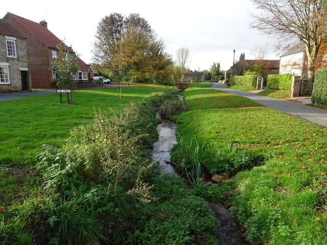
North Newbald is a picturesque village located in the East Riding of Yorkshire, England. Situated on the western edge of the Yorkshire Wolds, it is surrounded by rolling hills and stunning countryside. With a population of around 800 residents, it exudes a charming and close-knit community atmosphere.

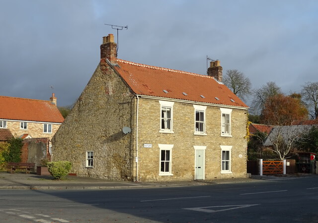
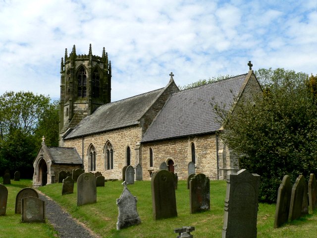
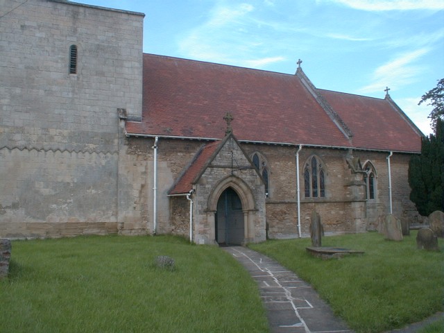
The village boasts a rich history that can be traced back to the Roman era. It is home to St. Nicholas Church, a Grade I listed building that dates back to the 13th century and showcases stunning architectural features. The village also features a number of well-preserved historic buildings, including traditional thatched cottages and quaint stone houses.

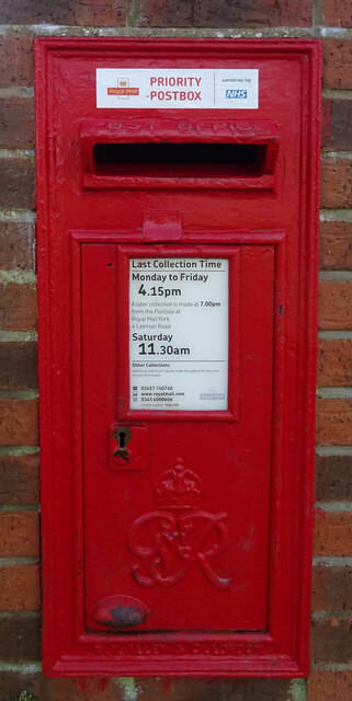
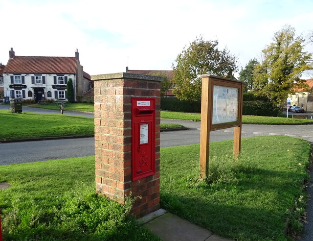
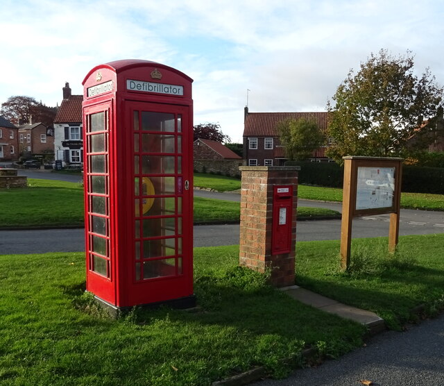
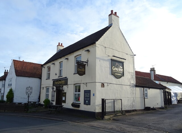
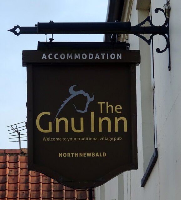
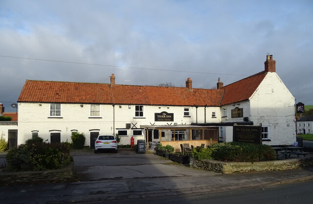
Despite its relatively small size, North Newbald offers a range of amenities and services to its residents and visitors. These include a village shop, a post office, a primary school, and a village hall which serves as a hub for local events and activities.

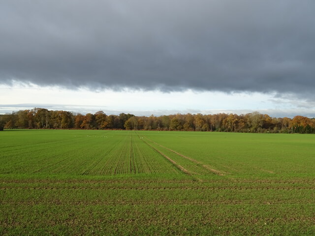
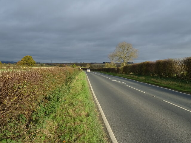
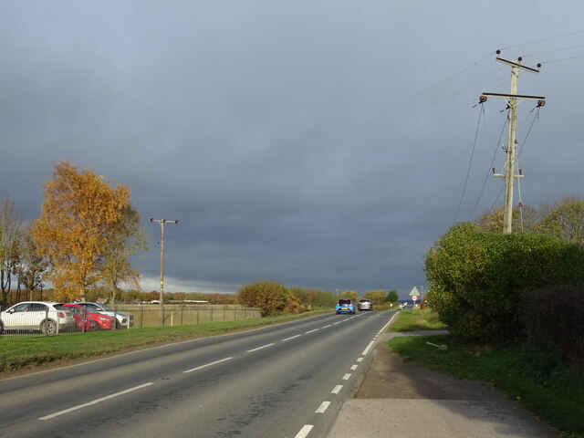
The surrounding countryside provides ample opportunities for outdoor enthusiasts, with numerous walking and cycling trails that offer breathtaking views of the Wolds. The village is also located within close proximity to the Yorkshire Wolds Way National Trail, a popular long-distance footpath.

North Newbald hosts a variety of annual events, such as the Summer Fete and the Christmas Market, which further enhance the community spirit. Additionally, the village has a thriving sports scene, with facilities for cricket, football, and tennis.

Overall, North Newbald is a quintessential Yorkshire village that combines natural beauty, historical charm, and a strong sense of community.

If you have any feedback on the listing, please let us know in the comments section below.

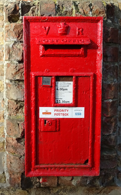
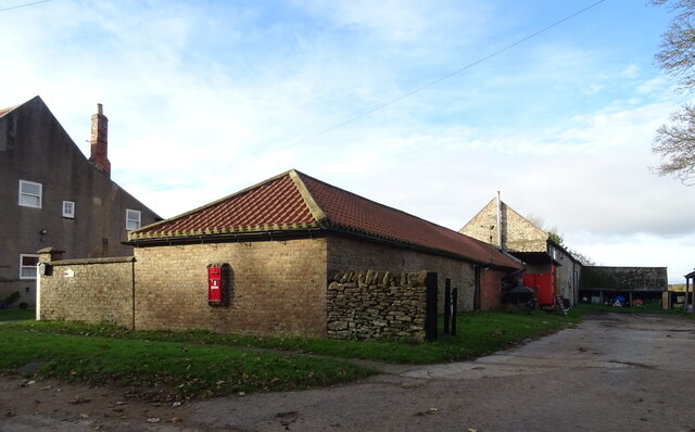
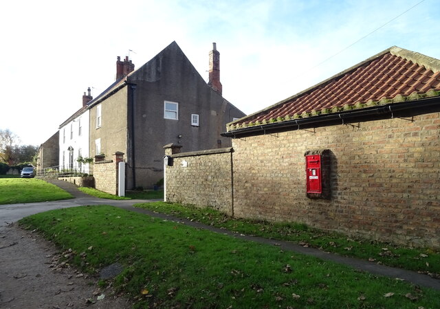
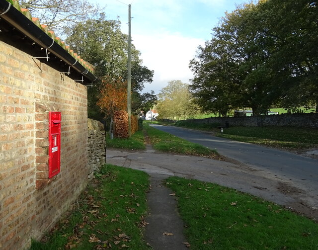
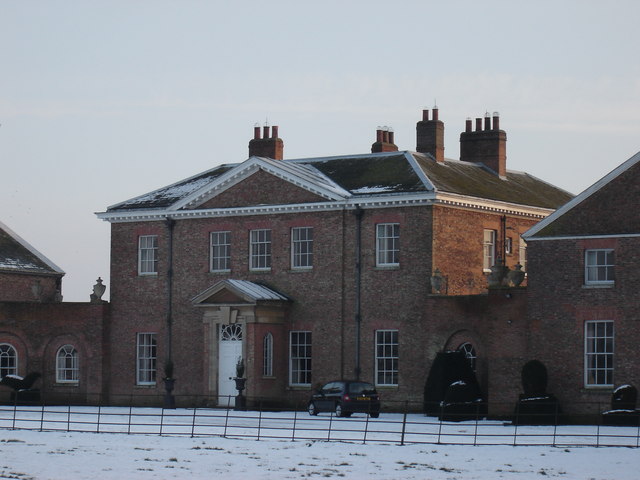
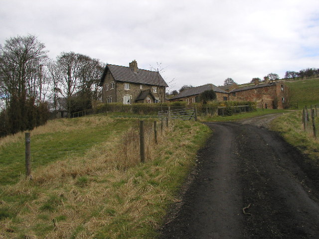
North Newbald Images

Images are sourced within 2km of 53.816912/-0.611505 or Grid Reference SE9136. Thanks to Geograph Open Source API. All images are credited.

Victorian postbox on South Newbald Road, South Newbald Postbox No. YO43 251.

See <a href="https://www.geograph.org.uk/photo/7023817">SE9135 : Farm buildings, South Newbald</a>, <a href="https://www.geograph.org.uk/photo/7023819">SE9135 : Cottages on South Newbald Road, South Newbald</a> and <a href="https://www.geograph.org.uk/photo/7023821">SE9135 : South Newbald Road, South Newbald</a> for context.
Victorian postbox on South Newbald Road, South Newbald
Farm buildings, South Newbald Showing position of Postbox No. YO43 251.

See <a href="https://www.geograph.org.uk/photo/7023814">SE9135 : Victorian postbox on South Newbald Road, South Newbald</a> for postbox.
Farm buildings, South Newbald
Showing position of Postbox No. YO43 251. See SE9135 : Victorian postbox on South Newbald Road, South Newbald for postbox.
Cottages on South Newbald Road, South Newbald Showing position of Postbox No. YO43 251.

See <a href="https://www.geograph.org.uk/photo/7023814">SE9135 : Victorian postbox on South Newbald Road, South Newbald</a> for postbox.
Cottages on South Newbald Road, South Newbald
Showing position of Postbox No. YO43 251. See SE9135 : Victorian postbox on South Newbald Road, South Newbald for postbox.
South Newbald Road, South Newbald Showing position of Postbox No. YO43 251.

See <a href="https://www.geograph.org.uk/photo/7023814">SE9135 : Victorian postbox on South Newbald Road, South Newbald</a> for postbox.
South Newbald Road, South Newbald
Showing position of Postbox No. YO43 251. See SE9135 : Victorian postbox on South Newbald Road, South Newbald for postbox.
George VI postbox, North Newbald Postbox No. YO43 351.

See <a href="https://www.geograph.org.uk/photo/7024072">SE9136 : George VI postbox and notice board, North Newbald</a> for context.
George VI postbox, North Newbald
Postbox No. YO43 351. See SE9136 : George VI postbox and notice board, North Newbald for context.
George VI postbox and notice board, North Newbald The Tiger public house in the distance.

Showing position of Postbox No. YO43 351.
See <a href="https://www.geograph.org.uk/photo/7024071">SE9136 : George VI postbox, North Newbald</a> for close up.
George VI postbox and notice board, North Newbald
The Tiger public house in the distance. Showing position of Postbox No. YO43 351. See SE9136 : George VI postbox, North Newbald for close up.
George VI postbox and telephone box, North Newbald Telephone box now houses a defibrillator.

Showing position of Postbox No. YO43 351.
See <a href="https://www.geograph.org.uk/photo/7024071">SE9136 : George VI postbox, North Newbald</a> for close up.
George VI postbox and telephone box, North Newbald
Telephone box now houses a defibrillator. Showing position of Postbox No. YO43 351. See SE9136 : George VI postbox, North Newbald for close up.
Crop field towards Rhododendron Wood West of the A1034.
Crop field towards Rhododendron Wood
West of the A1034.
Roman Road (A1034) towards Sancton
Factory on the A1034, North Newbald
A1034, North Newbald Roman road towards Sancton.
A1034, North Newbald
Roman road towards Sancton.
Ings Beck, North Newbald
Stone house, North Newbald
The Gnu Inn, North Newbald
Sign for the Gnu Inn, North Newbald
The Tiger Inn, North Newbald
Sign for the Tiger Inn, North Newbald
Show me another place!

North Newbald is located at Grid Ref: SE9136 (Lat: 53.816912, Lng: -0.611505)

Division: East Riding

Unitary Authority: East Riding of Yorkshire

Police Authority: Humberside

What 3 Words

///auctioned.reclining.unimpeded. Near North Newbald, East Yorkshire

Related Wikis

North Newbald

North Newbald is a village and former civil parish, now in the parish of Newbald, in the East Riding of Yorkshire, England. The village is situated approximately...

Newbald

Newbald is a civil parish in the East Riding of Yorkshire, England. It is situated approximately 8 miles (13 km) west of the market town of Beverley and...

South Newbald

South Newbald is a hamlet and former civil parish, now in the parish of Newbald, in the East Riding of Yorkshire, England. It is situated approximately...

Harthill Wapentake

Harthill was a wapentake of the historic East Riding of Yorkshire, England consisting of the central part of the county. Established in medieval times...

Sancton

For people with the surname, see Sancton (surname). Sancton is a village and civil parish in the East Riding of Yorkshire, England. It is situated approximately...

Hotham, East Riding of Yorkshire

Hotham is a small village and civil parish in the East Riding of Yorkshire, England. It is situated approximately 16 miles (26 km) west of Hull, 21 miles...

Houghton Hall, East Riding of Yorkshire

Houghton Hall, Sancton, near Market Weighton, is a Grade I listed Georgian country mansion in the East Riding of Yorkshire, England, set in an estate of...

Drewton

Drewton is a hamlet in the East Riding of Yorkshire, England. It is situated on the A1034 road, 6 miles (10 km) south-east from Market Weighton and 11...

Nearby Amenities

Located within 500m of 53.816912,-0.611505
North Newbald
Is In: East Riding of Yorkshire, England, UK
Is In County: East Riding of Yorkshire
Place: village
Wikidata: Q7056179
Lat/Long: 53.8195306/-0.6158286
Turning Circle
Lat/Long: 53.8180682/-0.6154635
Pub
The Tiger
Addr City: York
Addr Postcode: YO43 4SA
Addr Street: The Green
Addr Suburb: North Newbald
Wikidata: Q26630476
Lat/Long: 53.8186082/-0.6154586
Pub
The Gnu
Addr City: York
Addr Postcode: YO43 4SA
Addr Street: The Green
Addr Suburb: North Newbald
Lat/Long: 53.8183656/-0.6151526
North Newbald Eastgate
Naptan AtcoCode: 2200YEA00793
Naptan Bearing: S
Naptan BusStopType: CUS
Naptan CommonName: North Newbald Eastgate
Naptan Landmark: Near The Green
Naptan Street: Eastgate
Note: no stop on the ground
Shelter: no
Source: naptan + survey
Lat/Long: 53.8193938/-0.6150009
North Newbald Church
Naptan AtcoCode: 2200YEA00794
Naptan Bearing: NE
Naptan CommonName: North Newbald Church
Naptan Landmark: St Nicholas Church
Naptan Street: South Newbald Road
Physically Present: no
Source: naptan + survey
Lat/Long: 53.8171917/-0.6165774
North Newbald Burgate
Naptan AtcoCode: 2200YEA00808
Naptan Bearing: E
Naptan BusStopType: CUS
Naptan CommonName: North Newbald Burgate
Naptan Landmark: Corner Shop
Naptan Street: Burgate
Naptan Verified: no
Note: no stop on the ground
Shelter: no
Source: naptan + survey
Lat/Long: 53.8188753/-0.6144712
Post Box
Collection Times: Mo-Fr 16:15; Sa 11:30
Post Box Mounting: brick_pillar
Post Box Type: wall
Ref: YO43 351
Royal Cypher: GVIR
Royal Cypher Wikidata: Q33102169
Lat/Long: 53.8190038/-0.614966
Turning Circle
Lat/Long: 53.8157802/-0.6160712
Natural: spring
Lat/Long: 53.817587/-0.6095227
Natural: spring
Lat/Long: 53.8176409/-0.6091181
Natural: spring
Lat/Long: 53.8177003/-0.6090678
Natural: spring
Lat/Long: 53.817726/-0.6095113
Natural: spring
Lat/Long: 53.8180134/-0.6094221
Natural: spring
Lat/Long: 53.8180282/-0.6086541
Natural: spring
Lat/Long: 53.8180296/-0.6088324
Natural: spring
Lat/Long: 53.818035/-0.6091067
Natural: spring
Lat/Long: 53.8180363/-0.6085147
Defibrillator
Booth: K6
Covered: booth
Defibrillator Location: Iin red phone box on Village Green, North Newbald
Disused Amenity: telephone
Emergency: defibrillator
Indoor: no
Listed Status: Grade II
Man Made: telephone_box
Ref: CHT - 9037
Lat/Long: 53.8189959/-0.6149206
Bench
Backrest: yes
Material: stone
Lat/Long: 53.8188232/-0.6150654
Bench
Backrest: yes
Lat/Long: 53.8191981/-0.6153634
The Whipping Stone
Description: base of stone cross
Historic: ruins
Lat/Long: 53.8187878/-0.614983
Turning Circle
Lat/Long: 53.8174209/-0.6151973
Waste Basket
Colour: black
Waste: mixed
Lat/Long: 53.8188523/-0.6150737
Waste Basket
Colour: black
Waste: mixed
Lat/Long: 53.8189164/-0.6146714
Barrier: stile
Foot: designated
Lat/Long: 53.8141085/-0.6161925
The data included in this document is from www.openstreetmap.org. The data is made available under ODbL.

Have you been to North Newbald?

Leave your review of North Newbald below (or comments, questions and feedback).