Hunger Hill

Hill, Mountain in Yorkshire

England

Hunger Hill

Victorian postbox on South Newbald Road, South Newbald Postbox No. YO43 251.

See <a href="https://www.geograph.org.uk/photo/7023817">SE9135 : Farm buildings, South Newbald</a>, <a href="https://www.geograph.org.uk/photo/7023819">SE9135 : Cottages on South Newbald Road, South Newbald</a> and <a href="https://www.geograph.org.uk/photo/7023821">SE9135 : South Newbald Road, South Newbald</a> for context.
Victorian postbox on South Newbald Road, South Newbald Credit: JThomas

Hunger Hill is a prominent hill located in the county of Yorkshire, England. It is part of the North York Moors National Park and is situated near the village of Castleton. Rising to an elevation of 405 meters (1,329 feet), Hunger Hill offers breathtaking panoramic views of the surrounding countryside.

The hill is characterized by its distinct shape, with a gentle slope on one side and a steeper incline on the other. Its summit is adorned with heather moorland, providing a vibrant purple hue during the blooming season. The hill is a popular destination for hikers and nature enthusiasts, offering a variety of walking trails that cater to different difficulty levels.

Hunger Hill is known for its rich biodiversity, hosting a range of flora and fauna. Visitors can spot a variety of bird species, including red grouse and curlews, while the heather moorland provides a habitat for insects such as the common blue butterfly. The hill also boasts a diverse range of plant life, with species such as bilberry and cowberry thriving in the acidic soil.

In addition to its natural beauty, Hunger Hill holds historical significance. It is believed to have been a site of Iron Age settlements, and remnants of ancient burial mounds can still be found on its slopes. The hill's name is said to derive from the times when it was used for grazing livestock during times of scarce food, hence the term "hunger."

Overall, Hunger Hill offers a captivating blend of natural beauty, wildlife, and historical importance, making it a must-visit destination for those exploring the picturesque Yorkshire countryside.

If you have any feedback on the listing, please let us know in the comments section below.
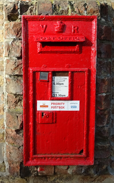
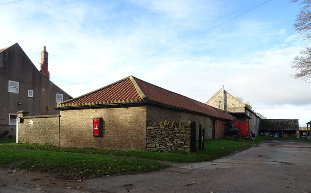
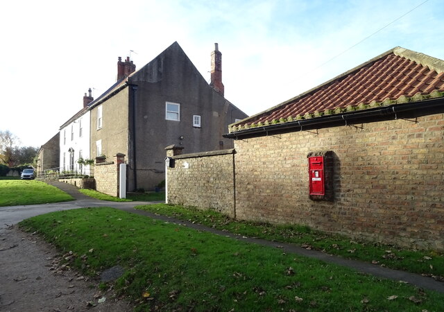
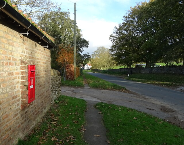
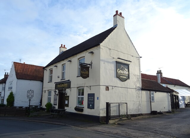
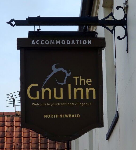
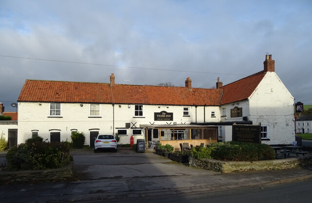
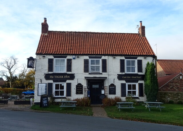
Hunger Hill Images

Images are sourced within 2km of 53.816214/-0.60518938 or Grid Reference SE9136. Thanks to Geograph Open Source API. All images are credited.

Victorian postbox on South Newbald Road, South Newbald Postbox No. YO43 251.

See <a href="https://www.geograph.org.uk/photo/7023817">SE9135 : Farm buildings, South Newbald</a>, <a href="https://www.geograph.org.uk/photo/7023819">SE9135 : Cottages on South Newbald Road, South Newbald</a> and <a href="https://www.geograph.org.uk/photo/7023821">SE9135 : South Newbald Road, South Newbald</a> for context.
Victorian postbox on South Newbald Road, South Newbald
Farm buildings, South Newbald Showing position of Postbox No. YO43 251.

See <a href="https://www.geograph.org.uk/photo/7023814">SE9135 : Victorian postbox on South Newbald Road, South Newbald</a> for postbox.
Farm buildings, South Newbald
Showing position of Postbox No. YO43 251. See SE9135 : Victorian postbox on South Newbald Road, South Newbald for postbox.
Cottages on South Newbald Road, South Newbald Showing position of Postbox No. YO43 251.

See <a href="https://www.geograph.org.uk/photo/7023814">SE9135 : Victorian postbox on South Newbald Road, South Newbald</a> for postbox.
Cottages on South Newbald Road, South Newbald
Showing position of Postbox No. YO43 251. See SE9135 : Victorian postbox on South Newbald Road, South Newbald for postbox.
South Newbald Road, South Newbald Showing position of Postbox No. YO43 251.

See <a href="https://www.geograph.org.uk/photo/7023814">SE9135 : Victorian postbox on South Newbald Road, South Newbald</a> for postbox.
South Newbald Road, South Newbald
Showing position of Postbox No. YO43 251. See SE9135 : Victorian postbox on South Newbald Road, South Newbald for postbox.
George VI postbox, North Newbald Postbox No. YO43 351.

See <a href="https://www.geograph.org.uk/photo/7024072">SE9136 : George VI postbox and notice board, North Newbald</a> for context.
George VI postbox, North Newbald
Postbox No. YO43 351. See SE9136 : George VI postbox and notice board, North Newbald for context.
George VI postbox and notice board, North Newbald The Tiger public house in the distance.

Showing position of Postbox No. YO43 351.
See <a href="https://www.geograph.org.uk/photo/7024071">SE9136 : George VI postbox, North Newbald</a> for close up.
George VI postbox and notice board, North Newbald
The Tiger public house in the distance. Showing position of Postbox No. YO43 351. See SE9136 : George VI postbox, North Newbald for close up.
George VI postbox and telephone box, North Newbald Telephone box now houses a defibrillator.

Showing position of Postbox No. YO43 351.
See <a href="https://www.geograph.org.uk/photo/7024071">SE9136 : George VI postbox, North Newbald</a> for close up.
George VI postbox and telephone box, North Newbald
Telephone box now houses a defibrillator. Showing position of Postbox No. YO43 351. See SE9136 : George VI postbox, North Newbald for close up.
Roman Road (A1034) towards Sancton
Factory on the A1034, North Newbald
A1034, North Newbald Roman road towards Sancton.
A1034, North Newbald
Roman road towards Sancton.
Ings Beck, North Newbald
Stone house, North Newbald
The Gnu Inn, North Newbald
Sign for the Gnu Inn, North Newbald
The Tiger Inn, North Newbald
Sign for the Tiger Inn, North Newbald
The Green, North Newbald
Show me another place!

Hunger Hill is located at Grid Ref: SE9136 (Lat: 53.816214, Lng: -0.60518938)

Division: East Riding

Unitary Authority: East Riding of Yorkshire

Police Authority: Humberside

What 3 Words

///blanked.graceful.lushly. Near North Newbald, East Yorkshire

Related Wikis

North Newbald

North Newbald is a village and former civil parish, now in the parish of Newbald, in the East Riding of Yorkshire, England. The village is situated approximately...

Newbald

Newbald is a civil parish in the East Riding of Yorkshire, England. It is situated approximately 8 miles (13 km) west of the market town of Beverley and...

South Newbald

South Newbald is a hamlet and former civil parish, now in the parish of Newbald, in the East Riding of Yorkshire, England. It is situated approximately...

Sancton

For people with the surname, see Sancton (surname). Sancton is a village and civil parish in the East Riding of Yorkshire, England. It is situated approximately...

Nearby Amenities

Located within 500m of 53.816214,-0.60518938
Natural: spring
Lat/Long: 53.817587/-0.6095227
Natural: spring
Lat/Long: 53.8176409/-0.6091181
Natural: spring
Lat/Long: 53.8177003/-0.6090678
Natural: spring
Lat/Long: 53.817726/-0.6095113
Natural: spring
Lat/Long: 53.8180134/-0.6094221
Natural: spring
Lat/Long: 53.8180282/-0.6086541
Natural: spring
Lat/Long: 53.8180296/-0.6088324
Natural: spring
Lat/Long: 53.818035/-0.6091067
Natural: spring
Lat/Long: 53.8180363/-0.6085147
The data included in this document is from www.openstreetmap.org. The data is made available under ODbL.

Have you been to Hunger Hill?

Leave your review of Hunger Hill below (or comments, questions and feedback).