Middleton, North

Settlement in Northumberland

England

Middleton, North

Towards the bridge over Lilburn Burn Looking towards the bridge carrying the A697 over the stream.
Towards the bridge over Lilburn Burn Credit: DS Pugh

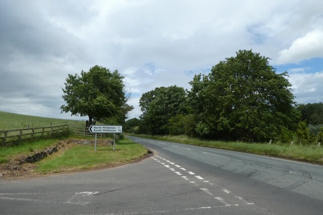
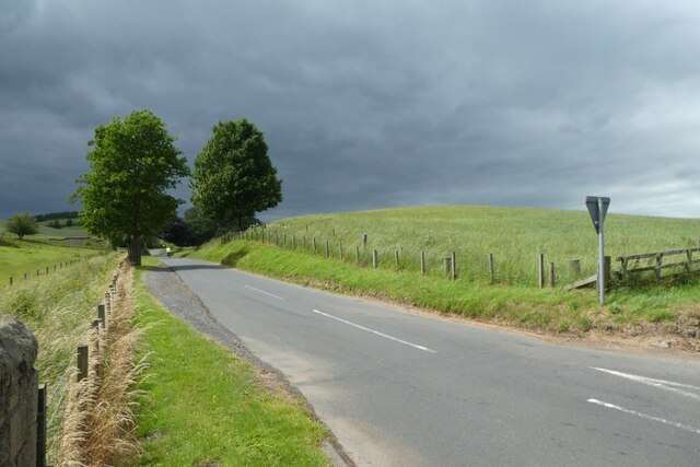
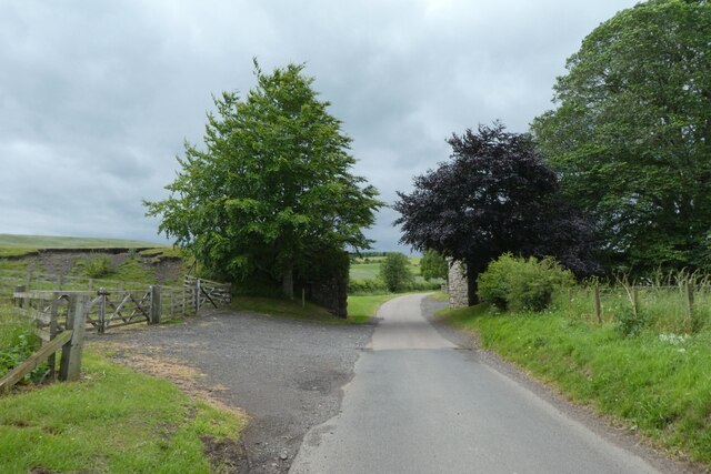
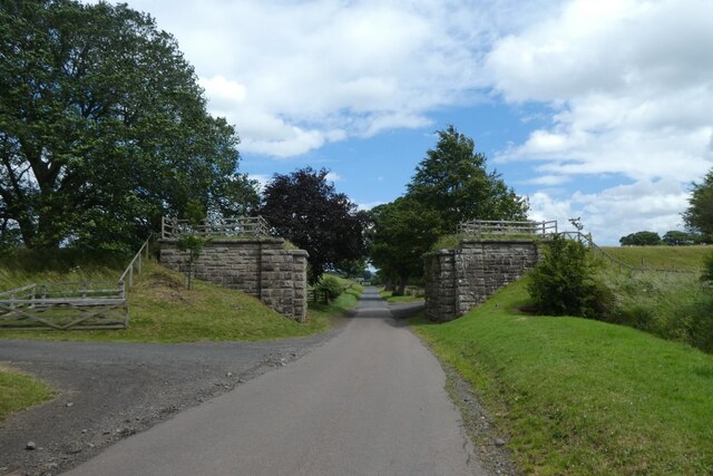
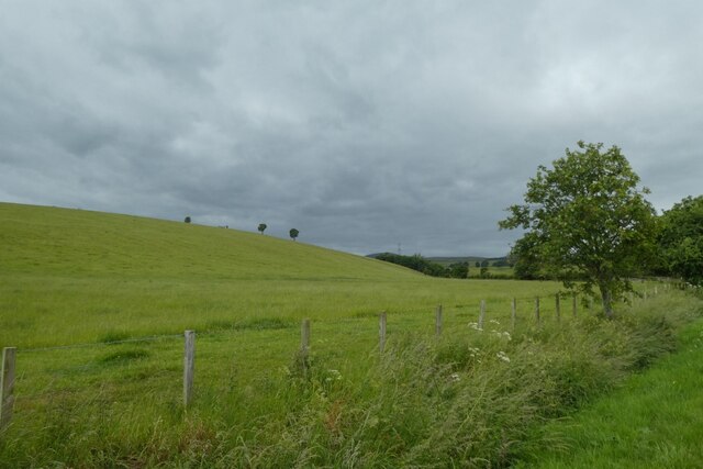
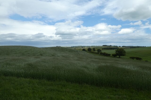
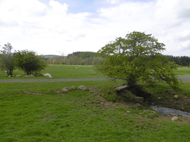
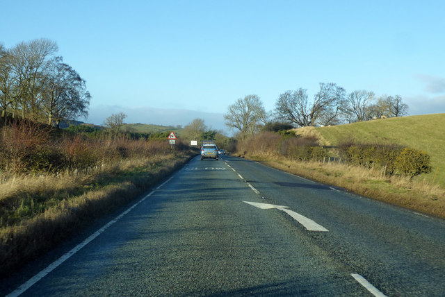
Middleton is a small village located in the Northumberland region of North England. Situated in the northern part of the county, Middleton is a part of the civil parish of Belford. The village is nestled in a picturesque rural setting, surrounded by rolling hills and stunning natural landscapes.

Despite its small size, Middleton boasts a rich history and heritage. It is home to several historic buildings and landmarks, including the 12th-century St. Mary's Church, which is a prominent feature in the village. The church's striking architecture and well-preserved interior attract visitors who are interested in medieval history.

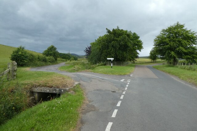
The village itself offers a peace and tranquility that is characteristic of the Northumberland countryside. The local community is close-knit and friendly, with a strong sense of community spirit. Middleton is also known for its traditional country pubs, where locals and visitors can enjoy a pint of ale and sample delicious regional cuisine.

For nature lovers, Middleton provides ample opportunities for outdoor activities. The surrounding countryside is perfect for hiking, cycling, and exploring the Northumberland National Park. Additionally, the nearby North Sea coastline offers stunning beaches and coastal walks.

In terms of amenities, Middleton has a limited range of shops and services. However, the nearby towns of Belford and Berwick-upon-Tweed provide residents with access to a wider range of facilities, including supermarkets, schools, and healthcare services.

Overall, Middleton in Northumberland is a charming village that offers a peaceful rural lifestyle, rich history, and stunning natural beauty. It is an ideal destination for those seeking a slower pace of life and a close connection with nature.

If you have any feedback on the listing, please let us know in the comments section below.

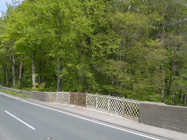
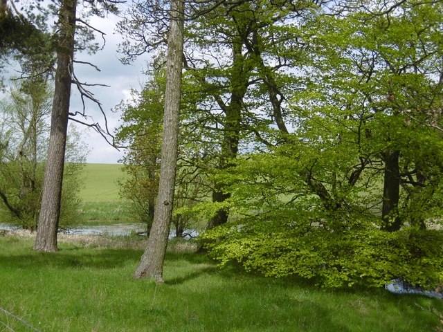
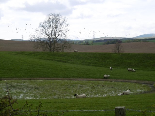
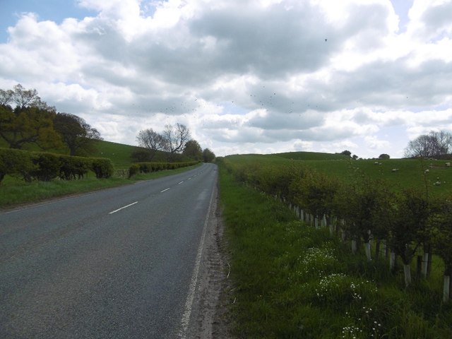
Middleton, North Images

Images are sourced within 2km of 55.511418/-2.002815 or Grid Reference NT9924. Thanks to Geograph Open Source API. All images are credited.

Towards the bridge over Lilburn Burn Looking towards the bridge carrying the A697 over the stream.
Towards the bridge over Lilburn Burn
Looking towards the bridge carrying the A697 over the stream.
Lilburn Burn Looking along Lilburn Burn from the A697.
Lilburn Burn
Looking along Lilburn Burn from the A697.
Junction on the A697 Looking along the main road to Wooler at the junction for Middleton.
Junction on the A697
Looking along the main road to Wooler at the junction for Middleton.
Road to Middleton Looking along the road from the junction with the A697.
Road to Middleton
Looking along the road from the junction with the A697.
Former railway bridge Looking along the road to Middleton where the former railway line to Wooler crossed the road. Information on the Cornhill Branch line can be found in this Wikipedia article: <span class="nowrap"><a title="https://en.wikipedia.org/wiki/Cornhill_Branch" rel="nofollow ugc noopener" href="https://en.wikipedia.org/wiki/Cornhill_Branch">Link</a><img style="margin-left:2px;" alt="External link" title="External link - shift click to open in new window" src="https://s1.geograph.org.uk/img/external.png" width="10" height="10"/></span>
Former railway bridge
Looking along the road to Middleton where the former railway line to Wooler crossed the road. Information on the Cornhill Branch line can be found in this Wikipedia article: LinkExternal link
Former bridge on the Cornhill Branch Looking along the road from Middleton where the former railway line to Wooler crossed the road. Information on the Cornhill Branch line can be found in this Wikipedia article: <span class="nowrap"><a title="https://en.wikipedia.org/wiki/Cornhill_Branch" rel="nofollow ugc noopener" href="https://en.wikipedia.org/wiki/Cornhill_Branch">Link</a><img style="margin-left:2px;" alt="External link" title="External link - shift click to open in new window" src="https://s1.geograph.org.uk/img/external.png" width="10" height="10"/></span>
Former bridge on the Cornhill Branch
Looking along the road from Middleton where the former railway line to Wooler crossed the road. Information on the Cornhill Branch line can be found in this Wikipedia article: LinkExternal link
Fields near Middleton Looking across pasture beside the road to Middleton.
Fields near Middleton
Looking across pasture beside the road to Middleton.
Junction for North Middleton South Middleton is to the left with North Middleton and Wooler ahead.
Junction for North Middleton
South Middleton is to the left with North Middleton and Wooler ahead.
Fields beside the road to North Middleton Looking across the rolling fields to the west of the A697.
Fields beside the road to North Middleton
Looking across the rolling fields to the west of the A697.
Ordnance Survey Cut Mark This OS cut mark can be found on the garage at North Middleton Farm. It marks a point 126.968m above mean sea level.
Ordnance Survey Cut Mark
This OS cut mark can be found on the garage at North Middleton Farm. It marks a point 126.968m above mean sea level.
Lilburn Burn Running through parkland, upstream of the A697.
Lilburn Burn
Running through parkland, upstream of the A697.
Lilburn  West Bridge Ironwork on the A697. Out of sight is a very interesting structure - see <a href="https://www.geograph.org.uk/photo/2177987">NU0123 : Lilburn West Bridge near East Lilburn</a>
Lilburn West Bridge
Ironwork on the A697. Out of sight is a very interesting structure - see NU0123 : Lilburn West Bridge near East Lilburn
Woodland, Lilburn Trees and pond beside the A697.
Woodland, Lilburn
Trees and pond beside the A697.
Wet depression A vegetated pond in a kettle hole.  The background slope is not a kame, but a former railway embankment on the Cornhill Branch of the North Eastern Railway.
Wet depression
A vegetated pond in a kettle hole. The background slope is not a kame, but a former railway embankment on the Cornhill Branch of the North Eastern Railway.
A697 South of Wooler.
A697
South of Wooler.
The showground The Glendale Show is held on this field. Once a railway passed here.
The showground
The Glendale Show is held on this field. Once a railway passed here.
Old Milepost by the A697, near Lilburn Tower, Lilburn Cast iron post by the A697, in parish of LILBURN (BERWICK UPON TWEED District), near Lilburn Tower, in cutting, against stone wall, on East side of road. MOR/COR iron post, erected by the Percy's Cross to Millfield turnpike trust in the 19th century. 

Inscription reads:-
: MOR / 28 : : L / 315 : : E / 63 : : COR / 16 :
(To Morpeth, London, Edinburgh and Cornhill) 

Northumberland HER listed.
Reference number: N16817 <span class="nowrap"><a title="https://www.heritagegateway.org.uk/Gateway/Results_Single.aspx?uid=N16817&resourceID=110" rel="nofollow ugc noopener" href="https://www.heritagegateway.org.uk/Gateway/Results_Single.aspx?uid=N16817&resourceID=110">Link</a><img style="margin-left:2px;" alt="External link" title="External link - shift click to open in new window" src="https://s1.geograph.org.uk/img/external.png" width="10" height="10"/></span>

Milestone Society National ID: NB_MPCH28.
Old Milepost by the A697, near Lilburn Tower, Lilburn
Cast iron post by the A697, in parish of LILBURN (BERWICK UPON TWEED District), near Lilburn Tower, in cutting, against stone wall, on East side of road. MOR/COR iron post, erected by the Percy's Cross to Millfield turnpike trust in the 19th century. Inscription reads:- : MOR / 28 : : L / 315 : : E / 63 : : COR / 16 : (To Morpeth, London, Edinburgh and Cornhill) Northumberland HER listed. Reference number: N16817 LinkExternal link Milestone Society National ID: NB_MPCH28.
A697 towards Wooler
A697 towards Wooler
Show me another place!

Middleton, North is located at Grid Ref: NT9924 (Lat: 55.511418, Lng: -2.002815)

Unitary Authority: Northumberland

Police Authority: Northumbria

What 3 Words

///reckons.kebab.blotches. Near Wooler, Northumberland

Related Wikis

Ilderton railway station

Ilderton railway station served the village of Ilderton, Northumberland, England from 1887 to 1953 on the Cornhill Branch. == History == The station opened...

Lilburn Tower

Lilburn Tower is a privately owned 19th-century mansion house at Lilburn, near Wooler, Northumberland. The property is a Grade II* listed building and...

Earle, Northumberland

Earle is a village and civil parish in county of Northumberland, England. It has around 20 inhabitants and is about 2 miles (3 km) from Wooler (where from...

Lilburn, Northumberland

Lilburn is a small village in Northumberland, England. It is located in the on the edge of the Cheviots. The local farming estate is centred on Lilburn...

Nearby Amenities

Located within 500m of 55.511418,-2.002815
North Middleton
Place: hamlet
Lat/Long: 55.5127323/-2.0016814
Power: tower
Lat/Long: 55.5110536/-2.0056053
Power: tower
Lat/Long: 55.508685/-2.0036917
Power: tower
Lat/Long: 55.5143389/-2.003717
Power: pole
Lat/Long: 55.5116114/-2.0050131
Power: pole
Lat/Long: 55.5096211/-2.0013655
Power: pole
Lat/Long: 55.5090594/-2.0004129
Power: pole
Lat/Long: 55.5121696/-2.005818
Power: pole
Lat/Long: 55.5136069/-2.0077172
Power: pole
Lat/Long: 55.5102458/-2.002502
Power: pole
Lat/Long: 55.5144037/-2.0070575
Power: pole
Lat/Long: 55.5113692/-2.0031412
Power: pole
Lat/Long: 55.5107511/-2.0033672
Power: pole
Lat/Long: 55.5119416/-2.0029256
Power: pole
Lat/Long: 55.5151553/-2.0064208
Power: pole
Lat/Long: 55.5078252/-1.9985559
Power: pole
Lat/Long: 55.5110874/-2.003964
Power: pole
Lat/Long: 55.508409/-1.9992733
The data included in this document is from www.openstreetmap.org. The data is made available under ODbL.

Have you been to Middleton, North?

Leave your review of Middleton, North below (or comments, questions and feedback).