Thorney Bank Plantation

Wood, Forest in Northumberland

England

Thorney Bank Plantation

Junction on the A697 Looking along the main road to Wooler at the junction for Middleton.
Junction on the A697 Credit: DS Pugh

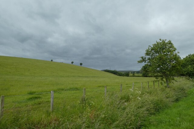
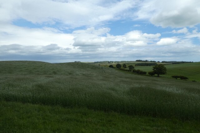
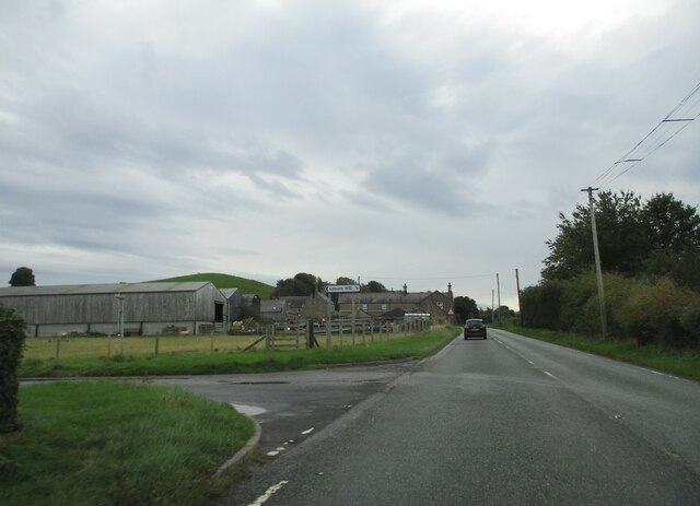
Thorney Bank Plantation is a picturesque woodland located in Northumberland, England. Situated near the village of Longhorsley, this plantation covers an area of approximately 500 acres and is a popular destination for nature enthusiasts and walkers alike.

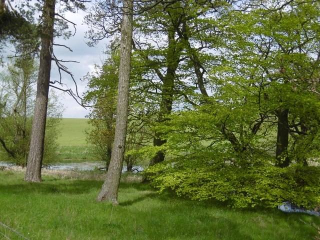
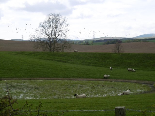
The woodland is primarily composed of coniferous trees, including Scots pine, Norway spruce, and Douglas fir. These evergreen trees create a dense canopy, providing shelter for a diverse range of wildlife. The plantation is home to various bird species, such as woodpeckers, owls, and crossbills, as well as mammals like red squirrels and roe deer.

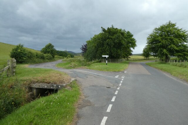
The woodland is crisscrossed by a network of well-maintained footpaths, allowing visitors to explore the plantation while enjoying the tranquil surroundings. The paths wind through the trees, offering glimpses of open clearings and small ponds teeming with aquatic life. The plantation also features a few picnic areas, providing a perfect spot for visitors to relax and enjoy a meal amidst nature.

Thorney Bank Plantation has a rich history, dating back several centuries. It was originally part of a medieval hunting forest known as the Great North Wood. The woodland played a significant role in the local economy, providing timber for construction and fuel. Today, the plantation is managed by the Forestry Commission, which ensures the preservation of its natural beauty and ecological value.

Overall, Thorney Bank Plantation is a captivating woodland that offers visitors a chance to immerse themselves in the beauty of Northumberland's countryside. With its diverse flora and fauna, well-maintained trails, and rich history, it is a haven for nature lovers and a must-visit destination in the region.

If you have any feedback on the listing, please let us know in the comments section below.

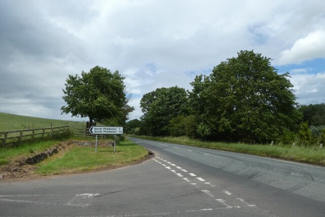
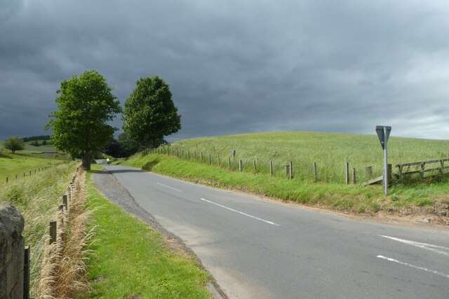
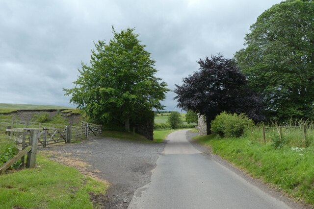
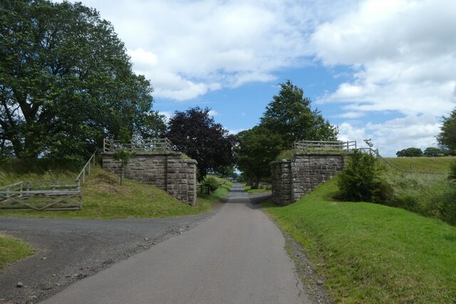
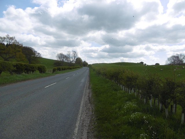
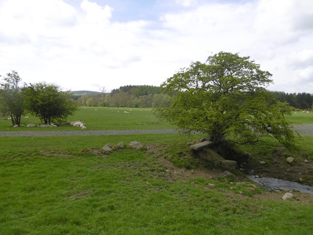
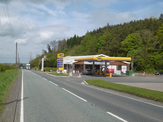
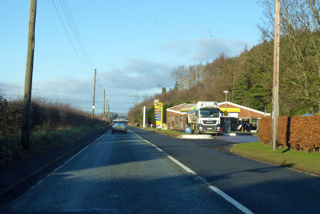
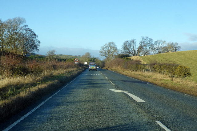
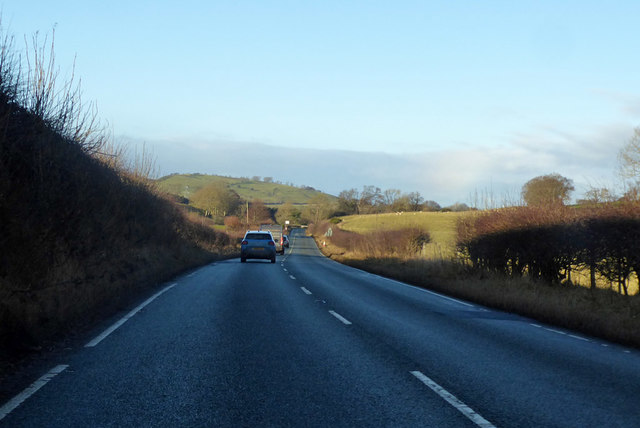
Thorney Bank Plantation Images

Images are sourced within 2km of 55.515293/-2.010266 or Grid Reference NT9924. Thanks to Geograph Open Source API. All images are credited.

Junction on the A697 Looking along the main road to Wooler at the junction for Middleton.
Junction on the A697
Looking along the main road to Wooler at the junction for Middleton.
Road to Middleton Looking along the road from the junction with the A697.
Road to Middleton
Looking along the road from the junction with the A697.
Former railway bridge Looking along the road to Middleton where the former railway line to Wooler crossed the road. Information on the Cornhill Branch line can be found in this Wikipedia article: <span class="nowrap"><a title="https://en.wikipedia.org/wiki/Cornhill_Branch" rel="nofollow ugc noopener" href="https://en.wikipedia.org/wiki/Cornhill_Branch">Link</a><img style="margin-left:2px;" alt="External link" title="External link - shift click to open in new window" src="https://s1.geograph.org.uk/img/external.png" width="10" height="10"/></span>
Former railway bridge
Looking along the road to Middleton where the former railway line to Wooler crossed the road. Information on the Cornhill Branch line can be found in this Wikipedia article: LinkExternal link
Former bridge on the Cornhill Branch Looking along the road from Middleton where the former railway line to Wooler crossed the road. Information on the Cornhill Branch line can be found in this Wikipedia article: <span class="nowrap"><a title="https://en.wikipedia.org/wiki/Cornhill_Branch" rel="nofollow ugc noopener" href="https://en.wikipedia.org/wiki/Cornhill_Branch">Link</a><img style="margin-left:2px;" alt="External link" title="External link - shift click to open in new window" src="https://s1.geograph.org.uk/img/external.png" width="10" height="10"/></span>
Former bridge on the Cornhill Branch
Looking along the road from Middleton where the former railway line to Wooler crossed the road. Information on the Cornhill Branch line can be found in this Wikipedia article: LinkExternal link
Fields near Middleton Looking across pasture beside the road to Middleton.
Fields near Middleton
Looking across pasture beside the road to Middleton.
Junction for North Middleton South Middleton is to the left with North Middleton and Wooler ahead.
Junction for North Middleton
South Middleton is to the left with North Middleton and Wooler ahead.
Fields beside the road to North Middleton Looking across the rolling fields to the west of the A697.
Fields beside the road to North Middleton
Looking across the rolling fields to the west of the A697.
Service  Station  on  A697  southbound  at  Haugh  Head The buildings beyond the garage are on Glendale Business Park
Service Station on A697 southbound at Haugh Head
The buildings beyond the garage are on Glendale Business Park
Minor  road  junction  to  Lilburn  Hill The buildings and Farmhouse on the left beyond the junction is Haugh Head Farm
Minor road junction to Lilburn Hill
The buildings and Farmhouse on the left beyond the junction is Haugh Head Farm
Ordnance Survey Cut Mark This OS cut mark can be found on the garage at North Middleton Farm. It marks a point 126.968m above mean sea level.
Ordnance Survey Cut Mark
This OS cut mark can be found on the garage at North Middleton Farm. It marks a point 126.968m above mean sea level.
Woodland, Lilburn Trees and pond beside the A697.
Woodland, Lilburn
Trees and pond beside the A697.
Wet depression A vegetated pond in a kettle hole.  The background slope is not a kame, but a former railway embankment on the Cornhill Branch of the North Eastern Railway.
Wet depression
A vegetated pond in a kettle hole. The background slope is not a kame, but a former railway embankment on the Cornhill Branch of the North Eastern Railway.
A697 South of Wooler.
A697
South of Wooler.
The showground The Glendale Show is held on this field. Once a railway passed here.
The showground
The Glendale Show is held on this field. Once a railway passed here.
Filling station, Haugh Head Three years after <a href="https://www.geograph.org.uk/photo/3449803">NU0026 : Haugh Head</a>.
Filling station, Haugh Head
Three years after NU0026 : Haugh Head.
Jet station on A697 Heading towards Wooler.
Jet station on A697
Heading towards Wooler.
A697 towards Wooler
A697 towards Wooler
A697 towards Wooler
A697 towards Wooler
Show me another place!

Thorney Bank Plantation is located at Grid Ref: NT9924 (Lat: 55.515293, Lng: -2.010266)

Unitary Authority: Northumberland

Police Authority: Northumbria

What 3 Words

///positive.perusing.future. Near Wooler, Northumberland

Related Wikis

Earle, Northumberland

Earle is a village and civil parish in county of Northumberland, England. It has around 20 inhabitants and is about 2 miles (3 km) from Wooler (where from...

Ilderton railway station

Ilderton railway station served the village of Ilderton, Northumberland, England from 1887 to 1953 on the Cornhill Branch. == History == The station opened...

Lilburn Tower

Lilburn Tower is a privately owned 19th-century mansion house at Lilburn, near Wooler, Northumberland. The property is a Grade II* listed building and...

Lilburn, Northumberland

Lilburn is a small village in Northumberland, England. It is located in the on the edge of the Cheviots. The local farming estate is centred on Lilburn...

Nearby Amenities

Located within 500m of 55.515293,-2.010266
Coldgate Mill
Place: hamlet
Lat/Long: 55.517602/-2.0035404
Barrier: stile
Foot: yes
Lat/Long: 55.5148229/-2.0143244
Power: tower
Lat/Long: 55.5143389/-2.003717
Power: pole
Lat/Long: 55.5166933/-2.0051089
Power: pole
Lat/Long: 55.5172438/-2.004642
Power: pole
Lat/Long: 55.5121696/-2.005818
Power: pole
Lat/Long: 55.5136069/-2.0077172
Power: pole
Lat/Long: 55.5177921/-2.0041867
Power: pole
Lat/Long: 55.5144037/-2.0070575
Power: pole
Lat/Long: 55.5158445/-2.0058266
Power: pole
Lat/Long: 55.5151553/-2.0064208
Direction: 235
Generator Method: photovoltaic
Generator Output Electricity: yes
Generator Solar Modules: 16
Generator Source: solar
Generator Type: solar_photovoltaic_panel
Location: roof
Power: generator
Lat/Long: 55.5176955/-2.0038737
The data included in this document is from www.openstreetmap.org. The data is made available under ODbL.

Have you been to Thorney Bank Plantation?

Leave your review of Thorney Bank Plantation below (or comments, questions and feedback).