Lopham, North
Settlement in Norfolk Breckland
England
Lopham, North
Lopham is a small village located in the North Norfolk district of England. Situated near the Norfolk-Suffolk border, it lies about 2 miles southeast of the town of Diss. With a population of around 700 residents, Lopham is a close-knit community known for its picturesque surroundings and historical significance.
The village is divided into two parts, North Lopham and South Lopham, separated by the River Waveney. Lopham Fen, a designated Site of Special Scientific Interest, lies to the south of the village and is home to a diverse range of plant and animal species.
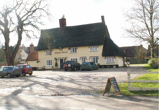
In terms of amenities, Lopham features a public house, The White Horse Inn, which serves as a popular meeting place for locals and visitors alike. The village also boasts a primary school, St. Andrew's Church, and a village hall that hosts various community events throughout the year.
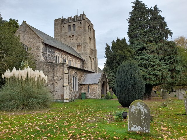
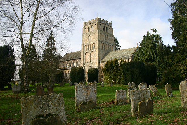
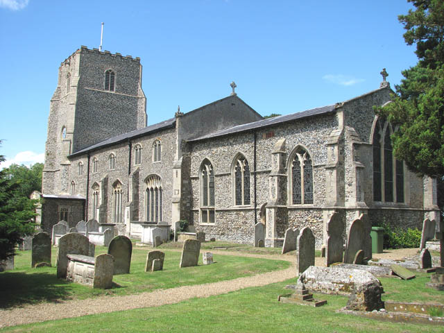
Lopham is steeped in history, with evidence of human settlement in the area dating back to the Neolithic period. The village is home to several listed buildings, including the Grade I listed medieval church of St. Andrew, which features a 13th-century tower and a collection of stunning stained glass windows.
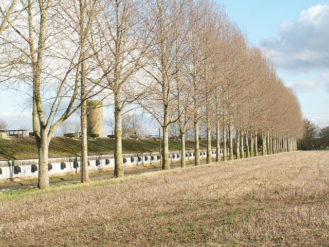
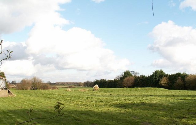
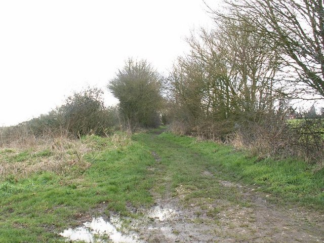
Surrounded by beautiful countryside, Lopham offers ample opportunities for outdoor activities such as walking, cycling, and birdwatching. The village's tranquil atmosphere and idyllic setting make it a charming destination for those seeking a peaceful retreat in the heart of Norfolk.
If you have any feedback on the listing, please let us know in the comments section below.
Lopham, North Images
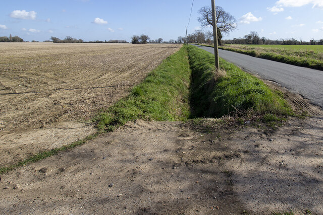
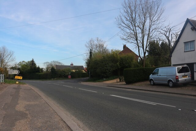
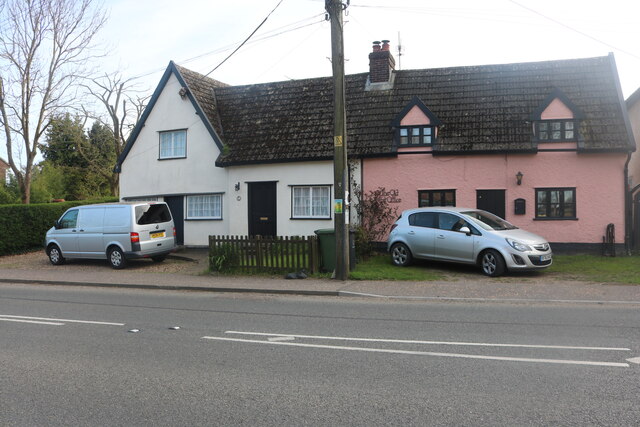
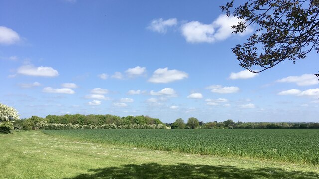
Images are sourced within 2km of 52.407784/0.992091 or Grid Reference TM0383. Thanks to Geograph Open Source API. All images are credited.


Lopham, North is located at Grid Ref: TM0383 (Lat: 52.407784, Lng: 0.992091)
Administrative County: Norfolk
District: Breckland
Police Authority: Norfolk
What 3 Words
///fewer.quilt.venue. Near East Harling, Norfolk
Nearby Locations
Related Wikis

North Lopham
North Lopham is a village and civil parish in the English county of Norfolk. It covers an area of 8.17 km2 (3.15 sq mi) and had a population of 623 in...
South Lopham
South Lopham is a village and civil parish in the English county of Norfolk. It covers an area of 7.91 km2 (3.05 sq mi) and had a population of 371 in...
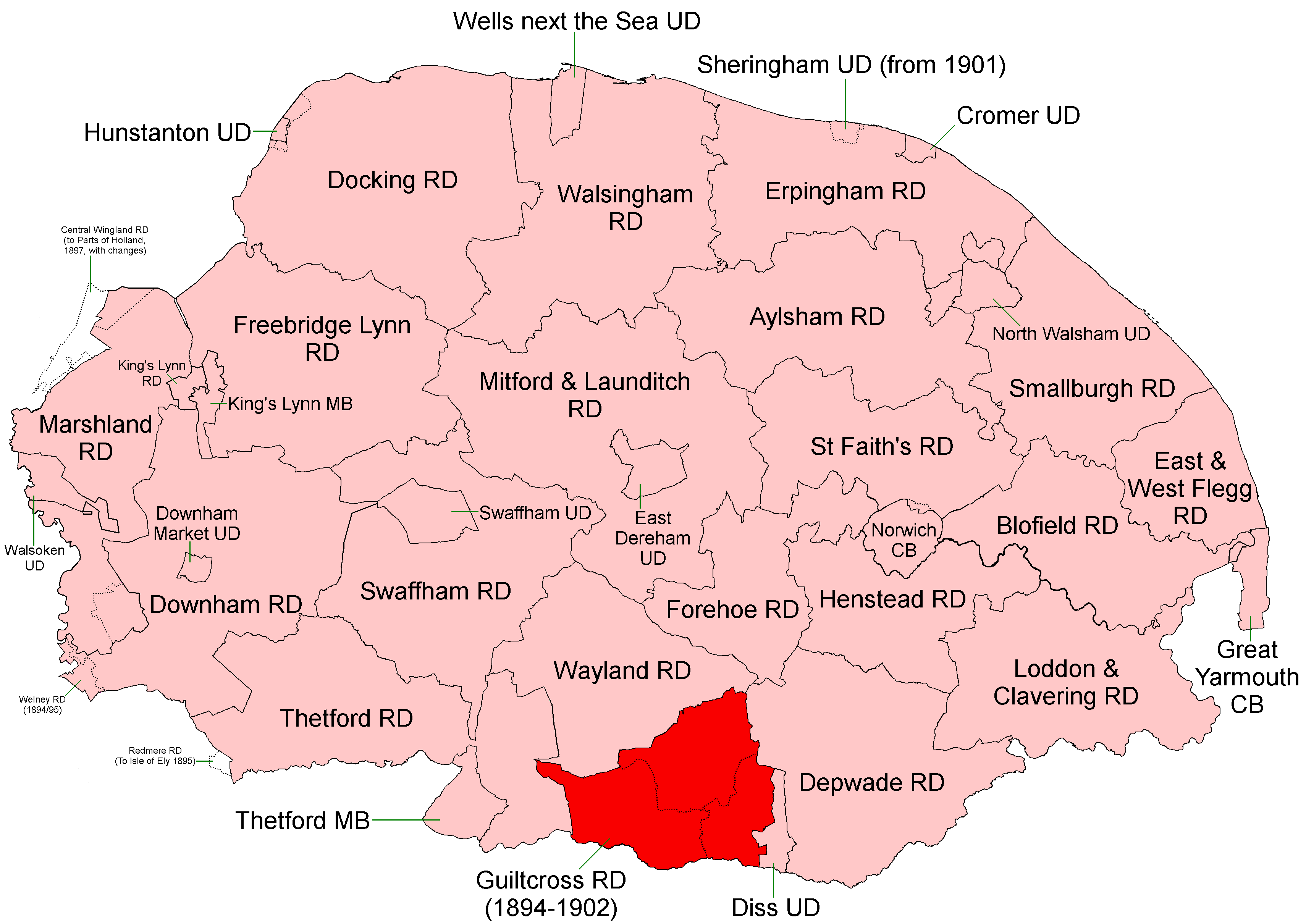
Guiltcross Rural District
Guiltcross Rural District was a rural district in Norfolk, England from 1894 to 1902.It was formed under the Local Government Act 1894 based on the Guiltcross...

Fersfield
Fersfield is a village and former civil parish, now in the parish of Bressingham, in the South Norfolk district, in the county of Norfolk, England. The...
Garboldisham
Garboldisham () is a village and civil parish in the English county of Norfolk. The village is located 7.1 miles (11.4 km) north-west of Diss and 22 miles...
Kenninghall
Kenninghall is a village and civil parish in Norfolk, England, with an area of 5.73 sq mi (14.8 km2) and a population of 950 at the 2011 census. It falls...
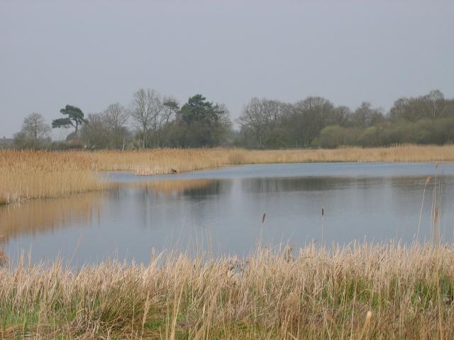
Redgrave and Lopham Fens
Redgrave and Lopham Fens is a 127 hectare biological Site of Special Scientific Interest between Thelnetham in Suffolk and Diss in Norfolk. It is a national...

Boyland Common
Boyland Common is a place in the English county of Norfolk. It lies on the border of Fersfield and Shelfanger parishes. It consists of a few scattered...
Nearby Amenities
Located within 500m of 52.407784,0.992091Have you been to Lopham, North?
Leave your review of Lopham, North below (or comments, questions and feedback).