North Looe
Settlement in Surrey Epsom and Ewell
England
North Looe
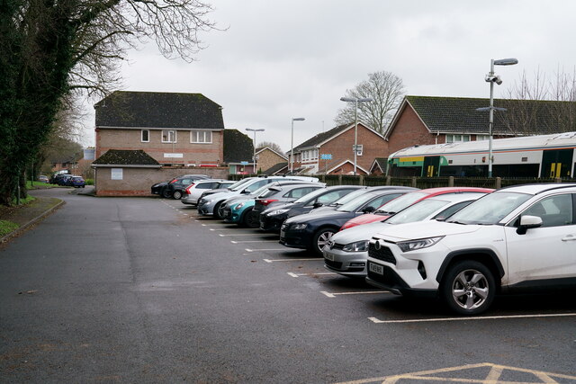
North Looe is a small village located in the county of Surrey, in the southeastern region of England. Situated near the town of Guildford, it is nestled amidst the picturesque countryside, offering residents and visitors a pleasant and serene environment.
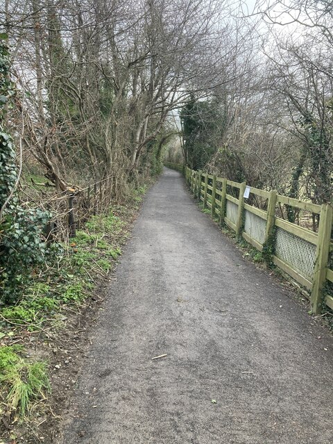
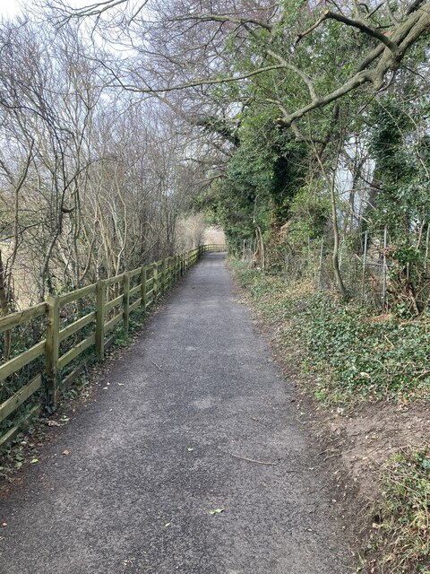
The village itself is characterized by its quaint and charming atmosphere, with traditional English cottages lining the streets. The surrounding landscape is dominated by rolling green hills, offering stunning views of the countryside and providing ample opportunities for outdoor activities such as hiking, cycling, and picnicking.
North Looe is a close-knit community with a friendly and welcoming atmosphere. The village boasts a few local amenities, including a village hall, a community center, and a small primary school. Although it may lack some of the larger-scale facilities found in nearby towns, residents benefit from the peaceful and idyllic nature of their surroundings.
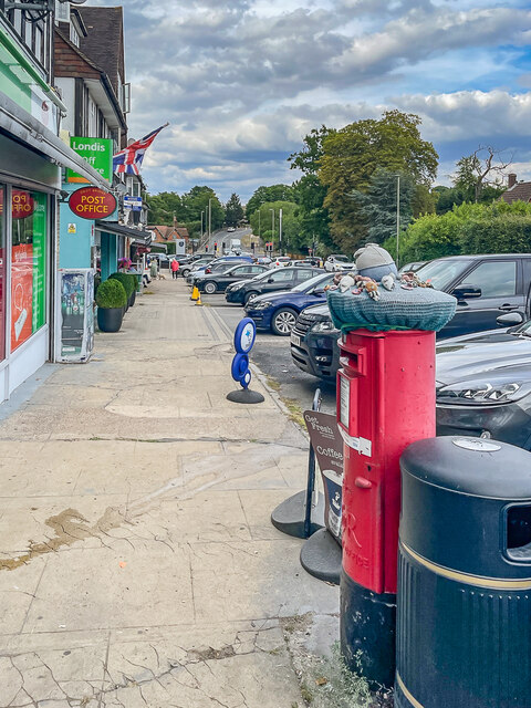
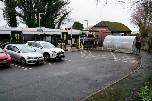
For those seeking a taste of city life, the town of Guildford is conveniently located just a short distance away. Here, residents can access a wider range of amenities, including shopping centers, restaurants, and entertainment venues.
Overall, North Looe offers a tranquil and picturesque setting, making it an ideal location for those looking to escape the hustle and bustle of city life and embrace the charms of a traditional English village.
If you have any feedback on the listing, please let us know in the comments section below.
North Looe Images
Images are sourced within 2km of 51.332669/-0.23413188 or Grid Reference TQ2360. Thanks to Geograph Open Source API. All images are credited.


North Looe is located at Grid Ref: TQ2360 (Lat: 51.332669, Lng: -0.23413188)
Administrative County: Surrey
District: Epsom and Ewell
Police Authority: Surrey
What 3 Words
///alien.admit.object. Near Ewell, Surrey
Nearby Locations
Related Wikis
Priest Hill
Priest Hill is a 35-hectare (86-acre) nature reserve on the eastern outskirts of Epsom in Surrey. It is managed by the Surrey Wildlife Trust.More than...

Beechholme
Beechholme was a children's home in Fir Tree Road, Banstead, Surrey. It was founded in 1879 as a Residential School for poor children from the slums of...
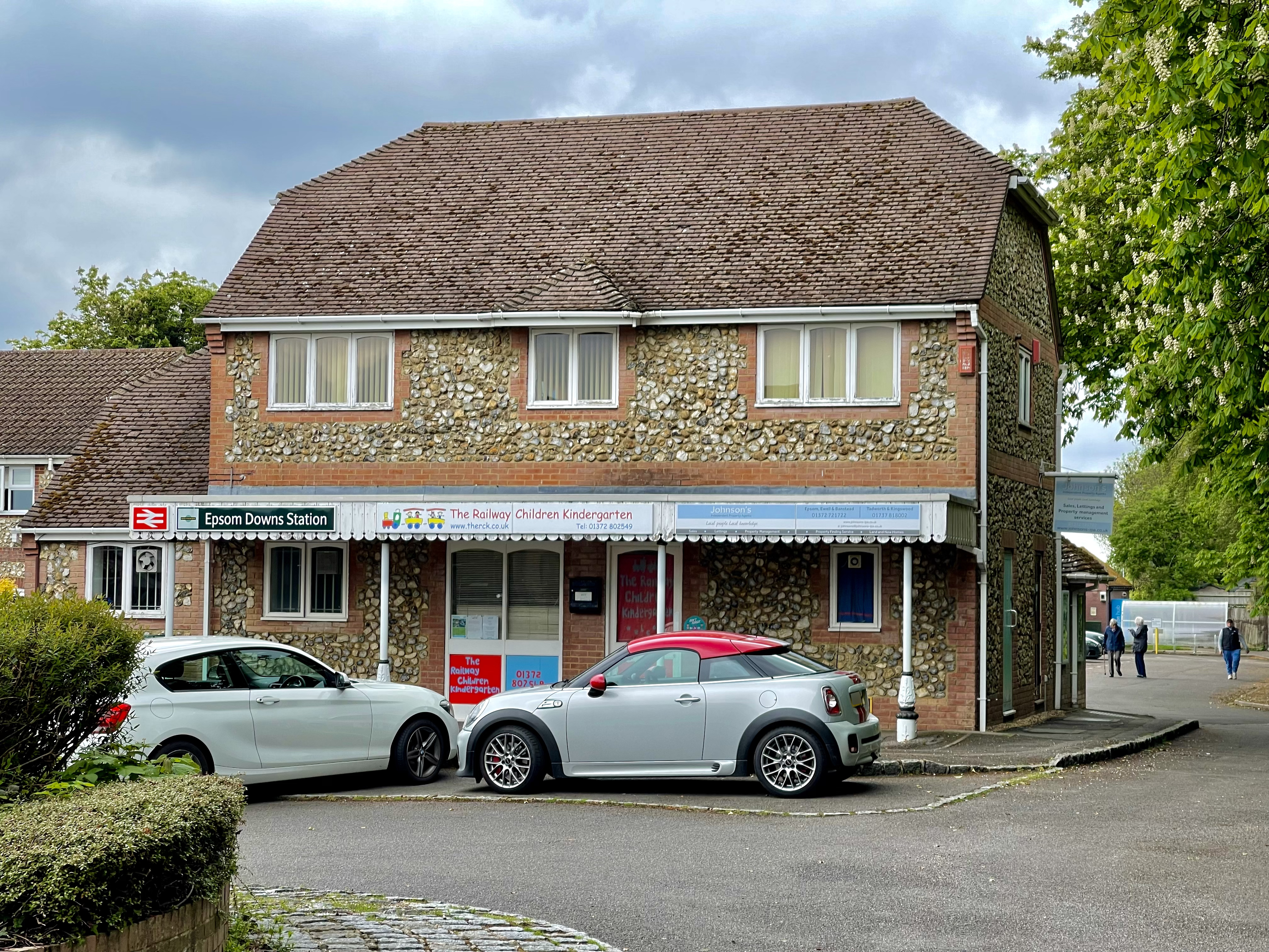
Epsom Downs railway station
Epsom Downs railway station is in the Borough of Reigate and Banstead in Surrey. The station, and all trains serving it, are operated by Southern. It is...
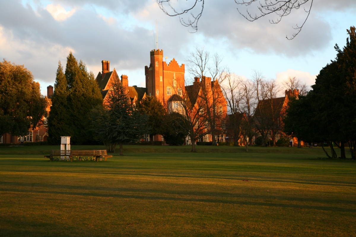
Epsom College
Epsom College is a co-educational independent school on Epsom Downs, Surrey, England, for pupils aged 11 to 18. It was founded in 1853 as a benevolent...

Howell Hill
Howell Hill is a 5-hectare (12-acre) nature reserve east of Ewell in Surrey. It is owned by Surrey County Council and managed by the Surrey Wildlife Trust...

North East Surrey College of Technology
The North East Surrey College Of Technology (NESCOT) is a large further education and higher education college in Epsom and Ewell, Surrey, England that...

Cuddington Meadows
Cuddington Meadows is a 1.4 hectare Local Nature Reserve and Site of Borough Importance for Nature Conservation, Grade I, in Belmont in the London Borough...

Nork, Surrey
Nork is a residential area of the borough of Reigate and Banstead in Surrey and borders Greater London, England. Nork is separated from its post town Banstead...
Nearby Amenities
Located within 500m of 51.332669,-0.23413188Have you been to North Looe?
Leave your review of North Looe below (or comments, questions and feedback).