Halling, North
Settlement in Kent
England
Halling, North
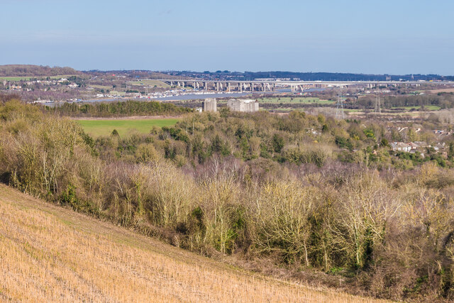
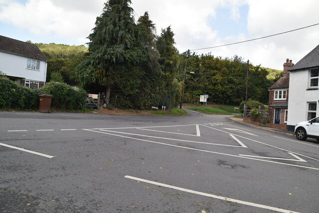
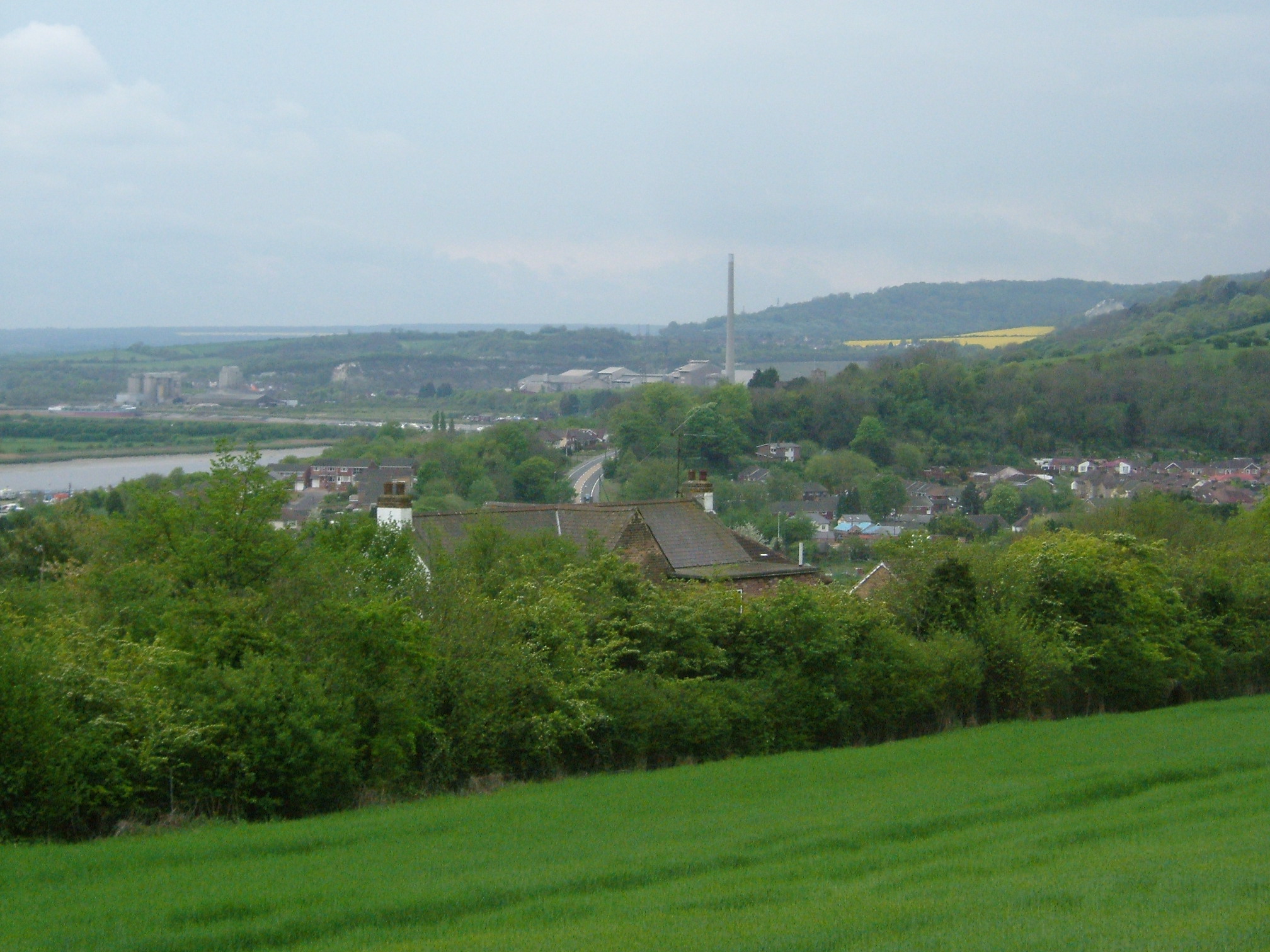
Halling is a small village located in the county of Kent, England. It is situated in the district of Tonbridge and Malling, approximately 20 miles northwest of the city of Maidstone. The village is nestled along the banks of the River Medway and is surrounded by picturesque countryside.
Halling has a rich history dating back to Roman times, with evidence of Roman pottery and a Roman villa discovered in the area. The village grew in prominence during the medieval period, due to its strategic location on the river, which made it an important trading and transportation hub.
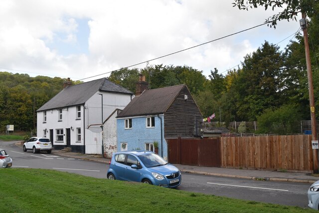
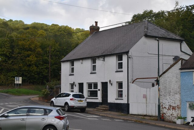
Today, Halling is a close-knit community with a population of around 2,500 residents. The village retains its rural charm and is characterized by its quaint cottages and historic buildings. The local economy is primarily based on agriculture, with many residents working in farming or related industries.
Halling offers a range of amenities for its residents, including a primary school, a village hall, and several local shops and pubs. The village also has good transport connections, with a railway station providing direct links to London and other nearby towns.
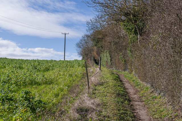
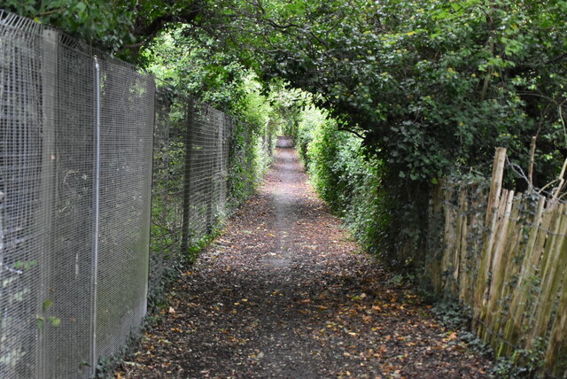
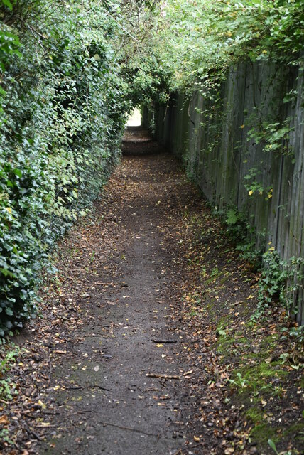
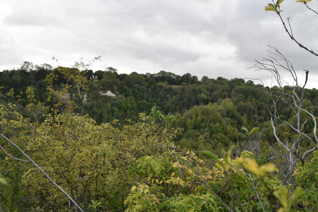
The surrounding countryside provides ample opportunities for outdoor activities, such as walking, cycling, and fishing. The River Medway is particularly popular for boating and watersports enthusiasts.
Overall, Halling is a peaceful and picturesque village, offering a high quality of life and a strong sense of community.
If you have any feedback on the listing, please let us know in the comments section below.
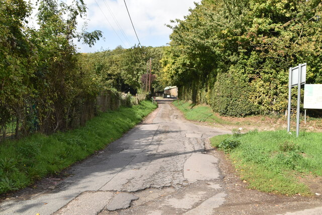
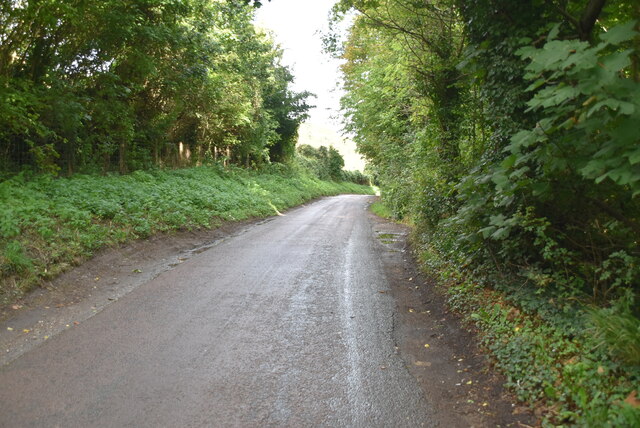
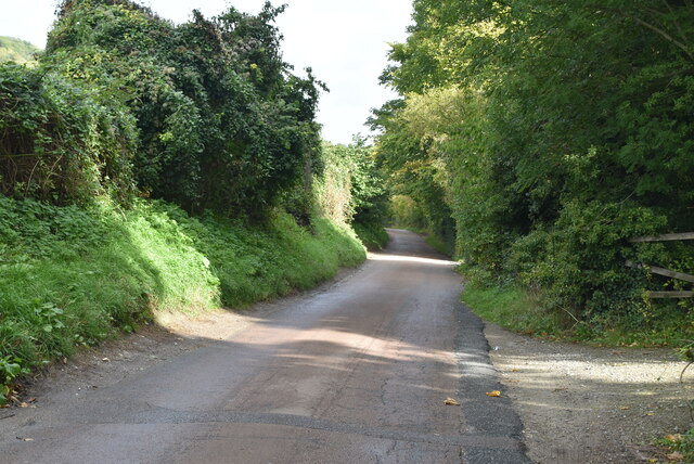
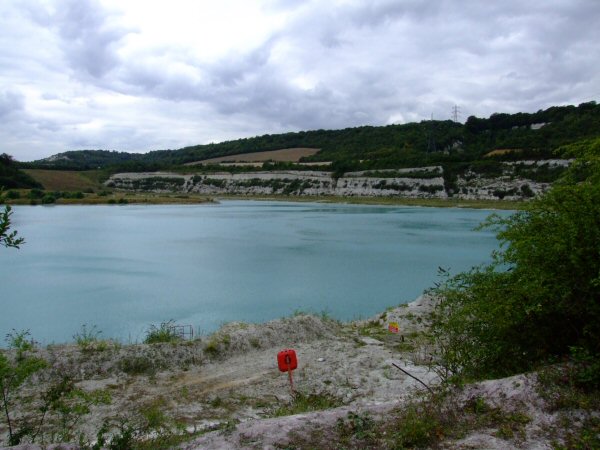
Halling, North Images
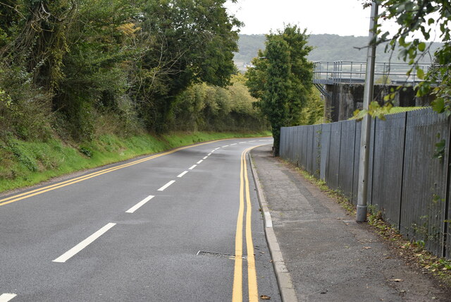
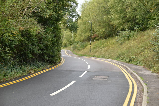
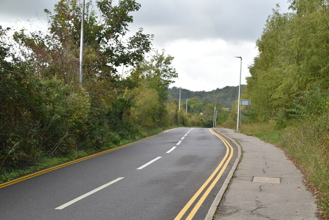
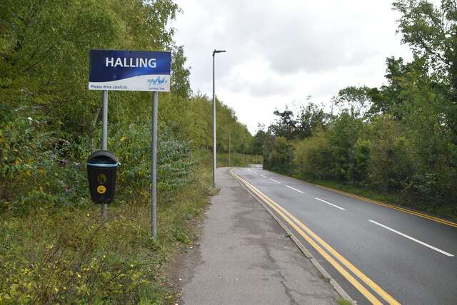
Images are sourced within 2km of 51.36388/0.444753 or Grid Reference TQ7065. Thanks to Geograph Open Source API. All images are credited.


Halling, North is located at Grid Ref: TQ7065 (Lat: 51.36388, Lng: 0.444753)
Unitary Authority: Medway
Police Authority: Kent
What 3 Words
///sparks.bets.faster. Near Halling, Kent
Nearby Locations
Related Wikis
Halling, Kent
Halling is a village on the North Downs in the northern part of Kent, England. Consisting of Lower Halling, Upper Halling and North Halling, it is scattered...
Cuxton
Cuxton is a village in the unitary authority of Medway in South East England. It lies on the left bank of the River Medway in the North Downs. It is served...
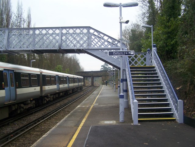
Halling railway station
Halling railway station is on the Medway Valley Line in Kent, England, and lies a little to the north of the village of Halling. It is 35 miles 18 chains...
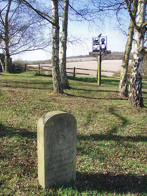
Upper Bush
Upper Bush is a hamlet in the parish of Cuxton, in the unitary authority of Medway, in Kent, England. The hamlet has only a few houses, including two Grade...
Nearby Amenities
Located within 500m of 51.36388,0.444753Have you been to Halling, North?
Leave your review of Halling, North below (or comments, questions and feedback).