North Elmham
Settlement in Norfolk Breckland
England
North Elmham

North Elmham is a village located in the county of Norfolk, England. It is situated about 16 miles west of the city of Norwich and lies within the Breckland District. The village has a population of around 1,300 residents.
North Elmham has a rich history dating back to Saxon times and was once an important Anglo-Saxon settlement. The village was the site of a major royal palace during the reign of King Canute in the 11th century. Today, the remains of this palace can still be seen in the form of earthworks and a motte-and-bailey castle.
The village is known for its picturesque countryside, with rolling fields and meadows surrounding the area. It is a popular destination for outdoor enthusiasts, offering opportunities for walking, cycling, and exploring the nearby woodlands. The village is also home to a number of historic buildings, including the 14th-century Church of St. Mary, which features a stunning Norman tower.
In terms of amenities, North Elmham has a primary school, a village hall, and a local pub. The village is well-connected to surrounding areas, with regular bus services to nearby towns and cities. It is also conveniently located near major road networks, making it easily accessible by car.
Overall, North Elmham is a charming village with a rich history, beautiful countryside, and a close-knit community. It offers a peaceful and idyllic setting for residents and visitors alike.
If you have any feedback on the listing, please let us know in the comments section below.
North Elmham Images
Images are sourced within 2km of 52.748509/0.939254 or Grid Reference TF9820. Thanks to Geograph Open Source API. All images are credited.


North Elmham is located at Grid Ref: TF9820 (Lat: 52.748509, Lng: 0.939254)
Administrative County: Norfolk
District: Breckland
Police Authority: Norfolk
What 3 Words
///sulked.replaying.quilt. Near North Elmham, Norfolk
Nearby Locations
Related Wikis

North Elmham
North Elmham is a village and civil parish in the English county of Norfolk. It covers an area of 7.41 sq mi (19.2 km2) and had a population of 1,428 in...
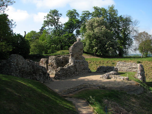
North Elmham Castle
North Elmham Castle, also known as North Elmham Bishops Castle and North Elmham Bishops Chapel, is a ruined castle in the village of North Elmham, in the...
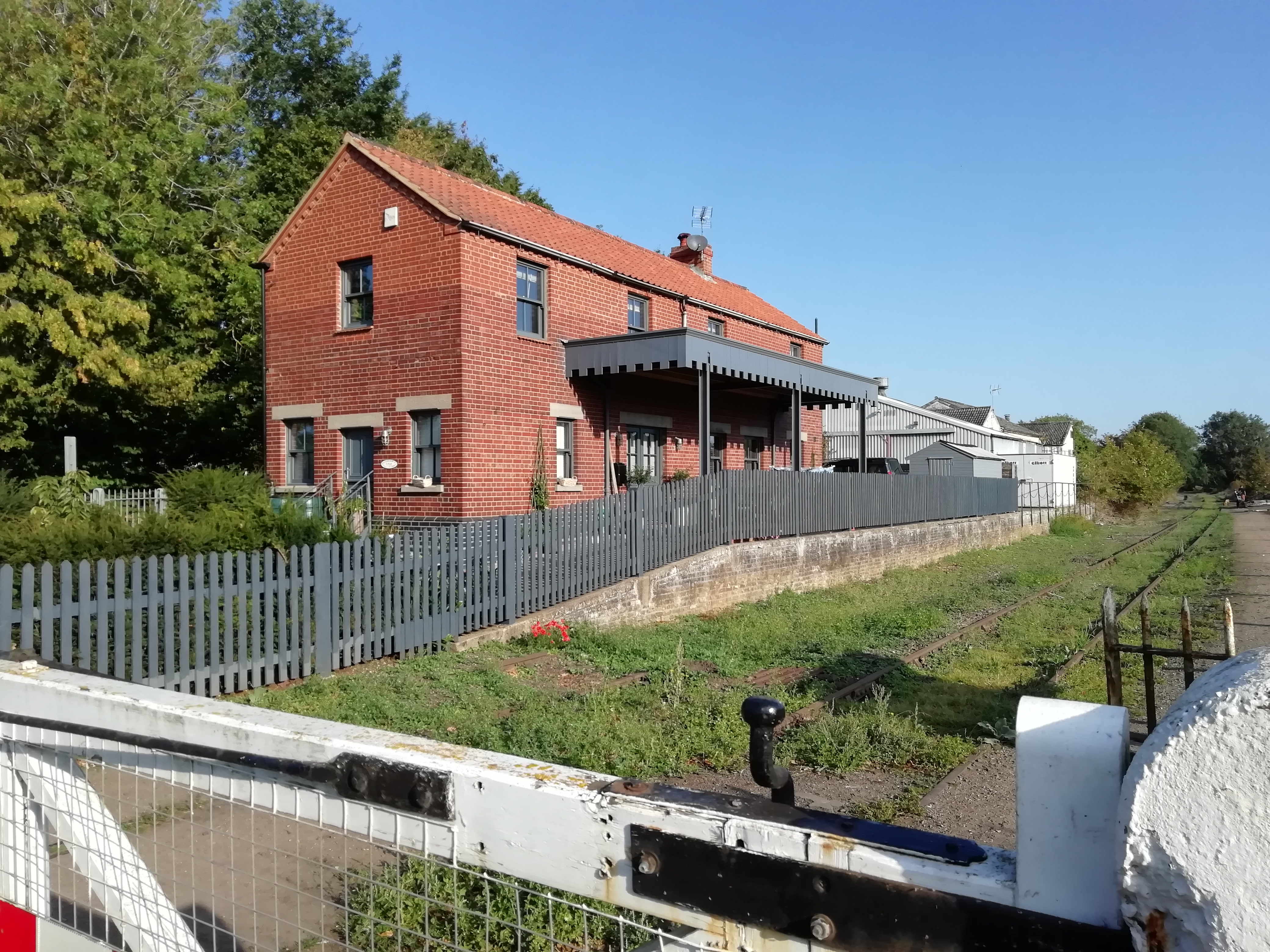
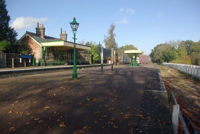
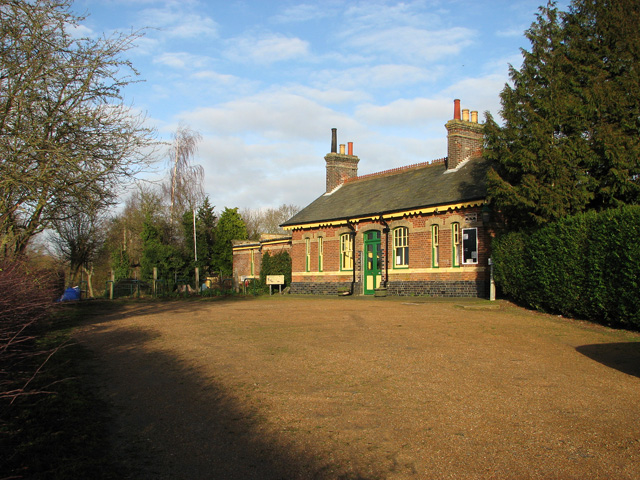
North Elmham railway station
North Elmham railway station is a railway station in the village of North Elmham in the English county of Norfolk. The station was part of the Wymondham...

Spong Hill
Spong Hill is an Anglo-Saxon cemetery site located south of North Elmham in Norfolk, England. It is the largest known Early Anglo-Saxon cremation site...

Worthing, Norfolk
Worthing is a small village and former civil parish, now in the parish of Hoe and Worthing, in the Breckland district, in the county of Norfolk, England...

County School railway station
County School railway station is on the Mid-Norfolk Railway in Norfolk, England; it will serve the villages of North Elmham and Guist once services resume...

Fakenham and Dereham Railway Society
The Fakenham and Dereham Railway Society (F&DRS) was a heritage railway society in the English county of Norfolk. For a short period of time it operated...
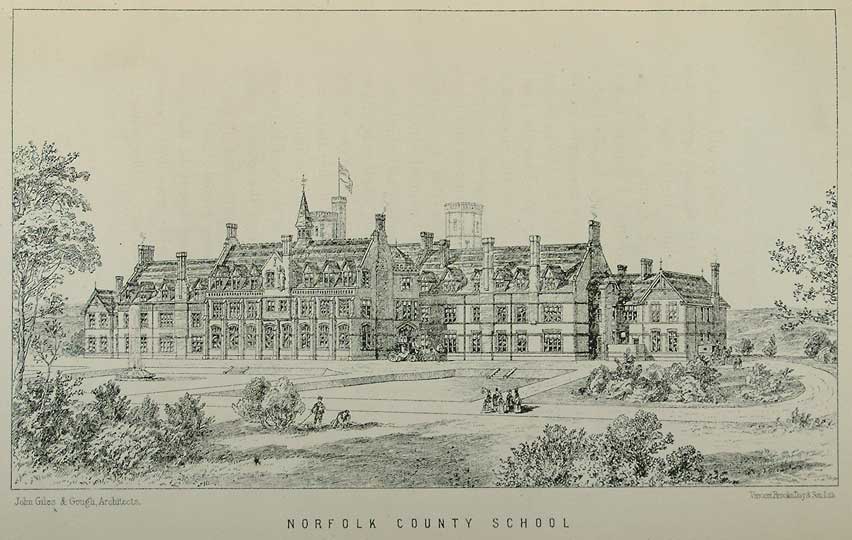
Watts Naval School
Watts Naval School was originally the Norfolk County School, a boarding school set up to serve the educational needs of the 'sons of farmers and artisans...
Nearby Amenities
Located within 500m of 52.748509,0.939254Have you been to North Elmham?
Leave your review of North Elmham below (or comments, questions and feedback).