Avenue Plantation

Wood, Forest in Norfolk Breckland

England

Avenue Plantation

Trackbed in the Spring A view of the trackbed between North Elmham and County School station. This is my third time on this section, this occasion being a stroll with the family and dogs.
Trackbed in the Spring Credit: Ashley Dace

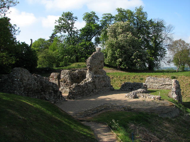
Avenue Plantation, located in Norfolk, is a picturesque woodland area known for its natural beauty and rich history. Covering a vast area, this plantation is characterized by its dense forest, towering trees, and meandering paths that provide a serene and tranquil environment for visitors.

The woodlands of Avenue Plantation are predominantly composed of a variety of tree species, including oak, beech, and birch. These trees, with their lush foliage and towering canopies, create a captivating sight throughout the year. The forest floor is covered in a thick carpet of ferns, moss, and wildflowers, adding to the area's enchanting allure.

One of the notable features of Avenue Plantation is the network of well-maintained footpaths that crisscross through the woodland. These paths offer visitors the opportunity to explore the plantation and immerse themselves in its natural wonders. Whether it's a leisurely stroll or a more adventurous hike, the plantation provides a range of options for outdoor enthusiasts.

In addition to its natural beauty, Avenue Plantation holds historical significance. The plantation dates back several centuries and has witnessed various significant events. It has been carefully preserved to retain its historical charm and serves as a reminder of the area's past.

Visitors to Avenue Plantation can enjoy a peaceful retreat, surrounded by the beauty of nature and the echoes of history. Whether it's a nature lover seeking solace or a history buff exploring the past, Avenue Plantation offers a unique experience in Norfolk's woodlands.

If you have any feedback on the listing, please let us know in the comments section below.

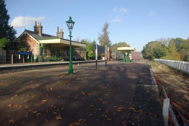
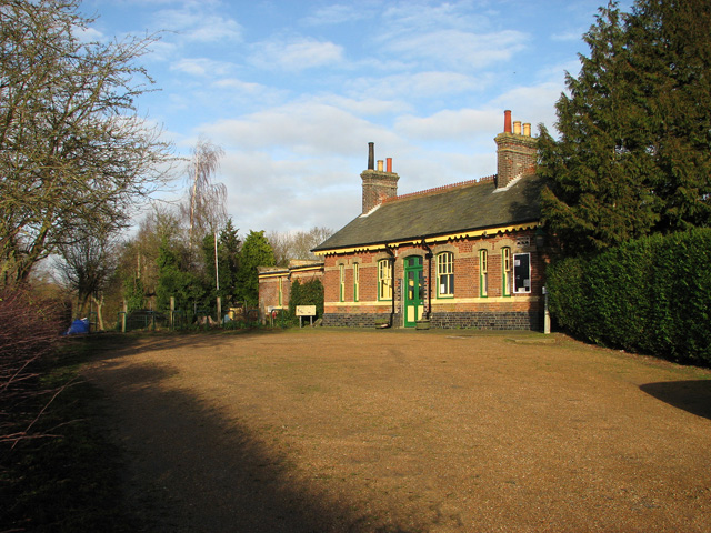
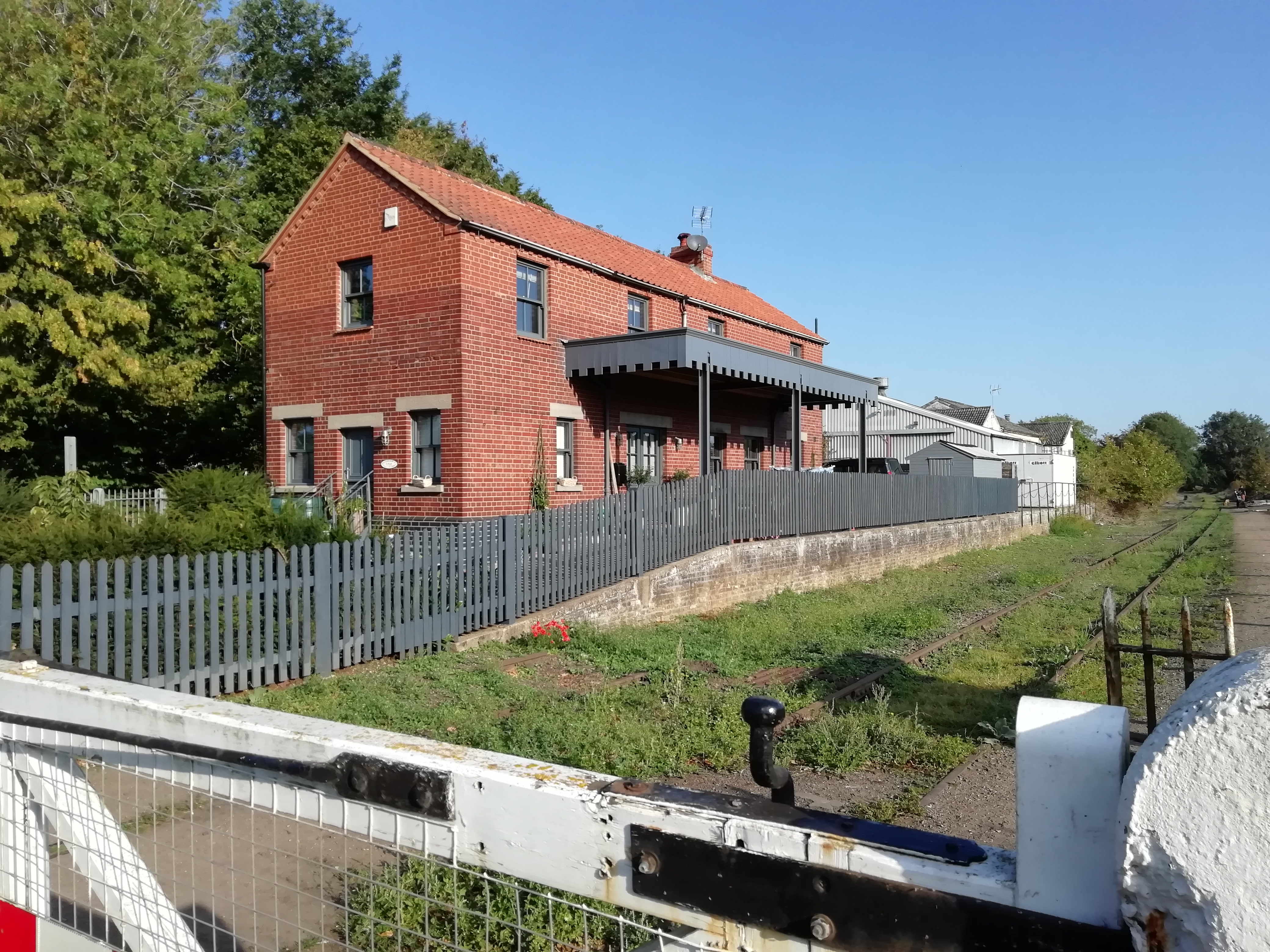
Avenue Plantation Images

Images are sourced within 2km of 52.74983/0.93506756 or Grid Reference TF9820. Thanks to Geograph Open Source API. All images are credited.

Trackbed in the Spring A view of the trackbed between North Elmham and County School station. This is my third time on this section, this occasion being a stroll with the family and dogs.
Trackbed in the Spring
A view of the trackbed between North Elmham and County School station. This is my third time on this section, this occasion being a stroll with the family and dogs.
County School Railway Station See <a href="https://www.geograph.org.uk/photo/1894292">TF9822 : County School Railway Station</a>
County School Railway Station
County School Station The curious name of this remote Norfolk country junction derives from the nearby Norfolk County School, a public school that only operated from 1874 until 1895. However, it was reopened as the Watts Naval School in 1901, an establishment that prepared boys for a life in the navy with, from all accounts, a regime that would be considered intolerably harsh today. That school closed in 1953 followed only 11 years later by all passenger services at the station. However, the Mid-Norfolk Railway Preservation Trust has done a wonderful job in restoring it to the condition seen here. The long-term intention is to extend the Mid-Norfolk Railway here from its current terminus at Dereham.
County School Station
The curious name of this remote Norfolk country junction derives from the nearby Norfolk County School, a public school that only operated from 1874 until 1895. However, it was reopened as the Watts Naval School in 1901, an establishment that prepared boys for a life in the navy with, from all accounts, a regime that would be considered intolerably harsh today. That school closed in 1953 followed only 11 years later by all passenger services at the station. However, the Mid-Norfolk Railway Preservation Trust has done a wonderful job in restoring it to the condition seen here. The long-term intention is to extend the Mid-Norfolk Railway here from its current terminus at Dereham.
County School Station Detail of this immaculately restored station.
County School Station
Detail of this immaculately restored station.
Road to the former Watts Naval School Beyond County School station this is a private road that, until its closure in 1953, led to Watts Naval School, an establishment that prepared boys for a life in the navy. Nowadays, parts of the site are used for housing.
Road to the former Watts Naval School
Beyond County School station this is a private road that, until its closure in 1953, led to Watts Naval School, an establishment that prepared boys for a life in the navy. Nowadays, parts of the site are used for housing.
End of the line: County School The track ends abruptly just beyond the platforms at County School station.
End of the line: County School
The track ends abruptly just beyond the platforms at County School station.
County School Station Showing the station house and level crossing; there is clearly much work yet to be done before passenger trains on the Mid Norfolk Railway can run this far.
County School Station
Showing the station house and level crossing; there is clearly much work yet to be done before passenger trains on the Mid Norfolk Railway can run this far.
County School Station Fallen leaves lie on the platform of this beautifully restored station on the former Wymondham - Wells line. The bay platform on the right was once used for the branch line service to Wroxham.
County School Station
Fallen leaves lie on the platform of this beautifully restored station on the former Wymondham - Wells line. The bay platform on the right was once used for the branch line service to Wroxham.
Lane at County School Station Looking along the lane leading away from County School station with the former station house on the right.
Lane at County School Station
Looking along the lane leading away from County School station with the former station house on the right.
North Elmham Chapel Showing the eastern end of the remains of this ancient ecclesiastical building.
North Elmham Chapel
Showing the eastern end of the remains of this ancient ecclesiastical building.
North Elmham Church Dedicated to St Mary this is a substantial church for a village; in fact, North Elmham has a long ecclesiastical history having had a Saxon Cathedral (on a site a short distance away) until 1071, when the diocesan headquarters were moved to Thetford (it later moved to Norwich).
North Elmham Church
Dedicated to St Mary this is a substantial church for a village; in fact, North Elmham has a long ecclesiastical history having had a Saxon Cathedral (on a site a short distance away) until 1071, when the diocesan headquarters were moved to Thetford (it later moved to Norwich).
North Elmham village sign As is usual in East Anglia, North Elmham sports a village sign depicting various aspects of its history.
North Elmham village sign
As is usual in East Anglia, North Elmham sports a village sign depicting various aspects of its history.
County School Station For an excellent history go to: <a title="https://www.geograph.org.uk/photo/1894208" href="https://www.geograph.org.uk/photo/1894208">Link</a>
County School Station
For an excellent history go to: Link
View towards the crossing gates at County School Station For a view of the station building see > <a title="https://www.geograph.org.uk/photo/2762456" href="https://www.geograph.org.uk/photo/2762456">Link</a>. For an excellent history go to: <a title="https://www.geograph.org.uk/photo/1894208" href="https://www.geograph.org.uk/photo/1894208">Link</a>
View towards the crossing gates at County School Station
For a view of the station building see > Link. For an excellent history go to: Link
County School Station - old advertising board For a view of the station building see > <a title="https://www.geograph.org.uk/photo/2762456" href="https://www.geograph.org.uk/photo/2762456">Link</a>. For an excellent history go to: <a title="https://www.geograph.org.uk/photo/1894208" href="https://www.geograph.org.uk/photo/1894208">Link</a>
County School Station - old advertising board
For a view of the station building see > Link. For an excellent history go to: Link
County School Station - George VI postbox For a view of the station building see > <a title="https://www.geograph.org.uk/photo/2762456" href="https://www.geograph.org.uk/photo/2762456">Link</a>. For an excellent history go to: <a title="https://www.geograph.org.uk/photo/1894208" href="https://www.geograph.org.uk/photo/1894208">Link</a>
County School Station - George VI postbox
For a view of the station building see > Link. For an excellent history go to: Link
County School Station - entrance to the waiting room For a view of the station building see > <a title="https://www.geograph.org.uk/photo/2762456" href="https://www.geograph.org.uk/photo/2762456">Link</a>. For an excellent history go to: <a title="https://www.geograph.org.uk/photo/1894208" href="https://www.geograph.org.uk/photo/1894208">Link</a>
County School Station - entrance to the waiting room
For a view of the station building see > Link. For an excellent history go to: Link
Show me another place!

Avenue Plantation is located at Grid Ref: TF9820 (Lat: 52.74983, Lng: 0.93506756)

Administrative County: Norfolk

District: Breckland

Police Authority: Norfolk

What 3 Words

///resources.lonely.narrate. Near North Elmham, Norfolk

Related Wikis

Nearby Amenities

Located within 500m of 52.74983,0.93506756
North Elmham
Created By: POI Editor
Place: village
Source: npe
Lat/Long: 52.7498571/0.9405559
Oak Avenue, adj
Naptan AtcoCode: 2900E0714
Naptan Bearing: SW
Naptan BusStopType: CUS
Naptan CommonName: Oak Avenue
Naptan Indicator: adj
Naptan Locality: North Elmham
Naptan NaptanCode: nfoapdam
Naptan Street: B1110
Naptan Verified: no
Source: naptan_import
Lat/Long: 52.7511386/0.941184
Oak Avenue, opp
Naptan AtcoCode: 2900E0715
Naptan Bearing: NE
Naptan BusStopType: CUS
Naptan CommonName: Oak Avenue
Naptan Indicator: opp
Naptan Locality: North Elmham
Naptan NaptanCode: nfoapdap
Naptan Street: B1110
Naptan Verified: no
Source: naptan_import
Lat/Long: 52.7512966/0.9413428
Bus Stop
bus shelter, adj
Alt Name: North Elmham- National Express from London
Naptan AltCommonName: North Elmham- National Express from London
Naptan AtcoCode: 2900E074
Naptan Bearing: N
Naptan CommonName: bus shelter
Naptan Indicator: adj
Naptan Locality: North Elmham
Naptan NaptanCode: nfoapdaw
Naptan Street: Holt Road
Naptan Verified: no
Source: naptan_import
Lat/Long: 52.7478352/0.938768
bus shelter, opp
Naptan AtcoCode: 2900E079
Naptan Bearing: S
Naptan BusStopType: CUS
Naptan CommonName: bus shelter
Naptan Indicator: opp
Naptan Locality: North Elmham
Naptan NaptanCode: nfoapdgm
Naptan Street: Holt Road
Naptan Verified: no
Source: naptan_import
Lat/Long: 52.7478488/0.9389468
Crossing
Crossing: uncontrolled
Tactile Paving: yes
Lat/Long: 52.7484186/0.9393109
Crossing
Crossing: uncontrolled
Tactile Paving: yes
Lat/Long: 52.7484981/0.9393426
Turning Circle
Lat/Long: 52.7488613/0.9402767
Bench
Lat/Long: 52.7491967/0.9406276
Post Box
Collection Times: Mo-Fr 16:45; Sa 11:45
Operator: Royal Mail
Operator Wikidata: Q638098
Post Box Mounting: brick_pillar
Post Box Type: wall
Ref: NR20 2080
Royal Cypher: EIIR
Royal Cypher Wikidata: Q33102113
Lat/Long: 52.7507329/0.9404478
Post Office
Elmham Post Office
Addr City: Dereham
Addr Postcode: NR20 5JQ
Addr Street: Holt Road
Addr Village: North Elmham
Opening Hours: Mo-Fr 09:00-13:00
Ref Pol Id: 11074
Source Addr: pol_branch_list_2023‑09‑27
Source Opening Hours: pol_branch_list_2023‑09‑27
Lat/Long: 52.7507058/0.9404415
Communication Mobile Phone: yes
Man Made: mast
Material: metal
Operator: O2-UK
Tower Construction: freestanding
Tower Type: communication
Lat/Long: 52.7482356/0.9363527
Generator Source: solar
Location: roof
Power: generator
Lat/Long: 52.7467045/0.9392345
The data included in this document is from www.openstreetmap.org. The data is made available under ODbL.

Have you been to Avenue Plantation?

Leave your review of Avenue Plantation below (or comments, questions and feedback).