North Crawley

Settlement in Buckinghamshire

England

North Crawley

Crawley Road towards North Crawley From Cranfield.
Crawley Road towards North Crawley Credit: Robin Webster

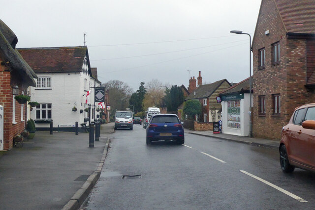
North Crawley is a quaint village located in the county of Buckinghamshire, England. Situated approximately 7 miles northwest of Newport Pagnell, it is nestled amidst the picturesque countryside of the Three Shires Oak Wood, providing residents and visitors with a serene and tranquil environment.

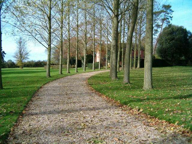
The village is steeped in history, with its origins dating back to medieval times. It is characterized by its charming thatched-roof cottages and traditional architecture, which add to its timeless appeal. North Crawley is home to a close-knit community that takes pride in preserving its heritage and maintaining a strong sense of local identity.

A notable landmark in the village is the All Saints Church, a Grade I listed building that dates back to the 14th century. With its stunning stained glass windows and impressive bell tower, it serves as a focal point for religious and community gatherings.

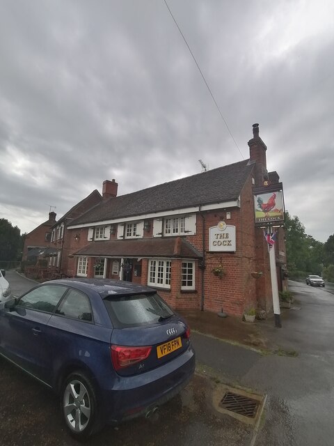
The village is well-served by amenities, including a primary school, a village hall, and a local pub. The school, known as North Crawley Church of England School, provides education for children aged 4 to 11 and has a strong reputation for academic excellence.

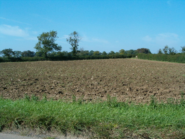
For outdoor enthusiasts, North Crawley offers plenty of opportunities for exploration and recreation. The surrounding countryside is ideal for long walks, cycling, and horseback riding, with numerous footpaths and bridleways to be discovered.

In conclusion, North Crawley is a charming village that combines historical charm with a strong sense of community. With its idyllic setting and range of amenities, it offers a peaceful and quality lifestyle for its residents.

If you have any feedback on the listing, please let us know in the comments section below.

North Crawley Images

Images are sourced within 2km of 52.093055/-0.647306 or Grid Reference SP9244. Thanks to Geograph Open Source API. All images are credited.

Crawley Road towards North Crawley From Cranfield.
Crawley Road towards North Crawley
From Cranfield.
Road towards North Crawley By Home Close Farm and Ivy Cottage.
Road towards North Crawley
By Home Close Farm and Ivy Cottage.
High Street, North Crawley
Road towards Newport Pagnell Through Brook End, North Crawley.
Road towards Newport Pagnell
Through Brook End, North Crawley.
The Cock North Crawley
Little Crawley: Gog Lane
Ford near North Crawley Increased in both length and depth by winter rainfall, the ford at East End between North Crawley and Cranfield.
Ford near North Crawley
Increased in both length and depth by winter rainfall, the ford at East End between North Crawley and Cranfield.
Hurstend Farm Hurstend Farm is now being used as a rural industrial estate.
Hurstend Farm
Hurstend Farm is now being used as a rural industrial estate.
North Crawley The centre of the village, with two public houses!
North Crawley
The centre of the village, with two public houses!
Rectory Farm Rectory Farm and the entrance to Wellies day nursery.
Rectory Farm
Rectory Farm and the entrance to Wellies day nursery.
Little Crawley The hamlet of Little Crawley
Little Crawley
The hamlet of Little Crawley
Little Crawley A different view of the few dwellings that make up Little Crawley
Little Crawley
A different view of the few dwellings that make up Little Crawley
Feeling Tyred? A pile of old wheels, left by the roadside.
Feeling Tyred?
A pile of old wheels, left by the roadside.
Ploughed Field A ploughed field next to the road from Little Crawley to Little End/Chicheley.
Ploughed Field
A ploughed field next to the road from Little Crawley to Little End/Chicheley.
A422 The A422, heading east towards Bedford.
A422
The A422, heading east towards Bedford.
Swansriver Swansriver, a house besides the A422 between Milton keynes and Bedford.
Swansriver
Swansriver, a house besides the A422 between Milton keynes and Bedford.
Roadsign A roadsign at the junction of Gog Lane with the A422.
Roadsign
A roadsign at the junction of Gog Lane with the A422.
Show me another place!

North Crawley is located at Grid Ref: SP9244 (Lat: 52.093055, Lng: -0.647306)

Unitary Authority: Milton Keynes

Police Authority: Thames Valley

What 3 Words

///salaried.strongly.stiletto. Near Chicheley, Buckinghamshire

Related Wikis

North Crawley

North Crawley is a village and civil parish in the unitary authority area of the City of Milton Keynes, Buckinghamshire, England. It is located near...

Cranfield School of Management

Cranfield School of Management, established in 1967, is a business school that is part of Cranfield University in Bedfordshire, United Kingdom. Cranfield...

Chicheley Hall

Chicheley Hall, Chicheley, Buckinghamshire, England is a country house built in the first quarter of the 18th century. The client was Sir John Chester...

Chicheley War Memorial

Chicheley War Memorial is located in Hall Lane, Chicheley, Buckinghamshire, England. It is a grade II listed building with Historic England. It was designed...

Cranfield University

Cranfield University is a British postgraduate-only public research university specialising in science, engineering, design, technology and management...

Chicheley

Chicheley is a village and civil parish in the unitary authority area of the City of Milton Keynes, Buckinghamshire, England. The village is about 2.5...

Hardmead

Hardmead is a small village in the unitary authority area of the City of Milton Keynes, Buckinghamshire, England. It is in the north of the Borough, about...

St Mary's Church, Hardmead

St Mary's Church is a redundant Anglican church in the village of Hardmead, Buckinghamshire, England. It is recorded in the National Heritage List for...

Nearby Amenities

Located within 500m of 52.093055,-0.647306
Bus Stop
Chicheley Road
Bus: yes
Naptan AtcoCode: 049002539551
Naptan Bearing: E
Naptan CommonName: Chicheley Road
Naptan Indicator: o/s 1
Naptan Landmark: N
Naptan NaptanCode: mltawgp
Naptan Street: High Street
Naptan Verified: no
Public Transport: platform
Source: naptan_import
Lat/Long: 52.0932322/-0.6510703
Pub
The Cock
Addr Housenumber: 16
Addr Postcode: MK16 9LH
Addr Street: High Street
Brewery: Charles Wells
Fhrs Id: 133926
Phone: +44 1234 391222
Lat/Long: 52.0929934/-0.6486453
Pub
The Chequers
Addr City: Milton Keynes
Addr Country: GB
Addr Housenumber: 24
Addr Postcode: MK16 9LH
Addr Street: High Street
Addr Suburb: North Crawley
Fhrs Authority: Milton Keynes
Fhrs Id: 134917
Fhrs Local Authority Id: 68411
Phone: +44 1234 391095
Lat/Long: 52.0930404/-0.6474166
North Crawley
Place: village
Wikidata: Q1790366
Wikipedia: en:North Crawley
Lat/Long: 52.0939909/-0.6510074
Bus Stop
The Cock
Bus: yes
Naptan AtcoCode: 049002539081
Naptan Bearing: W
Naptan CommonName: The Cock
Naptan Indicator: o/s
Naptan Landmark: The Cock Public House
Naptan NaptanCode: mltawgj
Naptan Street: High Street
Public Transport: platform
Shelter: yes
Source: naptan_import
Lat/Long: 52.0930856/-0.6483345
Bus Stop
The Cock
Bus: yes
Naptan AtcoCode: 049002539581
Naptan Bearing: E
Naptan BusStopType: CUS
Naptan CommonName: The Cock
Naptan Indicator: opp
Naptan Landmark: The Cock Public House
Naptan NaptanCode: mltadaj
Naptan Street: High Street
Note: Naptan has as CUS but there is a stop sign here...
Public Transport: platform
Source: naptan_import
Lat/Long: 52.0931819/-0.6482794
Crossing
Lat/Long: 52.0945146/-0.6405829
Power: pole
Lat/Long: 52.0913827/-0.6410967
Power: pole
Lat/Long: 52.0910012/-0.642025
Power: pole
Lat/Long: 52.0907412/-0.6426734
Power: pole
Lat/Long: 52.0903672/-0.6435957
Power: pole
Lat/Long: 52.0900119/-0.6444723
Power: pole
Lat/Long: 52.089675/-0.6454054
Power: pole
Lat/Long: 52.0886336/-0.6470269
Barrier: stile
Lat/Long: 52.0957977/-0.6439621
Barrier: kissing_gate
Lat/Long: 52.094773/-0.645881
Barrier: stile
Lat/Long: 52.0950832/-0.6449615
Barrier: kissing_gate
Lat/Long: 52.0922452/-0.6439766
Barrier: kissing_gate
Lat/Long: 52.095678/-0.6494145
Barrier: kissing_gate
Lat/Long: 52.096361/-0.6468979
North Crawley Mart
Addr City: Milton Keynes
Addr Country: GB
Addr Housenumber: 25
Addr Postcode: MK16 9LH
Addr Street: High Street
Addr Suburb: North Crawley
Fhrs Authority: Milton Keynes
Fhrs Id: 735099
Fhrs Local Authority Id: 57969
Shop: convenience
Lat/Long: 52.0931884/-0.6472341
Post Box
Brand: Royal Mail
Brand Wikidata: Q638098
Brand Wikipedia: en:Royal Mail
Collection Times: Mo-Fr 16:00; Sa 09:00
Operator: Royal Mail
Operator Wikidata: Q638098
Post Box Type: pillar
Ref: MK16 163
Royal Cypher: EIIR
Royal Cypher Wikidata: Q33102113
Source: survey
Survey Date: 2017-09-03
Lat/Long: 52.0931411/-0.6473049
Direction: 180
Generator Method: photovoltaic
Generator Output Electricity: yes
Generator Solar Modules: 13
Generator Source: solar
Generator Type: solar_photovoltaic_panel
Location: roof
Power: generator
Lat/Long: 52.0950425/-0.649944
Direction: 170
Generator Method: photovoltaic
Generator Output Electricity: yes
Generator Solar Modules: 16
Generator Source: solar
Generator Type: solar_photovoltaic_panel
Location: roof
Power: generator
Lat/Long: 52.0937876/-0.6488848
Turning Circle
Turning Circle: knuckle
Lat/Long: 52.0946718/-0.6519482
The data included in this document is from www.openstreetmap.org. The data is made available under ODbL.

Have you been to North Crawley?

Leave your review of North Crawley below (or comments, questions and feedback).