Cove, North

Settlement in Suffolk East Suffolk

England

Cove, North

Acheulean-mousterian cordate hand-axe The axe which measures 78mm x 65mm was found near this spot in 1980 and was identified by Norwich museum as being about 160,000 years old. The general location can be seen here <a title="https://www.geograph.org.uk/photo/6946241" href="https://www.geograph.org.uk/photo/6946241">Link</a>
Acheulean-mousterian cordate hand-axe Credit: Adrian S Pye

Cove is a small village located in the county of Suffolk, in the eastern region of England. Situated in the district of Babergh, Cove is nestled in the picturesque countryside, surrounded by rolling hills and lush green fields. It is part of the larger civil parish of North Cove.

The village is characterized by its charming and quaint atmosphere, with a population of around 200 residents. The architecture in Cove reflects its rich history, with several traditional thatched cottages and historic buildings dotting the landscape. The village is known for its well-preserved medieval church, St. Andrew's Church, which stands as a testament to its religious heritage.

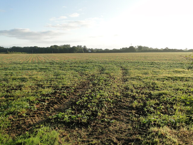
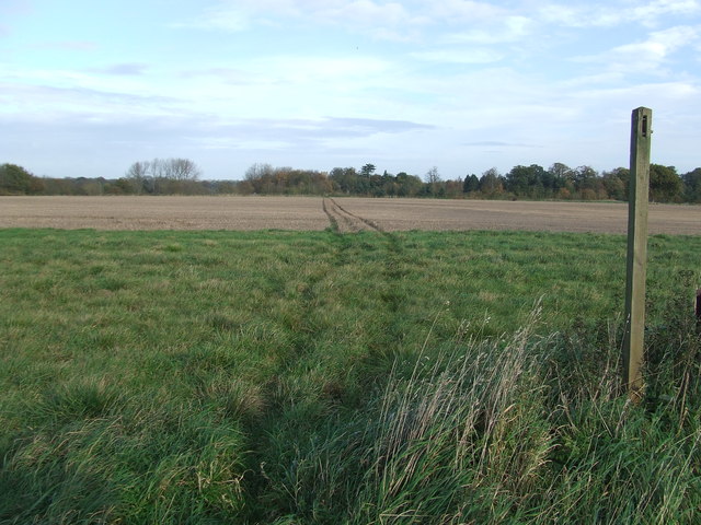
Cove is predominantly an agricultural community, with farming playing a significant role in the local economy. The fertile soil of the region allows for the cultivation of various crops, including wheat, barley, and rapeseed. The village is also home to a few small businesses, such as a village shop and a local pub, which serve as gathering places for both residents and visitors.

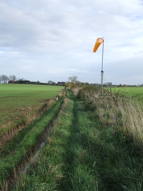
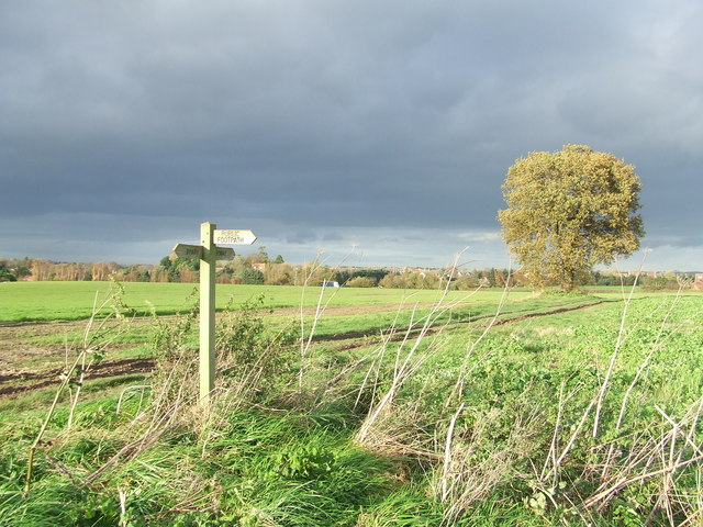
Nature enthusiasts are drawn to Cove for its scenic beauty and proximity to nature reserves and walking trails. The surrounding countryside offers ample opportunities for outdoor activities, such as hiking, cycling, and birdwatching. The village also benefits from its close proximity to the Suffolk coast, allowing residents and visitors to enjoy the sandy beaches and coastal charm.

Overall, Cove, North, Suffolk is a tranquil and idyllic village, perfect for those seeking a peaceful retreat in the heart of the Suffolk countryside.

If you have any feedback on the listing, please let us know in the comments section below.
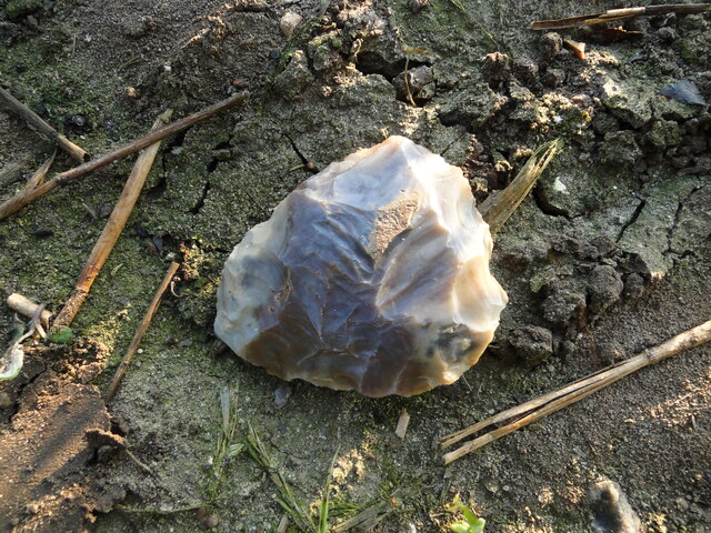
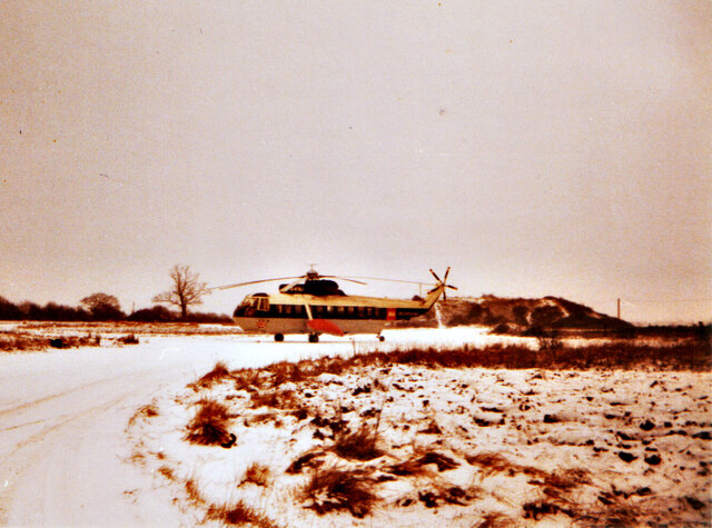
Cove, North Images

Images are sourced within 2km of 52.446816/1.63182 or Grid Reference TM4689. Thanks to Geograph Open Source API. All images are credited.

Acheulean-mousterian cordate hand-axe The axe which measures 78mm x 65mm was found near this spot in 1980 and was identified by Norwich museum as being about 160,000 years old. The general location can be seen here <a title="https://www.geograph.org.uk/photo/6946241" href="https://www.geograph.org.uk/photo/6946241">Link</a>
Acheulean-mousterian cordate hand-axe
The axe which measures 78mm x 65mm was found near this spot in 1980 and was identified by Norwich museum as being about 160,000 years old. The general location can be seen here Link
Field at North Cove A flint hand axe was found in this field in 1980 <a href="https://www.geograph.org.uk/photo/6946234">TM4689 : Acheulean-mousterian cordate hand-axe</a>
Field at North Cove
A flint hand axe was found in this field in 1980 TM4689 : Acheulean-mousterian cordate hand-axe
BA helicopter at Beccles Heliport (1965) After the war the airport remained dormant until 1965 when it became Beccles Heliport, serving North Sea oil and gas rigs. Operation of the heliport was transferred to Norwich International Airport in the 1990s.
BA helicopter at Beccles Heliport (1965)
After the war the airport remained dormant until 1965 when it became Beccles Heliport, serving North Sea oil and gas rigs. Operation of the heliport was transferred to Norwich International Airport in the 1990s.
St John the Baptist Cemetery
Pond & Pond Farm View of pond adjacent to Pond Farm (right) looking down Mutford Wood (lane) towards St John the Baptist at Barnby.
Pond & Pond Farm
View of pond adjacent to Pond Farm (right) looking down Mutford Wood (lane) towards St John the Baptist at Barnby.
Church of St. Andrew, Mutford <span class="nowrap"><a title="https://historicengland.org.uk/listing/the-list/list-entry/1032081?section=official-list-entry" rel="nofollow ugc noopener" href="https://historicengland.org.uk/listing/the-list/list-entry/1032081?section=official-list-entry">Link</a><img style="margin-left:2px;" alt="External link" title="External link - shift click to open in new window" src="https://s1.geograph.org.uk/img/external.png" width="10" height="10"/></span>
Church of St. Andrew, Mutford
Mutford War Memorial <span class="nowrap"><a title="https://historicengland.org.uk/listing/the-list/list-entry/1458638?section=official-list-entry" rel="nofollow ugc noopener" href="https://historicengland.org.uk/listing/the-list/list-entry/1458638?section=official-list-entry">Link</a><img style="margin-left:2px;" alt="External link" title="External link - shift click to open in new window" src="https://s1.geograph.org.uk/img/external.png" width="10" height="10"/></span>
Mutford War Memorial
Footpath Footpath across a field near to North Cove, Suffolk.
Footpath
Footpath across a field near to North Cove, Suffolk.
Path And Wind Sock Footpath and wind sock near to North Cove, Suffolk.
Path And Wind Sock
Footpath and wind sock near to North Cove, Suffolk.
Footpath And Sign Footpath and sign near to North Cove, Suffolk.
Footpath And Sign
Footpath and sign near to North Cove, Suffolk.
Footpath And Dark Skies Footpath and dark skies near to Barnby, Suffolk.
Footpath And Dark Skies
Footpath and dark skies near to Barnby, Suffolk.
Green Track Dark Skies Green footpath and dark Skies near to Barnby, Suffolk.
Green Track Dark Skies
Green footpath and dark Skies near to Barnby, Suffolk.
Footpath Junction Footpath junction near to Barnby, Suffolk.
Footpath Junction
Footpath junction near to Barnby, Suffolk.
Old Farm Buildings Old farm buildings at Marsh Lane Farm near to Hulver Street, Suffolk.
Old Farm Buildings
Old farm buildings at Marsh Lane Farm near to Hulver Street, Suffolk.
Across Field Of Beet Footpath across a field of Sugar Beet near to Mutford, Suffolk.
Across Field Of Beet
Footpath across a field of Sugar Beet near to Mutford, Suffolk.
St Andrew Mutford The church of St Andrew, Mutford, Suffolk; for info on the church see <span class="nowrap"><a title="http://www.suffolkchurches.co.uk/mutford.htm" rel="nofollow ugc noopener" href="http://www.suffolkchurches.co.uk/mutford.htm">Link</a><img style="margin-left:2px;" alt="External link" title="External link - shift click to open in new window" src="https://s1.geograph.org.uk/img/external.png" width="10" height="10"/></span> and for other view see <a title="https://www.geograph.org.uk/photo/4747110" href="https://www.geograph.org.uk/photo/4747110">Link</a>
St Andrew Mutford
The church of St Andrew, Mutford, Suffolk; for info on the church see LinkExternal link and for other view see Link
St. Andrew Mutford The church of St Andrew, Mutford, Suffolk for info on the church see <span class="nowrap"><a title="http://www.suffolkchurches.co.uk/mutford.htm" rel="nofollow ugc noopener" href="http://www.suffolkchurches.co.uk/mutford.htm">Link</a><img style="margin-left:2px;" alt="External link" title="External link - shift click to open in new window" src="https://s1.geograph.org.uk/img/external.png" width="10" height="10"/></span> and for other view see <a title="https://www.geograph.org.uk/photo/4747109" href="https://www.geograph.org.uk/photo/4747109">Link</a>
St. Andrew Mutford
The church of St Andrew, Mutford, Suffolk for info on the church see LinkExternal link and for other view see Link
Show me another place!

Cove, North is located at Grid Ref: TM4689 (Lat: 52.446816, Lng: 1.63182)

Administrative County: Suffolk

District: East Suffolk

Police Authority: Suffolk

What 3 Words

///risen.wolf.intervene. Near Beccles, Suffolk

Related Wikis

North Cove

North Cove is a village and civil parish in the north of the English county of Suffolk. It is part of the East Suffolk district, located around 3 miles...

Barnby, Suffolk

Barnby is a village and civil parish in the East Suffolk district of the English county of Suffolk. The village is 5 miles (8.0 km) west of Lowestoft and...

North Cove Nature Reserve

North Cove is a 15.5-hectare (38-acre) nature reserve between Beccles and Lowestoft in Suffolk. It is managed by the owner and Beccles Bird Society, is...

Castle Marshes

Castle Marshes is a 71 hectare nature reserve west of Lowestoft in Suffolk. It is managed by the Suffolk Wildlife Trust. It is part of the Barnby Broad...

Nearby Amenities

Located within 500m of 52.446816,1.63182
Barnby
Place: village
Source: npe
Wikidata: Q1910817
Lat/Long: 52.4475799/1.634491
North Cove
Place: village
Source: NPE
Wikidata: Q2348551
Lat/Long: 52.4448397/1.6254357
Bus Stop
Post Office
Bus: yes
Naptan AtcoCode: 390070088
Naptan Bearing: E
Naptan CommonName: Post Office
Naptan Indicator: opp
Naptan Landmark: Post Office
Naptan NaptanCode: sufgwdmp
Naptan Street: The Street
Naptan Verified: no
Public Transport: platform
Source: naptan_import
Lat/Long: 52.4469623/1.631871
Bus Stop
Post Office
Bus: yes
Naptan AtcoCode: 390070089
Naptan Bearing: W
Naptan CommonName: Post Office
Naptan Indicator: adj
Naptan Landmark: Post Office
Naptan NaptanCode: sufgwdmt
Naptan Street: The Street
Naptan Verified: no
Public Transport: platform
Source: naptan_import
Lat/Long: 52.4468125/1.631758
Bus Stop
Welbeck Close
Bus: yes
Naptan AtcoCode: 390070172
Naptan Bearing: W
Naptan BusStopType: CUS
Naptan CommonName: Welbeck Close
Naptan Indicator: opp
Naptan Landmark: Welbeck Close
Naptan NaptanCode: sufgwjdp
Naptan Street: Beccles Road
Naptan Verified: no
Public Transport: platform
Source: naptan_import
Lat/Long: 52.4475363/1.6388719
The data included in this document is from www.openstreetmap.org. The data is made available under ODbL.

Have you been to Cove, North?

Leave your review of Cove, North below (or comments, questions and feedback).