Norristhorpe
Settlement in Yorkshire
England
Norristhorpe
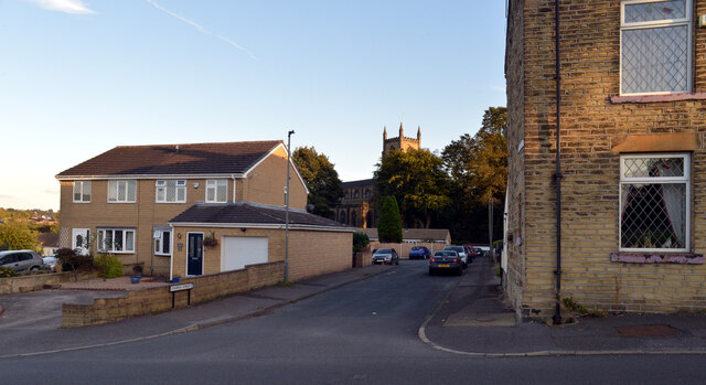
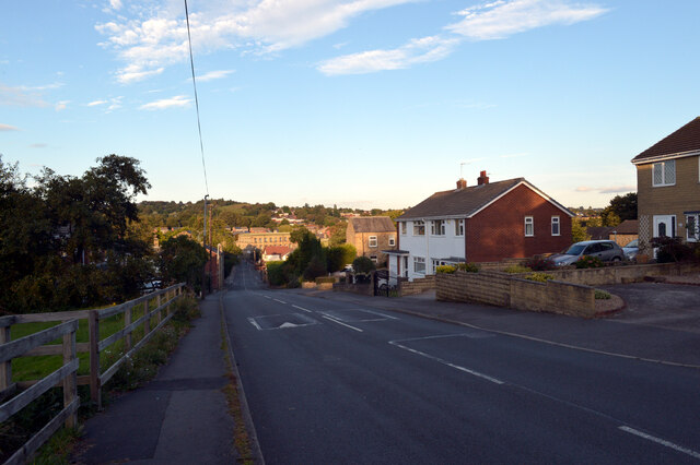
Norristhorpe is a quaint village located in the county of Yorkshire, England. Situated in the metropolitan borough of Kirklees, it is nestled in the rolling hills and picturesque countryside of West Yorkshire. The village is about 2 miles southeast of the town of Mirfield and approximately 9 miles south of the city of Leeds.
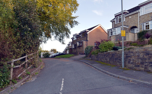
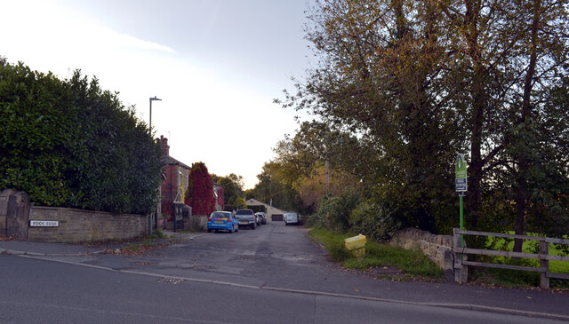
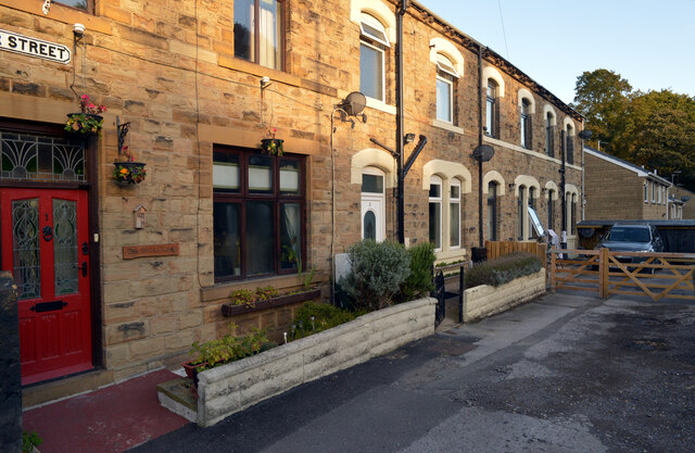
Norristhorpe is a close-knit community known for its idyllic charm and peaceful ambiance. It is characterized by its traditional stone-built houses, complemented by well-maintained gardens and green spaces. The village boasts a rich history dating back to the Domesday Book of 1086, and some historic buildings still remain, adding to its charm.
The heart of Norristhorpe is its village green, which serves as a focal point for community events and gatherings. The green is surrounded by a few local amenities, including a village hall, a pub, and a small convenience store. There are also several well-regarded primary schools in the area, making it an attractive location for families.
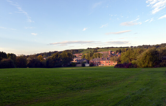
The village is surrounded by stunning natural beauty, with plenty of opportunities for outdoor activities. Nearby attractions include the picturesque Yorkshire Dales National Park, which offers breathtaking landscapes and hiking trails. Norristhorpe is also conveniently located for easy access to major transportation links, with the M62 motorway just a short drive away, connecting the village to nearby towns and cities.
Overall, Norristhorpe is a charming village that offers a peaceful rural lifestyle, combined with convenient access to nearby amenities and stunning natural beauty.
If you have any feedback on the listing, please let us know in the comments section below.
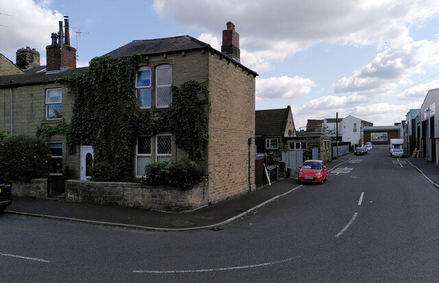
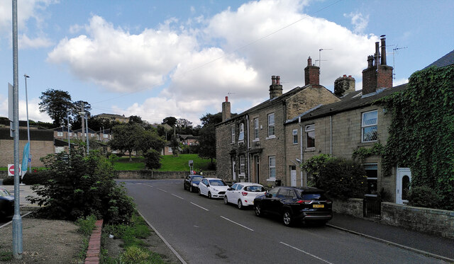
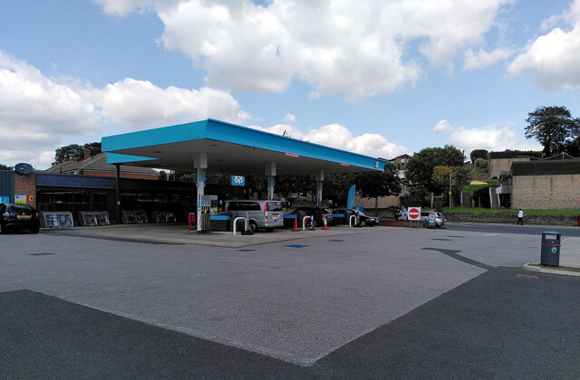
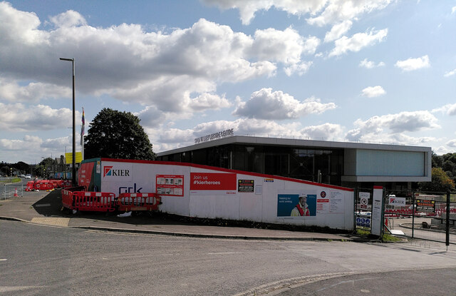
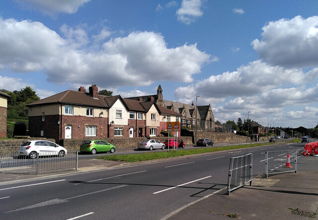
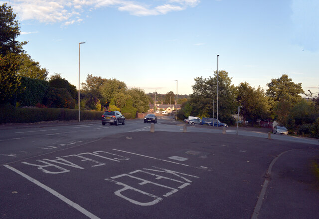
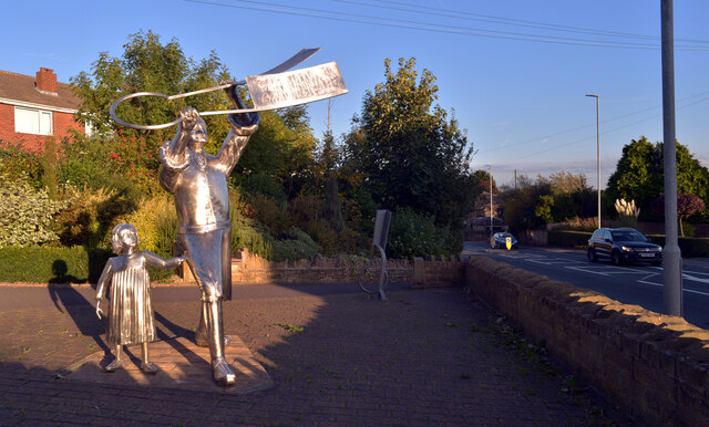
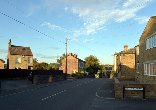
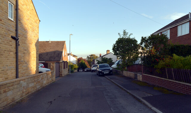
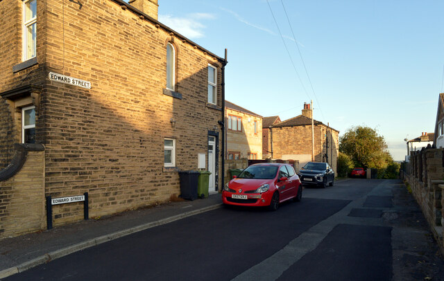
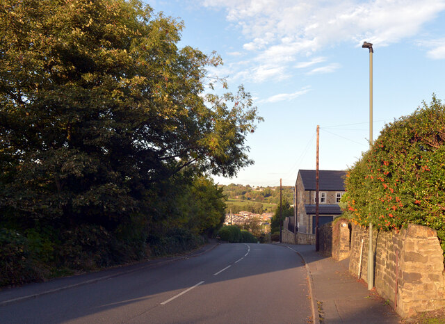
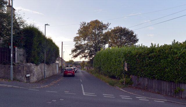
Norristhorpe Images
Images are sourced within 2km of 53.701669/-1.686415 or Grid Reference SE2022. Thanks to Geograph Open Source API. All images are credited.
Norristhorpe is located at Grid Ref: SE2022 (Lat: 53.701669, Lng: -1.686415)
Division: West Riding
Unitary Authority: Kirklees
Police Authority: West Yorkshire
What 3 Words
///tissue.mincing.probe. Near Liversedge, West Yorkshire
Nearby Locations
Related Wikis

Norristhorpe
Norristhorpe is a village in the township of Liversedge in Kirklees, West Yorkshire, England, and is historically part of the West Riding of Yorkshire...

Liversedge
Liversedge is a town and former parish of Birstall, in the Metropolitan Borough of Kirklees, West Yorkshire, England. Historically part of the West Riding...
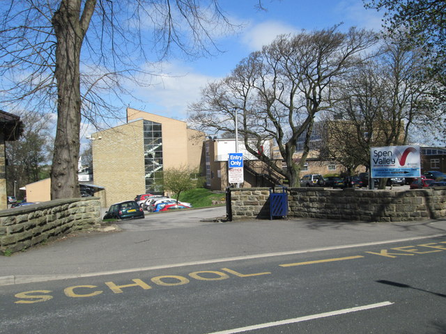
Spen Valley High School
Spen Valley High School is a high school situated in Liversedge, West Yorkshire, England.The school's proportion of pupils who do not have learning difficulties...

Heckmondwike bus station
Heckmondwike bus station (also known as Heckmondwike Hub) is a bus station in Heckmondwike, England. == History == Plans to build a bus station in Heckmondwike...
Nearby Amenities
Located within 500m of 53.701669,-1.686415Have you been to Norristhorpe?
Leave your review of Norristhorpe below (or comments, questions and feedback).