Bethel
Settlement in Montgomeryshire
Wales
Bethel

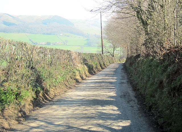
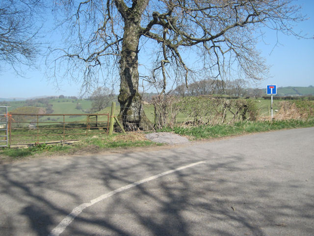
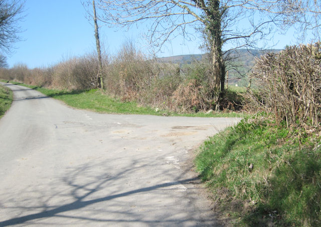
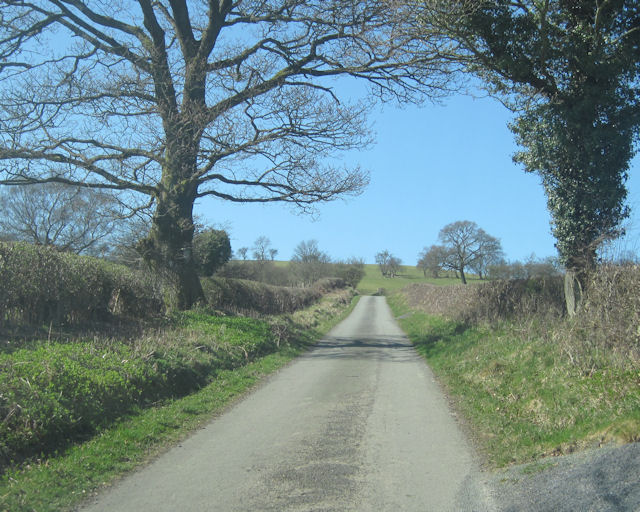
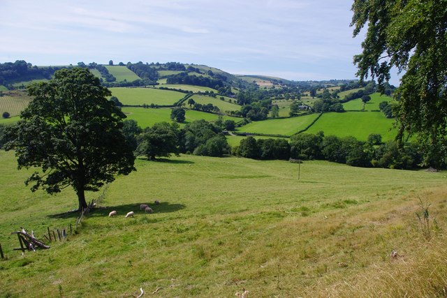
Bethel is a small village located in the county of Montgomeryshire, Wales. Situated in the beautiful countryside, it is surrounded by rolling hills, lush green fields, and picturesque landscapes. With a population of around 500 residents, Bethel offers a close-knit community atmosphere.
The village is well-known for its historic roots, dating back to the medieval period. It boasts several notable landmarks, including St. Mary's Church, a charming place of worship that dates back to the 12th century. The church is a popular tourist attraction, drawing visitors with its unique architecture and rich history.
Bethel is also home to a few local amenities, such as a primary school, a village hall, and a post office. These facilities serve as important gathering points for the community, fostering a strong sense of unity and providing essential services.
The village's economy primarily relies on agriculture, with many residents engaged in farming and livestock rearing. The fertile soil and favorable climate of the region make it ideal for agriculture, and the village benefits from the abundance of fresh produce.
Nature enthusiasts will find plenty to explore in and around Bethel. The village is surrounded by scenic walking trails and offers easy access to nearby nature reserves and national parks. Outdoor activities such as hiking, cycling, and birdwatching are popular among locals and visitors alike.
In conclusion, Bethel is a charming village in Montgomeryshire, Wales, known for its rich history, close-knit community, and stunning natural surroundings. It provides a peaceful and idyllic retreat for those seeking a rural escape.
If you have any feedback on the listing, please let us know in the comments section below.
Bethel Images
Images are sourced within 2km of 52.779647/-3.32909 or Grid Reference SJ1021. Thanks to Geograph Open Source API. All images are credited.


Bethel is located at Grid Ref: SJ1021 (Lat: 52.779647, Lng: -3.32909)
Unitary Authority: Powys
Police Authority: Dyfed Powys
What 3 Words
///worksheet.brother.bucks. Near Llanfyllin, Powys
Nearby Locations
Related Wikis

Tomen yr Allt
Tomen yr Allt (or Domen yr Allt) was a Medieval motte and bailey defensive castle near Llanfyllin in Powys, Wales. "Tomen ar hallt" is modern Welsh for...

Bodfach
Bodfach is a hamlet in the community of Llanfyllin, Powys, Wales, which is 89 miles (144 km) from Cardiff and 160 miles (257 km) from London.Nearby Bodfach...
Pedairffordd Halt railway station
Pedairffordd Halt railway station (alternatively Pedair-Ffordd Halt) was a station on the Tanat Valley Light Railway, located 1.3 miles south of Llanrhaeadr...

Pen-y-Bont-Fawr
Pen-y-Bont-Fawr (or Penybontfawr) is a small village and community in Montgomeryshire, Powys, Wales located in the Tanat valley. In the 2011 UK Census...
Penybontfawr railway station
Penybontfawr railway station was a station on the Tanat Valley Light Railway in Pen-y-bont-fawr, Powys, Wales. The station opened in 1904 and closed in...

Llanfyllin
Llanfyllin (Welsh pronunciation: [ɬanˈvəɬɪn] – ) is a market town and community in Powys, Wales. The town population in 2021 was 1,586 and the town's...
Llanfyllin High School
Llanfyllin High School (Welsh: Ysgol Uwchradd Llanfyllin) was a bilingual secondary school situated in the mid-Wales town of Llanfyllin. As of its final...
Plynlimon and Hafan Tramway
The Plynlimon and Hafan Tramway was a 2 ft 3 in (686 mm) gauge narrow gauge railway in Cardiganshire (now Ceredigion) in Mid Wales. It ran from Llanfihangel...
Nearby Amenities
Located within 500m of 52.779647,-3.32909Have you been to Bethel?
Leave your review of Bethel below (or comments, questions and feedback).