Noranside

Settlement in Angus

Scotland

Noranside

Field of bales at Deuchar Harvested field with bales, viewed from the access road to Deuchar.
Field of bales at Deuchar Credit: Scott Cormie

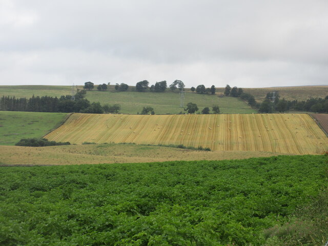
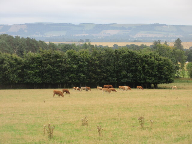
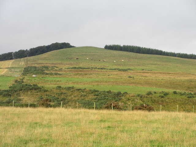
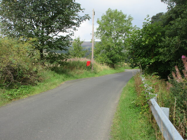
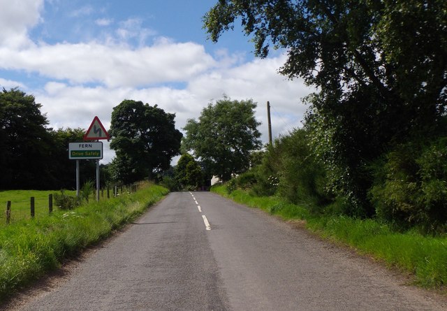
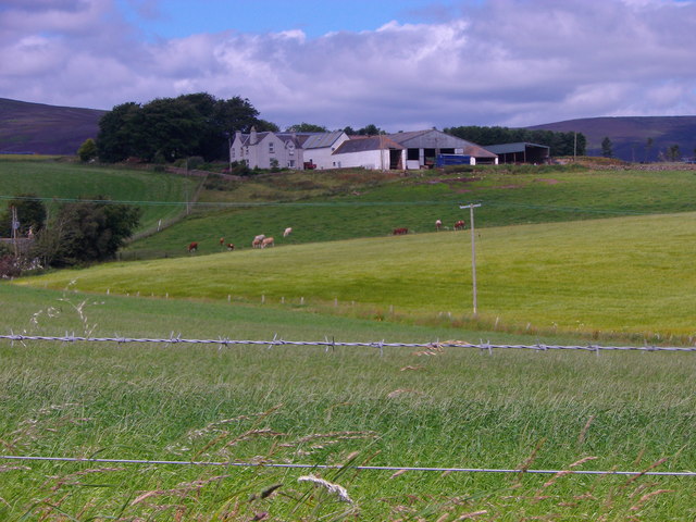
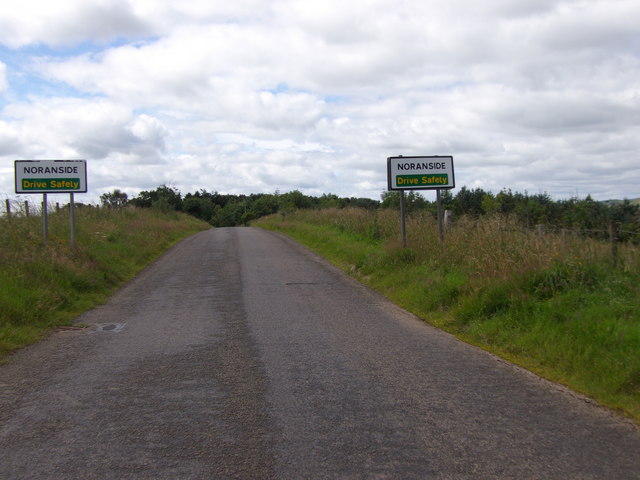
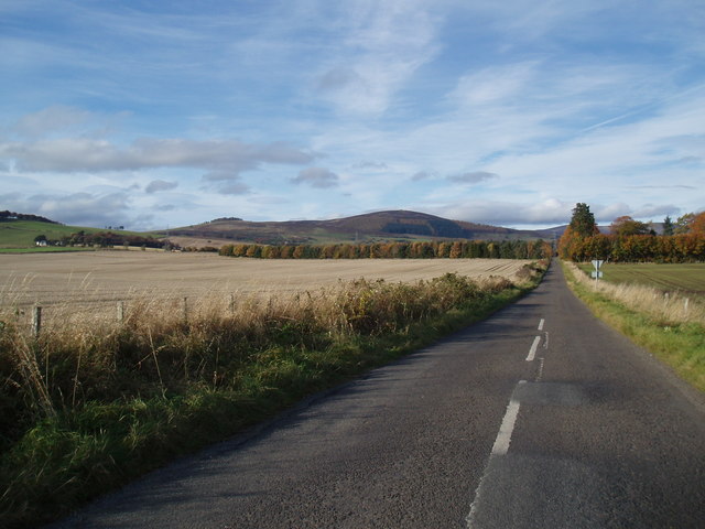
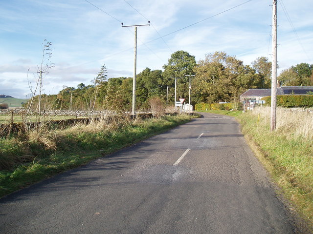
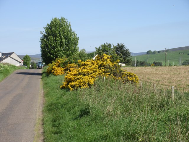
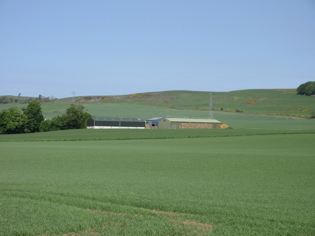
Noranside is a small village located in the Angus region of Scotland. Situated about 6 miles east of Brechin, it is nestled in the picturesque countryside, surrounded by rolling hills and lush green fields. The village is known for its tranquil and serene atmosphere, making it an ideal place for those seeking peace and quiet.

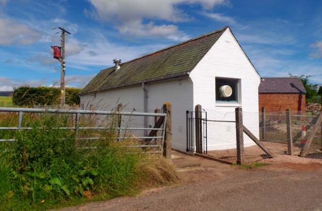
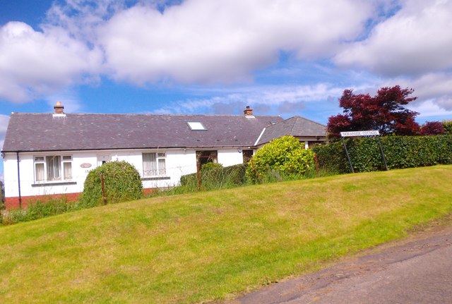
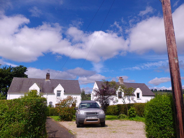
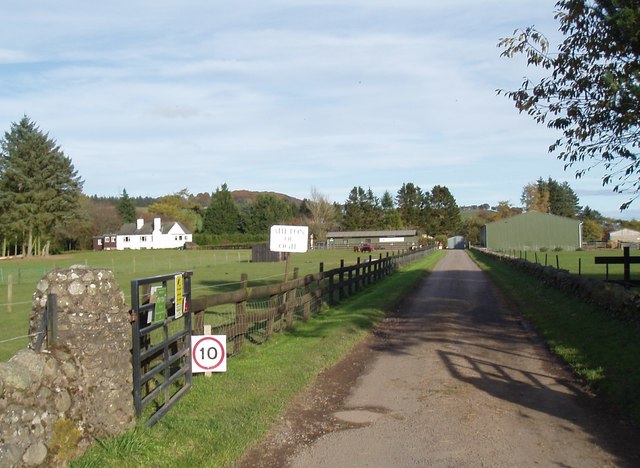
Noranside is primarily a residential area, with a small population that consists mainly of families and retirees. It features a charming mix of traditional cottages and modern houses, all of which are well-maintained and add to the village's overall aesthetic appeal. The community is close-knit, with locals often engaging in various social activities and events.

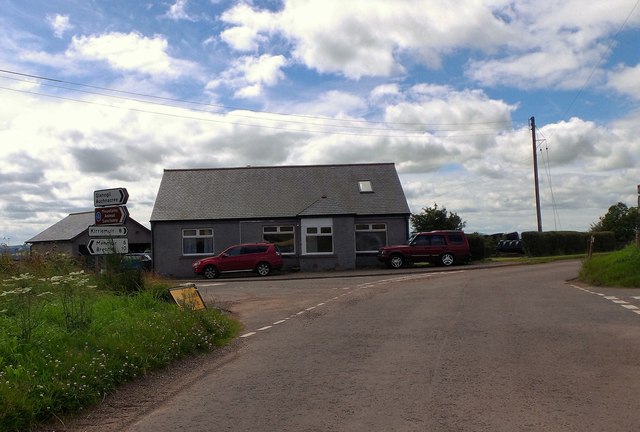
Despite its small size, Noranside offers a few amenities for its residents. There is a local pub where people can gather for a drink or enjoy a meal, providing a cozy and friendly atmosphere. The village is also home to a primary school, ensuring that families have access to education for their children. However, for more extensive facilities and services, residents usually travel to nearby towns such as Brechin or Montrose.

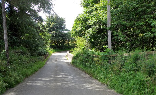
One of the main attractions in Noranside is the scenic countryside, which offers ample opportunities for outdoor activities. The surrounding hills and fields provide excellent hiking and walking trails, allowing residents and visitors to explore and appreciate the area's natural beauty. Moreover, the village's location makes it an ideal base for those looking to explore the wider Angus region, with attractions such as Glamis Castle and the Angus Glens within easy reach.

Overall, Noranside is a charming and peaceful village that offers a close-knit community, beautiful countryside, and convenient access to nearby towns and attractions.

If you have any feedback on the listing, please let us know in the comments section below.

Noranside Images

Images are sourced within 2km of 56.737094/-2.871181 or Grid Reference NO4660. Thanks to Geograph Open Source API. All images are credited.

Field of bales at Deuchar Harvested field with bales, viewed from the access road to Deuchar.
Field of bales at Deuchar
Harvested field with bales, viewed from the access road to Deuchar.
Cattle near Noranside Cattle grazing on pastureland near Noranside.
Cattle near Noranside
Cattle grazing on pastureland near Noranside.
Fern Parish Church Looking north in the churchyard to Fern Parish Church.
Fern Parish Church
Looking north in the churchyard to Fern Parish Church.
Eastern flank of Well Hill Looking up the eastern side of Well Hill, dotted with cattle.
Eastern flank of Well Hill
Looking up the eastern side of Well Hill, dotted with cattle.
Postbox at Ogil Postbox on the roadside near the site of the old telephone box at Ogil.
Postbox at Ogil
Postbox on the roadside near the site of the old telephone box at Ogil.
Entry to Fern On minor road from NE.
Entry to Fern
On minor road from NE.
Fern telephone exchange By minor road; at west end of village.
Fern telephone exchange
By minor road; at west end of village.
View NNW towards Balquhadly From the minor road west out of Fern.
View NNW towards Balquhadly
From the minor road west out of Fern.
Approach to Noranside On minor road from Fern.
Approach to Noranside
On minor road from Fern.
Noranside Cottages Council Houses by minor road from Fern.
Noranside Cottages
Council Houses by minor road from Fern.
Courtford Park, Noranside
Courtford Bridge Minor road over Noran Water.
Courtford Bridge
Minor road over Noran Water.
Denside Crossroads Approached from Noranside.
Denside Crossroads
Approached from Noranside.
Mountains Animal Sanctuary at Milton of Ogil
Minor road at Milton of Ogil
Denside Cross Roads
Denside Cross Roads
Gorse by the roadside Gorse in full bloom on the verge of the road approaching Denside Crossroads.
Gorse by the roadside
Gorse in full bloom on the verge of the road approaching Denside Crossroads.
Derachie Farm Farm outbuildings at Derachie, with the Hill of Ogil beyond.
Derachie Farm
Farm outbuildings at Derachie, with the Hill of Ogil beyond.
Show me another place!

Noranside is located at Grid Ref: NO4660 (Lat: 56.737094, Lng: -2.871181)

Unitary Authority: Angus

Police Authority: Tayside

What 3 Words

///asterisk.imprints.wool. Near Forfar, Angus

Nearby Locations

Noranside Haerpit Haugh

Related Wikis

Noranside

Noranside is a hamlet in Angus, Scotland, located at 56° 44' 0" North, 2° 52' 0" West,. The prison HMP Noranside was operated there from 1966 to 2011....

Auchnacree

Auchnacree is an estate in Angus, Scotland, five miles north of Forfar.In 1921 the estate overseer, Mr Frank Rae, discovered what is now called the Auchnacree...

Tannadice, Angus

Tannadice is a village in Angus, Scotland that lies on the River South Esk and is 4 miles north of Forfar. The estate of Tannadice was formerly owned by...

Tannadice railway station

Tannadice railway station served the village of Tannadice, Angus, Scotland, from 1895 to 1952 on the Forfar and Brechin Railway. == History == The station...

Justinhaugh railway station

Justinhaugh railway station served the hamlet of Justinhaugh, Angus, Scotland, from 1895 to 1952 on the Forfar and Brechin Railway. == History == The station...

Finavon

Finavon is a small settlement in Angus, Scotland. Its Ordnance Survey grid reference is NO4957. == References ==

Memus

Memus is a small village in Angus, Scotland, north of Kirriemuir. It is home to the Drovers Pub. A story is told of a kelpie at Shielhill Bridge, leaving...

Oathlaw

Oathlaw is a village in Angus, Scotland, 4 miles north of Forfar. == References ==

Nearby Amenities

Located within 500m of 56.737094,-2.871181
Bus Stop
Noranside Cottages
Bus: yes
Naptan AtcoCode: 6490IM011
Naptan Bearing: NE
Naptan BusStopType: CUS
Naptan CommonName: Noranside Cottages
Naptan Indicator: opp
Naptan NaptanCode: 26425626
Naptan Street: Unclassified Road
Naptan Verified: no
Public Transport: platform
Source: naptan_import
Lat/Long: 56.7370325/-2.8709299
Bus Stop
Noranside Cottages
Bus: yes
Local Ref: AT
Naptan AtcoCode: 6490IM125
Naptan Bearing: SE
Naptan BusStopType: CUS
Naptan CommonName: Noranside Cottages
Naptan Indicator: at
Naptan NaptanCode: 26426742
Naptan Street: Unclassified Road
Naptan Verified: no
Public Transport: platform
Source: naptan_import
Lat/Long: 56.7372364/-2.8713269
Noranside
Place: hamlet
Wikidata: Q16867809
Wikipedia: en:Noranside
Lat/Long: 56.7352818/-2.8684125
Noranside
Traffic Sign: city_limit
Traffic Sign Direction: forward
Lat/Long: 56.7368934/-2.8757825
Little Deuchar
Place: isolated_dwelling
Lat/Long: 56.7379685/-2.8761546
Courtford Park
Place: hamlet
Lat/Long: 56.7373918/-2.8744594
Power: pole
Lat/Long: 56.7371737/-2.8789233
Power: pole
Lat/Long: 56.7373081/-2.878115
Power: pole
Lat/Long: 56.7377256/-2.877071
Power: pole
Lat/Long: 56.738147/-2.875987
Power: pole
Lat/Long: 56.7384856/-2.8749642
Power: pole
Lat/Long: 56.7388953/-2.8741748
Power: pole
Lat/Long: 56.7393083/-2.8733464
Power: pole
Lat/Long: 56.7397283/-2.8727007
Power: pole
Lat/Long: 56.7401652/-2.8720597
Power: pole
Lat/Long: 56.7406938/-2.8717345
Power: pole
Lat/Long: 56.7410737/-2.8715224
Power: pole
Lat/Long: 56.73786/-2.8750161
Power: pole
Lat/Long: 56.7376584/-2.8738543
Power: pole
Lat/Long: 56.7376428/-2.8729375
Power: pole
Lat/Long: 56.7376274/-2.8720302
Power: pole
Lat/Long: 56.7371297/-2.8629921
Power: pole
Lat/Long: 56.7348832/-2.8651731
Power: pole
Lat/Long: 56.7350047/-2.8663632
Power: pole
Lat/Long: 56.7351294/-2.8676016
Power: pole
Lat/Long: 56.7352167/-2.868695
The data included in this document is from www.openstreetmap.org. The data is made available under ODbL.

Have you been to Noranside?

Leave your review of Noranside below (or comments, questions and feedback).