Haerpit Haugh
Wood, Forest in Angus
Scotland
Haerpit Haugh
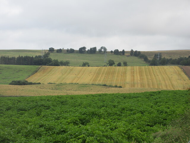
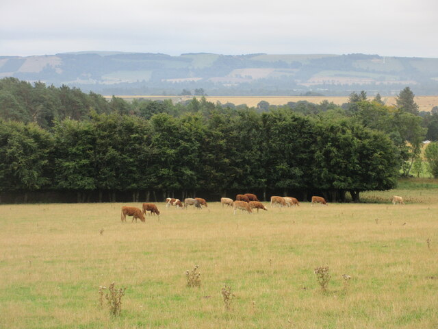
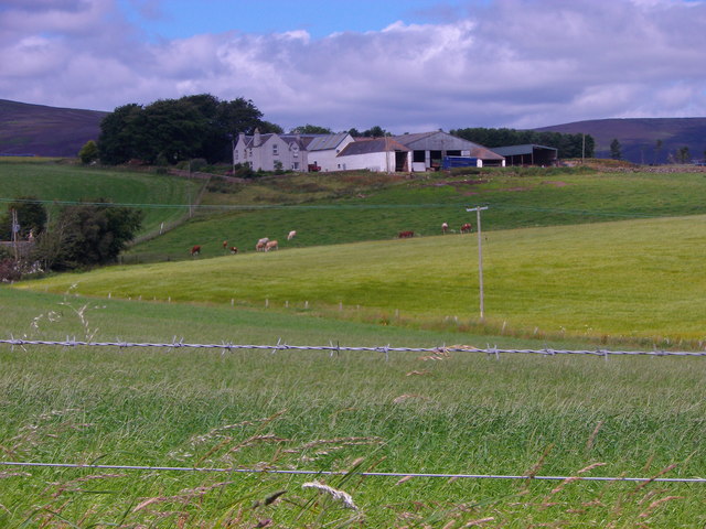
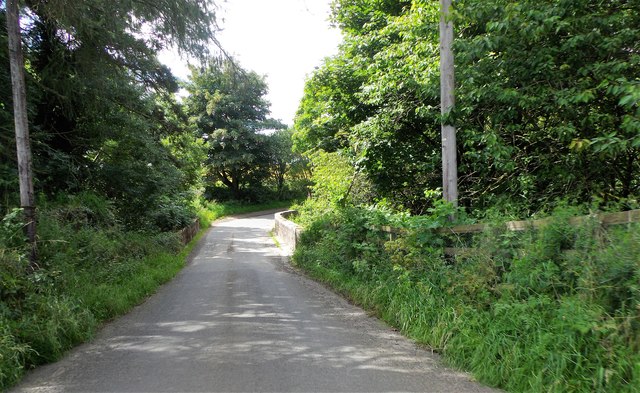
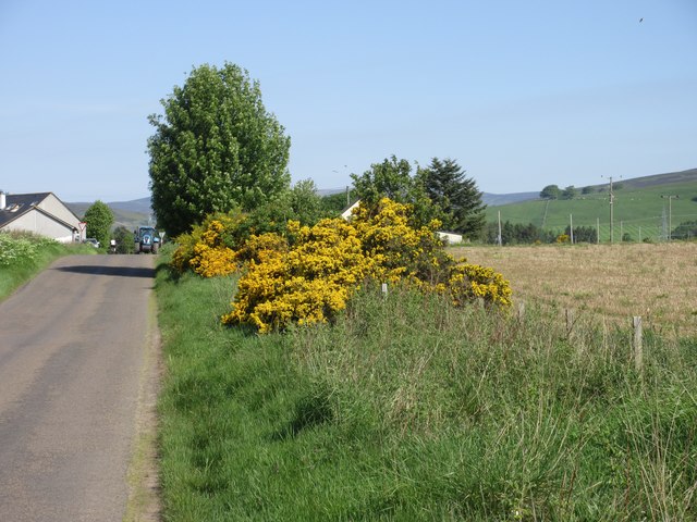
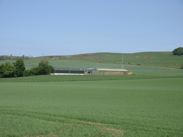
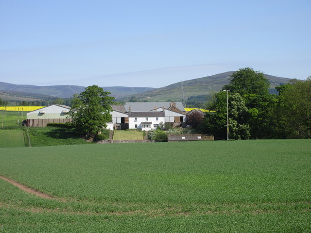
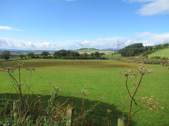
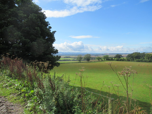
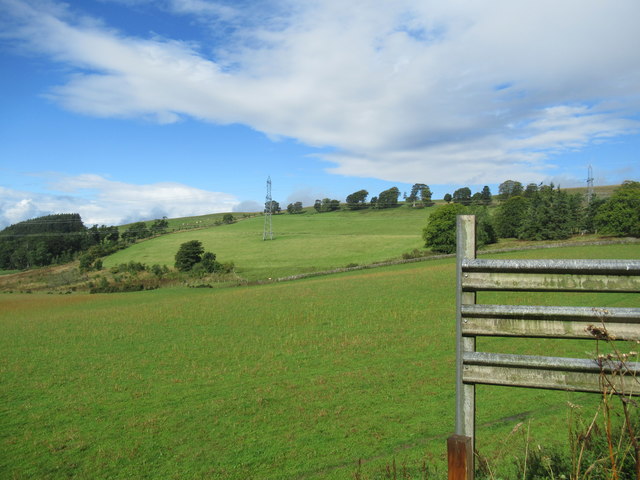
Haerpit Haugh, located in the Angus region of Scotland, is a picturesque wood or forest area that spans over a considerable stretch of land. Nestled in the heart of the Scottish countryside, this enchanting woodland is a haven for nature lovers and outdoor enthusiasts.
Characterized by its dense foliage, Haerpit Haugh is home to a diverse array of plant and animal species. The forest is predominantly made up of native tree species such as oak, birch, and rowan, which contribute to the area's rich biodiversity. The forest floor is adorned with a vibrant carpet of wildflowers during the spring and summer months, creating a visually stunning landscape.
Haerpit Haugh is also known for its tranquil atmosphere, making it an ideal destination for those seeking solitude and relaxation. The rustling of leaves, the chirping of birds, and the gentle babbling of nearby streams create a symphony of sounds that soothes the soul. The forest's well-maintained trails allow visitors to explore its beauty at their own pace, providing opportunities for hiking, cycling, and wildlife spotting.
Moreover, Haerpit Haugh holds historical and cultural significance. The forest has been a part of the local community for generations and has witnessed countless stories unfold. Folklore and legends are intertwined with its ancient trees and hidden nooks, adding an air of mystery and intrigue to the area.
In conclusion, Haerpit Haugh is a captivating woodland in Angus, Scotland, offering visitors a chance to reconnect with nature, experience tranquility, and delve into the region's rich history.
If you have any feedback on the listing, please let us know in the comments section below.
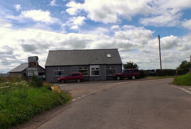
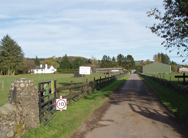
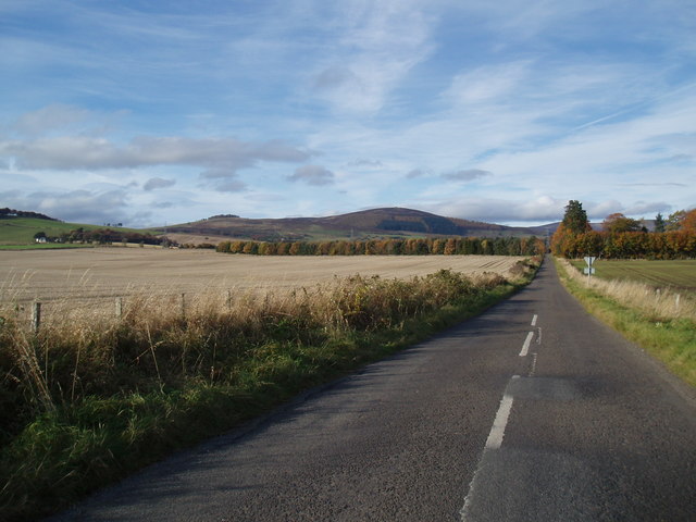
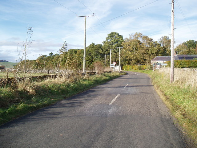
Haerpit Haugh Images
Images are sourced within 2km of 56.733316/-2.8718618 or Grid Reference NO4660. Thanks to Geograph Open Source API. All images are credited.
Haerpit Haugh is located at Grid Ref: NO4660 (Lat: 56.733316, Lng: -2.8718618)
Unitary Authority: Angus
Police Authority: Tayside
What 3 Words
///translate.special.clerk. Near Forfar, Angus
Nearby Locations
Related Wikis

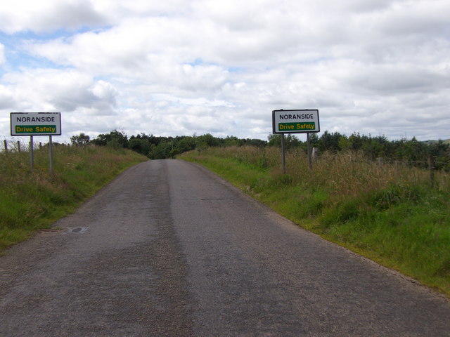
Noranside
Noranside is a hamlet in Angus, Scotland, located at 56° 44' 0" North, 2° 52' 0" West,. The prison HMP Noranside was operated there from 1966 to 2011....

Tannadice, Angus
Tannadice is a village in Angus, Scotland that lies on the River South Esk and is 4 miles north of Forfar. The estate of Tannadice was formerly owned by...

Tannadice railway station
Tannadice railway station served the village of Tannadice, Angus, Scotland, from 1895 to 1952 on the Forfar and Brechin Railway. == History == The station...
Auchnacree
Auchnacree is an estate in Angus, Scotland, five miles north of Forfar.In 1921 the estate overseer, Mr Frank Rae, discovered what is now called the Auchnacree...
Justinhaugh railway station
Justinhaugh railway station served the hamlet of Justinhaugh, Angus, Scotland, from 1895 to 1952 on the Forfar and Brechin Railway. == History == The station...
Finavon
Finavon is a small settlement in Angus, Scotland. Its Ordnance Survey grid reference is NO4957. == References ==

Oathlaw
Oathlaw is a village in Angus, Scotland, 4 miles north of Forfar. == References ==

Memus
Memus is a small village in Angus, Scotland, north of Kirriemuir. It is home to the Drovers Pub. A story is told of a kelpie at Shielhill Bridge, leaving...
Nearby Amenities
Located within 500m of 56.733316,-2.8718618Have you been to Haerpit Haugh?
Leave your review of Haerpit Haugh below (or comments, questions and feedback).