Besthorpe

Settlement in Norfolk Breckland

England

Besthorpe

Arriving at Attleborough Viewed on a journey between Thetford and Norwich on a dull summer day.
Arriving at Attleborough Credit: Mary and Angus Hogg

Besthorpe is a small village located in the county of Norfolk, England. Situated just 6 miles south-east of the town of Attleborough, it is nestled amidst the picturesque Norfolk countryside. The village is home to a population of around 500 residents.

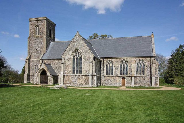
Besthorpe boasts a rich history that can be traced back to the Domesday Book, where it is mentioned as "Bestorp." The village has retained its traditional charm, with many of its buildings dating back several centuries. The beautiful St. Bartholomew's Church, which dates back to the 14th century, is a prominent landmark in the village.

Despite its small size, Besthorpe offers a range of amenities to its residents. The village has a primary school, providing education for children aged 4 to 11. Additionally, there is a community center that hosts various events and activities, fostering a sense of community spirit.

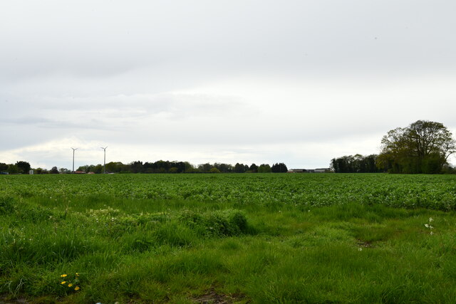
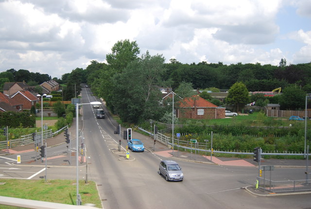
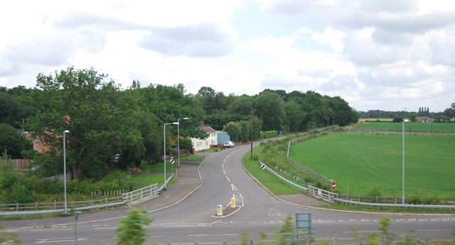
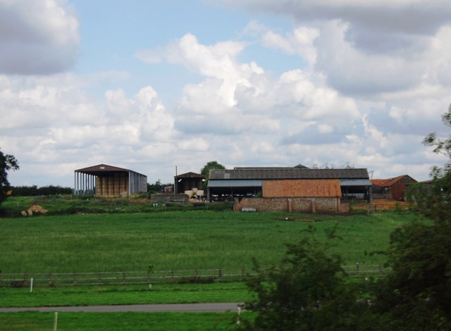
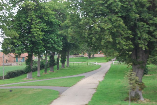
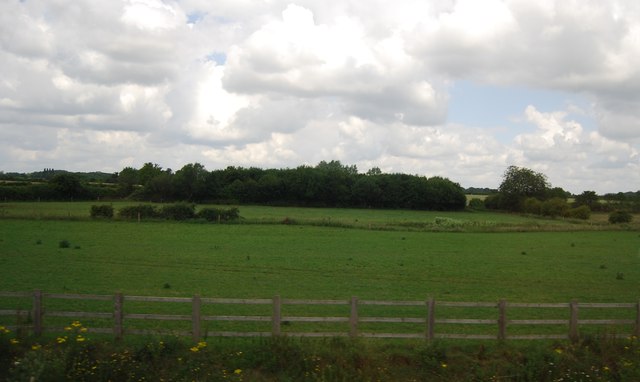
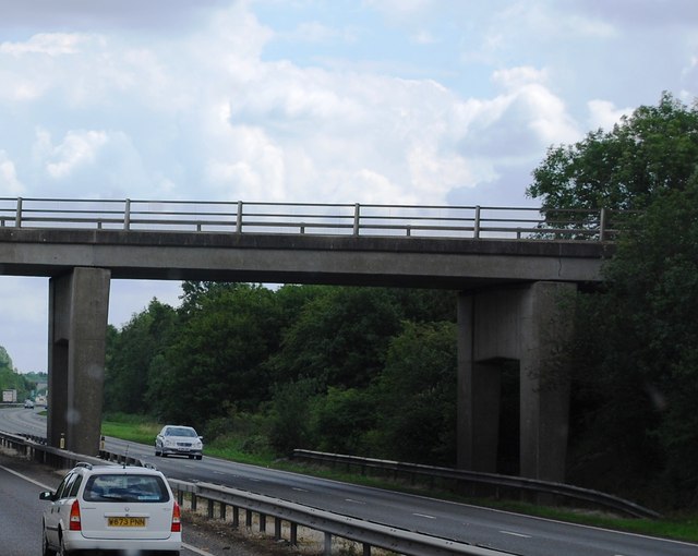
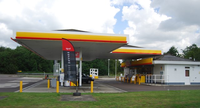
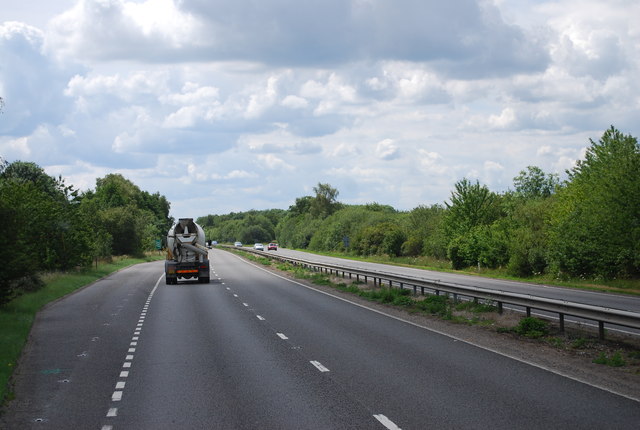
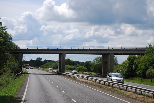
The surrounding countryside provides ample opportunities for outdoor activities, with Besthorpe Mill and Common being popular spots for walkers and nature enthusiasts. The village is also well-connected to nearby towns and cities, with regular bus services and easy access to major roads.

Besthorpe is a close-knit community that prides itself on its friendly atmosphere and strong community spirit. With its idyllic rural setting and historical charm, it offers a peaceful and serene living environment for its residents.

If you have any feedback on the listing, please let us know in the comments section below.
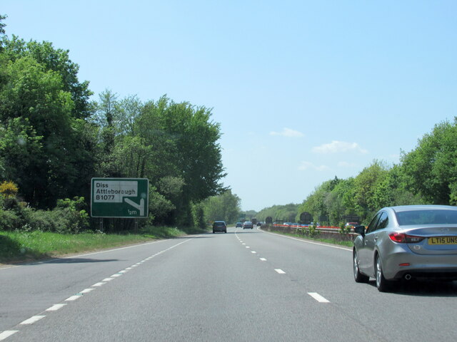
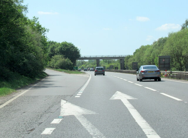
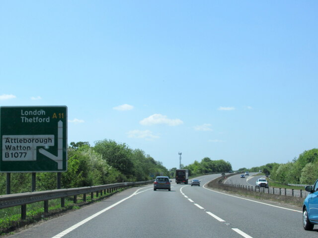
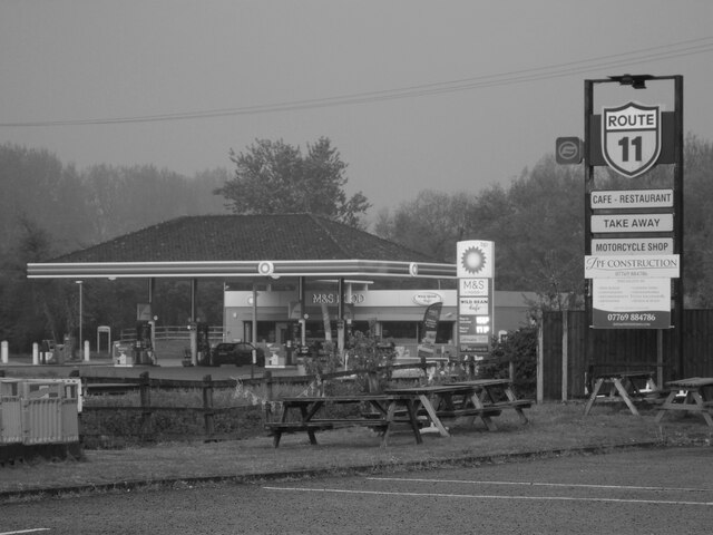
Besthorpe Images

Images are sourced within 2km of 52.52067/1.035071 or Grid Reference TM0695. Thanks to Geograph Open Source API. All images are credited.

Arriving at Attleborough Viewed on a journey between Thetford and Norwich on a dull summer day.
Arriving at Attleborough
Viewed on a journey between Thetford and Norwich on a dull summer day.
The A11 west at Diss B1077 half a mile sign
The A11 west exit for the B1077 Attleborough
The A11 west at slip road for B1077
Study of a Gasoline Station BP, Besthorpe.

 This photograph is part of a series taken in homage to the American artist Ed Ruscha's 1963 publication of 'Twentysix Gasoline Stations'.
 More properly known as filling stations in the UK, I am attempting to photograph as many as possible to mark the sixty year anniversary.
Study of a Gasoline Station
BP, Besthorpe. This photograph is part of a series taken in homage to the American artist Ed Ruscha's 1963 publication of 'Twentysix Gasoline Stations'. More properly known as filling stations in the UK, I am attempting to photograph as many as possible to mark the sixty year anniversary.
Attleborough: Marketing suite for the new White House Park development
Attleborough: Crop and two wind turbines
Study of a Gasoline Station Sainsbury's, Attleborough.

 This photograph is part of a series taken in homage to the American artist Ed Ruscha's 1963 publication of 'Twentysix Gasoline Stations'.
 More properly known as filling stations in the UK, I am attempting to photograph as many as possible to mark the sixty year anniversary.
Study of a Gasoline Station
Sainsbury's, Attleborough. This photograph is part of a series taken in homage to the American artist Ed Ruscha's 1963 publication of 'Twentysix Gasoline Stations'. More properly known as filling stations in the UK, I am attempting to photograph as many as possible to mark the sixty year anniversary.
Study of a Gasoline Station Esso, Attleborough.

 This photograph is part of a series taken in homage to the American artist Ed Ruscha's 1963 publication of 'Twentysix Gasoline Stations'.
 More properly known as filling stations in the UK, I am attempting to photograph as many as possible to mark the sixty year anniversary.
Study of a Gasoline Station
Esso, Attleborough. This photograph is part of a series taken in homage to the American artist Ed Ruscha's 1963 publication of 'Twentysix Gasoline Stations'. More properly known as filling stations in the UK, I am attempting to photograph as many as possible to mark the sixty year anniversary.
B1077, Attleborough The B1077 is a 57 mile long rural road from Ipswich to Swaffham.
It starts in Ipswich town centre and heads north. It crosses a railway line via a level crossing in Westerfield and then crosses the B1078 near Ashbocking. At Peats Corner it multiplexes west along the A1120 for a short distance before regaining its number and going through Debenham and Eye before crossing the River Waveney into Norfolk and reaching the A1066 on the edge of Diss.
The B1077 continued west from Caston into Watton and thence to Swaffham. During World War II, the road was diverted to Carbrooke Hall as the original road was severed by the building of RAF Watton. The Watton to Swaffham road was declassified in the 1990s.
B1077, Attleborough
The B1077 is a 57 mile long rural road from Ipswich to Swaffham. It starts in Ipswich town centre and heads north. It crosses a railway line via a level crossing in Westerfield and then crosses the B1078 near Ashbocking. At Peats Corner it multiplexes west along the A1120 for a short distance before regaining its number and going through Debenham and Eye before crossing the River Waveney into Norfolk and reaching the A1066 on the edge of Diss. The B1077 continued west from Caston into Watton and thence to Swaffham. During World War II, the road was diverted to Carbrooke Hall as the original road was severed by the building of RAF Watton. The Watton to Swaffham road was declassified in the 1990s.
Deopham Rd, Baconthorpe
Farm buildings, Attleborough Hall
Driveway to Attleborough Hall
Field by the A11
Field by the A11
Norwich Rd Bridge (B1077), A11 The A11 is a major road in Eastern England. It runs roughly north east for 111 miles from London to Norwich, With the M11 opening in the 1970s and then the A12 extension in 1999, a lengthy section has been downgraded between the suburbs of east London and the north-west corner of the county of Essex. It also overlaps with the A14 on the Newmarket bypass.
<span class="nowrap"><a title="http://www.sabre-roads.org.uk/wiki/index.php?title=A11" rel="nofollow ugc noopener" href="http://www.sabre-roads.org.uk/wiki/index.php?title=A11">Link</a><img style="margin-left:2px;" alt="External link" title="External link - shift click to open in new window" src="https://s1.geograph.org.uk/img/external.png" width="10" height="10"/></span>
Norwich Rd Bridge (B1077), A11
The A11 is a major road in Eastern England. It runs roughly north east for 111 miles from London to Norwich, With the M11 opening in the 1970s and then the A12 extension in 1999, a lengthy section has been downgraded between the suburbs of east London and the north-west corner of the county of Essex. It also overlaps with the A14 on the Newmarket bypass. LinkExternal link
Filling station by the A11 Part of a service area.
Filling station by the A11
Part of a service area.
Lay by, A11 The A11 is a major road in Eastern England. It runs roughly north east for 111 miles from London to Norwich, With the M11 opening in the 1970s and then the A12 extension in 1999, a lengthy section has been downgraded between the suburbs of east London and the north-west corner of the county of Essex. It also overlaps with the A14 on the Newmarket bypass.
<span class="nowrap"><a title="http://www.sabre-roads.org.uk/wiki/index.php?title=A11" rel="nofollow ugc noopener" href="http://www.sabre-roads.org.uk/wiki/index.php?title=A11">Link</a><img style="margin-left:2px;" alt="External link" title="External link - shift click to open in new window" src="https://s1.geograph.org.uk/img/external.png" width="10" height="10"/></span>
Lay by, A11
The A11 is a major road in Eastern England. It runs roughly north east for 111 miles from London to Norwich, With the M11 opening in the 1970s and then the A12 extension in 1999, a lengthy section has been downgraded between the suburbs of east London and the north-west corner of the county of Essex. It also overlaps with the A14 on the Newmarket bypass. LinkExternal link
Overbridge at Besthorne The A11 is a major road in Eastern England. It runs roughly north east for 111 miles from London to Norwich, With the M11 opening in the 1970s and then the A12 extension in 1999, a lengthy section has been downgraded between the suburbs of east London and the north-west corner of the county of Essex. It also overlaps with the A14 on the Newmarket bypass.
<span class="nowrap"><a title="http://www.sabre-roads.org.uk/wiki/index.php?title=A11" rel="nofollow ugc noopener" href="http://www.sabre-roads.org.uk/wiki/index.php?title=A11">Link</a><img style="margin-left:2px;" alt="External link" title="External link - shift click to open in new window" src="https://s1.geograph.org.uk/img/external.png" width="10" height="10"/></span>
Overbridge at Besthorne
The A11 is a major road in Eastern England. It runs roughly north east for 111 miles from London to Norwich, With the M11 opening in the 1970s and then the A12 extension in 1999, a lengthy section has been downgraded between the suburbs of east London and the north-west corner of the county of Essex. It also overlaps with the A14 on the Newmarket bypass. LinkExternal link
Show me another place!

Besthorpe is located at Grid Ref: TM0695 (Lat: 52.52067, Lng: 1.035071)

Administrative County: Norfolk

District: Breckland

Police Authority: Norfolk

What 3 Words

///reclining.permit.issuer. Near Attleborough, Norfolk

Nearby Locations

Besthorpe

Related Wikis

Nearby Amenities

Located within 500m of 52.52067,1.035071
Traffic Calming: hump
Lat/Long: 52.5199401/1.0311463
Traffic Calming: hump
Lat/Long: 52.520015/1.0325251
Mini Roundabout
Direction: clockwise
Lat/Long: 52.5200012/1.0329978
Turning Circle
Source: Bing
Lat/Long: 52.5184667/1.0330257
Mini Roundabout
Direction: clockwise
Lat/Long: 52.519784/1.0299744
Crossing Barrier: half
Railway: level_crossing
Lat/Long: 52.5193176/1.033596
Crossing Safety: signal; barrier
Lat/Long: 52.5193006/1.0336255
Crossing Safety: signal; barrier
Lat/Long: 52.5193945/1.0335314
Post Box
Collection Times: Mo-Fr 16:25; Sa 10:30
Post Box Design: type_k
Post Box Type: pillar
Ref: NR17 1740
Royal Cypher: EIIR
Royal Cypher Wikidata: Q33102113
Lat/Long: 52.5216053/1.0347067
Waste Basket
Waste: dog_excrement
Lat/Long: 52.5223869/1.0396832
Crossing
Crossing: unmarked
Lat/Long: 52.5218149/1.0345665
Crossing Barrier: half
Railway: level_crossing
Lat/Long: 52.5193495/1.0335689
Source: Bing;observation
Traffic Calming: hump
Lat/Long: 52.5194197/1.0288426
Power: pole
Source: Bing
Lat/Long: 52.5194331/1.0409812
Power: pole
Lat/Long: 52.5185028/1.0366629
Power: pole
Source: Bing
Lat/Long: 52.5181503/1.0353969
Power: pole
Source: Bing
Lat/Long: 52.5177357/1.0339646
Power: pole
Source: Bing
Lat/Long: 52.5188501/1.0379525
Power: pole
Source: Bing
Lat/Long: 52.5173781/1.0326049
Power: pole
Lat/Long: 52.5169439/1.0309902
Power: pole
Lat/Long: 52.5162339/1.0351878
Power: pole
Lat/Long: 52.5167383/1.0365987
Power: pole
Lat/Long: 52.5171675/1.038157
Power: pole
Lat/Long: 52.5179069/1.0408419
Power: pole
Lat/Long: 52.5175707/1.0397476
Generator Method: photovoltaic
Generator Output Electricity: yes
Generator Source: solar
Generator Type: solar_photovoltaic_panel
Location: roof
Power: generator
Lat/Long: 52.5233286/1.0339004
Generator Method: photovoltaic
Generator Output Electricity: yes
Generator Source: solar
Generator Type: solar_photovoltaic_panel
Location: roof
Power: generator
Lat/Long: 52.523074/1.0335866
Generator Method: photovoltaic
Generator Output Electricity: yes
Generator Source: solar
Generator Type: solar_photovoltaic_panel
Location: roof
Power: generator
Lat/Long: 52.5222107/1.0290778
Generator Method: photovoltaic
Generator Output Electricity: yes
Generator Source: solar
Generator Type: solar_photovoltaic_panel
Location: roof
Power: generator
Lat/Long: 52.5215236/1.0293648
Generator Method: photovoltaic
Generator Output Electricity: yes
Generator Source: solar
Generator Type: solar_photovoltaic_panel
Location: roof
Power: generator
Lat/Long: 52.5186398/1.0291421
Generator Method: photovoltaic
Generator Output Electricity: yes
Generator Source: solar
Generator Type: solar_photovoltaic_panel
Location: roof
Power: generator
Lat/Long: 52.5189303/1.0299414
Generator Method: photovoltaic
Generator Output Electricity: yes
Generator Source: solar
Generator Type: solar_photovoltaic_panel
Location: roof
Power: generator
Lat/Long: 52.5202768/1.0335115
Generator Method: photovoltaic
Generator Output Electricity: yes
Generator Source: solar
Generator Type: solar_photovoltaic_panel
Location: roof
Power: generator
Lat/Long: 52.5215759/1.0315374
Generator Method: photovoltaic
Generator Output Electricity: yes
Generator Source: solar
Generator Type: solar_photovoltaic_panel
Location: roof
Power: generator
Lat/Long: 52.5214453/1.032452
Generator Method: photovoltaic
Generator Output Electricity: yes
Generator Source: solar
Generator Type: solar_photovoltaic_panel
Location: roof
Power: generator
Lat/Long: 52.5209981/1.034697
Generator Method: photovoltaic
Generator Output Electricity: yes
Generator Source: solar
Generator Type: solar_photovoltaic_panel
Location: roof
Power: generator
Lat/Long: 52.5210047/1.0347506
Generator Method: photovoltaic
Generator Output Electricity: yes
Generator Source: solar
Generator Type: solar_photovoltaic_panel
Location: roof
Power: generator
Lat/Long: 52.5214241/1.0328087
Generator Method: photovoltaic
Generator Output Electricity: yes
Generator Source: solar
Generator Type: solar_photovoltaic_panel
Location: roof
Power: generator
Lat/Long: 52.521194/1.033431
Generator Method: photovoltaic
Generator Output Electricity: yes
Generator Source: solar
Generator Type: solar_photovoltaic_panel
Location: roof
Power: generator
Lat/Long: 52.5216868/1.034461
Generator Method: photovoltaic
Generator Output Electricity: yes
Generator Source: solar
Generator Type: solar_photovoltaic_panel
Location: roof
Power: generator
Lat/Long: 52.5223396/1.03338
Generator Method: photovoltaic
Generator Output Electricity: yes
Generator Source: solar
Generator Type: solar_photovoltaic_panel
Location: roof
Power: generator
Lat/Long: 52.522307/1.0339245
Generator Method: photovoltaic
Generator Output Electricity: yes
Generator Source: solar
Generator Type: solar_photovoltaic_panel
Location: roof
Power: generator
Lat/Long: 52.5214747/1.0367596
Generator Method: photovoltaic
Generator Output Electricity: yes
Generator Source: solar
Generator Type: solar_photovoltaic_panel
Location: roof
Power: generator
Lat/Long: 52.5214551/1.0366966
Generator Method: photovoltaic
Generator Output Electricity: yes
Generator Source: solar
Generator Type: solar_photovoltaic_panel
Location: roof
Power: generator
Lat/Long: 52.5214322/1.0366295
Generator Method: photovoltaic
Generator Output Electricity: yes
Generator Source: solar
Generator Type: solar_photovoltaic_panel
Location: roof
Power: generator
Lat/Long: 52.5203681/1.0352844
Power: pole
Lat/Long: 52.5191996/1.0392192
Crossing
Crossing: unmarked
Lat/Long: 52.5216066/1.0334846
Crossing
Crossing: unmarked
Lat/Long: 52.5217921/1.0316752
Give Way
Lat/Long: 52.5218217/1.0347237
Give Way
Lat/Long: 52.5217786/1.033881
Give Way
Lat/Long: 52.5216424/1.0334652
Give Way
Lat/Long: 52.5231401/1.0325432
Give Way
Lat/Long: 52.5207431/1.0350256
Give Way
Lat/Long: 52.519783/1.0299025
The data included in this document is from www.openstreetmap.org. The data is made available under ODbL.

Have you been to Besthorpe?

Leave your review of Besthorpe below (or comments, questions and feedback).