Newland Common
Settlement in Worcestershire Wychavon
England
Newland Common
Newland Common is a small village located in Worcestershire, England. Situated in the heart of the county, it lies approximately 4 miles to the northwest of the city of Worcester. The village is surrounded by beautiful countryside, offering residents and visitors a peaceful and idyllic setting.
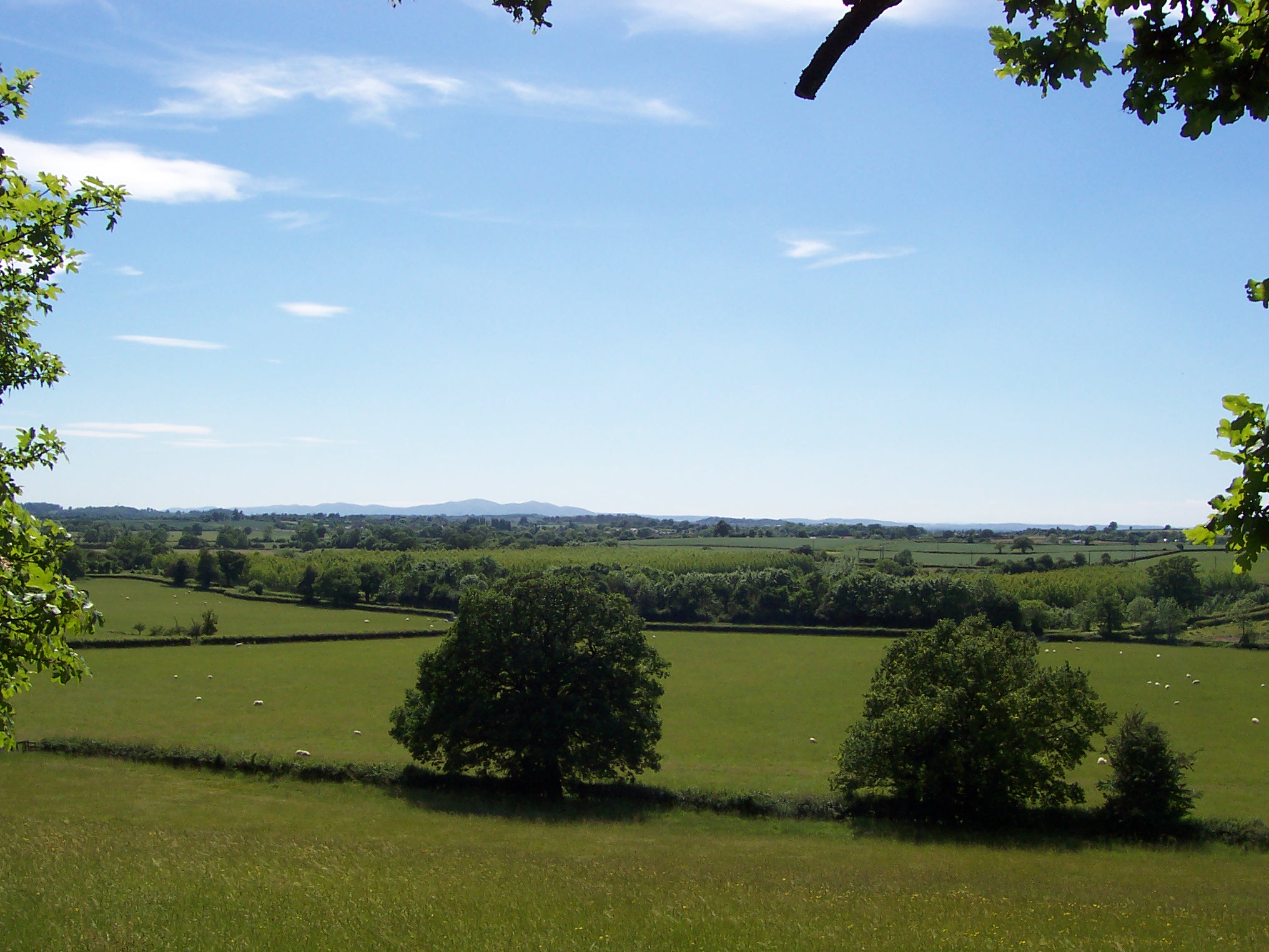
The common itself is a large open space, characterized by lush green fields and scattered trees. It serves as a popular recreational area for locals, providing ample space for various outdoor activities such as picnics, dog walking, and sports. The common is well-maintained and features footpaths that crisscross through the fields, allowing visitors to explore the area and enjoy the natural beauty it has to offer.
In addition to its natural charm, Newland Common is also home to a small community of residents. The village has a close-knit feel, with a sense of community spirit evident in local events and gatherings. While there are no major amenities within the village itself, the nearby city of Worcester offers a range of services including schools, shops, and healthcare facilities.
Newland Common benefits from its convenient location, with easy access to major road networks such as the A38 and M5 motorway. This makes it a desirable place to live for those seeking a peaceful rural lifestyle while still being within reach of urban amenities and employment opportunities.
Overall, Newland Common is a picturesque village in Worcestershire, offering a tranquil escape from the hustle and bustle of city life while providing a strong sense of community and access to nearby amenities.
If you have any feedback on the listing, please let us know in the comments section below.
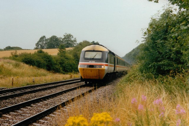
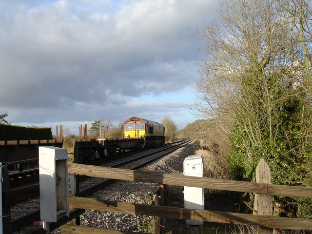
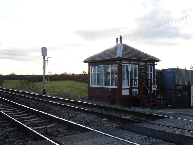
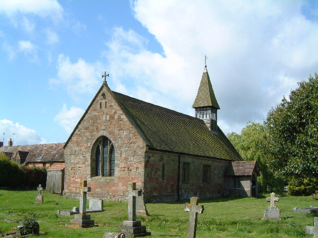
Newland Common Images
Images are sourced within 2km of 52.24077/-2.140561 or Grid Reference SO9060. Thanks to Geograph Open Source API. All images are credited.


Newland Common is located at Grid Ref: SO9060 (Lat: 52.24077, Lng: -2.140561)
Administrative County: Worcestershire
District: Wychavon
Police Authority: West Mercia
What 3 Words
///cobbled.without.crumples. Near Droitwich, Worcestershire
Nearby Locations
Related Wikis

Oddingley
Oddingley is a village and civil parish in the English county of Worcestershire, approximately 9 km (5.6 mi) north-east of the county town of Worcester...

Dunhampstead
Dunhampstead is a small village in the English county of Worcestershire. It is located about 6 miles to the north-east of Worcester and around half a...
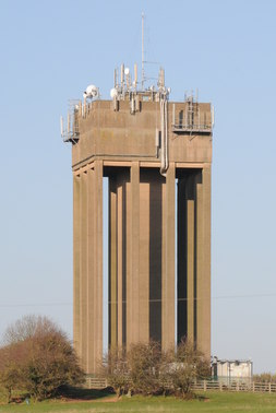
Droitwich Water Tower
The Droitwich Water Tower, also known as Yew Tree Hill Water Tower, is a structure on Yew Tree Hill in Droitwich, England, owned and operated by Severn...

Hadzor
Hadzor is a small village near Droitwich, Worcestershire, England. There are around fourteen houses and a Roman Catholic church in the village, although...
Martin Hussingtree
Martin Hussingtree is a small village situated between Droitwich Spa and Worcester in the county of Worcestershire, England. It is north of another village...

Church of the Sacred Heart and St Catherine of Alexandria
The Church of the Sacred Heart and St Catherine of Alexandria is a Catholic church situated in Droitwich Spa, Worcestershire, England, noted for its remarkable...
Trench Wood
Trench Wood is a woodland area part managed by the Worcestershire Wildlife Trust and Butterfly Conservation. It is located around 6 miles (9.7 km) miles...
Dunhampstead railway station
Dunhampstead railway station served the village of Dunhampstead, Worcestershire, England, from 1841 to 1855 on the Birmingham and Gloucester Railway....
Nearby Amenities
Located within 500m of 52.24077,-2.140561Have you been to Newland Common?
Leave your review of Newland Common below (or comments, questions and feedback).