Newland Common
Downs, Moorland in Worcestershire Wychavon
England
Newland Common
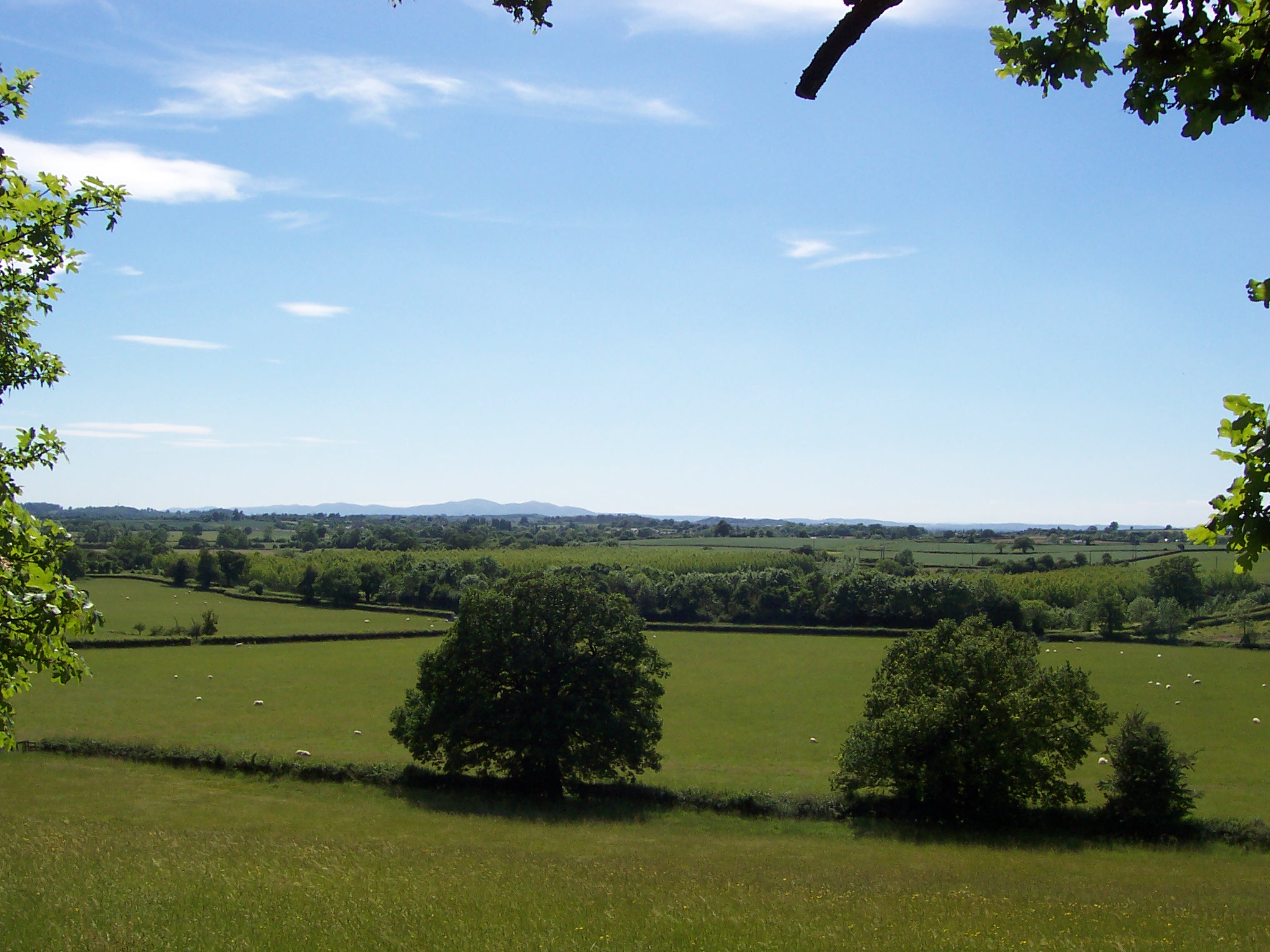
Newland Common is a picturesque area located in Worcestershire, England. Situated on the outskirts of the town of Malvern, it is known for its stunning natural beauty and diverse landscape. Covering an area of approximately 400 acres, Newland Common encompasses a variety of terrains, including downs and moorland.
The downs in Newland Common are characterized by rolling hills and expansive grasslands, offering breathtaking panoramic views of the surrounding countryside. These areas are often frequented by hikers, nature enthusiasts, and birdwatchers who are drawn to the tranquility and abundance of wildlife.
In contrast, the moorland sections of Newland Common feature a more rugged terrain, with rocky outcrops and heather-covered hills. This unique landscape provides a habitat for a wide range of plant and animal species, making it a haven for biodiversity.
The common is well-maintained, with designated walking and cycling trails that allow visitors to explore the area at their own pace. Additionally, there are several picnic spots and benches strategically placed throughout the common, providing opportunities for visitors to relax and enjoy the peaceful surroundings.
Newland Common is not only a haven for nature enthusiasts but also serves as an important recreational area for local residents. It offers a peaceful retreat from the hustle and bustle of everyday life, providing a space for people to unwind and connect with nature. Whether it's a leisurely stroll, a challenging hike, or a family picnic, Newland Common has something to offer for everyone.
If you have any feedback on the listing, please let us know in the comments section below.
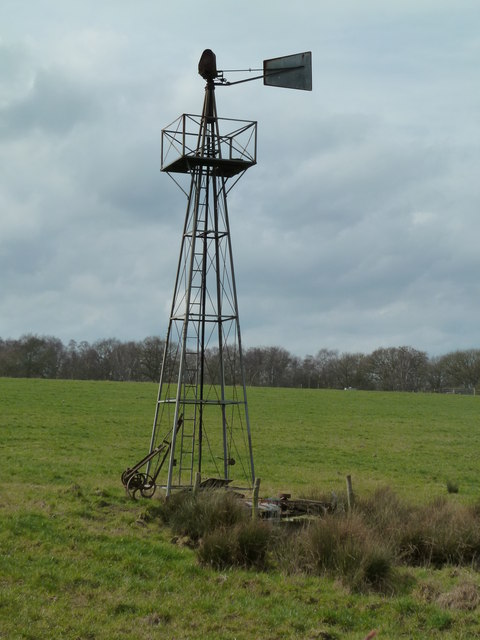
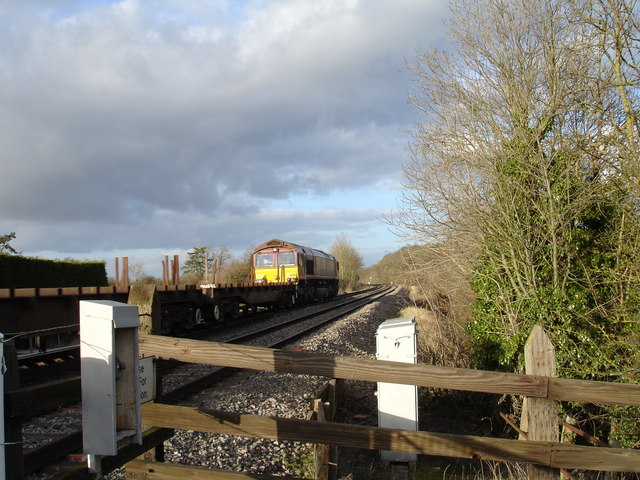
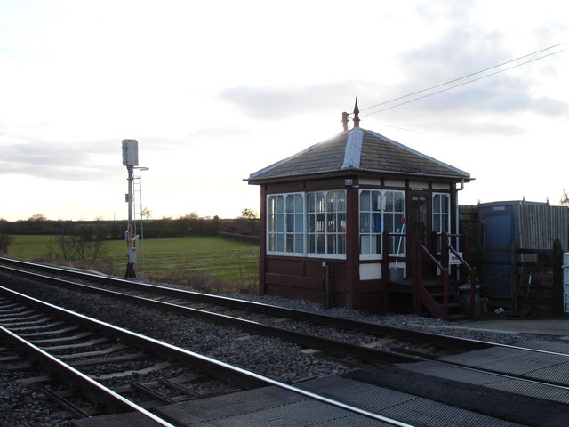
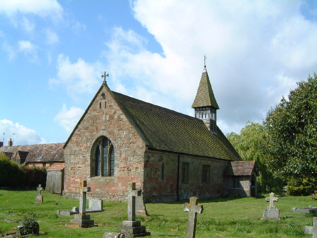
Newland Common Images
Images are sourced within 2km of 52.240392/-2.1389183 or Grid Reference SO9060. Thanks to Geograph Open Source API. All images are credited.


Newland Common is located at Grid Ref: SO9060 (Lat: 52.240392, Lng: -2.1389183)
Administrative County: Worcestershire
District: Wychavon
Police Authority: West Mercia
What 3 Words
///lighten.gathering.opens. Near Droitwich, Worcestershire
Nearby Locations
Related Wikis

Oddingley
Oddingley is a village and civil parish in the English county of Worcestershire, approximately 9 km (5.6 mi) north-east of the county town of Worcester...

Dunhampstead
Dunhampstead is a small village in the English county of Worcestershire. It is located about 6 miles to the north-east of Worcester and around half a...
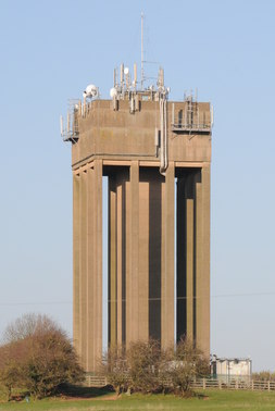
Droitwich Water Tower
The Droitwich Water Tower, also known as Yew Tree Hill Water Tower, is a structure on Yew Tree Hill in Droitwich, England, owned and operated by Severn...

Hadzor
Hadzor is a small village near Droitwich, Worcestershire, England. There are around fourteen houses and a Roman Catholic church in the village, although...

Church of the Sacred Heart and St Catherine of Alexandria
The Church of the Sacred Heart and St Catherine of Alexandria is a Catholic church situated in Droitwich Spa, Worcestershire, England, noted for its remarkable...
Martin Hussingtree
Martin Hussingtree is a small village situated between Droitwich Spa and Worcester in the county of Worcestershire, England. It is north of another village...
Trench Wood
Trench Wood is a woodland area part managed by the Worcestershire Wildlife Trust and Butterfly Conservation. It is located around 6 miles (9.7 km) miles...
Dunhampstead railway station
Dunhampstead railway station served the village of Dunhampstead, Worcestershire, England, from 1841 to 1855 on the Birmingham and Gloucester Railway....
Nearby Amenities
Located within 500m of 52.240392,-2.1389183Have you been to Newland Common?
Leave your review of Newland Common below (or comments, questions and feedback).