Newbridge

Settlement in Cardiganshire

Wales

Newbridge

Bungalows at Ciliau Aeron
Bungalows at Ciliau Aeron Credit: Eirian Evans

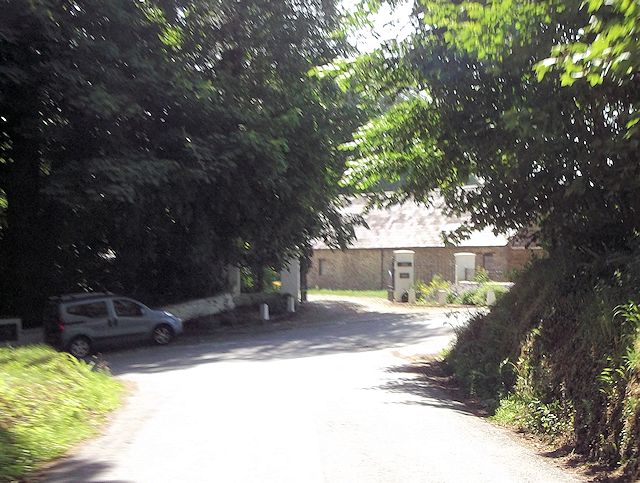
Newbridge is a small village located in the county of Cardiganshire, Wales. Situated on the banks of the River Teifi, it is a picturesque and idyllic village surrounded by rolling green hills and stunning natural beauty. The village is approximately 7 miles east of Cardigan, the county town.

Newbridge is home to a close-knit community, with a population of around 500 residents. The village is known for its tranquility and peaceful atmosphere, making it an attractive destination for those seeking a quiet and rural lifestyle. The tight-knit community fosters a strong sense of community spirit, with locals often organizing events and activities to bring residents together.

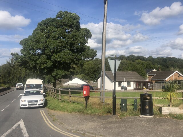
The village is well-served by a range of amenities, including a post office, a grocery store, a primary school, and a few local businesses. There is also a village hall that serves as the hub for various community gatherings and events. The surrounding countryside offers ample opportunities for outdoor activities such as hiking, fishing, and birdwatching.

Newbridge is steeped in history and has several notable landmarks. One such landmark is the Newbridge Inn, a traditional Welsh pub that dates back to the 18th century and has retained much of its original character. The village is also home to a historic church, St. Mary's, which is believed to have been built in the 13th century.

Overall, Newbridge is a charming village that offers a peaceful and scenic setting for its residents. Its rich history, strong community spirit, and stunning natural surroundings make it a truly special place to call home.

If you have any feedback on the listing, please let us know in the comments section below.
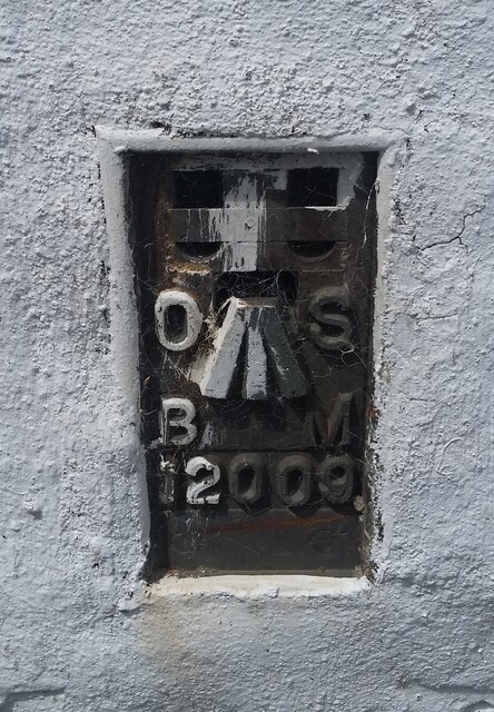
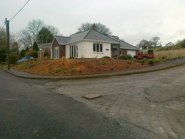
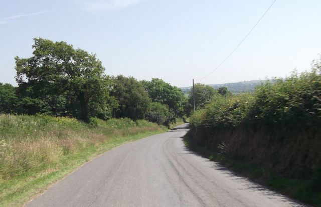
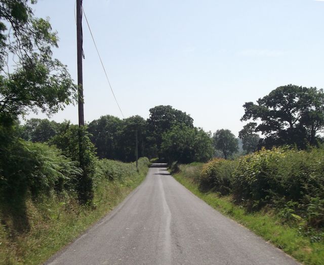
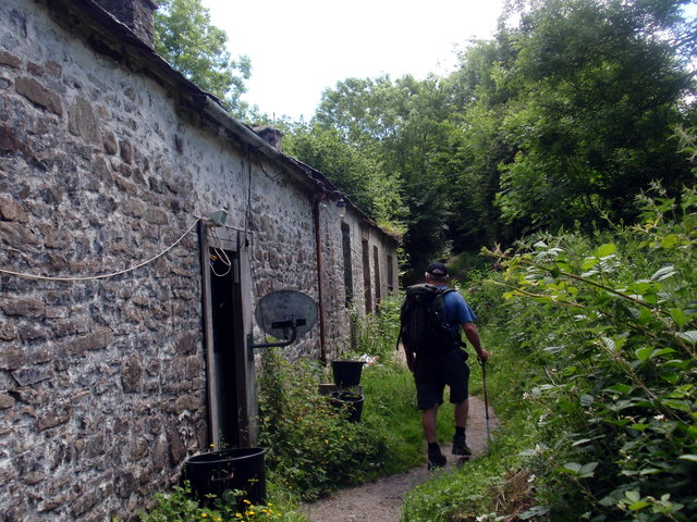
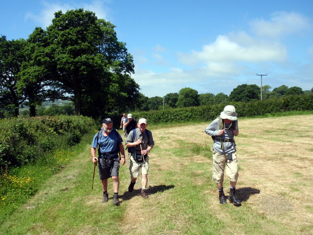
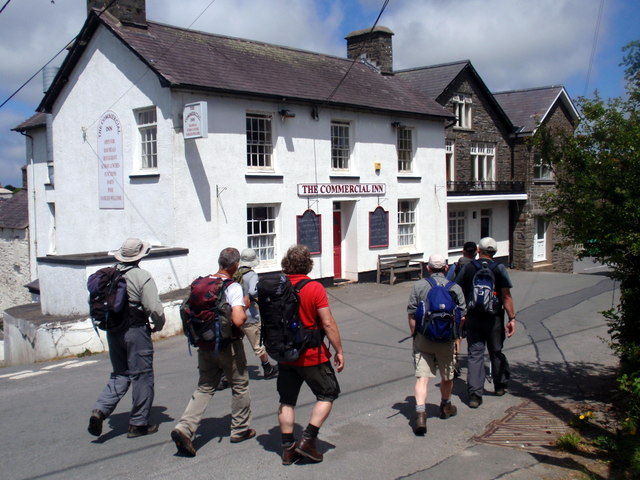
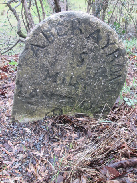
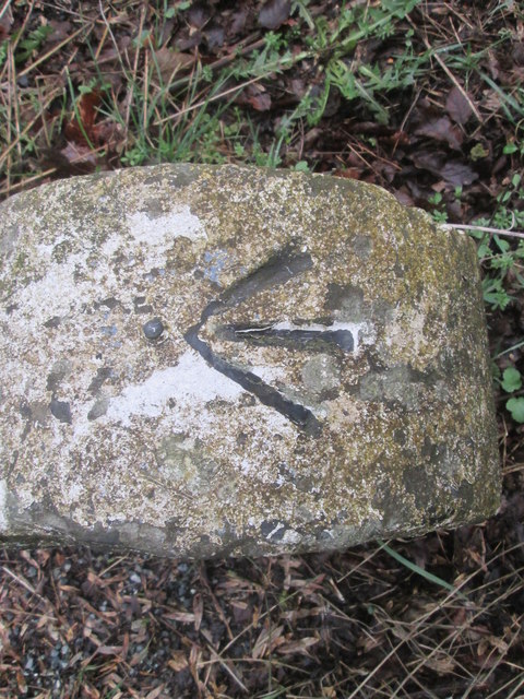
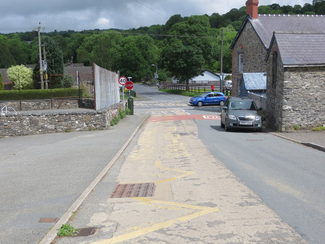
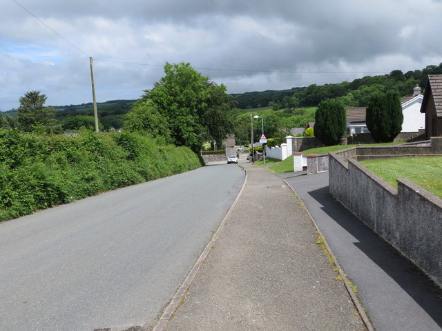
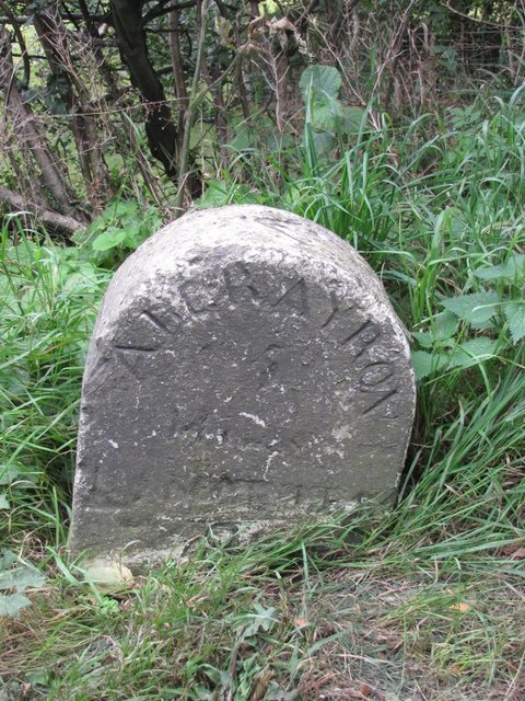
Newbridge Images

Images are sourced within 2km of 52.210269/-4.185847 or Grid Reference SN5059. Thanks to Geograph Open Source API. All images are credited.

Bungalows at Ciliau Aeron
Minor road heading for Ciliau Aeron A narrow road with high hedge banks.
Minor road heading for Ciliau Aeron
A narrow road with high hedge banks.
Bend on minor road A right-angled band as the road prepares to descend to the valley beyond.
Bend on minor road
A right-angled band as the road prepares to descend to the valley beyond.
Approaching junction at Ty Glyn
Ordnance Survey Flush Bracket 12009 This can be found on the wall of a building at Parc-neuadd.
For more detail see : <span class="nowrap"><a title="http://www.bench-marks.org.uk/bm22716" rel="nofollow ugc noopener" href="http://www.bench-marks.org.uk/bm22716">Link</a><img style="margin-left:2px;" alt="External link" title="External link - shift click to open in new window" src="https://s1.geograph.org.uk/img/external.png" width="10" height="10"/></span>
Ordnance Survey Flush Bracket 12009
This can be found on the wall of a building at Parc-neuadd. For more detail see : LinkExternal link
Old Milestone by the A482, Ciliau Aeron parish Aberayron tombstone by the A482, in parish of Ciliau Aeron (Ceredigion District), Ciliau Aeron, 200m Northwest of crossroads against wall, South side of road.
Inscription reads:-
ABERAYRON
4
MILES
LAMPETER
9

Surveyed

Milestone Society National ID: CRD_AALP04
Old Milestone by the A482, Ciliau Aeron parish
Aberayron tombstone by the A482, in parish of Ciliau Aeron (Ceredigion District), Ciliau Aeron, 200m Northwest of crossroads against wall, South side of road. Inscription reads:- ABERAYRON 4 MILES LAMPETER 9 Surveyed Milestone Society National ID: CRD_AALP04
Ordnance Survey Flush Bracket (12009) This OS Flush Bracket can be found on the barn at Parc Neuadd NW side of the road. It marks a point 73.771m above mean sea level.
Ordnance Survey Flush Bracket (12009)
This OS Flush Bracket can be found on the barn at Parc Neuadd NW side of the road. It marks a point 73.771m above mean sea level.
New Bungalow, Cilcennin
Minor road from Pennant North of Tynffynnon
Minor road from Pennant
North of Tynffynnon
Straight road just south of Coed
Drefach Cerddwyr yn dilyn llwybr cyhoeddus heibio i anhedd-dy o'r enw Drefach.

Walkers following a public footpath past a property known as Drefach (trans. small homestead).
Drefach
Cerddwyr yn dilyn llwybr cyhoeddus heibio i anhedd-dy o'r enw Drefach. Walkers following a public footpath past a property known as Drefach (trans. small homestead).
Llwybr Quarry Cottage Footpath Cerddwyr yn dilyn llwybr cyhoeddus i gyfeiriad Quarry Cottage.

Walkers following a public footpath in the direction of Quarry Cottage.
Llwybr Quarry Cottage Footpath
Cerddwyr yn dilyn llwybr cyhoeddus i gyfeiriad Quarry Cottage. Walkers following a public footpath in the direction of Quarry Cottage.
Tafarn Commercial Inn, Cilcennin. Cerddwyr yn mynd heibio i Dafarn y Commercial ym mhentre Cilcennin.

Walkers passing the Commercial Inn in Cilcennin Village (trans. nook of leeks).
Tafarn Commercial Inn, Cilcennin.
Cerddwyr yn mynd heibio i Dafarn y Commercial ym mhentre Cilcennin. Walkers passing the Commercial Inn in Cilcennin Village (trans. nook of leeks).
Milestone - Aberayron 5 There is an OS rivet on the top of the milestone. <a title="https://www.geograph.org.uk/photo/4890310" href="https://www.geograph.org.uk/photo/4890310">Link</a>
Milestone - Aberayron 5
There is an OS rivet on the top of the milestone. Link
Ordnance Survey Rivet This OS rivet can be found on the milestone. It marks a point 71.232m above mean sea level. <a title="https://www.geograph.org.uk/photo/4890306" href="https://www.geograph.org.uk/photo/4890306">Link</a>
Ordnance Survey Rivet
This OS rivet can be found on the milestone. It marks a point 71.232m above mean sea level. Link
Junction of roads at Ciliau Aeron - B4339 joining A482 Looking north-eastward.
Junction of roads at Ciliau Aeron - B4339 joining A482
Looking north-eastward.
Road (B4339) at Ciliau Aeron Looking north-eastward.
Road (B4339) at Ciliau Aeron
Looking north-eastward.
Old Milestone by the A482, Ciliau Aeron parish Aberayron tombstone by the A482, in parish of Ciliau Aeron (Ceredigion District), Ciliau Aeron, near Tan-yr-allt, East side of road.

Inscription reads:-
ABERAYRON
5
MILES
LAMPETER
8
Carved bench mark and rivet on top.

Grade II listed by Cadw.
Reference Number: 17524 <span class="nowrap"><a title="https://cadwpublic-api.azurewebsites.net/reports/listedbuilding/FullReport?lang=&id=17524" rel="nofollow ugc noopener" href="https://cadwpublic-api.azurewebsites.net/reports/listedbuilding/FullReport?lang=&id=17524">Link</a><img style="margin-left:2px;" alt="External link" title="External link - shift click to open in new window" src="https://s1.geograph.org.uk/img/external.png" width="10" height="10"/></span>

Surveyed

Milestone Society National ID: CRD_AALP05
Old Milestone by the A482, Ciliau Aeron parish
Aberayron tombstone by the A482, in parish of Ciliau Aeron (Ceredigion District), Ciliau Aeron, near Tan-yr-allt, East side of road. Inscription reads:- ABERAYRON 5 MILES LAMPETER 8 Carved bench mark and rivet on top. Grade II listed by Cadw. Reference Number: 17524 LinkExternal link Surveyed Milestone Society National ID: CRD_AALP05
Show me another place!

Newbridge is located at Grid Ref: SN5059 (Lat: 52.210269, Lng: -4.185847)

Unitary Authority: Ceredigion

Police Authority: Dyfed Powys

What 3 Words

///survived.refrained.ranks. Near Aberaeron, Ceredigion

Related Wikis

Newbridge, Ceredigion

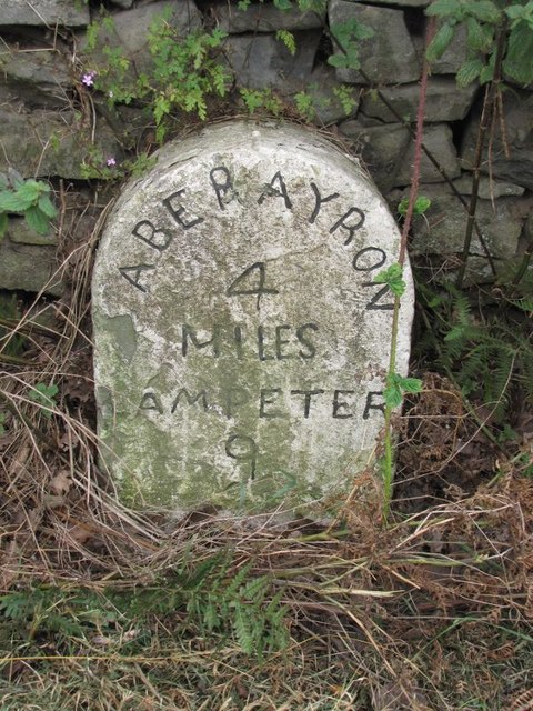
Newbridge is a small village in the community of Ciliau Aeron, Ceredigion, Wales. Newbridge is on the A482 road between Aberaeron and Lampeter. It is represented...

Ciliau-Aeron Halt railway station

Ciliau-Aeron Halt was a small railway station on the Aberayron branch of the Carmarthen to Aberystwyth Line in the Welsh county of Ceredigion serving the...

Ciliau Aeron

Ciliau Aeron (English: where the valley of the river Aeron narrows) is a community and small village 4 miles from Aberaeron in Ceredigion, Wales on the...

Tŷ Glyn

Tŷ Glyn or Tyglyn is a small village in the community of Ciliau Aeron, Ceredigion, Wales, which is 67.1 miles (107.9 km) from Cardiff and 180.5 miles...

Foelallt

Foelallt is a small village in the community of Ciliau Aeron, Ceredigion, Wales, which is 66.2 miles (106.6 km) from Cardiff and 180.2 miles (290 km)...
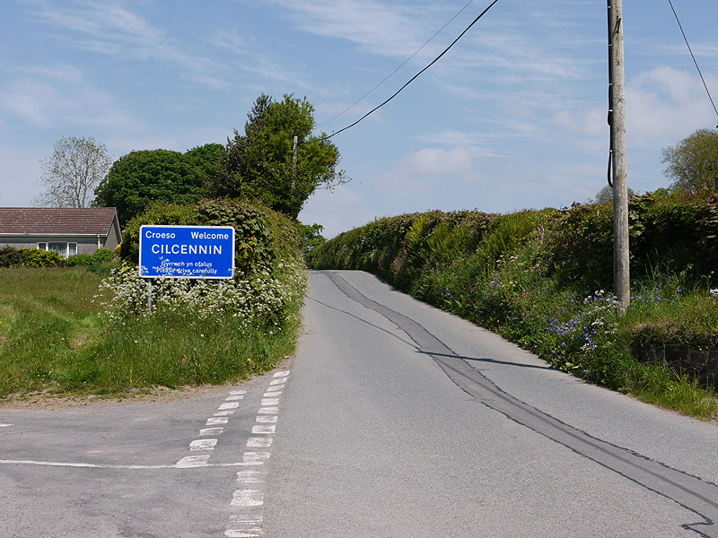
Cilcennin

Cilcennin is a village in the community of Ciliau Aeron, Ceredigion, west Wales. The River Aeron is to the southwest. == History == Cilcennin is the site...

Crossways Halt railway station

Crossways Halt was a small railway station on the Aberayron branch of the Carmarthen to Aberystwyth Line in the Welsh county of Ceredigion serving the...

Ffoshelyg

Ffoshelyg is a hamlet in Ceredigion, Wales. The estate at Ffoshelyg was once owned by Hugh Lloyd (fl. 1608). As of 2016 it is dominated by a family-run...

Nearby Amenities

Located within 500m of 52.210269,-4.185847
Newbridge
Is In: Ceredigion, Wales, UK
Place: hamlet
Source: npe
Wikidata: Q15989244
Wikipedia: en:Newbridge, Ceredigion
Lat/Long: 52.2106455/-4.185461
Source: npe
Lat/Long: 52.2101347/-4.1920574
Source: npe
Lat/Long: 52.2097429/-4.1891201
Source: npe
Lat/Long: 52.2097606/-4.1863589
Source: npe
Lat/Long: 52.208937/-4.1843556
Source: npe
Lat/Long: 52.2085715/-4.1828452
Source: npe
Lat/Long: 52.2080296/-4.1828392
Source: npe
Lat/Long: 52.2075683/-4.181012
Leisure: fishing
Lat/Long: 52.2086829/-4.1837278
The data included in this document is from www.openstreetmap.org. The data is made available under ODbL.

Have you been to Newbridge?

Leave your review of Newbridge below (or comments, questions and feedback).