New Village
Settlement in Yorkshire
England
New Village

New Village is a picturesque hamlet located in the county of Yorkshire, England. Nestled amidst rolling green hills and vast stretches of farmland, this tranquil village is a haven of peace and serenity. Situated about 10 miles from the bustling market town of York, New Village is a popular destination for those seeking a peaceful retreat away from the hustle and bustle of city life.
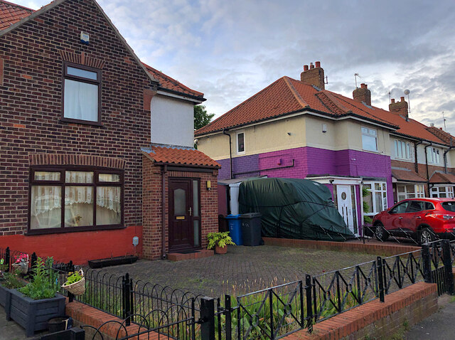
The village itself is characterized by its quaint cottages, built from traditional Yorkshire stone, which line the narrow, winding streets. The local community is tight-knit and friendly, with a strong sense of pride in their village. The village green is the heart of New Village, where residents and visitors can often be found enjoying picnics or playing a game of cricket on sunny days.
New Village boasts a rich history, with evidence of settlements dating back to the Roman period. The nearby ruins of an ancient Roman villa attract history enthusiasts from far and wide. Additionally, the village church, St. Mary's, is a stunning example of medieval architecture and serves as a focal point for the community.
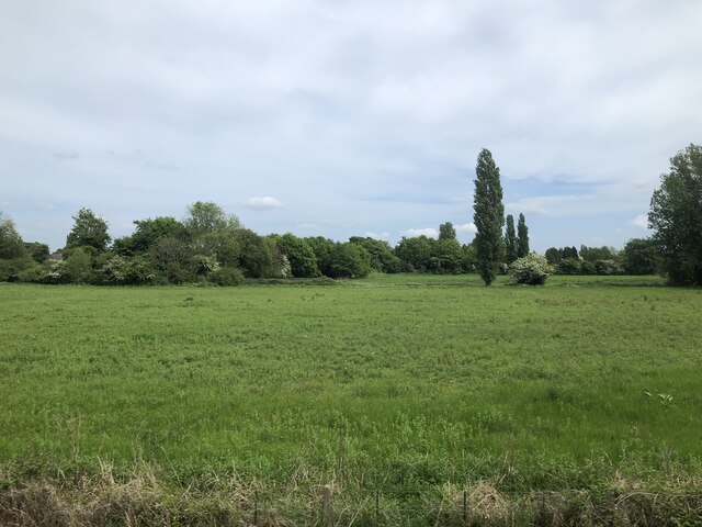
Surrounded by stunning countryside, New Village offers a plethora of outdoor activities. Walking and cycling trails weave through the countryside, providing breathtaking views and opportunities to explore the natural beauty of the area. The nearby River Ouse also offers fishing and boating opportunities for those who enjoy water-based activities.
In terms of amenities, New Village is well-served by a range of local shops, including a village store, post office, and a charming tea room. For those seeking a wider range of amenities, the nearby town of York provides ample shopping, dining, and entertainment options.
Overall, New Village is a charming and idyllic destination, combining natural beauty, a rich history, and a strong sense of community.
If you have any feedback on the listing, please let us know in the comments section below.
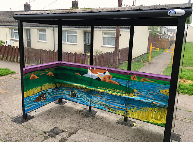
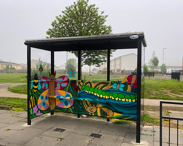
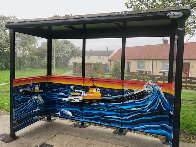
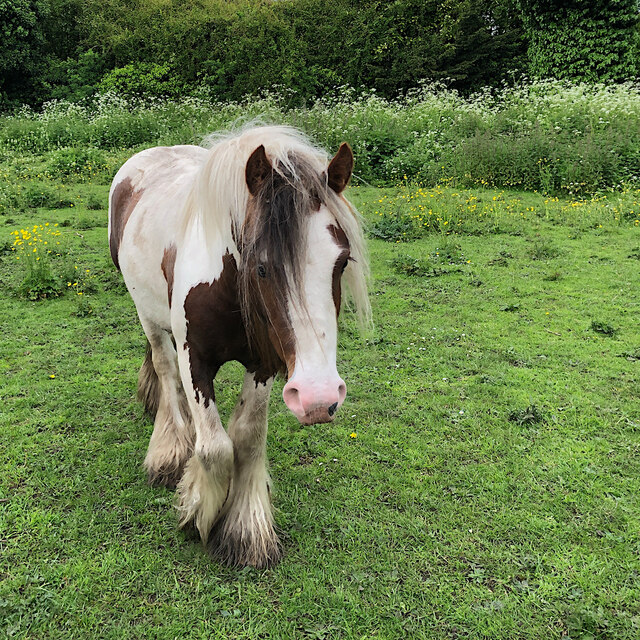
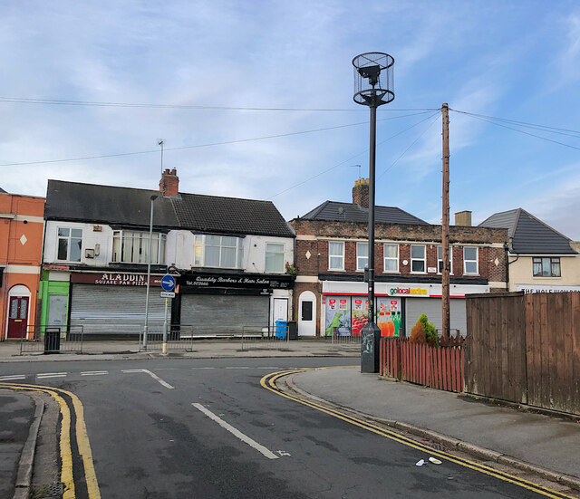
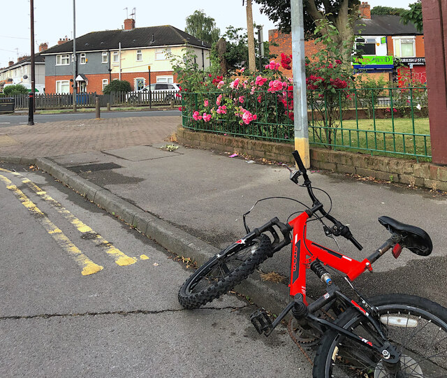
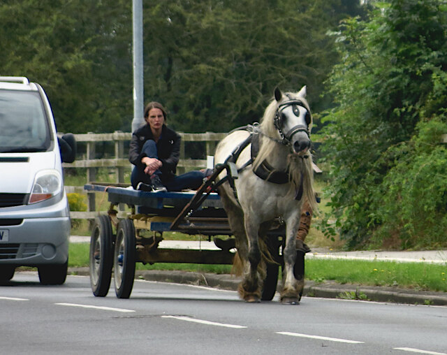
New Village Images
Images are sourced within 2km of 53.782057/-0.39713 or Grid Reference TA0532. Thanks to Geograph Open Source API. All images are credited.


New Village is located at Grid Ref: TA0532 (Lat: 53.782057, Lng: -0.39713)
Division: East Riding
Unitary Authority: East Riding of Yorkshire
Police Authority: Humberside
What 3 Words
///figure.chair.summer. Near Cottingham, East Yorkshire
Nearby Locations
Related Wikis

Thwaite Hall
Thwaite Hall was a traditional hall of residence of the University of Hull, located in Cottingham, East Riding of Yorkshire, England. == History and... ==
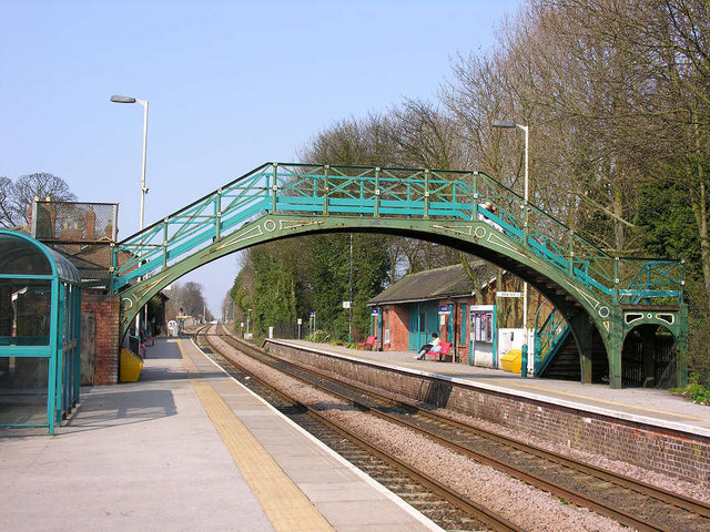
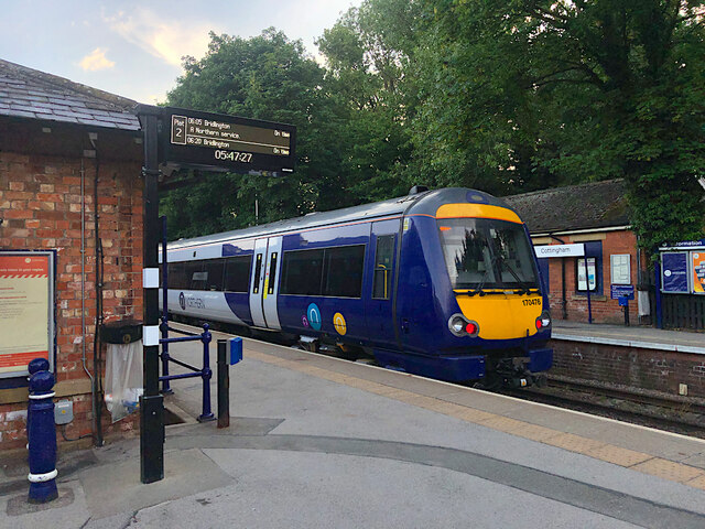
Cottingham railway station
Cottingham railway station serves the village of Cottingham in the East Riding of Yorkshire, England. Located on the Yorkshire Coast Line, it is managed...

Inglemire
Inglemire is a suburb of Kingston upon Hull, in the East Riding of Yorkshire, England. Inglemire has a library, a leisure centre, 2 post offices 6 places...

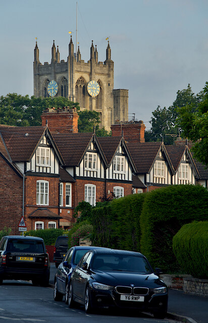
Cottingham, East Riding of Yorkshire
Cottingham is a large village and civil parish in the East Riding of Yorkshire, England. It lies 4 miles (6 km) north-west of the centre of Kingston upon...
Nearby Amenities
Located within 500m of 53.782057,-0.39713Have you been to New Village?
Leave your review of New Village below (or comments, questions and feedback).