Snuff Mill Wood
Wood, Forest in Yorkshire
England
Snuff Mill Wood

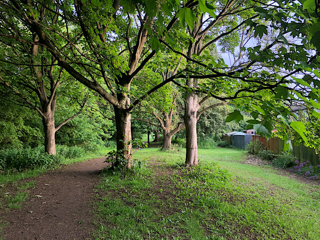
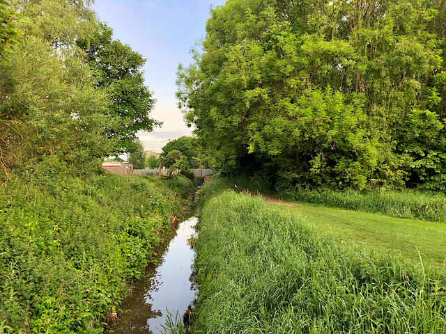
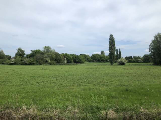
Snuff Mill Wood is a picturesque woodland located in Yorkshire, England. Covering an area of approximately 32 acres, this ancient forest is a popular destination for nature lovers, hikers, and wildlife enthusiasts.
The wood is named after the historic snuff mill that once operated on the site, producing tobacco snuff for local residents. Today, the mill is no longer in operation, but its remnants can still be seen among the trees, adding to the area's charm and historical significance.
Visitors to Snuff Mill Wood can enjoy a network of well-maintained trails that wind through the forest, offering opportunities to observe a variety of flora and fauna. The wood is home to a diverse range of plant and animal species, including oak, beech, and birch trees, as well as deer, squirrels, and a variety of bird species.
In addition to its natural beauty, Snuff Mill Wood also boasts a peaceful and tranquil atmosphere, making it the perfect place to escape the hustle and bustle of everyday life and reconnect with nature. Whether you're looking for a leisurely stroll, a challenging hike, or simply a quiet spot to relax and unwind, Snuff Mill Wood has something to offer for everyone.
If you have any feedback on the listing, please let us know in the comments section below.
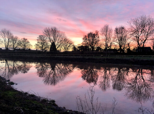
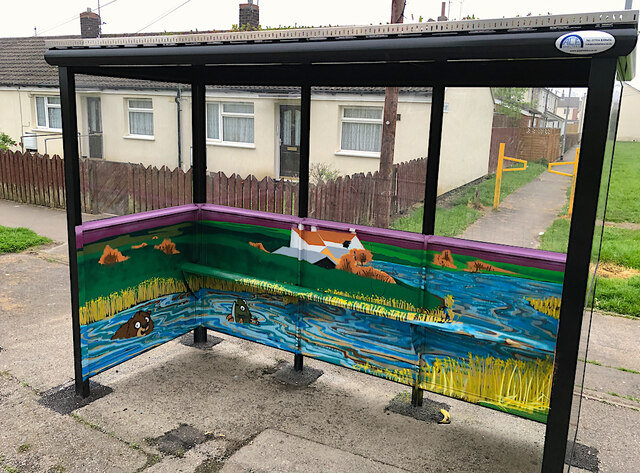
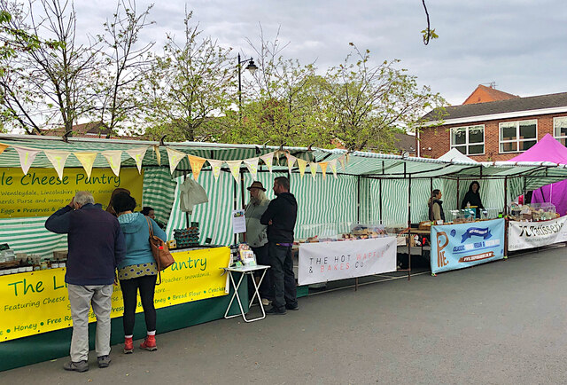
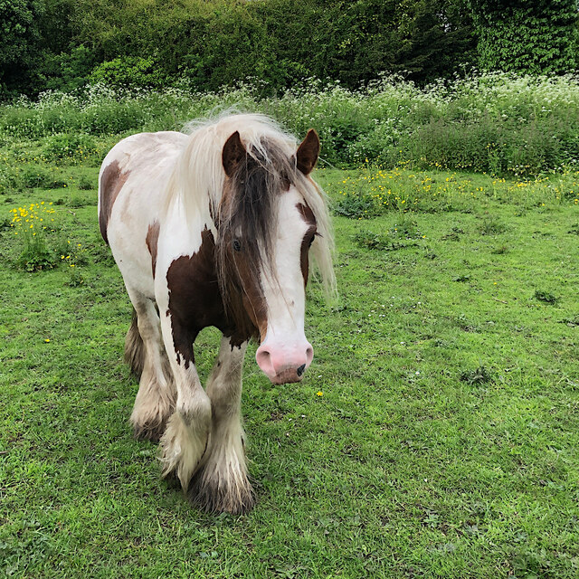
Snuff Mill Wood Images
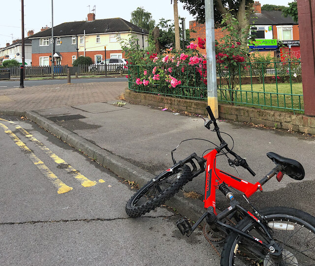
Images are sourced within 2km of 53.775056/-0.40421011 or Grid Reference TA0532. Thanks to Geograph Open Source API. All images are credited.


Snuff Mill Wood is located at Grid Ref: TA0532 (Lat: 53.775056, Lng: -0.40421011)
Division: East Riding
Unitary Authority: East Riding of Yorkshire
Police Authority: Humberside
What 3 Words
///found.plan.amber. Near Cottingham, East Yorkshire
Nearby Locations
Related Wikis

Thwaite Hall
Thwaite Hall was a traditional hall of residence of the University of Hull, located in Cottingham, East Riding of Yorkshire, England. == History and... ==

Hullshire
Hullshire was a county corporate in the East Riding of Yorkshire, England from 1440 to 1889. Hullshire may refer to the area outside the town of Kingston...
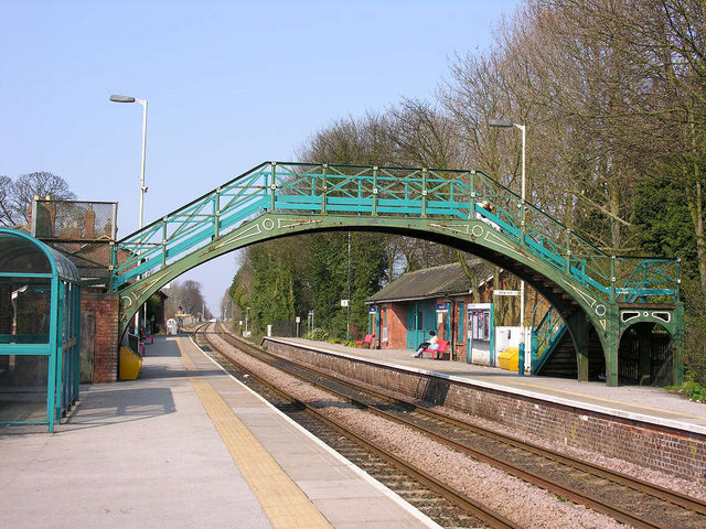
Cottingham railway station
Cottingham railway station serves the village of Cottingham in the East Riding of Yorkshire, England. Located on the Yorkshire Coast Line, it is managed...

Cottingham, East Riding of Yorkshire
Cottingham is a large village and civil parish in the East Riding of Yorkshire, England. It lies 4 miles (6 km) north-west of the centre of Kingston upon...
Nearby Amenities
Located within 500m of 53.775056,-0.40421011Have you been to Snuff Mill Wood?
Leave your review of Snuff Mill Wood below (or comments, questions and feedback).