Town, New

Settlement in Kent Dartford

England

Town, New

Entrance to Darenth Country Park, near Dartford A driveway entering the Darenth Country Park in North Kent.  The driveway enters the park from a roundabout on the B260 road.
Entrance to Darenth Country Park, near Dartford Credit: Malc McDonald

The requested URL returned error: 429 Too Many Requests

If you have any feedback on the listing, please let us know in the comments section below.
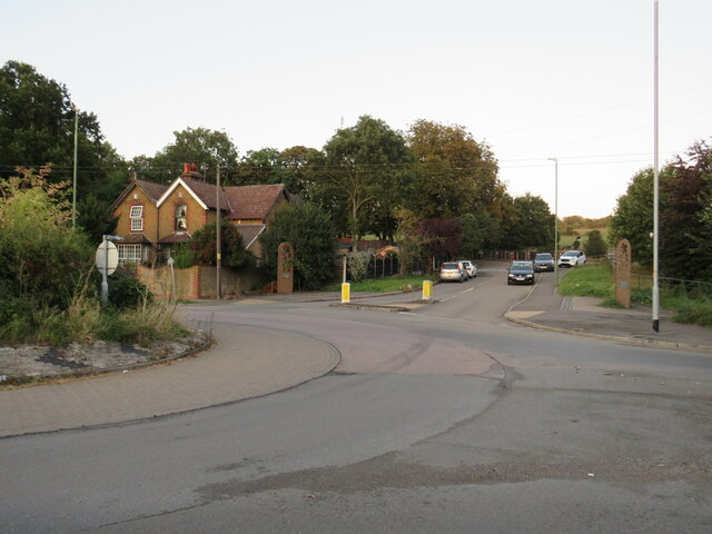
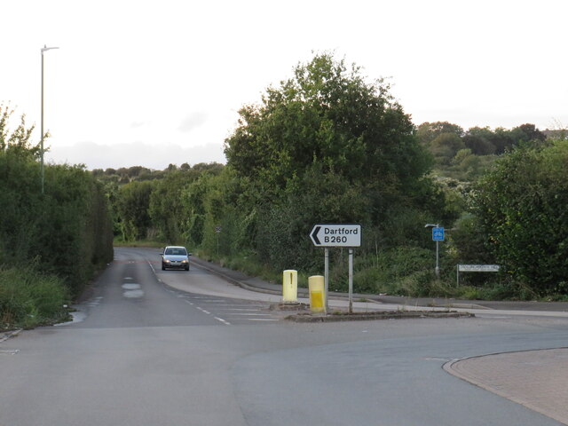
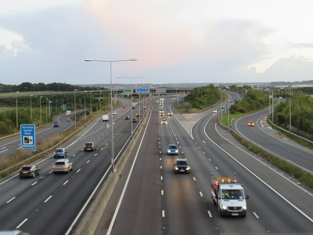
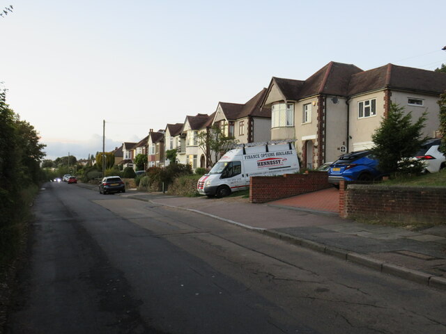
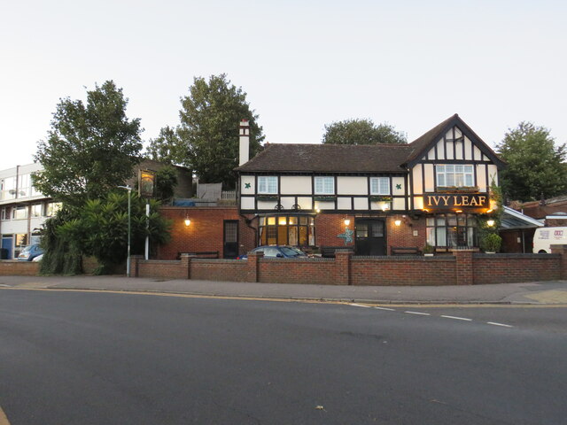
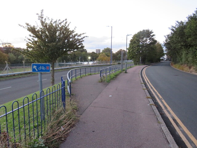
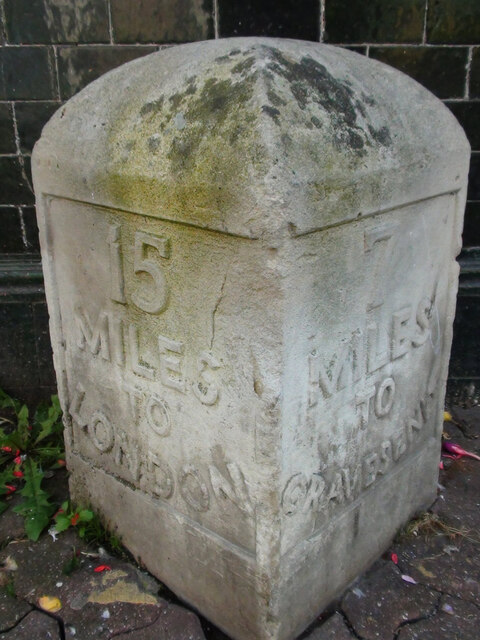
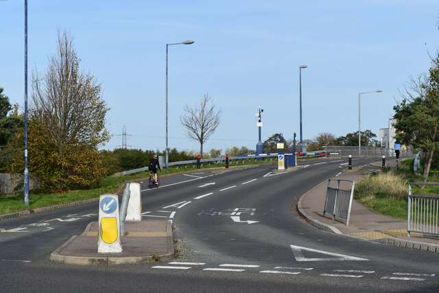
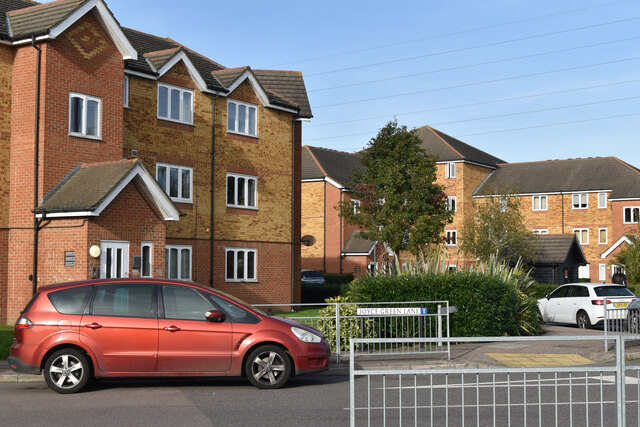
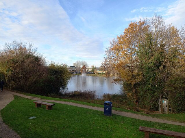
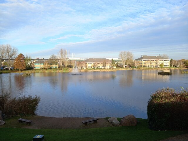
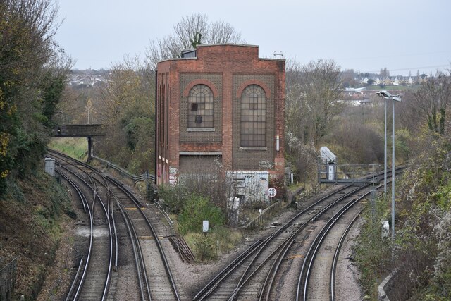
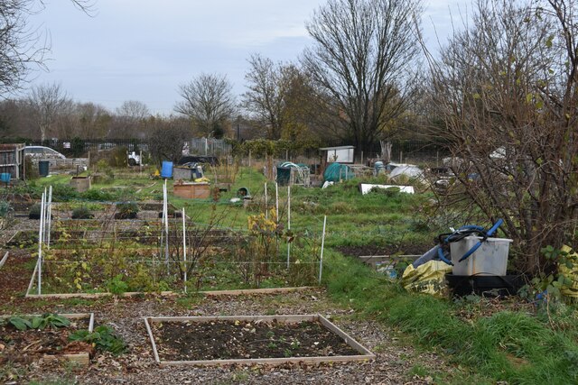
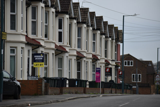
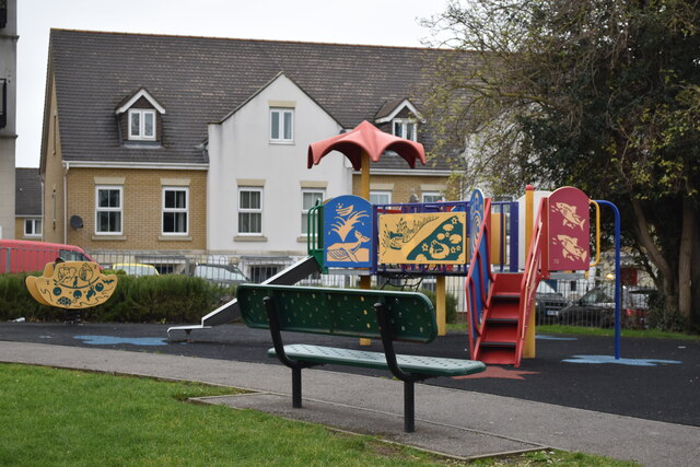
Town, New Images

Images are sourced within 2km of 51.442711/0.230506 or Grid Reference TQ5573. Thanks to Geograph Open Source API. All images are credited.

Entrance to Darenth Country Park, near Dartford A driveway entering the Darenth Country Park in North Kent.  The driveway enters the park from a roundabout on the B260 road.
Entrance to Darenth Country Park, near Dartford
A driveway entering the Darenth Country Park in North Kent. The driveway enters the park from a roundabout on the B260 road.
Trolling Down Hill, near Dartford Trolling Down Hill forms part of the route of the B260 road in north Kent.

This image was taken in fading light, at dusk on an October day.
Trolling Down Hill, near Dartford
Trolling Down Hill forms part of the route of the B260 road in north Kent. This image was taken in fading light, at dusk on an October day.
Start of the M25, Dartford The M25 almost forms a complete ring around the edge of London.  However the ring is broken between Dartford in Kent and West Thurrock on the north side of the Thames, with the A282 Dartford tunnels and bridge filling in the gap.

This photo shows the start of the M25, heading south from Dartford as it starts its clockwise journey of 117 miles around the edge of London to West Thurrock.  Slip roads carry traffic onto and from the A2, which crosses the M25 about a kilometre to the south.

The photo was taken in fading light, at dusk on an October evening.
Start of the M25, Dartford
The M25 almost forms a complete ring around the edge of London. However the ring is broken between Dartford in Kent and West Thurrock on the north side of the Thames, with the A282 Dartford tunnels and bridge filling in the gap. This photo shows the start of the M25, heading south from Dartford as it starts its clockwise journey of 117 miles around the edge of London to West Thurrock. Slip roads carry traffic onto and from the A2, which crosses the M25 about a kilometre to the south. The photo was taken in fading light, at dusk on an October evening.
Darenth Road, Dartford Darenth Road is a residential road in Dartford.  This image was taken at dusk on an October day, as light was fading.
Darenth Road, Dartford
Darenth Road is a residential road in Dartford. This image was taken at dusk on an October day, as light was fading.
Ivy Leaf pub, Dartford The Ivy Leaf pub in Dartford, photographed at dusk on an October day.
Ivy Leaf pub, Dartford
The Ivy Leaf pub in Dartford, photographed at dusk on an October day.
Brent Lane, Dartford Brent Lane is a residential road in the town of Dartford.  It is on the route of National Cycle Network route 1.
Brent Lane, Dartford
Brent Lane is a residential road in the town of Dartford. It is on the route of National Cycle Network route 1.
National Cycle Network route 1, Dartford The blue sign indicates that National Cycle Network route 1 takes the ramp to the left as it makes its way through the Kent town of Dartford.

This image was taken in fading light, at dusk on an October day.
National Cycle Network route 1, Dartford
The blue sign indicates that National Cycle Network route 1 takes the ramp to the left as it makes its way through the Kent town of Dartford. This image was taken in fading light, at dusk on an October day.
Old Milestone High Street, Dartford By The Royal Victoria and Bull Hotel in the pedestrianised area. In parish of DARTFORD (DARTFORD District), High Street, by No.1, The Royal Victoria and Bull Hotel, set in paviors by brick wall, on South side of road. Gravesend iron plate, erected by the Dartford & Strood turnpike trust in the 19th century. Alternative view <a href="https://www.geograph.org.uk/photo/6037659">TQ5474 : Old Milestone by The Royal Victoria and Bull Hotel, High Street, Dartford</a>

Inscription reads:-
15 / MILES / TO / LONDON // 7 / MILES / TO / GRAVESEND

Milestone Society National ID: KE_LD15
Old Milestone High Street, Dartford
By The Royal Victoria and Bull Hotel in the pedestrianised area. In parish of DARTFORD (DARTFORD District), High Street, by No.1, The Royal Victoria and Bull Hotel, set in paviors by brick wall, on South side of road. Gravesend iron plate, erected by the Dartford & Strood turnpike trust in the 19th century. Alternative view TQ5474 : Old Milestone by The Royal Victoria and Bull Hotel, High Street, Dartford Inscription reads:- 15 / MILES / TO / LONDON // 7 / MILES / TO / GRAVESEND Milestone Society National ID: KE_LD15
Entrance to Fastrack dedicated bus route For details see <span class="nowrap"><a title="https://www.go-fastrack.co.uk/" rel="nofollow ugc noopener" href="https://www.go-fastrack.co.uk/">Link</a><img style="margin-left:2px;" alt="External link" title="External link - shift click to open in new window" src="https://s1.geograph.org.uk/img/external.png" width="10" height="10"/></span>
Entrance to Fastrack dedicated bus route
For details see LinkExternal link
Modern housing at Joyce Green Lane
View across Cotton Lake Looking from Galleon Boulevard. Various offices have their buildings in the Crossways Business Park.

The footpath in the foreground leads around the lake.
View across Cotton Lake
Looking from Galleon Boulevard. Various offices have their buildings in the Crossways Business Park. The footpath in the foreground leads around the lake.
Mariner House, Moat Housing Headquarters building within the Crossways Business Park.
On Galleon Boulevard.
Mariner House, Moat Housing
Headquarters building within the Crossways Business Park. On Galleon Boulevard.
Cotton Lake and fountain Looking across Cotton Lake from office carparks on Galleon Boulevard.
More offices that are part of Crossways Business Park are seen across the lake.

In the background is the Queen Elizabeth Bridge heading over the River Thames towards Essex.
Cotton Lake and fountain
Looking across Cotton Lake from office carparks on Galleon Boulevard. More offices that are part of Crossways Business Park are seen across the lake. In the background is the Queen Elizabeth Bridge heading over the River Thames towards Essex.
Dartford Junction Tracks on the left to Crayford, tracks on the right to Slade Green.
Dartford Junction
Tracks on the left to Crayford, tracks on the right to Slade Green.
Allotments behind Marcet Road houses
Terraced houses on Highfield Road
Colourful play area on a grey day
Junction at the bottom of West Hill Looking into Spital Street.  The timber-framed building is The Royal Oak pub.
Junction at the bottom of West Hill
Looking into Spital Street. The timber-framed building is The Royal Oak pub.
Show me another place!

Town, New is located at Grid Ref: TQ5573 (Lat: 51.442711, Lng: 0.230506)

Administrative County: Kent

District: Dartford

Police Authority: Kent

What 3 Words

///statue.list.chief. Near Dartford, Kent

Related Wikis

Hesketh Park (cricket ground)

Hesketh Park is a cricket ground in Dartford in Kent. The ground is the home of Dartford Cricket Club, one of the oldest cricket clubs in the United Kingdom...

Dartford Brent

Dartford Brent was an extensive area of common land on the outskirts of Dartford in Kent. Historically, it was the scene of a confrontation between King...

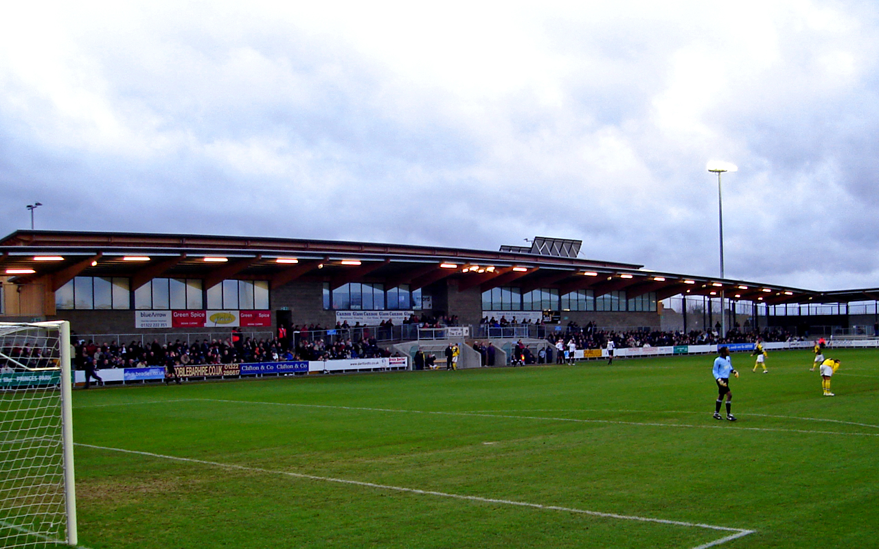
Princes Park (Dartford)

Princes Park is a football stadium in Dartford, Kent, England. It is the home of Dartford F.C. and London City Lionesses. Thamesmead Town were also sharing...

Leigh Academy

The Leigh Academy is a state funded academy for the Dartford area of Kent, England. It is part of the Leigh Academies Trust. The academy's principal, also...

Nearby Amenities

Located within 500m of 51.442711,0.230506
Speed Camera
Maxspeed: 60 mph
Lat/Long: 51.4435877/0.2371171
Mini Roundabout
Direction: clockwise
Lat/Long: 51.4421195/0.2307736
Traffic Calming: table
Lat/Long: 51.4457328/0.2319056
Crossing
Crossing: uncontrolled
Lat/Long: 51.4399978/0.2331354
Bus Stop
Brent Lane
Bus: yes
Local Ref: S-bound
Naptan AtcoCode: 240096605
Naptan Bearing: S
Naptan BusStopType: MKD
Naptan CommonName: Brent Lane
Naptan Indicator: S-bound
Naptan Landmark: Brent Lane
Naptan NaptanCode: kntgpdjw
Naptan Notes: Fast-Track Stop
Naptan RevisionNumber: 4
Naptan Status: act
Naptan Street: Fasttrack
Naptan Verified: no
Public Transport: platform
Ref: kntgpdjw
Shelter: yes
Source: naptan_import
Source Date: 2018-02-14
Lat/Long: 51.4407796/0.224247
Place Of Worship
St Andrews URC Dartford
Religion: christian
Lat/Long: 51.4412837/0.2370526
Post Box
Collection Times: Mo-Fr 09:00; Sa 07:00
Operator: Royal Mail
Post Box Type: pillar
Ref: DA1 34D
Royal Cypher: GR
Royal Cypher Wikidata: Q33102273
Lat/Long: 51.4410645/0.2370434
Post Box
Ref: DA1 305
Lat/Long: 51.4390889/0.2310128
Pub
Ivyleaf
Alt Name: Ivy Leaf
Toilets: yes
Toilets Access: customers
Lat/Long: 51.4413705/0.2244757
Telephone
Booth: KXPlus
Covered: booth
Lat/Long: 51.4409651/0.224573
Post Box
Post Box Type: pillar
Ref: DA1 361
Lat/Long: 51.4408486/0.2245628
Crossing
Crossing: uncontrolled
Crossing Ref: zebra
Lat/Long: 51.4469182/0.2313082
Car Rental
Enterprise
Brand: Enterprise
Brand Wikidata: Q17085454
Official Name: Enterprise Rent-A-Car
Lat/Long: 51.4469989/0.2308787
Post Box
Post Box Type: pillar
Lat/Long: 51.4464639/0.2314195
Crossing
Crossing: uncontrolled
Crossing Ref: zebra
Lat/Long: 51.4444255/0.2325807
Crossing
Crossing: traffic_signals
Crossing Island: no
Crossing Ref: puffin
Kerb: flush
Tactile Paving: yes
Traffic Calming: table
Lat/Long: 51.4421761/0.2343276
Post Box
Collection Times: Mo-Fr 09:00; Sa 07:00
Operator: Royal Mail
Post Box Manufacturer: Carron Company, Stirlingshire
Post Box Type: pillar
Ref: DA1 38D
Royal Cypher: GVIR
Royal Cypher Wikidata: Q33102169
Lat/Long: 51.4457903/0.225253
Place Of Worship
Vietnamese Buddhist Meditation Centre
Religion: buddhist
Lat/Long: 51.4449363/0.2276654
Scout Hall
1st Dartford (St Albans) Scout Group
Lat/Long: 51.4437808/0.2258801
Crossing
Lat/Long: 51.4419322/0.2308827
Crossing
Crossing: marked
Tactile Paving: yes
Lat/Long: 51.4420262/0.2315227
Post Box
Post Box Type: pillar
Ref: DA1 196
Royal Cypher: EVIIR
Royal Cypher Wikidata: Q33102324
Lat/Long: 51.4419027/0.2319306
Crossing
Lat/Long: 51.4416931/0.2336064
Bus Stop
Brent Lane
Bench: yes
Bus: yes
Local Ref: N-bound
Naptan AtcoCode: 240096607
Naptan Bearing: N
Naptan BusStopType: MKD
Naptan CommonName: Brent Lane
Naptan Indicator: N-bound
Naptan Landmark: Brent Lane
Naptan NaptanCode: kntgpjpj
Naptan Notes: Fast-Track Stop
Naptan RevisionNumber: 4
Naptan Status: act
Naptan Street: Fasttrack
Naptan Verified: no
Public Transport: platform
Ref: kntgpjpj
Shelter: yes
Source: naptan_import
Source Date: 2018-02-14
Lat/Long: 51.4408254/0.2240423
Bus Stop
Brentfield Road
Local Ref: opp
Naptan AtcoCode: 2400A018810A
Naptan Bearing: W
Naptan BusStopType: MKD
Naptan CommonName: Brentfield Road
Naptan Indicator: opp
Naptan Landmark: Brentfield Road
Naptan NaptanCode: kntatpad
Naptan RevisionNumber: 3
Naptan Status: act
Naptan Street: The Brent
Naptan Verified: no
Public Transport: platform
Ref: kntatpad
Source: naptan_import
Source Date: 2018-02-14
Lat/Long: 51.4421142/0.2365174
Bus Stop
The Brent
Local Ref: E-bound
Naptan AtcoCode: 2400A018820A
Naptan Bearing: E
Naptan BusStopType: MKD
Naptan CommonName: The Brent
Naptan Indicator: E-bound
Naptan Landmark: Brentfield Road
Naptan NaptanCode: kntatpag
Naptan RevisionNumber: 3
Naptan Status: act
Naptan Street: The Brent
Naptan Verified: no
Public Transport: platform
Ref: kntatpag
Source: naptan_import
Source Date: 2018-02-14
Lat/Long: 51.4420488/0.2355075
Bus Stop
Brentfield Road
Local Ref: adj
Naptan AtcoCode: 2400A018830A
Naptan Bearing: E
Naptan BusStopType: MKD
Naptan CommonName: Brentfield Road
Naptan Indicator: adj
Naptan Landmark: Brentfield Road
Naptan NaptanCode: kntatpaj
Naptan RevisionNumber: 4
Naptan Status: act
Naptan Street: The Brent
Naptan Verified: no
Public Transport: platform
Ref: kntatpaj
Source: naptan_import
Source Date: 2018-02-14
Lat/Long: 51.4423063/0.2369483
Bus Stop
St Vincents Road
Bus: yes
Local Ref: opp
Naptan AtcoCode: 2400A019260A
Naptan Bearing: W
Naptan BusStopType: MKD
Naptan CommonName: St Vincents Road
Naptan Indicator: opp
Naptan Landmark: St Vincents Road
Naptan NaptanCode: kntatpwj
Naptan RevisionNumber: 4
Naptan Status: act
Naptan Street: The Brent
Naptan Verified: no
Public Transport: platform
Ref: kntatpwj
Source: naptan_import
Source Date: 2018-02-14
Lat/Long: 51.4416838/0.2333178
Bus Stop
Park Road
Bench: no
Local Ref: adj
Naptan AtcoCode: 2400A019270A
Naptan Bearing: W
Naptan BusStopType: MKD
Naptan CommonName: Park Road
Naptan Indicator: adj
Naptan Landmark: Park Rd
Naptan NaptanCode: kntatpwm
Naptan RevisionNumber: 3
Naptan Status: act
Naptan Verified: no
Public Transport: platform
Ref: kntatpwm
Shelter: yes
Source: naptan_import
Source Date: 2018-02-14
Tactile Paving: no
Lat/Long: 51.4420067/0.2312643
Bus Stop
Livingstone Hospital
Bench: no
Bin: no
Bus: yes
Local Ref: o/s
Naptan AtcoCode: 2400A019280A
Naptan Bearing: W
Naptan BusStopType: MKD
Naptan CommonName: Livingstone Hospital
Naptan Indicator: o/s
Naptan Landmark: Livingstone Hospital
Naptan NaptanCode: kntatpwp
Naptan RevisionNumber: 6
Naptan Status: act
Naptan Street: East Hill
Naptan Verified: no
Public Transport: platform
Ref: kntatpwp
Shelter: yes
Source: naptan_import
Source Date: 2016-07-25
Lat/Long: 51.4427136/0.2273392
Fulwich Road
Disused Highway: bus_stop
Disused Public Transport: platform
Local Ref: opp
Naptan AtcoCode: 2400A020170A
Naptan Bearing: S
Naptan BusStopType: MKD
Naptan CommonName: Fulwich Road
Naptan Indicator: opp
Naptan Landmark: Fulwich Road
Naptan NaptanCode: kntawapw
Naptan RevisionNumber: 4
Naptan Status: del
Naptan Street: St Vincents Road
Naptan Verified: no
Ref: kntawapw
Source: naptan_import
Source Date: 2012-08-14
Lat/Long: 51.4464916/0.2315529
Bus Stop
The Fulwich
Bus: yes
Local Ref: adj
Naptan AtcoCode: 2400A020180A
Naptan Bearing: S
Naptan BusStopType: CUS
Naptan CommonName: The Fulwich
Naptan Indicator: adj
Naptan Landmark: The Fulwich
Naptan NaptanCode: kntawata
Naptan RevisionNumber: 9
Naptan Status: act
Naptan Street: St Vincents Road
Naptan Verified: no
Public Transport: platform
Ref: kntawata
Sign: no
Source: naptan_import
Source Date: 2018-02-14
Lat/Long: 51.4440708/0.2329464
Bus Stop
Barham Road
Bus: yes
Local Ref: adj
Naptan AtcoCode: 2400A020190A
Naptan Bearing: SE
Naptan BusStopType: CUS
Naptan CommonName: Barham Road
Naptan Indicator: adj
Naptan Landmark: Barham Road
Naptan NaptanCode: kntawatd
Naptan RevisionNumber: 6
Naptan Status: act
Naptan Street: St Vincents Road
Naptan Verified: no
Public Transport: platform
Ref: kntawatd
Sign: no
Source: naptan_import
Source Date: 2018-02-14
Lat/Long: 51.4430269/0.2339316
Crossing
Crossing: unmarked
Crossing Markings: no
Tactile Paving: yes
Lat/Long: 51.4406354/0.2242187
Post Box
Collection Times: Mo-Fr 09:00, Sa 07:00
Ref: DA1 47D
Lat/Long: 51.4447735/0.2323382
Bus Stop
Livingstone Hospital
Bus: yes
Local Ref: opp
Naptan AtcoCode: 2400A060520A
Naptan Bearing: E
Naptan BusStopType: MKD
Naptan CommonName: Livingstone Hospital
Naptan Indicator: opp
Naptan Landmark: Livingstone Hospital
Naptan NaptanCode: kntgtpdj
Naptan RevisionNumber: 4
Naptan Status: act
Naptan Street: East Hill
Naptan Verified: no
Public Transport: platform
Ref: kntgtpdj
Source: naptan_import
Source Date: 2018-02-14
Lat/Long: 51.4426264/0.2285156
Bus Stop
Park Road
Bench: no
Local Ref: opp
Naptan AtcoCode: 2400102527
Naptan Bearing: E
Naptan BusStopType: MKD
Naptan CommonName: Park Road
Naptan Indicator: opp
Naptan Landmark: Park Road
Naptan NaptanCode: kntgtpdm
Naptan RevisionNumber: 4
Naptan Status: act
Naptan Street: The Brent
Naptan Verified: no
Public Transport: platform
Ref: kntgtpdm
Shelter: no
Source: naptan_import
Source Date: 2018-02-14
Tactile Paving: no
Lat/Long: 51.4419096/0.2326251
Street Lamp
Lamp Model: Philips SGS204
Lamp Type: high_pressure_sodium
Source: Local knowledge
Lat/Long: 51.4430907/0.2375912
Street Lamp
Lamp Model: Philips SGS204
Lamp Type: high_pressure_sodium
Source: Local knowledge
Lat/Long: 51.4434656/0.2373224
Street Lamp
Lamp Model: Philips SGS204
Lamp Type: high_pressure_sodium
Source: Local knowledge
Lat/Long: 51.4438096/0.2370896
Street Lamp
Lamp Model: Philips SGS204
Lamp Type: high_pressure_sodium
Source: Local knowledge
Lat/Long: 51.4441172/0.2368787
Street Lamp
Lamp Model: Philips SGS204
Lamp Type: high_pressure_sodium
Source: Local knowledge
Lat/Long: 51.4445508/0.2365868
Street Lamp
Lamp Model: Philips SGS204
Lamp Type: high_pressure_sodium
Source: Local knowledge
Lat/Long: 51.4456157/0.2359811
Street Lamp
Lamp Model: Philips SGS204
Lamp Type: high_pressure_sodium
Source: Local knowledge
Lat/Long: 51.4452474/0.2361669
Street Lamp
Lamp Model: Philips SGS204
Lamp Type: high_pressure_sodium
Source: Local knowledge
Lat/Long: 51.4449033/0.236365
Brentfield Road
Bus: yes
Public Transport: stop_position
Lat/Long: 51.4421887/0.2364762
Brentfield Road
Bus: yes
Public Transport: stop_position
Lat/Long: 51.4422726/0.2369409
The Brent
Bus: yes
Public Transport: stop_position
Lat/Long: 51.4419963/0.2355317
Park Road
Bus: yes
Network: London Buses
Operator: Transport for London
Public Transport: stop_position
Lat/Long: 51.4418482/0.2326143
Park Road
Bus: yes
Public Transport: stop_position
Lat/Long: 51.4420635/0.2312875
St Vincents Road
Bus: yes
Public Transport: stop_position
Lat/Long: 51.4417349/0.2333383
Brent Lane
Bus: yes
Public Transport: stop_position
Lat/Long: 51.4408492/0.2241274
Brent Lane
Bus: yes
Public Transport: stop_position
Lat/Long: 51.4407638/0.2241764
Downs Avenue
Bus: yes
Public Transport: stop_position
Lat/Long: 51.4403671/0.2327012
Bus Stop
Downs Avenue
Bus: yes
Local Ref: opp
Naptan AtcoCode: 2400105832
Naptan Bearing: SE
Naptan BusStopType: MKD
Naptan CommonName: Downs Avenue
Naptan Indicator: opp
Naptan Landmark: Downs Avenue
Naptan NaptanCode: kntjtgmg
Naptan RevisionNumber: 0
Naptan Status: act
Naptan Street: Park Road
Naptan Verified: no
Public Transport: platform
Ref: kntjtgmg
Shelter: no
Source: naptan_import
Source Date: 2013-05-03
Lat/Long: 51.440399/0.232762
Rochester Road
Bus: yes
Public Transport: stop_position
Lat/Long: 51.4418332/0.2309964
Bus Stop
Rochester Road
Local Ref: opp
Naptan AtcoCode: 2400105828
Naptan Bearing: SE
Naptan BusStopType: MKD
Naptan CommonName: Rochester Road
Naptan Indicator: opp
Naptan Landmark: Rochester Road
Naptan NaptanCode: kntjtgma
Naptan RevisionNumber: 0
Naptan Status: act
Naptan Street: Park Road
Naptan Verified: no
Public Transport: platform
Ref: kntjtgma
Source: naptan_import
Source Date: 2013-05-03
Lat/Long: 51.44185/0.231034
Rochester Road
Bus: yes
Public Transport: stop_position
Lat/Long: 51.4415786/0.2312891
Bus Stop
Rochester Road
Bench: no
Bin: no
Local Ref: adj
Naptan AtcoCode: 2400105830
Naptan Bearing: NW
Naptan BusStopType: MKD
Naptan CommonName: Rochester Road
Naptan Indicator: adj
Naptan Landmark: Rochester Road
Naptan NaptanCode: kntjtgmd
Naptan RevisionNumber: 0
Naptan Status: act
Naptan Street: Park Road
Naptan Verified: no
Public Transport: platform
Ref: kntjtgmd
Shelter: no
Source: naptan_import
Source Date: 2013-05-03
Lat/Long: 51.441554/0.231234
Downs Avenue
Bus: yes
Public Transport: stop_position
Lat/Long: 51.4402019/0.2328957
Bus Stop
Downs Avenue
Local Ref: adj
Naptan AtcoCode: 2400105834
Naptan Bearing: NW
Naptan BusStopType: MKD
Naptan CommonName: Downs Avenue
Naptan Indicator: adj
Naptan Landmark: Downs Avenue
Naptan NaptanCode: kntjtgmj
Naptan RevisionNumber: 0
Naptan Status: act
Naptan Street: Park Road
Naptan Verified: no
Public Transport: platform
Ref: kntjtgmj
Source: naptan_import
Source Date: 2013-05-03
Lat/Long: 51.4401779/0.2328272
Carrington Road
Bus: yes
Public Transport: stop_position
Lat/Long: 51.4460022/0.2317655
Bus Stop
Carrington Road
Bench: no
Bus: yes
Local Ref: adj
Naptan AtcoCode: 2400106321
Naptan Bearing: N
Naptan BusStopType: MKD
Naptan CommonName: Carrington Road
Naptan Indicator: adj
Naptan Landmark: Carrington Road
Naptan NaptanCode: kntjtmjt
Naptan RevisionNumber: 2
Naptan Status: act
Naptan Street: St Vincents Road
Naptan Verified: no
Public Transport: platform
Ref: kntjtmjt
Shelter: no
Source: naptan_import
Source Date: 2018-02-14
Tactile Paving: no
Lat/Long: 51.4459952/0.2317227
Barham Road
Bus: yes
Public Transport: stop_position
Lat/Long: 51.4432829/0.2335396
Bus Stop
Barham Road
Bus: yes
Local Ref: opp
Naptan AtcoCode: 2400106319
Naptan Bearing: NW
Naptan BusStopType: MKD
Naptan CommonName: Barham Road
Naptan Indicator: opp
Naptan Landmark: Barham Road
Naptan NaptanCode: kntjtmjp
Naptan RevisionNumber: 3
Naptan Status: act
Naptan Street: St Vincents Road
Naptan Verified: no
Public Transport: platform
Ref: kntjtmjp
Source: naptan_import
Source Date: 2018-02-14
Lat/Long: 51.4432594/0.2334863
Fast Food
Janith Fried Chicken
Cuisine: chicken
Lat/Long: 51.4464708/0.2313526
Shop: car_repair
Lat/Long: 51.4460963/0.2308631
Post Office
The Brent Post Office
Addr City: Dartford
Addr Housenumber: 9-13
Addr Postcode: DA1 1YD
Addr Street: The Brent
Branch: The Brent
Brand: Post Office
Brand Wikidata: Q1783168
Check Date: 2020-02-20
Contact Website: https://www.postoffice.co.uk/branch-finder/1710141/the-brent
Opening Hours: Mo-Th 06:00-21:00; Fr 06:00-22:00; Sa 06:30-22:00; Su 06:30-21:00
Ref Pol Id: 145885
Lat/Long: 51.4419462/0.2313499
Waste Basket
Waste: dog_excrement
Lat/Long: 51.4441245/0.2242407
Waste Basket
Waste: dog_excrement
Lat/Long: 51.4438871/0.2243601
Waste Basket
Waste: dog_excrement
Lat/Long: 51.4433739/0.2244251
Waste Basket
Lat/Long: 51.4433919/0.2244573
Waste Basket
Waste: dog_excrement
Lat/Long: 51.4437292/0.224922
Waste Basket
Lat/Long: 51.4439064/0.224918
Waste Basket
Waste: dog_excrement
Lat/Long: 51.4439085/0.2248958
Bench
Note: Approximate position. There are a few benches (about 2 or 3?) next to this path.
Lat/Long: 51.4403713/0.2340724
Hesketh Park
Board Type: history
Information: board
Note: Board with history of park and map
Operator: Dartford Borough Council
Tourism: information
Lat/Long: 51.4407667/0.2331859
Entrance: main
Lat/Long: 51.4446843/0.2325608
Entrance: main
Lat/Long: 51.4447133/0.2325437
Bus Stop
Pilgrims Way
Local Ref: opp
Naptan AtcoCode: 2400104483
Naptan Bearing: E
Naptan BusStopType: MKD
Naptan CommonName: Pilgrims Way
Naptan Indicator: opp
Naptan Landmark: Dartford United Reformed Church
Naptan NaptanCode: kntjpgag
Naptan RevisionNumber: 2
Naptan Status: act
Naptan Street: Watling Street
Naptan Verified: no
Public Transport: platform
Shelter: no
Source: naptan_import
Source Date: 2018-02-14
Lat/Long: 51.4411759/0.2370657
Man Made: mast
Lat/Long: 51.4410588/0.2370697
Entrance: main
Lat/Long: 51.4408065/0.23679
Give Way
Lat/Long: 51.4411349/0.236776
R.J. Clarke
Description: Taxi Rentals & Repairs
Office: company
Phone: +44 1322 222036;+44 7956 444821
Lat/Long: 51.4451468/0.2301684
Bridge Cars
Office: taxi
Phone: +44 1322 288888
Lat/Long: 51.4451472/0.2301349
T.H. Autos
Phone: +44 7779 331349
Service: repair
Shop: car_repair
Lat/Long: 51.4451472/0.2301047
Traffic Calming: table
Lat/Long: 51.4445964/0.2323323
Entrance: main
Lat/Long: 51.4445157/0.2322639
Entrance: home
Lat/Long: 51.4446955/0.2320755
Entrance: home
Lat/Long: 51.444706/0.2318393
Entrance: main
Lat/Long: 51.4447011/0.2319587
Entrance: home
Lat/Long: 51.4446998/0.2319828
Give Way
Direction: forward
Lat/Long: 51.4466304/0.2313828
Dentist
Smiledartford
Healthcare: dentist
Website: https://www.smiledartford.co.uk/
Lat/Long: 51.4414998/0.2339986
Access: customers
Barrier: swing_gate
Lat/Long: 51.4420602/0.2342807
ChipsAway
Note: Signed at end of driveway, not sure which building it is in
Phone: +44 800 0287878
Shop: car_repair
Website: https://www.chipsaway.co.uk/
Lat/Long: 51.4427192/0.2351033
KC Car Services
Email: kccarsales@btconnect.com
Note: Signed at end of driveway, not sure which building it is in
Phone: +44 1322 277910
Service: repair;tyres;MOT
Shop: car_repair
Lat/Long: 51.44272/0.2351157
Jenpro GWER Ltd
Description: Welding & cutting equipment supplies
Note: Signed at end of driveway, not sure which building it is in
Phone: +44 1322 270036
Shop: trade
Website: https://gwer.co.uk/
Lat/Long: 51.4427278/0.2351131
Street Lamp
Lat/Long: 51.4425911/0.2375183
Street Lamp
Lat/Long: 51.4428157/0.2373078
Bench
Lat/Long: 51.4410312/0.2332804
Bench
Lat/Long: 51.4410517/0.2331235
Bench
Lat/Long: 51.4409526/0.2331061
Image: https://archive.org/details/dartford-2020-07-11/IMG_20200712_181003.jpg
Image 1: https://archive.org/details/dartford-2020-07-11/IMG_20200712_181030.jpg
Note: Small monument/art work made of stone blocks, with plaques on each side. On SE side, a plaque titled "Hesketh Park" details the opening of the park.
Note 2: On the NW side a plaque titled "Principal Historical Events associated with Dartford Brent. (Formerly called "The Brimth")" - with timeline of historical events
Tourism: artwork
Lat/Long: 51.4409911/0.233196
John Hall
Buried Wikidata: Q30609378
Cemetery: grave
Description: Also grave of John Hall's wife and children
Subject Wikipedia: en:John_Hall_(engineer)
Lat/Long: 51.4437166/0.2248362
Martyrs' Monument
Historic: memorial
Wikidata: Q26375406
Lat/Long: 51.4436385/0.2236647
Street Lamp
Lat/Long: 51.4437455/0.2252553
Give Way
Lat/Long: 51.4422387/0.2301167
V1 Flying Bomb Carrington Road
Colour: blue
Erected By: Dartford Borough Council
Historic: memorial
Image: https://archive.org/details/Dartford-north-2021-04-24/Dartford%20%28north%29%202021-04-24/2021-04-24_16-25-18_20210424_19_16_37.jpg
Inscription: V1 Flying Bomb Carrington Road Sunday 6th August 1944. On this spot fell a V1 flying bomb resulting in the loss of 10 lives, 107 injuries and damage to nearly 700 homes
Memorial: plaque
Openplaques Id: 53777
Lat/Long: 51.4457285/0.2303798
New Town
Place: suburb
Lat/Long: 51.4455265/0.2320235
Hospital
Livingstone Community Hospitals
No
Addr City: Dartford
Addr Housename: Livingstone Community Hospital
Addr Street: East Hill
Contact Phone: +44 01322 622374
Contact Website: https://www.nhs.uk/Services/Hospitals/Overview/DefaultView.aspx?id=NDAJ0
Emergency: no
Healthcare: hospital
Lat/Long: 51.4422302/0.2267637
Tesco Express
Addr Housenumber: 72-80
Addr Postcode: DA1 1RZ
Addr Street: East Hill
Brand: Tesco Express
Brand Wikidata: Q98456772
Check Date: 2023-06-25
Contact Website: https://www.tesco.com/store-locator/dartford/72-80-e-hill
Fhrs Id: 481764
Shop: convenience
Lat/Long: 51.4429727/0.2269632
Give Way
Direction: forward
Lat/Long: 51.44005/0.2329846
Give Way
Direction: forward
Lat/Long: 51.4391504/0.2314212
Give Way
Direction: forward
Lat/Long: 51.4391747/0.2308925
Crossing
Crossing: unmarked
Lat/Long: 51.4391751/0.2312236
Give Way
Direction: backward
Lat/Long: 51.4401273/0.2288177
Give Way
Direction: backward
Lat/Long: 51.4406791/0.2275678
Give Way
Direction: forward
Lat/Long: 51.4406842/0.2272945
Give Way
Direction: forward
Lat/Long: 51.4410679/0.2244326
Barrier: kerb
Kerb: lowered
Lat/Long: 51.4411809/0.224141
Crossing
Lat/Long: 51.4410775/0.2244632
Crossing
Lat/Long: 51.440418/0.224609
Crossing
Lat/Long: 51.4407394/0.2245944
Crossing
Lat/Long: 51.4431816/0.224918
Check Date: 2023-06-25
Shop: laundry
Lat/Long: 51.4428815/0.2274371
The data included in this document is from www.openstreetmap.org. The data is made available under ODbL.

Have you been to Town, New?

Leave your review of Town, New below (or comments, questions and feedback).