Fleet-Downs

Settlement in Kent Dartford

England

Fleet-Downs

Watchgate, Darenth, near Dartford Watchgate forms part of the route of the B260 road as it passes through the village of Dareth.  A Co-op local convenience store stands in the opposite side of the road.
Watchgate, Darenth, near Dartford Credit: Malc McDonald

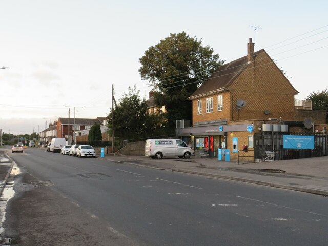
Fleet-Downs is a small residential area located in the county of Kent, England. Situated towards the northwest of the town of Dartford, it falls within the Dartford Borough Council jurisdiction. The area is characterized by its peaceful atmosphere and close-knit community.

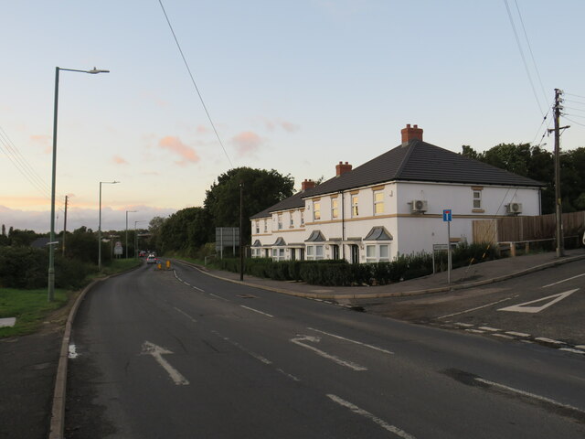
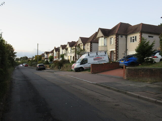
Fleet-Downs is primarily a residential neighborhood, consisting mainly of single-family houses and a few apartment complexes. The properties in the area are predominantly modern, offering a range of housing options to suit different preferences and budgets. The streets are lined with well-maintained gardens and green spaces, contributing to the overall pleasant aesthetic of the neighborhood.

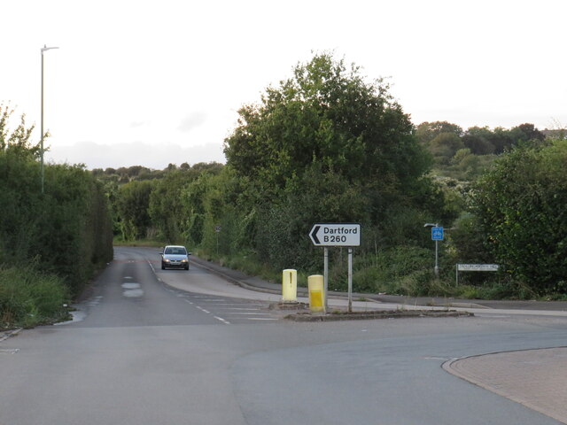
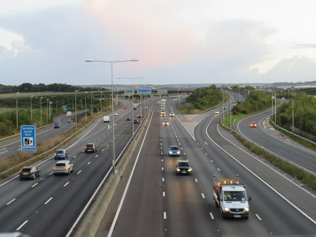
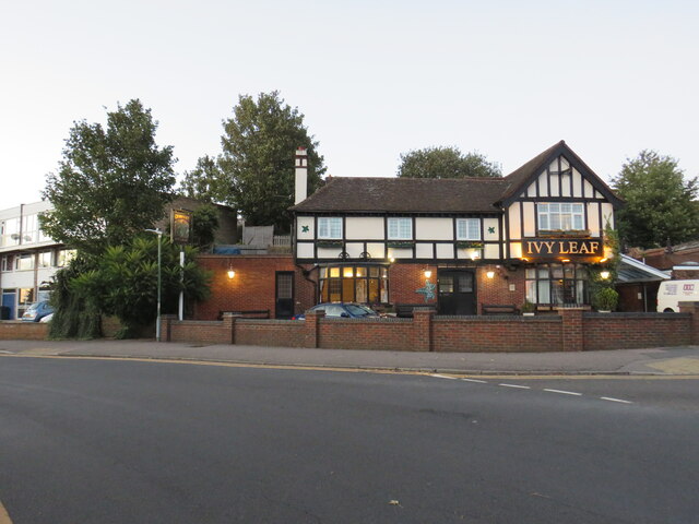
Residents of Fleet-Downs benefit from the area's convenient location. The nearby town of Dartford offers a wide range of amenities, including shopping centers, supermarkets, restaurants, and entertainment facilities. The neighborhood's proximity to the A2 and M25 motorways provides easy access to other parts of Kent and London, making it an attractive option for commuters.

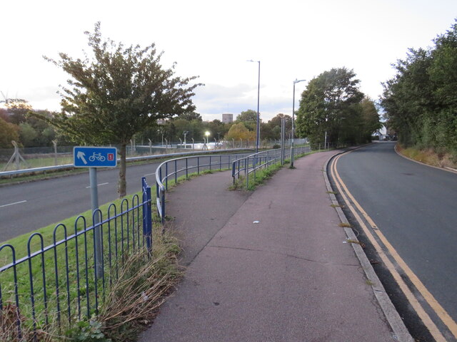
Fleet-Downs is also known for its close proximity to some beautiful natural landscapes. Shorne Woods Country Park and Darenth Country Park are both within a short drive, offering residents the opportunity to enjoy outdoor activities such as walking, cycling, and picnicking.

Overall, Fleet-Downs offers a peaceful and family-friendly environment, with a range of amenities and easy access to both urban and natural attractions. It is a desirable place to live for those seeking a quiet suburban lifestyle with excellent transport links.

If you have any feedback on the listing, please let us know in the comments section below.
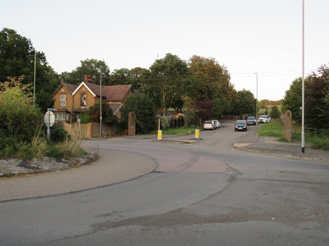
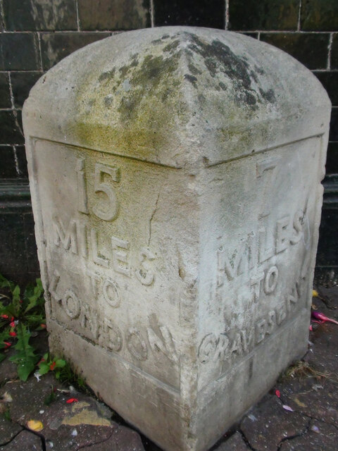
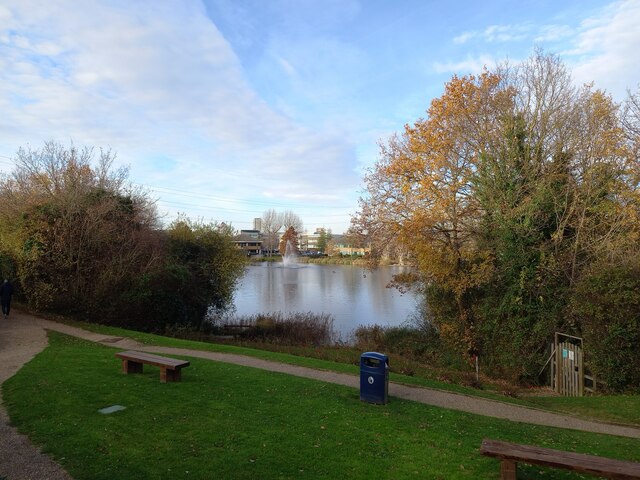
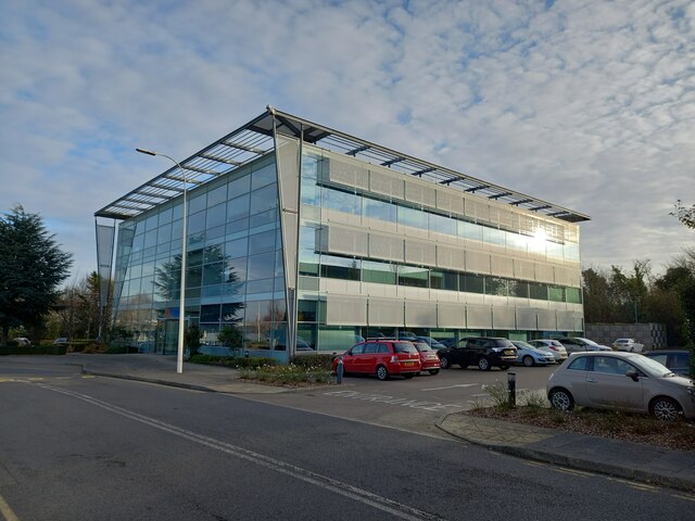
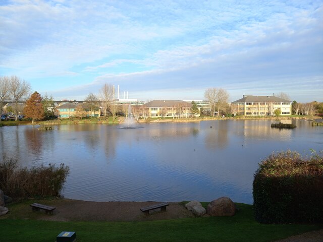
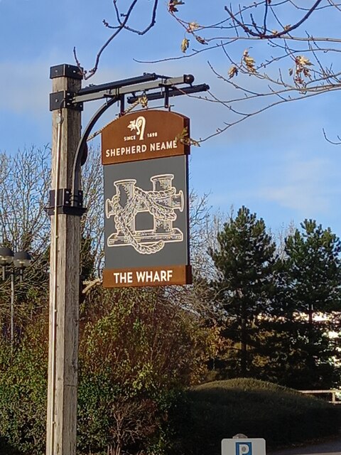
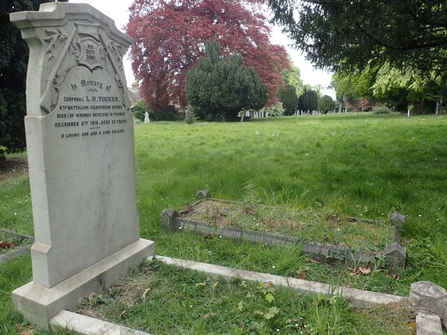
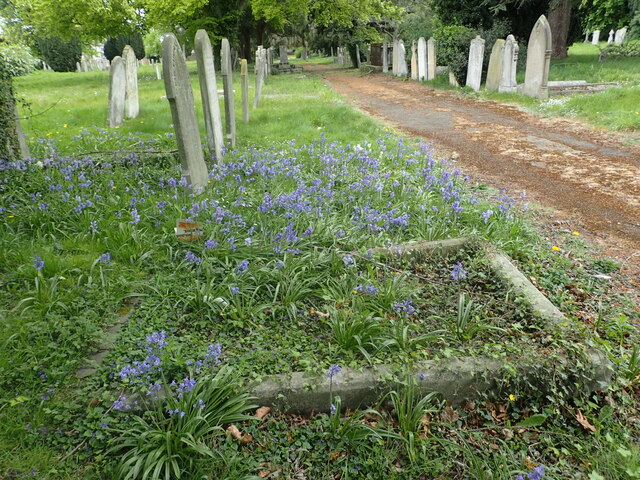
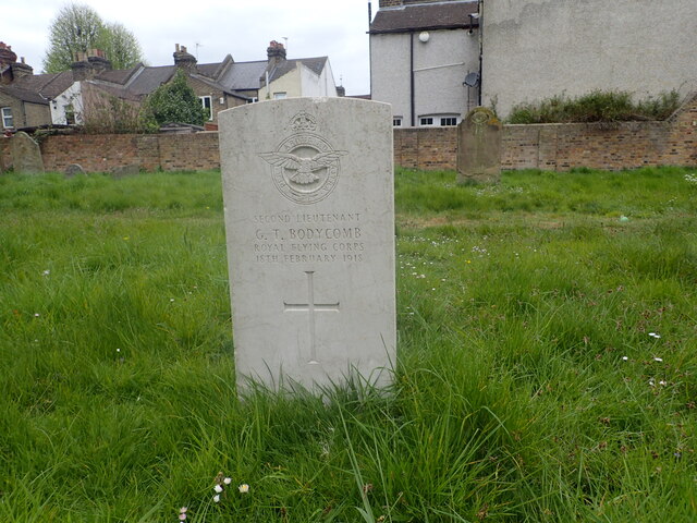
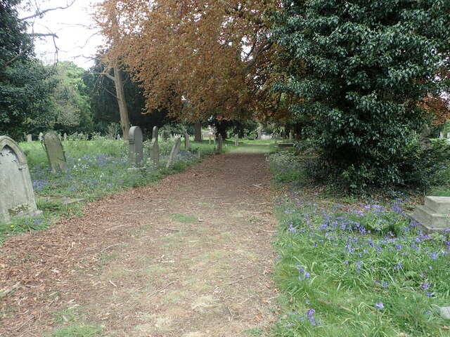
Fleet-Downs Images

Images are sourced within 2km of 51.437195/0.24206445 or Grid Reference TQ5573. Thanks to Geograph Open Source API. All images are credited.

Watchgate, Darenth, near Dartford Watchgate forms part of the route of the B260 road as it passes through the village of Dareth.  A Co-op local convenience store stands in the opposite side of the road.
Watchgate, Darenth, near Dartford
Watchgate forms part of the route of the B260 road as it passes through the village of Dareth. A Co-op local convenience store stands in the opposite side of the road.
Green Street, Darenth Green Street, heading out of the north Kent village of Darenth, forms part of the route of the B260 road.

This image was taken at dusk on an October evening, as the daylight was fading.
Green Street, Darenth
Green Street, heading out of the north Kent village of Darenth, forms part of the route of the B260 road. This image was taken at dusk on an October evening, as the daylight was fading.
Entrance to Darenth Country Park, near Dartford A driveway entering the Darenth Country Park in North Kent.  The driveway enters the park from a roundabout on the B260 road.
Entrance to Darenth Country Park, near Dartford
A driveway entering the Darenth Country Park in North Kent. The driveway enters the park from a roundabout on the B260 road.
Trolling Down Hill, near Dartford Trolling Down Hill forms part of the route of the B260 road in north Kent.

This image was taken in fading light, at dusk on an October day.
Trolling Down Hill, near Dartford
Trolling Down Hill forms part of the route of the B260 road in north Kent. This image was taken in fading light, at dusk on an October day.
Start of the M25, Dartford The M25 almost forms a complete ring around the edge of London.  However the ring is broken between Dartford in Kent and West Thurrock on the north side of the Thames, with the A282 Dartford tunnels and bridge filling in the gap.

This photo shows the start of the M25, heading south from Dartford as it starts its clockwise journey of 117 miles around the edge of London to West Thurrock.  Slip roads carry traffic onto and from the A2, which crosses the M25 about a kilometre to the south.

The photo was taken in fading light, at dusk on an October evening.
Start of the M25, Dartford
The M25 almost forms a complete ring around the edge of London. However the ring is broken between Dartford in Kent and West Thurrock on the north side of the Thames, with the A282 Dartford tunnels and bridge filling in the gap. This photo shows the start of the M25, heading south from Dartford as it starts its clockwise journey of 117 miles around the edge of London to West Thurrock. Slip roads carry traffic onto and from the A2, which crosses the M25 about a kilometre to the south. The photo was taken in fading light, at dusk on an October evening.
Darenth Road, Dartford Darenth Road is a residential road in Dartford.  This image was taken at dusk on an October day, as light was fading.
Darenth Road, Dartford
Darenth Road is a residential road in Dartford. This image was taken at dusk on an October day, as light was fading.
Ivy Leaf pub, Dartford The Ivy Leaf pub in Dartford, photographed at dusk on an October day.
Ivy Leaf pub, Dartford
The Ivy Leaf pub in Dartford, photographed at dusk on an October day.
Brent Lane, Dartford Brent Lane is a residential road in the town of Dartford.  It is on the route of National Cycle Network route 1.
Brent Lane, Dartford
Brent Lane is a residential road in the town of Dartford. It is on the route of National Cycle Network route 1.
National Cycle Network route 1, Dartford The blue sign indicates that National Cycle Network route 1 takes the ramp to the left as it makes its way through the Kent town of Dartford.

This image was taken in fading light, at dusk on an October day.
National Cycle Network route 1, Dartford
The blue sign indicates that National Cycle Network route 1 takes the ramp to the left as it makes its way through the Kent town of Dartford. This image was taken in fading light, at dusk on an October day.
Old Milestone High Street, Dartford By The Royal Victoria and Bull Hotel in the pedestrianised area. In parish of DARTFORD (DARTFORD District), High Street, by No.1, The Royal Victoria and Bull Hotel, set in paviors by brick wall, on South side of road. Gravesend iron plate, erected by the Dartford & Strood turnpike trust in the 19th century. Alternative view <a href="https://www.geograph.org.uk/photo/6037659">TQ5474 : Old Milestone by The Royal Victoria and Bull Hotel, High Street, Dartford</a>

Inscription reads:-
15 / MILES / TO / LONDON // 7 / MILES / TO / GRAVESEND

Milestone Society National ID: KE_LD15
Old Milestone High Street, Dartford
By The Royal Victoria and Bull Hotel in the pedestrianised area. In parish of DARTFORD (DARTFORD District), High Street, by No.1, The Royal Victoria and Bull Hotel, set in paviors by brick wall, on South side of road. Gravesend iron plate, erected by the Dartford & Strood turnpike trust in the 19th century. Alternative view TQ5474 : Old Milestone by The Royal Victoria and Bull Hotel, High Street, Dartford Inscription reads:- 15 / MILES / TO / LONDON // 7 / MILES / TO / GRAVESEND Milestone Society National ID: KE_LD15
View across Cotton Lake Looking from Galleon Boulevard. Various offices have their buildings in the Crossways Business Park.

The footpath in the foreground leads around the lake.
View across Cotton Lake
Looking from Galleon Boulevard. Various offices have their buildings in the Crossways Business Park. The footpath in the foreground leads around the lake.
Mariner House, Moat Housing Headquarters building within the Crossways Business Park.
On Galleon Boulevard.
Mariner House, Moat Housing
Headquarters building within the Crossways Business Park. On Galleon Boulevard.
Cotton Lake and fountain Looking across Cotton Lake from office carparks on Galleon Boulevard.
More offices that are part of Crossways Business Park are seen across the lake.

In the background is the Queen Elizabeth Bridge heading over the River Thames towards Essex.
Cotton Lake and fountain
Looking across Cotton Lake from office carparks on Galleon Boulevard. More offices that are part of Crossways Business Park are seen across the lake. In the background is the Queen Elizabeth Bridge heading over the River Thames towards Essex.
The Wharf pub sign Shepherd Neame run pub sign beside Galleons Boulevard in the Crossways Business Park.
The Wharf pub sign
Shepherd Neame run pub sign beside Galleons Boulevard in the Crossways Business Park.
War grave in East Hill Cemetery Burial records for East Hill began in 1856 and the first burial was Elizabeth Barnes on the 5th October of that year. The cemetery was originally known as The Brent Cemetery from this part of Dartford which is known as The Brent.
War grave in East Hill Cemetery
Burial records for East Hill began in 1856 and the first burial was Elizabeth Barnes on the 5th October of that year. The cemetery was originally known as The Brent Cemetery from this part of Dartford which is known as The Brent.
Spanish bluebells in East Hill Cemetery Burial records for East Hill began in 1856 and the first burial was Elizabeth Barnes on the 5th October of that year. The cemetery was originally known as The Brent Cemetery from this part of Dartford which is known as The Brent.
Spanish bluebells in East Hill Cemetery
Burial records for East Hill began in 1856 and the first burial was Elizabeth Barnes on the 5th October of that year. The cemetery was originally known as The Brent Cemetery from this part of Dartford which is known as The Brent.
War grave in East Hill Cemetery Burial records for East Hill began in 1856 and the first burial was Elizabeth Barnes on the 5th October of that year. The cemetery was originally known as The Brent Cemetery from this part of Dartford which is known as The Brent. Interestingly the Royal Flying Corps which was the predecessor of the Royal Air Force had the same motto - Per Ardua Ad Astra.
War grave in East Hill Cemetery
Burial records for East Hill began in 1856 and the first burial was Elizabeth Barnes on the 5th October of that year. The cemetery was originally known as The Brent Cemetery from this part of Dartford which is known as The Brent. Interestingly the Royal Flying Corps which was the predecessor of the Royal Air Force had the same motto - Per Ardua Ad Astra.
East Hill Cemetery Burial records for East Hill began in 1856 and the first burial was Elizabeth Barnes on the 5th October of that year. The cemetery was originally known as The Brent Cemetery from this part of Dartford which is known as The Brent.
East Hill Cemetery
Burial records for East Hill began in 1856 and the first burial was Elizabeth Barnes on the 5th October of that year. The cemetery was originally known as The Brent Cemetery from this part of Dartford which is known as The Brent.
Show me another place!

Fleet-Downs is located at Grid Ref: TQ5573 (Lat: 51.437195, Lng: 0.24206445)

Administrative County: Kent

District: Dartford

Police Authority: Kent

What 3 Words

///canny.feels.panic. Near Darenth, Kent

Related Wikis

Watling Street (Dartford)

Watling Street was a football ground in Dartford, England. Located adjacent to Watling Street, it was the home ground of Dartford F.C. from 1921 until...

Leigh Academy

The Leigh Academy is a state funded academy for the Dartford area of Kent, England. It is part of the Leigh Academies Trust. The academy's principal, also...

Hesketh Park (cricket ground)

Hesketh Park is a cricket ground in Dartford in Kent. The ground is the home of Dartford Cricket Club, one of the oldest cricket clubs in the United Kingdom...

Crown Alexandra F.C.

Crown Alexandra Football Club was a football club located in Dartford, in Kent, England == History == Crown Alexandra was formed by Michael Day in July...

Related Videos

High speed DJ POLICE CHASE...

just warming up for SEASON 4! AHOEYYEYEYEY Watch me DJ in a boat - https://www.youtube.com/watch?v=mRzdUzM67Oo ...

Bluewater Shopping Centre 4K walking tour in 2022

This is a walking tour of Bluewater shopping centre. Bluewater is located in Kent, traditionally known as the Garden of England.

Mall Walking at Bluewater Shopping Centre UHD 4K 60FPS | HUGE Luxury Shopping Centre | January 2023

Is it too cold, wet and miserable in January to get out and about? How about an indoor walk around one of the biggest shopping ...

Nearby Amenities

Located within 500m of 51.437195,0.24206445
Princes Avenue
Bus: yes
Public Transport: stop_position
Lat/Long: 51.4379777/0.2416125
Traffic Signals
Traffic Signals: signal
Lat/Long: 51.4378884/0.2401582
Speed Camera
Lat/Long: 51.438366/0.2382329
Traffic Signals
Traffic Signals: junction
Traffic Signals Direction: forward
Lat/Long: 51.4384783/0.2393658
Crossing
Lat/Long: 51.4374564/0.2382666
Traffic Signals
Traffic Signals: signal
Lat/Long: 51.4377917/0.2356649
Traffic Calming: table
Lat/Long: 51.4348754/0.24656
Dale Walk
Bus: yes
Public Transport: stop_position
Lat/Long: 51.4353045/0.2426435
Crossing
Bicycle: yes
Crossing: unmarked
Lat/Long: 51.4382563/0.235407
Turning Circle
Lat/Long: 51.4386945/0.2374019
Traffic Signals
Traffic Signals: junction
Traffic Signals Direction: forward
Lat/Long: 51.438341/0.2392259
Traffic Signals
Traffic Signals: junction
Traffic Signals Direction: forward
Lat/Long: 51.4375468/0.2384336
Motorway Junction
Darenth
Ref: 2
Lat/Long: 51.4361546/0.2391003
Post Office
Fleetdale Parade Post Office
Addr City: Dartford
Addr Country: GB
Addr Housename: Fleetdale Parade
Addr Postcode: DA2 6JB
Addr Street: Fleet Avenue
Addr Unit: 2-4
Brand: Post Office
Brand Wikidata: Q1783168
Opening Hours: Mo-Sa 06:00-19:00; Su 07:00-18:00
Ref Pol Id: 18863
Website: https://www.postoffice.co.uk/branch-finder/1190148/fleetdale-parade
Lat/Long: 51.4352454/0.2451086
Post Box
Operator: Royal Mail
Lat/Long: 51.4352183/0.2451258
Cafe
Fleetdale Cafe
Addr City: Dartford
Addr Country: GB
Addr Housename: Fleetdale Parade
Addr Postcode: DA2 6JB
Addr Street: Fleet Avenue
Addr Unit: 14-16
Fhrs Id: 590535
Lat/Long: 51.4351074/0.2450998
Costcutter
Addr City: Dartford
Addr Country: GB
Addr Housename: Fleetdale Parade
Addr Postcode: DA2 6JB
Addr Street: Fleet Avenue
Addr Unit: 30-34
Brand: Costcutter
Brand Wikidata: Q5175072
Brand Wikipedia: en:Costcutter
Contact Website: https://store-locator.costcutter.co.uk/costcutter-92997cfa2279
Fhrs Id: 449987
Shop: convenience
Lat/Long: 51.4350204/0.2453833
Crossing
Crossing: unmarked
Lat/Long: 51.4381455/0.2353709
Post Box
Operator: Royal Mail
Ref: DA2 306
Lat/Long: 51.4372231/0.2422502
Power: substation
Lat/Long: 51.4382593/0.2453489
Traffic Signals
Traffic Signals: crossing
Lat/Long: 51.4380366/0.2483384
Barrier: bollard
Lat/Long: 51.4381541/0.2485234
Power: substation
Lat/Long: 51.4398872/0.2466535
Telephone
Booth: KX100
Covered: booth
Phone: +44 1322 224413
Lat/Long: 51.4396577/0.2465119
Hesketh Park Sports Club
Building: yes
Lat/Long: 51.438575/0.2355107
Restaurant
Miller & Carter
Addr City: Dartford
Addr Housenumber: 526
Addr Postcode: DA2 6NQ
Addr Street: Princes Road
Brand: Miller & Carter
Brand Wikidata: Q87067401
Contact Phone: +44 1322 287 766
Cuisine: steak
Website: https://www.millerandcarter.co.uk/restaurants/london/millerandcarterdartford
Lat/Long: 51.4376559/0.2405768
Downs Farm
Place: farm
Lat/Long: 51.4337053/0.2430318
Post Box
Collection Times: Mo-Fr 09:00; Sa 07:00; Su off
Drive Through: no
Image: https://archive.org/details/dartford-2021-05-09/2021-05-09_16-46-00_20210509_18_06_13.jpg
Operator: Royal Mail
Post Box Type: lamp
Ref: DA1 509D
Royal Cypher: EIIR
Royal Cypher Wikidata: Q33102113
Source: survey
Lat/Long: 51.4366129/0.2366539
Bus Stop
Princes Avenue
Local Ref: opp
Naptan AtcoCode: 240096619
Naptan Bearing: E
Naptan BusStopType: MKD
Naptan CommonName: Princes Avenue
Naptan Indicator: opp
Naptan Landmark: Princes Avenue
Naptan NaptanCode: kntgpdgj
Naptan RevisionNumber: 5
Naptan Status: act
Naptan Street: Princes Road
Naptan Verified: no
Public Transport: platform
Ref: kntgpdgj
Source: naptan_import
Source Date: 2018-02-14
Lat/Long: 51.4380538/0.241618
Bus Stop
Princes Avenue
Local Ref: adj
Naptan AtcoCode: 240096621
Naptan Bearing: W
Naptan BusStopType: MKD
Naptan CommonName: Princes Avenue
Naptan Indicator: adj
Naptan Landmark: Harvester
Naptan NaptanCode: kntgpdgm
Naptan Notes: Fast-Track Stop
Naptan RevisionNumber: 5
Naptan Status: act
Naptan Street: Princes Road
Naptan Verified: no
Public Transport: platform
Ref: kntgpdgm
Shelter: yes
Source: naptan_import
Source Date: 2018-02-14
Lat/Long: 51.4378253/0.2405844
Bus Stop
Dovedale Road
Flag: no
Naptan AtcoCode: 240096623
Naptan Bearing: E
Naptan BusStopType: CUS
Naptan CommonName: Dovedale Road
Naptan Indicator: E-bound
Naptan Landmark: Dovedale Road
Naptan NaptanCode: kntgpdja
Naptan Notes: Fast-Track Stop
Naptan Street: Princes Road
Naptan Verified: no
Public Transport: platform
Source: naptan_import
Lat/Long: 51.4379464/0.2487813
Bus Stop
Dovedale Road
Flag: no
Naptan AtcoCode: 240096625
Naptan Bearing: W
Naptan BusStopType: CUS
Naptan CommonName: Dovedale Road
Naptan Indicator: W-bound
Naptan NaptanCode: kntgpdjd
Naptan Street: Princes Road
Naptan Verified: no
Public Transport: platform
Source: naptan_import
Lat/Long: 51.437879/0.2486284
Bus Stop
Watling Street Cemetery
Local Ref: opp
Naptan AtcoCode: 2400A019050A
Naptan Bearing: E
Naptan BusStopType: MKD
Naptan CommonName: Watling Street Cemetery
Naptan Indicator: opp
Naptan Landmark: Watling Street Cemetery
Naptan NaptanCode: kntatpjm
Naptan RevisionNumber: 3
Naptan Status: act
Naptan Street: Watling Street
Naptan Verified: no
Public Transport: platform
Ref: kntatpjm
Source: naptan_import
Source Date: 2018-02-14
Lat/Long: 51.4405249/0.2411066
Bus Stop
Cugley Road
Local Ref: adj
Naptan AtcoCode: 2400A019060A
Naptan Bearing: E
Naptan BusStopType: MKD
Naptan CommonName: Cugley Road
Naptan Indicator: adj
Naptan Landmark: Cugley Road
Naptan NaptanCode: kntatpjp
Naptan RevisionNumber: 4
Naptan Status: act
Naptan Street: Watling Street
Naptan Verified: no
Public Transport: platform
Ref: kntatpjp
Source: naptan_import
Source Date: 2018-02-14
Lat/Long: 51.4394964/0.2473355
Bus Stop
Cugley Road
Local Ref: opp
Naptan AtcoCode: 2400A019240A
Naptan Bearing: W
Naptan BusStopType: MKD
Naptan CommonName: Cugley Road
Naptan Indicator: opp
Naptan Landmark: Cugley Road
Naptan NaptanCode: kntatpwd
Naptan RevisionNumber: 5
Naptan Status: act
Naptan Street: Watling Street
Naptan Verified: no
Public Transport: platform
Ref: kntatpwd
Source: naptan_import
Source Date: 2018-02-14
Lat/Long: 51.439329/0.2477221
Bus Stop
Watling Street Cemetery
Local Ref: adj
Naptan AtcoCode: 2400A019250A
Naptan Bearing: W
Naptan BusStopType: MKD
Naptan CommonName: Watling Street Cemetery
Naptan Indicator: adj
Naptan Landmark: Watling Street Cemetery
Naptan NaptanCode: kntatpwg
Naptan RevisionNumber: 3
Naptan Status: act
Naptan Street: Watling Street
Naptan Verified: no
Public Transport: platform
Ref: kntatpwg
Source: naptan_import
Source Date: 2018-02-14
Lat/Long: 51.4404009/0.2409983
Bus Stop
Hesketh Avenue
Bus: yes
Naptan AtcoCode: 2400A020020A
Naptan Bearing: N
Naptan CommonName: Hesketh Avenue
Naptan Indicator: adj
Naptan Landmark: Princes Rd
Naptan NaptanCode: kntawajt
Naptan Street: Princes Ave
Naptan Verified: no
Public Transport: platform
Source: naptan_import
Lat/Long: 51.4375513/0.2419666
Bus Stop
Hesketh Avenue
Flag: no
Naptan AtcoCode: 2400A020030A
Naptan Bearing: S
Naptan BusStopType: CUS
Naptan CommonName: Hesketh Avenue
Naptan Indicator: opp
Naptan Landmark: Princes Rd
Naptan NaptanCode: kntawajw
Naptan Street: Princes Ave
Naptan Verified: yes
Public Transport: platform
Source: naptan_import
Lat/Long: 51.4370568/0.2422354
Bus Stop
Dale Walk
Bus: yes
Naptan AtcoCode: 2400A020040A
Naptan Bearing: N
Naptan CommonName: Dale Walk
Naptan Indicator: N-bound
Naptan Landmark: Dale Walk
Naptan NaptanCode: kntawama
Naptan Street: Princes Ave
Naptan Verified: no
Public Transport: platform
Source: naptan_import
Lat/Long: 51.4356032/0.2423617
Bus Stop
Dale Walk
Bus: yes
Naptan AtcoCode: 2400A020050A
Naptan Bearing: S
Naptan CommonName: Dale Walk
Naptan Indicator: S-bound
Naptan Landmark: Dale Walk
Naptan NaptanCode: kntawamd
Naptan Street: Princes Ave
Naptan Verified: no
Public Transport: platform
Source: naptan_import
Lat/Long: 51.4353717/0.2426628
Bus Stop
Library
Local Ref: opp
Naptan AtcoCode: 2400A020060A
Naptan Bearing: SW
Naptan BusStopType: MKD
Naptan CommonName: Library
Naptan Indicator: opp
Naptan Landmark: Eskdale Close
Naptan NaptanCode: kntawamg
Naptan RevisionNumber: 3
Naptan Status: act
Naptan Street: Lunedale Road
Naptan Verified: no
Public Transport: platform
Ref: kntawamg
Source: naptan_import
Source Date: 2018-08-07
Lat/Long: 51.4350768/0.247168
Bus Stop
Library
Local Ref: adj
Naptan AtcoCode: 2400A020070A
Naptan Bearing: NE
Naptan BusStopType: MKD
Naptan CommonName: Library
Naptan Indicator: adj
Naptan Landmark: Library
Naptan NaptanCode: kntawamj
Naptan RevisionNumber: 3
Naptan Status: act
Naptan Street: Lunedale Road
Naptan Verified: no
Public Transport: platform
Ref: kntawamj
Source: naptan_import
Source Date: 2018-08-07
Lat/Long: 51.4348567/0.2463783
Crossing
Crossing: unmarked
Crossing Island: no
Crossing Markings: no
Tactile Paving: yes
Lat/Long: 51.4379021/0.2485468
Traffic Calming: table
Lat/Long: 51.4352148/0.2472963
Traffic Signals
Traffic Signals: junction
Traffic Signals Direction: forward
Lat/Long: 51.4374183/0.2382938
Speed Camera
Lat/Long: 51.4406402/0.2385587
The Leigh Academy
Bus: yes
Public Transport: stop_position
Lat/Long: 51.4368122/0.2359623
Leigh Academy
Disused Highway: bus_stop
Disused Public Transport: platform
Local Ref: in
Naptan AtcoCode: 2400A075200A
Naptan Bearing: W
Naptan BusStopType: CUS
Naptan CommonName: Leigh Academy
Naptan Indicator: in
Naptan Landmark: Leigh Academy
Naptan NaptanCode: kntjwtgp
Naptan RevisionNumber: 3
Naptan Status: del
Naptan Street: Green Street Green Road
Naptan Verified: yes
Physically Present: no
Ref: kntjwtgp
Source: naptan_import
Source Date: 2020-01-30
Lat/Long: 51.4363227/0.2355757
Crossing
Crossing: unmarked
Lat/Long: 51.4381281/0.23525
Phone
Emergency: phone
Source: Local knowledge
Lat/Long: 51.4378258/0.2385878
Phone
Check Date: 2021-09-02
Emergency: phone
Source: Local knowledge
Lat/Long: 51.4378688/0.2391682
Street Lamp
Lamp Model: Philips SGS253
Lamp Type: high_pressure_sodium
Source: Local knowledge
Lat/Long: 51.4346/0.2390678
Street Lamp
Lamp Model: Philips SGS253
Lamp Type: high_pressure_sodium
Source: Local knowledge
Lat/Long: 51.4341621/0.2390771
Street Lamp
Lamp Model: Philips SGS253
Lamp Type: high_pressure_sodium
Source: Local knowledge
Lat/Long: 51.4349707/0.2390339
Street Lamp
Lamp Model: Philips SGS204
Lamp Type: high_pressure_sodium
Source: Local knowledge
Lat/Long: 51.4353613/0.2390124
Street Lamp
Lamp Model: Philips SGS204
Lamp Type: high_pressure_sodium
Source: Local knowledge
Lat/Long: 51.4357666/0.2389908
Street Lamp
Lamp Model: Philips SGS204
Lamp Type: high_pressure_sodium
Source: Local knowledge
Lat/Long: 51.4361528/0.2389689
Street Lamp
Lamp Model: Philips SGS204
Lamp Type: high_pressure_sodium
Source: Local knowledge
Lat/Long: 51.4365605/0.2389446
Street Lamp
Lamp Model: Philips SGS204
Lamp Type: high_pressure_sodium
Source: Local knowledge
Lat/Long: 51.4369843/0.2389199
Street Lamp
Lamp Model: Philips SGS253
Lamp Type: high_pressure_sodium
Source: Local knowledge
Lat/Long: 51.4373823/0.2389015
Street Lamp
Lamp Model: Philips SGS204
Lamp Type: high_pressure_sodium
Source: Local knowledge
Lat/Long: 51.4377026/0.2388799
Street Lamp
Lamp Model: Philips SGS253
Lamp Type: high_pressure_sodium
Source: Local knowledge
Lat/Long: 51.4381539/0.2388079
Street Lamp
Lamp Model: Philips SGS204
Lamp Type: high_pressure_sodium
Source: Local knowledge
Lat/Long: 51.4381577/0.2388964
Street Lamp
Lamp Model: Philips SGS204
Lamp Type: high_pressure_sodium
Source: Local knowledge
Lat/Long: 51.4385253/0.2388244
Street Lamp
Lamp Model: Philips SGS204
Lamp Type: high_pressure_sodium
Source: Local knowledge
Lat/Long: 51.4388704/0.2388059
Street Lamp
Lamp Model: Philips SGS204
Lamp Type: high_pressure_sodium
Source: Local knowledge
Lat/Long: 51.439227/0.2387791
Street Lamp
Lamp Model: Philips SGS204
Lamp Type: high_pressure_sodium
Source: Local knowledge
Lat/Long: 51.4395949/0.2387512
Street Lamp
Lamp Model: Philips SGS204
Lamp Type: high_pressure_sodium
Source: Local knowledge
Lat/Long: 51.4399565/0.2387258
Street Lamp
Lamp Model: Philips SGS204
Lamp Type: high_pressure_sodium
Source: Local knowledge
Lat/Long: 51.4403001/0.238695
Street Lamp
Lamp Model: Philips SGS204
Lamp Type: high_pressure_sodium
Source: Local knowledge
Lat/Long: 51.4406832/0.2386596
Street Lamp
Lamp Model: Philips SGS204
Lamp Type: high_pressure_sodium
Source: Local knowledge
Lat/Long: 51.4411313/0.2385949
Dovedale Road
Bus: yes
Public Transport: stop_position
Lat/Long: 51.4379037/0.2486717
Princes Avenue
Bus: yes
Public Transport: stop_position
Lat/Long: 51.4378976/0.2405959
Library
Bus: yes
Public Transport: stop_position
Lat/Long: 51.4348242/0.2464114
Library
Bus: yes
Public Transport: stop_position
Lat/Long: 51.4351279/0.2471156
Dale Walk
Bus: yes
Public Transport: stop_position
Lat/Long: 51.4356167/0.2424141
Hesketh Avenue
Bus: yes
Public Transport: stop_position
Lat/Long: 51.4375525/0.242083
Hesketh Avenue
Bus: yes
Public Transport: stop_position
Lat/Long: 51.4370558/0.2420952
Brent Lane East
Bus: yes
Public Transport: stop_position
Lat/Long: 51.438324/0.2351138
Bus Stop
Brent Lane East
Local Ref: opp
Naptan AtcoCode: 2400105838
Naptan Bearing: SE
Naptan BusStopType: MKD
Naptan CommonName: Brent Lane East
Naptan Indicator: opp
Naptan Landmark: Brent Lane
Naptan NaptanCode: kntjtgmt
Naptan RevisionNumber: 2
Naptan Status: act
Naptan Street: Park Road
Naptan Verified: no
Public Transport: platform
Ref: kntjtgmt
Source: naptan_import
Source Date: 2018-02-14
Lat/Long: 51.438355/0.235192
Traffic Signals
Traffic Signals: crossing
Lat/Long: 51.4379803/0.2485606
Image: https://archive.org/details/dartford-2021-05-09/2021-05-09_16-46-00_20210509_17_56_10.jpg
Man Made: mast
Lat/Long: 51.4343249/0.2380139
AMD
Office: company
Website: https://www.amdenvironmental.co.uk/
Lat/Long: 51.4344766/0.2366821
Give Way
Lat/Long: 51.4347693/0.2369759
Crossing
Crossing: unmarked
Crossing Island: yes
Lat/Long: 51.4347282/0.2369121
Man Made: flagpole
Lat/Long: 51.4364129/0.2361055
Man Made: flagpole
Lat/Long: 51.4364221/0.2361363
Man Made: flagpole
Lat/Long: 51.4364338/0.2361752
Place Of Worship
Winners' Chapel International
Addr City: Dartford
Addr Housenumber: 1
Addr Postcode: DA1 1QE
Addr Street: Churchill Close
Denomination: evangelical
Religion: christian
Website: https://www.winners-chapel.org.uk/
Lat/Long: 51.4360291/0.2369893
Traffic Signals
Traffic Signals: signal
Lat/Long: 51.4380046/0.2423002
Entrance: main
Lat/Long: 51.4396303/0.2448842
Man Made: flagpole
Lat/Long: 51.4397075/0.2449782
Barrier: swing_gate
Lat/Long: 51.4392531/0.2477757
Entrance: main
Wheelchair: no
Lat/Long: 51.4391888/0.2480236
Entrance: main
Lat/Long: 51.4384306/0.2487221
Access: private
Barrier: swing_gate
Lat/Long: 51.4382371/0.2487065
Entrance: main
Lat/Long: 51.4398383/0.2411536
Bench
Backrest: yes
Material: wood
Lat/Long: 51.4398467/0.2411333
Bench
Backrest: yes
Material: wood
Lat/Long: 51.4398513/0.2410991
Clock
Display: sundial
Historic: memorial
Image: https://archive.org/details/dartford-2020-07-11/IMG_20200712_175520.jpg
Memorial: war_memorial
Note: Second World War civilian war memorial, a short stone pillar with sundial on top.
Lat/Long: 51.4388461/0.2422021
Bench
Backrest: yes
Material: wood
Lat/Long: 51.4395629/0.24092
Bench
Backrest: yes
Material: wood
Lat/Long: 51.4390488/0.2409039
Bench
Backrest: yes
Material: wood
Lat/Long: 51.4392703/0.2409965
Give Way
Lat/Long: 51.4371436/0.2374317
Give Way
Direction: forward
Lat/Long: 51.4373615/0.2371376
Give Way
Direction: backward
Lat/Long: 51.4372832/0.2376585
Bus Stop
Leigh Technology Academy
Image: https://archive.org/details/dartford-2021-05-09/2021-05-09_16-46-00_20210509_18_10_56.jpg
Local Ref: opp
Naptan AtcoCode: 2400102395
Naptan Bearing: S
Naptan BusStopType: MKD
Naptan CommonName: The Leigh Academy
Naptan Indicator: opp
Naptan Landmark: The Leigh Academy
Naptan NaptanCode: kntjmwjd
Naptan RevisionNumber: 4
Naptan Status: act
Naptan Street: Green Street Green Road
Naptan Verified: yes
Public Transport: platform
Ref: kntjmwjd
Shelter: no
Source: naptan_import
Source Date: 2018-02-14
Lat/Long: 51.4368114/0.2360321
The Leigh Academy
Bus: yes
Public Transport: stop_position
Lat/Long: 51.436545/0.2359626
Bus Stop
The Leigh Academy
Local Ref: adj
Naptan AtcoCode: 2400102393
Naptan Bearing: N
Naptan BusStopType: MKD
Naptan CommonName: The Leigh Academy
Naptan Indicator: adj
Naptan Landmark: The Leigh Academy
Naptan NaptanCode: kntjmwja
Naptan RevisionNumber: 4
Naptan Status: act
Naptan Street: Green Street Green Road
Naptan Verified: no
Public Transport: platform
Ref: kntjmwja
Source: naptan_import
Source Date: 2018-02-14
Lat/Long: 51.4365317/0.2358398
Fleet Estate
Place: suburb
Source: naptan_import
Lat/Long: 51.4347751/0.2460229
Street Lamp
Lat/Long: 51.4337722/0.2376414
Street Lamp
Lat/Long: 51.434903/0.2367204
Street Lamp
Lat/Long: 51.4342258/0.2379186
Street Lamp
Lat/Long: 51.4338588/0.2386214
Street Lamp
Lat/Long: 51.4375925/0.2353954
Street Lamp
Lat/Long: 51.437257/0.2365494
Street Lamp
Lat/Long: 51.4372146/0.2357266
Street Lamp
Lat/Long: 51.4369755/0.2360371
Street Lamp
Lat/Long: 51.4359368/0.2360143
Dominion Bookshop
Shop: books
Lat/Long: 51.4359134/0.2367619
Man Made: mast
Lat/Long: 51.4381096/0.2350581
Give Way
Direction: backward
Lat/Long: 51.4371612/0.2466741
Give Way
Direction: forward
Lat/Long: 51.4371772/0.2455667
Give Way
Direction: backward
Lat/Long: 51.4371695/0.2439561
Give Way
Direction: backward
Lat/Long: 51.4371657/0.2430367
Give Way
Direction: forward
Lat/Long: 51.4371955/0.2421499
Give Way
Direction: backward
Lat/Long: 51.4371983/0.242033
Give Way
Direction: backward
Lat/Long: 51.4380133/0.2372231
Give Way
Direction: backward
Lat/Long: 51.4382229/0.2354338
Give Way
Direction: forward
Lat/Long: 51.4382839/0.2353803
Give Way
Direction: forward
Lat/Long: 51.4377324/0.2483987
Give Way
Direction: backward
Lat/Long: 51.4377158/0.2461847
Playground: swing
Lat/Long: 51.4402382/0.24674
Playground: structure
Lat/Long: 51.4402261/0.2466255
Crossing
Button Operated: yes
Crossing: traffic_signals
Crossing Island: no
Crossing Markings: dots
Tactile Paving: yes
Lat/Long: 51.4380384/0.2484064
Crossing
Button Operated: yes
Crossing: traffic_signals
Crossing Island: no
Crossing Markings: dots
Tactile Paving: yes
Lat/Long: 51.4379785/0.2484831
The data included in this document is from www.openstreetmap.org. The data is made available under ODbL.

Have you been to Fleet-Downs?

Leave your review of Fleet-Downs below (or comments, questions and feedback).